Knave's Ash

Settlement in Kent Canterbury

England

Knave's Ash

Hoath, Holy Cross
Hoath, Holy Cross Credit: Dave Kelly

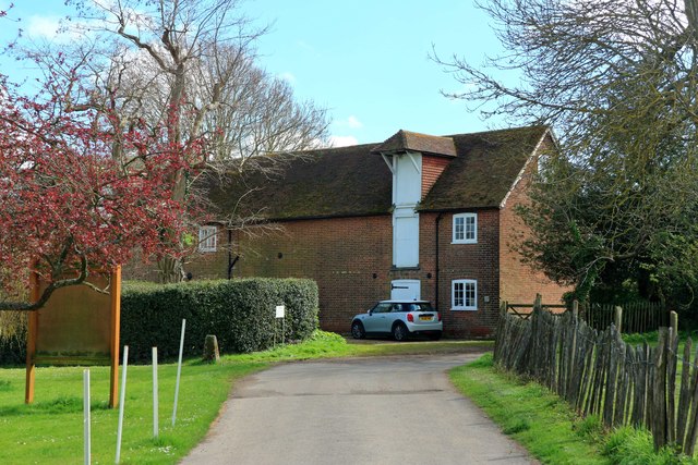
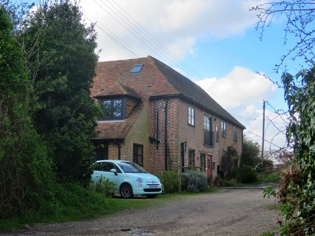
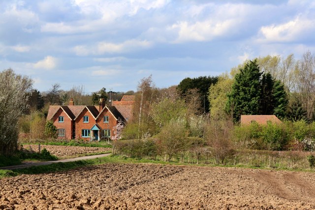
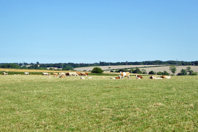
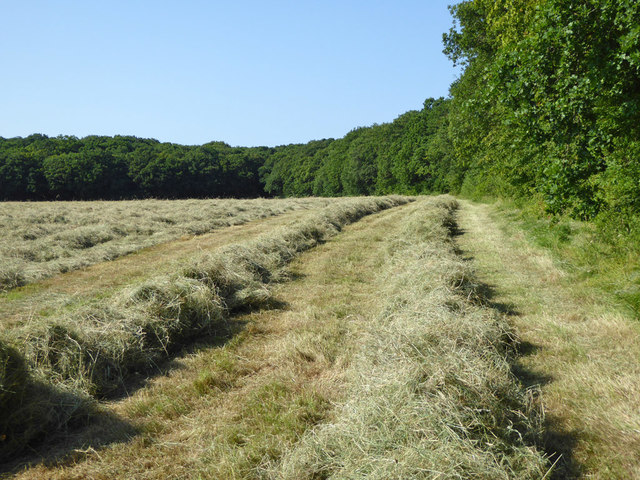
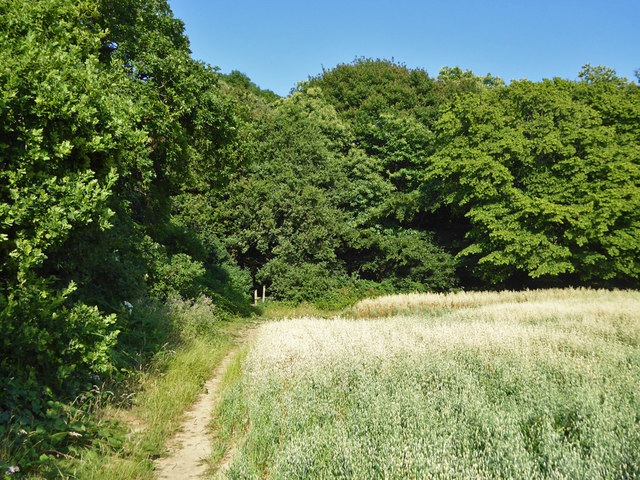
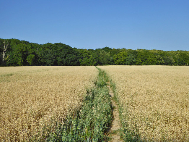
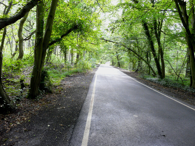
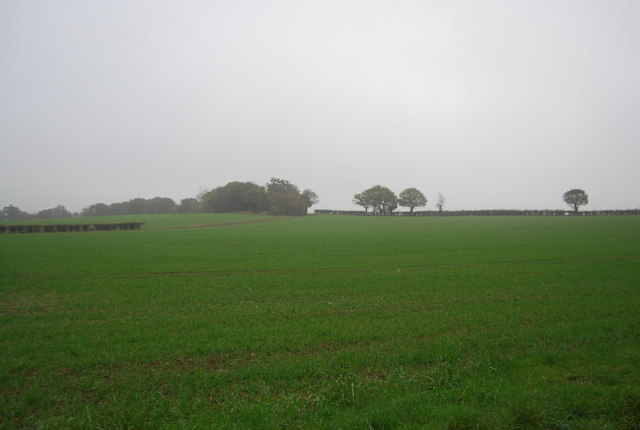
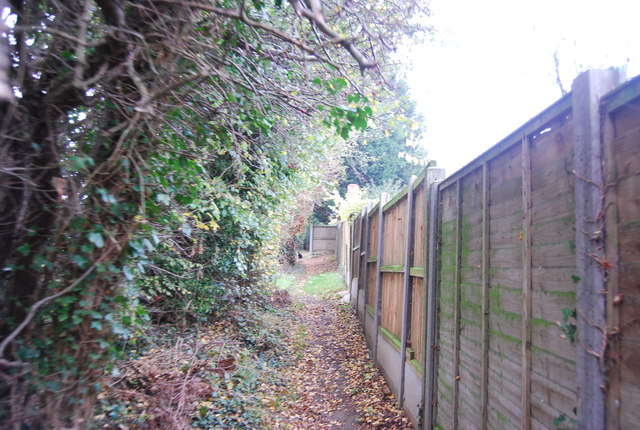
Knave's Ash is a small village located in the county of Kent, England. Situated in the southeastern part of the country, it falls within the district of Ashford. The village is nestled amidst picturesque countryside, characterized by rolling hills, lush green fields, and charming woodland areas.

With a population of around 500 residents, Knave's Ash maintains a tight-knit community atmosphere. The village is known for its peaceful and tranquil environment, making it an ideal place for those seeking a quieter lifestyle away from the hustle and bustle of larger towns and cities.

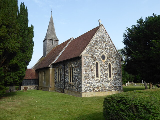
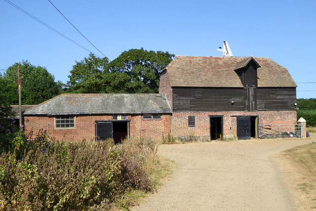
The village features a number of traditional buildings, many of which date back several centuries, adding to its timeless appeal. These structures include a beautiful church, St. Mary's, which stands as a prominent landmark in the village.

Local amenities in Knave's Ash are limited, with a small convenience store catering to the basic needs of residents. However, the village benefits from its close proximity to nearby towns and cities, such as Ashford, which provide a wider range of services, including shopping centers, schools, and healthcare facilities.

The surrounding countryside offers ample opportunities for outdoor activities and exploration. Residents and visitors can enjoy scenic walks, cycling routes, and horse riding trails, taking in the natural beauty of the area.

In conclusion, Knave's Ash is a charming village in Kent, England, offering a peaceful and idyllic setting amidst stunning countryside. Its close-knit community and picturesque surroundings make it an appealing place for those seeking a quieter way of life.

If you have any feedback on the listing, please let us know in the comments section below.
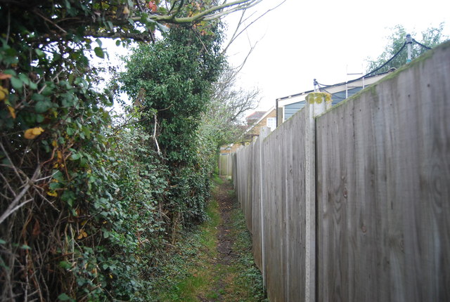
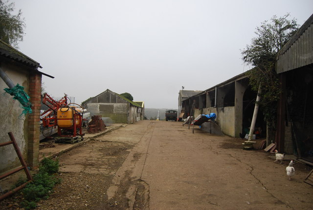
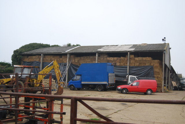
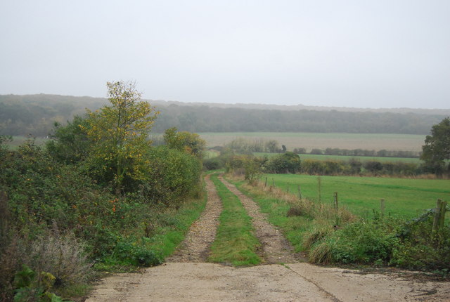
Knave's Ash Images

Images are sourced within 2km of 51.333018/1.152531 or Grid Reference TR1964. Thanks to Geograph Open Source API. All images are credited.

Hoath, Holy Cross
Hoath, Holy Cross
Ordnance Survey Cut Mark This somewhat damaged mark can be found on the wall of Holy Cross Church in Hoath.
For more detail see : <span class="nowrap"><a title="http://www.bench-marks.org.uk/bm75222" rel="nofollow ugc noopener" href="http://www.bench-marks.org.uk/bm75222">Link</a><img style="margin-left:2px;" alt="External link" title="External link - shift click to open in new window" src="https://s1.geograph.org.uk/img/external.png" width="10" height="10"/></span>
Ordnance Survey Cut Mark
This somewhat damaged mark can be found on the wall of Holy Cross Church in Hoath. For more detail see : LinkExternal link
The Entrance Porch and Spire of Holy Cross Church in Hoath Viewed from the south. The Spire was also used as an Intersected Station by the Ordnance Survey. <span class="nowrap"><a title="http://trigpointing.uk/trig/25473" rel="nofollow ugc noopener" href="http://trigpointing.uk/trig/25473">Link</a><img style="margin-left:2px;" alt="External link" title="External link - shift click to open in new window" src="https://s1.geograph.org.uk/img/external.png" width="10" height="10"/></span>
The Entrance Porch and Spire of Holy Cross Church in Hoath
Viewed from the south. The Spire was also used as an Intersected Station by the Ordnance Survey. LinkExternal link
Chislet Park Oast, Chislet -
Chislet Park Oast, Chislet
-
Oast Cottage, Shelvingford -
Oast Cottage, Shelvingford
-
Shelvingford Cottage
Cattle east of Calcott A bull on the right, who, along with the rest of the herd, was very laid back.
Cattle east of Calcott
A bull on the right, who, along with the rest of the herd, was very laid back.
Oasthouse at Buckwell Farm A grade II listed building.
Oasthouse at Buckwell Farm
A grade II listed building.
Mown hay, Hicks Forstal
Corner of a field of oats Looking along a footpath that leads into Blean Woods National Nature Reserve.
Corner of a field of oats
Looking along a footpath that leads into Blean Woods National Nature Reserve.
Footpath through a field of oats Leading towards Blean Woods National Nature Reserve.
Footpath through a field of oats
Leading towards Blean Woods National Nature Reserve.
Hicks Forstal Road The rood runs through East Blean Wood, which is a National Nature Reserve.
Hicks Forstal Road
The rood runs through East Blean Wood, which is a National Nature Reserve.
Farmland, Ridgeway Farm
Footpath to Ridgeway Farm
Path to Ridgeway Farm
Ridgeway Farm
Ridgeway Farm
Hay barn, Ridgeway Farm
Footpath to East Blean Wood
Show me another place!

Knave's Ash is located at Grid Ref: TR1964 (Lat: 51.333018, Lng: 1.152531)

Administrative County: Kent

District: Canterbury

Police Authority: Kent

What 3 Words

///adverbs.tape.flank. Near Sturry, Kent

Nearby Locations

Knave's Ash

Related Wikis

Maypole Airfield

Maypole Airfield (ICAO: EGHB) was a general aviation airfield located 2.5 miles (4.0 km) south of Herne Bay, Kent and 5.2 miles (8.4 km) north east of...

Hoath

Hoath is a semi-rural village and civil parish in the City of Canterbury local government district. The hamlets of Knaves Ash, Maypole, Ford, Old Tree...

East Blean Woods

East Blean Woods is a 151.4-hectare (374-acre) biological Site of Special Scientific Interest south of Herne Bay in Kent. It is also a National Nature...

Ford Palace

Ford Palace was a residence of the Archbishops of Canterbury at Ford, about 6.6 miles (10.6 km) north-east of Canterbury and 2.6 miles (4.2 km) south-east...

Nearby Amenities

Located within 500m of 51.333018,1.152531
Barrier: stile
Foot: yes
Lat/Long: 51.3349453/1.1521704
Barrier: stile
Foot: yes
Lat/Long: 51.3338734/1.1521035
Barrier: stile
Bicycle: no
Foot: yes
Material: wood
Stile: stepover
Lat/Long: 51.3325148/1.1588731
East Blean Woods
Information: board
Tourism: information
Lat/Long: 51.3357177/1.1472833
Generator Output Electricity: yes
Generator Source: solar
Generator Type: solar_photovoltaic_panel
Location: roof
Power: generator
Lat/Long: 51.3334003/1.1522944
Generator Output Electricity: yes
Generator Source: solar
Generator Type: solar_photovoltaic_panel
Location: roof
Power: generator
Lat/Long: 51.3330056/1.1534666
Power: pole
Lat/Long: 51.3339885/1.1537442
Power: pole
Lat/Long: 51.335061/1.1574027
Power: pole
Lat/Long: 51.3342826/1.1547245
Power: pole
Lat/Long: 51.3306753/1.1536892
Power: pole
Lat/Long: 51.331499/1.1540835
Power: pole
Lat/Long: 51.3324065/1.1545099
Power: pole
Lat/Long: 51.3333642/1.1549793
Power: pole
Lat/Long: 51.3346688/1.1560522
Power: pole
Lat/Long: 51.3339818/1.1552046
The data included in this document is from www.openstreetmap.org. The data is made available under ODbL.

Have you been to Knave's Ash?

Leave your review of Knave's Ash below (or comments, questions and feedback).