Knaves Green

Settlement in Suffolk Mid Suffolk

England

Knaves Green

Line extension at the Middy The line is being extended, compare to <a href="https://www.geograph.org.uk/photo/2934556">TM1365 : Platform at the end of the line</a>.

The Mid Suffolk Light Railway track extension project will more than double the length of the Middy to approximately 1km, see <span class="nowrap"><a title="https://www.mslr.org.uk/track-extension/" rel="nofollow ugc noopener" href="https://www.mslr.org.uk/track-extension/">Link</a><img style="margin-left:2px;" alt="External link" title="External link - shift click to open in new window" src="https://s1.geograph.org.uk/img/external.png" width="10" height="10"/></span>
Line extension at the Middy Credit: Roger Jones

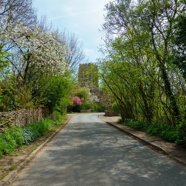
Knaves Green is a small village located in Suffolk, England. Situated in the heart of the countryside, it is surrounded by picturesque landscapes and charming rural beauty. With a population of approximately 200 residents, it is a close-knit and friendly community.

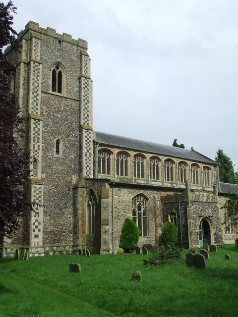
The origins of Knaves Green can be traced back to medieval times, with some historical records dating as far back as the 12th century. The village has retained much of its traditional character, with a mix of historic buildings and modern developments. The local architecture showcases a blend of classic rural designs and contemporary styles.

Despite its small size, Knaves Green offers a range of amenities for its residents. The village boasts a local pub, a primary school, and a village hall that serves as a hub for community activities and events. Additionally, the surrounding countryside provides ample opportunities for outdoor recreation, such as walking, cycling, and horse riding.

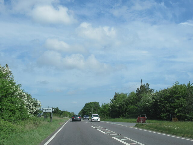
The village is well-connected to nearby towns and cities, with good transport links available. The nearest town, Bury St Edmunds, is just a short drive away and offers a wider range of amenities, including shops, restaurants, and leisure facilities.

Overall, Knaves Green provides a tranquil and idyllic setting for those seeking a peaceful countryside lifestyle. Its rich history, friendly community, and natural beauty make it a desirable place to live for both locals and newcomers alike.

If you have any feedback on the listing, please let us know in the comments section below.

Knaves Green Images

Images are sourced within 2km of 52.248156/1.109396 or Grid Reference TM1265. Thanks to Geograph Open Source API. All images are credited.

Line extension at the Middy The line is being extended, compare to <a href="https://www.geograph.org.uk/photo/2934556">TM1365 : Platform at the end of the line</a>.

The Mid Suffolk Light Railway track extension project will more than double the length of the Middy to approximately 1km, see <span class="nowrap"><a title="https://www.mslr.org.uk/track-extension/" rel="nofollow ugc noopener" href="https://www.mslr.org.uk/track-extension/">Link</a><img style="margin-left:2px;" alt="External link" title="External link - shift click to open in new window" src="https://s1.geograph.org.uk/img/external.png" width="10" height="10"/></span>
Line extension at the Middy
The line is being extended, compare to TM1365 : Platform at the end of the line. The Mid Suffolk Light Railway track extension project will more than double the length of the Middy to approximately 1km, see LinkExternal link
Trackwork (points) at Mid Suffolk Light Railway A collection of images from this railway museum in Suffolk.
Trackwork (points) at Mid Suffolk Light Railway
A collection of images from this railway museum in Suffolk.
Spring Blossom on Church Street, Wetheringsett
Wetheringsett Manor
Wetheringsett Manor
The end of the line (for the moment) It looks like no further track has been laid in The Middy's line extension project since 2021: <a href="https://www.geograph.org.uk/photo/6948980">TM1365 : Line extension at the Middy</a>. For a view in the opposite direction see <a href="https://www.geograph.org.uk/photo/7156435">TM1365 : Mid Suffolk Light Railway track extension</a>.
The end of the line (for the moment)
It looks like no further track has been laid in The Middy's line extension project since 2021: TM1365 : Line extension at the Middy. For a view in the opposite direction see TM1365 : Mid Suffolk Light Railway track extension.
Brockford Sidings Brockford Sidings is a collection of old railway carriages and buildings (some from the Mid Suffolk Light Railway) which are available to let as holiday accommodation: <span class="nowrap"><a title="http://www.brockfordsiding.co.uk/" rel="nofollow ugc noopener" href="http://www.brockfordsiding.co.uk/">Link</a><img style="margin-left:2px;" alt="External link" title="External link - shift click to open in new window" src="https://s1.geograph.org.uk/img/external.png" width="10" height="10"/></span>. It is close to the Mid Suffolk Light Railway museum <span class="nowrap"><a title="https://www.mslr.org.uk/" rel="nofollow ugc noopener" href="https://www.mslr.org.uk/">Link</a><img style="margin-left:2px;" alt="External link" title="External link - shift click to open in new window" src="https://s1.geograph.org.uk/img/external.png" width="10" height="10"/></span> and to the trackbed of the old line.
Brockford Sidings
Brockford Sidings is a collection of old railway carriages and buildings (some from the Mid Suffolk Light Railway) which are available to let as holiday accommodation: LinkExternal link. It is close to the Mid Suffolk Light Railway museum LinkExternal link and to the trackbed of the old line.
Mid Suffolk Light Railway track extension A goods wagon on the track marks the current limit of operation on the extended MSLR track at Brockford. For a view in the opposite direction see <a href="https://www.geograph.org.uk/photo/7156289">TM1365 : The end of the line (for the moment)</a>.
Mid Suffolk Light Railway track extension
A goods wagon on the track marks the current limit of operation on the extended MSLR track at Brockford. For a view in the opposite direction see TM1365 : The end of the line (for the moment).
A140 north at turning for Mendelsham Industrial Estate
A140 north Norwich 29 miles, Cromer 52
A140 north at turning for Brockford Green
A140 north at turning for Mendlesham
A140 north at Brockford Street village sign
A140 north passing Brockford Street BP garage
9 and 11 - 15 Front Street, Mendlesham <span class="nowrap"><a title="https://historicengland.org.uk/listing/the-list/list-entry/1352505?section=official-list-entry" rel="nofollow ugc noopener" href="https://historicengland.org.uk/listing/the-list/list-entry/1352505?section=official-list-entry">Link</a><img style="margin-left:2px;" alt="External link" title="External link - shift click to open in new window" src="https://s1.geograph.org.uk/img/external.png" width="10" height="10"/></span>
9 and 11 - 15 Front Street, Mendlesham
Church of St Mary, Mendlesham <span class="nowrap"><a title="https://historicengland.org.uk/listing/the-list/list-entry/1032241?section=official-list-entry" rel="nofollow ugc noopener" href="https://historicengland.org.uk/listing/the-list/list-entry/1032241?section=official-list-entry">Link</a><img style="margin-left:2px;" alt="External link" title="External link - shift click to open in new window" src="https://s1.geograph.org.uk/img/external.png" width="10" height="10"/></span>
Church of St Mary, Mendlesham
Old Tiles, Beecholme and Tower House, Mendlesham <span class="nowrap"><a title="https://historicengland.org.uk/listing/the-list/list-entry/1032242?section=official-list-entry" rel="nofollow ugc noopener" href="https://historicengland.org.uk/listing/the-list/list-entry/1032242?section=official-list-entry">Link</a><img style="margin-left:2px;" alt="External link" title="External link - shift click to open in new window" src="https://s1.geograph.org.uk/img/external.png" width="10" height="10"/></span> and <span class="nowrap"><a title="https://historicengland.org.uk/listing/the-list/list-entry/1032245?section=official-list-entry" rel="nofollow ugc noopener" href="https://historicengland.org.uk/listing/the-list/list-entry/1032245?section=official-list-entry">Link</a><img style="margin-left:2px;" alt="External link" title="External link - shift click to open in new window" src="https://s1.geograph.org.uk/img/external.png" width="10" height="10"/></span>
Old Tiles, Beecholme and Tower House, Mendlesham
LinkExternal link and LinkExternal link
Doorway and Font at Church of St Mary, Mendlesham <span class="nowrap"><a title="https://historicengland.org.uk/listing/the-list/list-entry/1032241?section=official-list-entry" rel="nofollow ugc noopener" href="https://historicengland.org.uk/listing/the-list/list-entry/1032241?section=official-list-entry">Link</a><img style="margin-left:2px;" alt="External link" title="External link - shift click to open in new window" src="https://s1.geograph.org.uk/img/external.png" width="10" height="10"/></span>
Doorway and Font at Church of St Mary, Mendlesham
Font and Organ at Church of St Mary, Mendlesham <span class="nowrap"><a title="https://historicengland.org.uk/listing/the-list/list-entry/1032241?section=official-list-entry" rel="nofollow ugc noopener" href="https://historicengland.org.uk/listing/the-list/list-entry/1032241?section=official-list-entry">Link</a><img style="margin-left:2px;" alt="External link" title="External link - shift click to open in new window" src="https://s1.geograph.org.uk/img/external.png" width="10" height="10"/></span>
Font and Organ at Church of St Mary, Mendlesham
Show me another place!

Knaves Green is located at Grid Ref: TM1265 (Lat: 52.248156, Lng: 1.109396)

Administrative County: Suffolk

District: Mid Suffolk

Police Authority: Suffolk

What 3 Words

///excavate.giggles.numeral. Near Debenham, Suffolk

Related Wikis

Brockford and Wetheringsett railway station

Brockford and Wetheringsett railway station was a station on the Mid-Suffolk Light Railway. == History == Brockford and Wetheringsett railway station served...

Mid-Suffolk Light Railway

The Mid-Suffolk Light Railway (MSLR) was a standard gauge railway intended to open up an agricultural area of central Suffolk; it took advantage of the...

Wetheringsett-cum-Brockford

Wetheringsett-cum-Brockford is a civil parish in the Mid Suffolk district of Suffolk in eastern England. The parish contains the village of Wetheringsett...

Wetheringsett

Wetheringsett is a village in the Mid Suffolk district of Suffolk in eastern England. Located to the east of the A140, it is the largest village in the...

Nearby Amenities

Located within 500m of 52.248156,1.109396
Brockford Green
Created By: Potlatch 0.10b
Place: village
Lat/Long: 52.246364/1.1096224
Bus Stop
Hall Lane
Naptan AtcoCode: 390040047
Naptan Bearing: NW
Naptan CommonName: Hall Lane
Naptan Indicator: opp
Naptan Landmark: Hall Lane
Naptan NaptanCode: sufatwdt
Naptan Street: Hockey Hill
Naptan Verified: no
Source: naptan_import
Lat/Long: 52.2505621/1.1147428
Bus Stop
Hall Lane
Bus: yes
Naptan AtcoCode: 390040048
Naptan Bearing: SE
Naptan BusStopType: CUS
Naptan CommonName: Hall Lane
Naptan Indicator: adj
Naptan Landmark: Hall Lane
Naptan NaptanCode: sufatwdw
Naptan Street: Hockey Hill
Naptan Verified: no
Public Transport: platform
Source: naptan_import
Lat/Long: 52.2506491/1.1148515
The data included in this document is from www.openstreetmap.org. The data is made available under ODbL.

Have you been to Knaves Green?

Leave your review of Knaves Green below (or comments, questions and feedback).