Knaven
Settlement in Aberdeenshire
Scotland
Knaven

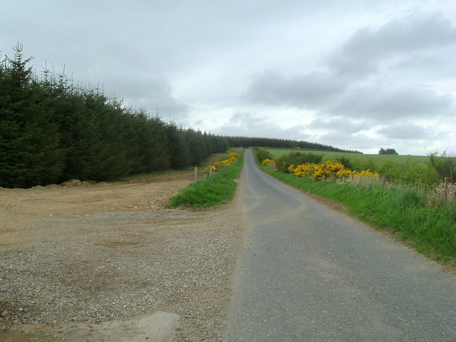
Knaven is a small village located in the Aberdeenshire region of Scotland. Situated approximately 20 miles northwest of Aberdeen, the village is nestled amidst picturesque countryside scenery, offering its residents and visitors a tranquil and idyllic setting.
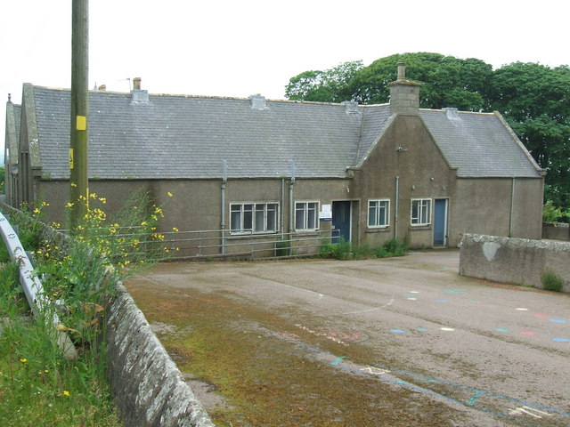
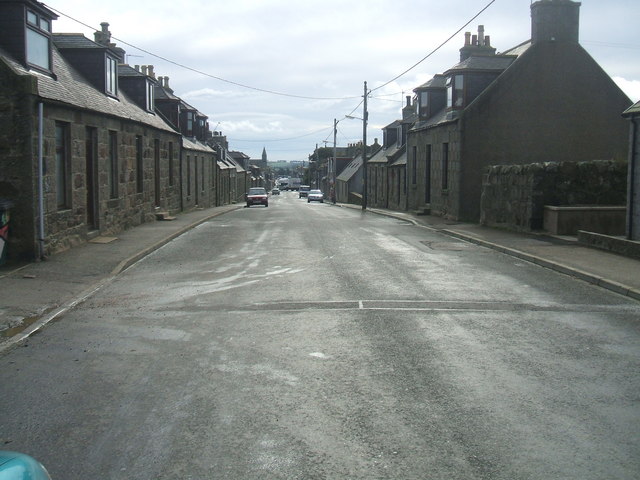
With a population of just under 200 people, Knaven is a close-knit community that fosters a strong sense of belonging and community spirit. The village is characterized by its charming traditional stone houses, which are complemented by well-maintained gardens and green spaces.
Knaven benefits from its proximity to the stunning Scottish Highlands, with the Cairngorms National Park lying just a short distance to the west. This presents ample opportunities for outdoor enthusiasts, with hiking, mountain biking, and fishing being popular activities in the area.
While Knaven does not have its own schools or medical facilities, it is conveniently located near neighboring towns that offer these amenities. The village boasts a local pub, providing a friendly gathering place for residents to socialize and enjoy a pint.
The economy of Knaven primarily relies on agriculture, with many residents engaged in farming and livestock rearing. The village is surrounded by fertile farmlands, contributing to the region's agricultural productivity.
Overall, Knaven offers a peaceful and rural lifestyle for its residents, with access to stunning natural landscapes and a strong sense of community. It is an ideal place for those seeking a slower pace of life amidst the beauty of the Scottish countryside.
If you have any feedback on the listing, please let us know in the comments section below.
Knaven Images
Images are sourced within 2km of 57.476246/-2.181503 or Grid Reference NJ8942. Thanks to Geograph Open Source API. All images are credited.


Knaven is located at Grid Ref: NJ8942 (Lat: 57.476246, Lng: -2.181503)
Unitary Authority: Aberdeenshire
Police Authority: North East
What 3 Words
///vandalism.groom.toned. Near Mintlaw, Aberdeenshire
Nearby Locations
Related Wikis
Cairnorrie
Cairnorrie is a rural settlement in the Formartine area of Aberdeenshire, Scotland, situated on the B9170 road between Methlick and New Deer. The primary...

Auchnagatt railway station
Auchnagatt railway station was a railway station in Auchnagatt, Aberdeenshire. Before its closure, services ran to Fraserburgh, Peterhead and Aberdeen...
New Deer
New Deer (Scottish Gaelic: Achadh Reite) is a settlement in Aberdeenshire, North East Scotland, which lies in the valley of Deer. It is located at the...

Auchnagatt
Auchnagatt (Scottish Gaelic: Achadh nan Cat) is a village and rural area in Buchan, Aberdeenshire, Scotland, situated on the Ebrie Burn and on the A948...

Formartine and Buchan Way
The Formartine and Buchan Way is a long-distance trail in Scotland, extending from Dyce north to Peterhead and Fraserburgh in the Buchan and Formartine...

Maud F.C.
Maud Football Club are a Scottish football club from the village of Maud, Aberdeenshire. Members of the Scottish Junior Football Association, they currently...

Maud Hospital
Maud Hospital was a small hospital providing psychogeriatric services in Maud, Aberdeenshire. It was managed by NHS Grampian. == History == The hospital...
Clackriach Castle
Clackriach Castle was a 16th-century tower house, about 11 miles (18 km) north of Ellon, Aberdeenshire, Scotland, and 1 mile (1.6 km) south-east of Maud...
Nearby Amenities
Located within 500m of 57.476246,-2.181503Have you been to Knaven?
Leave your review of Knaven below (or comments, questions and feedback).