Boathouse Hill

Hill, Mountain in Norfolk South Norfolk

England

Boathouse Hill

Dinghies on the Waveney
Dinghies on the Waveney Credit: Chris Holifield

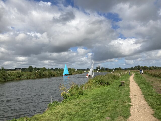
Boathouse Hill is a prominent landform located in Norfolk, England. Despite its name, it is not an actual hill nor mountain but rather a unique geological formation that has attracted the attention of locals and tourists alike. Situated near the coastal village of Blakeney, Boathouse Hill is a large sand and gravel bank that stretches over a considerable area.

The formation of Boathouse Hill can be attributed to the relentless forces of erosion and deposition by the North Sea. Over centuries, the coastal currents have brought sediments, predominantly sand and gravel, and deposited them along the shoreline. As a result, Boathouse Hill has gradually formed, rising above the surrounding landscape.

One of the distinctive features of Boathouse Hill is its sandy slopes, which provide a stunning panoramic view of the surrounding area. Visitors can enjoy breathtaking vistas of the Norfolk coast, the salt marshes, and the serene countryside. The site is particularly popular among birdwatchers, as it offers an excellent vantage point to observe a variety of coastal and migratory bird species.

Additionally, Boathouse Hill is home to an array of plant life, including grasses, shrubs, and wildflowers. These vegetation types contribute to the natural beauty of the area and provide habitats for various animal species, such as rabbits and small mammals.

Overall, Boathouse Hill is a remarkable geological feature that showcases the dynamic nature of the Norfolk coastline. Its unique sand and gravel bank, coupled with its breathtaking views and diverse wildlife, make it a must-visit destination for nature enthusiasts and those seeking an escape to the tranquil beauty of the English countryside.

If you have any feedback on the listing, please let us know in the comments section below.

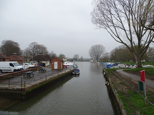
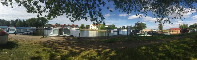
Boathouse Hill Images

Images are sourced within 2km of 52.478811/1.5716086 or Grid Reference TM4292. Thanks to Geograph Open Source API. All images are credited.

Dinghies on the Waveney
Benchmark on Beccles Bridge The benchmark is on the southern face of the Norfolk abutment and can be viewed only from the river bank. A more general view - <a title="https://www.geograph.org.uk/photo/7054688" href="https://www.geograph.org.uk/photo/7054688">Link</a>
Benchmark on Beccles Bridge
The benchmark is on the southern face of the Norfolk abutment and can be viewed only from the river bank. A more general view - Link
Benchmark on Beccles Bridge The benchmark is on the southern face of the Norfolk abutment and can be viewed only from the river bank.
Can be seen on the third block down from the capstone on the right-hand side. <a title="https://www.geograph.org.uk/photo/7054683" href="https://www.geograph.org.uk/photo/7054683">Link</a>
Benchmark on Beccles Bridge
The benchmark is on the southern face of the Norfolk abutment and can be viewed only from the river bank. Can be seen on the third block down from the capstone on the right-hand side. Link
Benchmark on the wall of 38 Ravensmere, Beccles The benchmark is approximately 50cms from ground level and is in very good condition considering its age and location.
<a title="https://www.geograph.org.uk/photo/7054705" href="https://www.geograph.org.uk/photo/7054705">Link</a>
Benchmark on the wall of 38 Ravensmere, Beccles
The benchmark is approximately 50cms from ground level and is in very good condition considering its age and location. Link
Benchmark on the wall of 38 Ravensmere, Beccles The benchmark is approximately 50cms from ground level and is in very good condition considering its age and location. It is six bricks up from ground level immediately to the right of the gate.
<a title="https://www.geograph.org.uk/photo/7054696" href="https://www.geograph.org.uk/photo/7054696">Link</a>
Benchmark on the wall of 38 Ravensmere, Beccles
The benchmark is approximately 50cms from ground level and is in very good condition considering its age and location. It is six bricks up from ground level immediately to the right of the gate. Link
Beccles Boatyards
Beccles Boatyards
Boathouse Hill Cottages
Stanchion for old railway bridge
Angles Way
Angles Way
Former railway bridge support On River Waveney. Railway formerly connecting Beccles with Haddiscoe and St Olaves to the north directly, across the marshes.
Former railway bridge support
On River Waveney. Railway formerly connecting Beccles with Haddiscoe and St Olaves to the north directly, across the marshes.
Beccles (River Waveney) Beautiful summer's morning at moorings on river
Beccles (River Waveney)
Beautiful summer's morning at moorings on river
The former Maltings and Tannery by the river <span class="nowrap"><a title="https://en.wikipedia.org/wiki/Beccles" rel="nofollow ugc noopener" href="https://en.wikipedia.org/wiki/Beccles">Link</a><img style="margin-left:2px;" alt="External link" title="External link - shift click to open in new window" src="https://s1.geograph.org.uk/img/external.png" width="10" height="10"/></span>
The former Maltings and Tannery by the river
Car park on the former railway line The railway passed right to left immediately between the camera and the side of the building ahead on its way to Tivetshall via Geldeston Station, the next stop.
Car park on the former railway line
The railway passed right to left immediately between the camera and the side of the building ahead on its way to Tivetshall via Geldeston Station, the next stop.
Common Lane North Industrial Estate The car park was built on the site of the old railway line which would have passed the camera and continued past where the tallest tree now stands before reaching the crossing on Pound Road.
Common Lane North Industrial Estate
The car park was built on the site of the old railway line which would have passed the camera and continued past where the tallest tree now stands before reaching the crossing on Pound Road.
Pound Road at the site of the former Railway Crossing The house has been built on the original track-bed of the railway passing behind the wall on the right before crossing over the girder bridge with only 9 feet 3 inches clearance on Ravensmere.
Pound Road at the site of the former Railway Crossing
The house has been built on the original track-bed of the railway passing behind the wall on the right before crossing over the girder bridge with only 9 feet 3 inches clearance on Ravensmere.
The site of the former railway bridge at Ravensmere The train passed through where the wooden fence now is.
The clearance was only 9 feet 3 inches under the girder. The road was lowered to save there being three crossings within 160 yards of each other. (Pound Road, Ravensmere and Northgate). Since the demolition of the bridge the road is once more at its original level concealing most of the abutments. There was often a foot or more of water below the bridge after heavy rain.
The site of the former railway bridge at Ravensmere
The train passed through where the wooden fence now is. The clearance was only 9 feet 3 inches under the girder. The road was lowered to save there being three crossings within 160 yards of each other. (Pound Road, Ravensmere and Northgate). Since the demolition of the bridge the road is once more at its original level concealing most of the abutments. There was often a foot or more of water below the bridge after heavy rain.
Northgate, Beccles, site of the former railway crossing The railway crossed the road here before crossing the River Waveney, from which the line takes its name.
Northgate, Beccles, site of the former railway crossing
The railway crossed the road here before crossing the River Waveney, from which the line takes its name.
Name plate on the house The house was built on the former track-bed of the railway.
Name plate on the house
The house was built on the former track-bed of the railway.
Show me another place!

Boathouse Hill is located at Grid Ref: TM4292 (Lat: 52.478811, Lng: 1.5716086)

Administrative County: Norfolk

District: South Norfolk

Police Authority: Norfolk

What 3 Words

///shoving.clubbing.tonality. Near Beccles, Suffolk

Related Wikis

Stanley and Alder Carrs, Aldeby

Stanley and Alder Carrs, Aldeby is a 42.7-hectare (106-acre) biological Site of Special Scientific Interest east of Gillingham in Norfolk. It is part of...
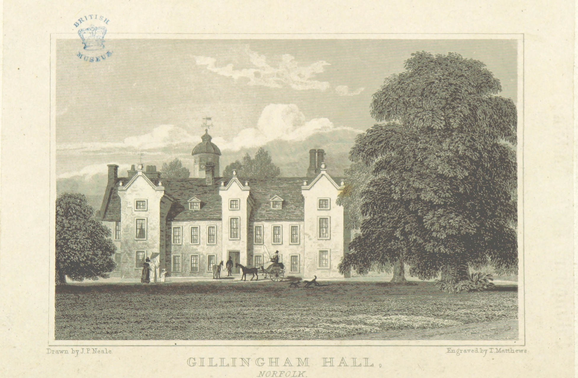
Gillingham Hall

Gillingham Hall is a Jacobean manor house in the village of Gillingham, Norfolk, England. It is a Grade II* Listed Building.The house has 10-bedrooms and...

Gillingham, Norfolk

Gillingham ( GHIL-ing-əm) is a small village and civil parish in the English county of Norfolk. The villages is located 1.5 miles (2.4 km) north-west...

Toft Monks

Toft Monks is a village and parish in Norfolk, England. It is located on the border of Norfolk and Suffolk about eleven miles southwest of Great Yarmouth...

Nearby Amenities

Located within 500m of 52.478811,1.5716086
Barrier: stile
Foot: yes
Lat/Long: 52.4752773/1.5679677
Barrier: stile
Foot: yes
Lat/Long: 52.4831321/1.5718407
Give Way
Lat/Long: 52.4809303/1.5696663
Power: pole
Lat/Long: 52.4791244/1.5726918
Power: pole
Lat/Long: 52.4794968/1.5742636
Power: pole
Lat/Long: 52.4798758/1.5757924
Power: pole
Lat/Long: 52.4802189/1.5772247
Power: pole
Lat/Long: 52.480379/1.5778792
Power: pole
Lat/Long: 52.4809654/1.5772033
Power: pole
Lat/Long: 52.481511/1.5765837
Material: wood
Power: pole
Lat/Long: 52.482251/1.5757334
Power: pole
Lat/Long: 52.4776427/1.568765
Power: pole
Lat/Long: 52.4770464/1.5684727
Power: pole
Lat/Long: 52.4787552/1.5711576
Power: pole
Lat/Long: 52.4789643/1.5701625
Power: pole
Lat/Long: 52.479438/1.5685934
Power: pole
Lat/Long: 52.4788646/1.5686484
Material: wood
Power: pole
Lat/Long: 52.4803561/1.5685236
Material: wood
Power: pole
Lat/Long: 52.4805872/1.5685129
Power: pole
Lat/Long: 52.4823588/1.5690333
Power: pole
Lat/Long: 52.4815159/1.5684807
The data included in this document is from www.openstreetmap.org. The data is made available under ODbL.

Have you been to Boathouse Hill?

Leave your review of Boathouse Hill below (or comments, questions and feedback).