Falklands Belt
Wood, Forest in Norfolk South Norfolk
England
Falklands Belt
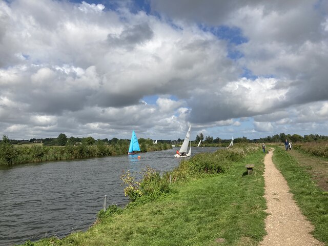
Falklands Belt, Norfolk, is a beautiful and picturesque woodland area located in the heart of Norfolk, England. Spread across an estimated area of several acres, this enchanting forest is known for its diverse range of flora and fauna, making it a popular destination for nature enthusiasts and hikers alike.
The woodland is characterized by its dense canopy of trees, predominantly consisting of oak, beech, and pine. These towering trees provide ample shade and create a serene and peaceful atmosphere, perfect for those seeking a tranquil escape from the bustling city life. The forest floor is rich with a variety of wildflowers and ferns, adding to the overall charm and beauty of the area.
Falklands Belt is home to a wide array of wildlife, including several bird species, such as woodpeckers, owls, and robins, making it an ideal spot for birdwatchers. Additionally, the forest is a habitat for various mammals, including deer, foxes, and squirrels.
The forest offers numerous walking trails and paths, allowing visitors to explore the natural wonders at their own pace. These trails are well-maintained and offer stunning views of the surrounding countryside. There are also picnic areas and benches scattered throughout the woodland, providing a perfect spot for visitors to relax and enjoy a picnic amidst nature.
Falklands Belt, Norfolk, truly offers a serene and idyllic experience for nature lovers, providing a much-needed retreat from the hustle and bustle of everyday life.
If you have any feedback on the listing, please let us know in the comments section below.
Falklands Belt Images
Images are sourced within 2km of 52.475945/1.5646593 or Grid Reference TM4292. Thanks to Geograph Open Source API. All images are credited.


Falklands Belt is located at Grid Ref: TM4292 (Lat: 52.475945, Lng: 1.5646593)
Administrative County: Norfolk
District: South Norfolk
Police Authority: Norfolk
What 3 Words
///unwound.scenes.photocopy. Near Beccles, Suffolk
Nearby Locations
Related Wikis
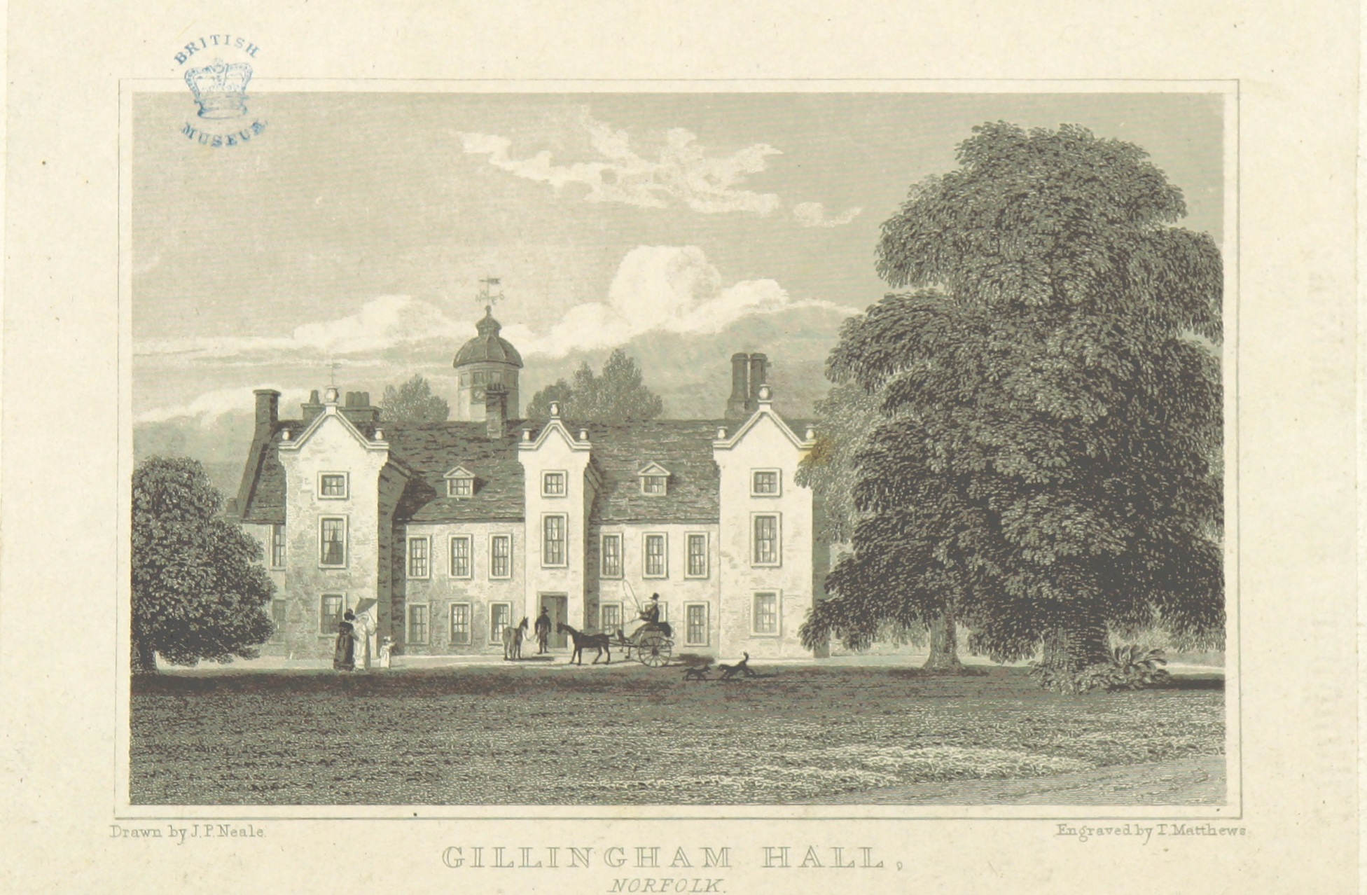
Gillingham Hall
Gillingham Hall is a Jacobean manor house in the village of Gillingham, Norfolk, England. It is a Grade II* Listed Building.The house has 10-bedrooms and...
Gillingham, Norfolk
Gillingham ( GHIL-ing-əm) is a small village and civil parish in the English county of Norfolk. The villages is located 1.5 miles (2.4 km) north-west...

Stanley and Alder Carrs, Aldeby
Stanley and Alder Carrs, Aldeby is a 42.7-hectare (106-acre) biological Site of Special Scientific Interest east of Gillingham in Norfolk. It is part of...

Haughey Air AgustaWestland AW139 crash
On 13 March 2014, an AgustaWestland AW139 helicopter of Haughey Air crashed shortly after taking off at night in fog from Gillingham, Norfolk, United Kingdom...
Nearby Amenities
Located within 500m of 52.475945,1.5646593Have you been to Falklands Belt?
Leave your review of Falklands Belt below (or comments, questions and feedback).