Church Hill
Hill, Mountain in Suffolk East Suffolk
England
Church Hill

Church Hill is a small hill located in Suffolk, England. Situated in the picturesque countryside, it offers stunning panoramic views of the surrounding area. Despite its name, Church Hill is not home to a church but is named after a nearby village called Church Hill.
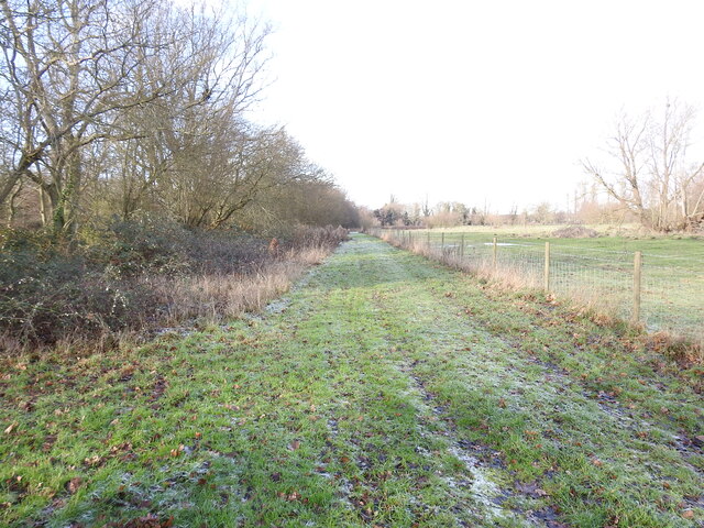
The hill is relatively small, with a gentle slope that makes it easily accessible to hikers and nature enthusiasts. It is covered in lush green grass, dotted with colorful wildflowers during the spring and summer months. The hill is also home to a variety of wildlife, including birds, rabbits, and occasionally deer.
At the top of Church Hill, visitors can enjoy breathtaking views of the rolling hills, fields, and woodlands that stretch out for miles. On a clear day, it is even possible to see the distant coastline.
The hill is a popular spot for picnics and leisurely walks, with several footpaths leading to and around it. Many local residents and tourists visit Church Hill to take in the natural beauty and enjoy the peaceful atmosphere. It offers a tranquil escape from the hustle and bustle of everyday life.
Church Hill is also a great place for photography enthusiasts, as it provides numerous opportunities to capture the stunning landscapes and wildlife. Whether it's a leisurely stroll or a hike to the top, Church Hill offers a serene and picturesque experience for all who visit.
If you have any feedback on the listing, please let us know in the comments section below.
Church Hill Images
Images are sourced within 2km of 52.337509/1.5629316 or Grid Reference TM4277. Thanks to Geograph Open Source API. All images are credited.


Church Hill is located at Grid Ref: TM4277 (Lat: 52.337509, Lng: 1.5629316)
Administrative County: Suffolk
District: East Suffolk
Police Authority: Suffolk
What 3 Words
///lecturing.foreheads.client. Near Halesworth, Suffolk
Nearby Locations
Related Wikis
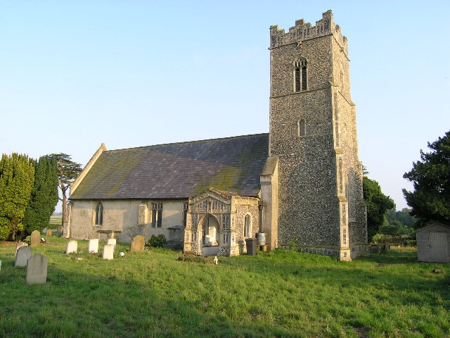
Blyford
Blyford (formerly known as Blythford) is a village and civil parish in the East Suffolk district of Suffolk, England, about 3 miles (5 km) east of Halesworth...
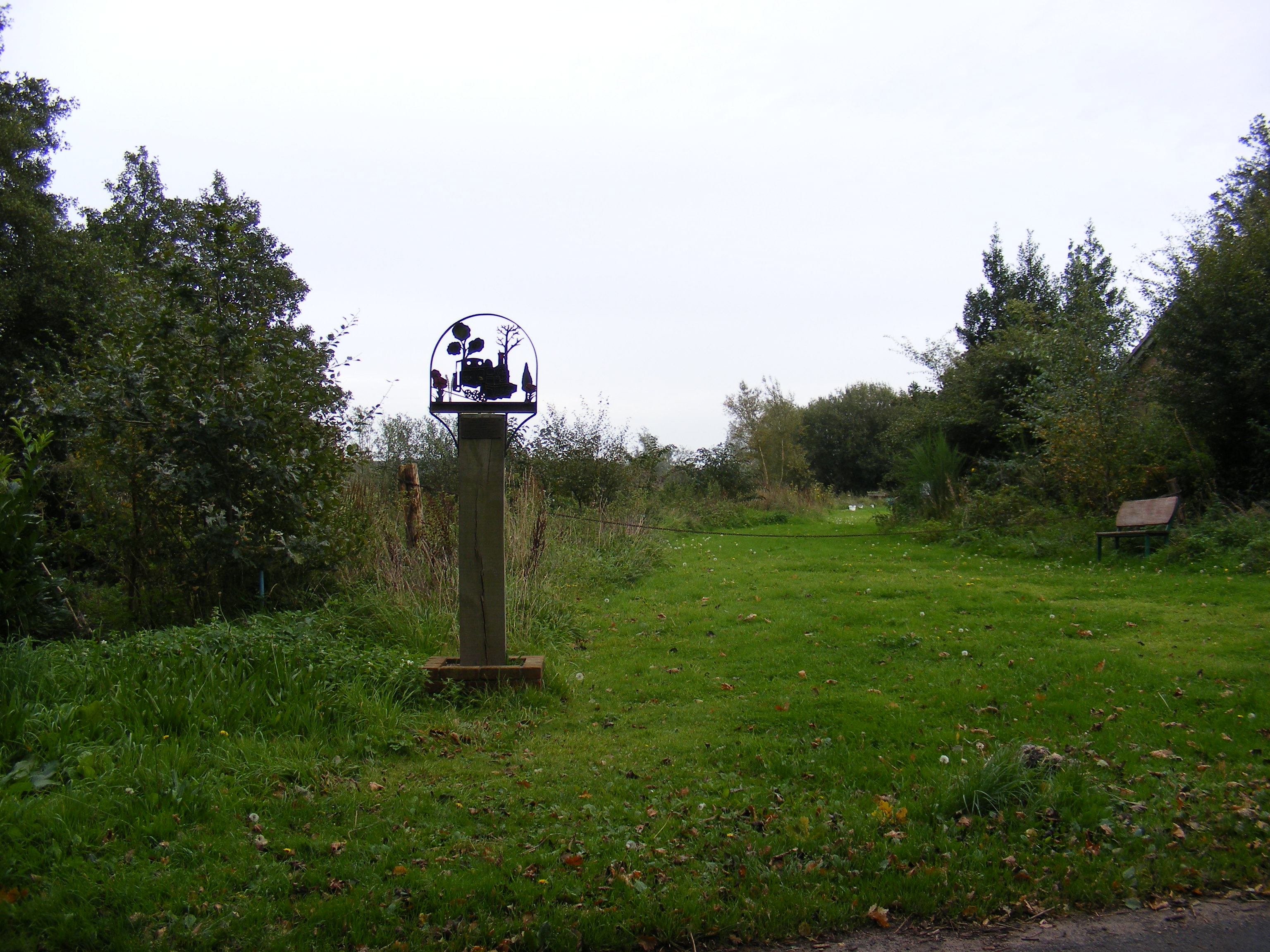
Wenhaston railway station
Wenhaston railway station was in Wenhaston, Suffolk. It closed in 1929, 50 years after it had opened for passenger traffic. The Southwold Railway Trust...
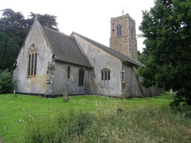
Wenhaston
Wenhaston is a village situated to the south of the River Blyth in northeastern Suffolk, England. In 2018 it had an estimated population of 563. ��2�...

Blything Hundred
Blything was a hundred of eastern Suffolk, and with an area of 87,641 acres (354.67 km2) was the largest of Suffolk's 21 hundreds. The origins of the hundred...
Nearby Amenities
Located within 500m of 52.337509,1.5629316Have you been to Church Hill?
Leave your review of Church Hill below (or comments, questions and feedback).