Broom Hill

Hill, Mountain in Suffolk East Suffolk

England

Broom Hill

Road junction to Campsea Ashe on Ash Road
Road junction to Campsea Ashe on Ash Road Credit: Adrian S Pye

Broom Hill is a prominent hill located in Suffolk, England. It is situated in the eastern part of the county, near the village of Sutton. Despite its name, Broom Hill is not a mountain but rather a hill that rises to an elevation of around 92 meters (302 feet) above sea level.

The hill is covered in a variety of vegetation, including heather, gorse, and bracken. These plants create a vibrant display of colors during the spring and summer months, attracting numerous visitors to its scenic beauty. Broom Hill is also home to a diverse range of wildlife, including birds, butterflies, and small mammals.

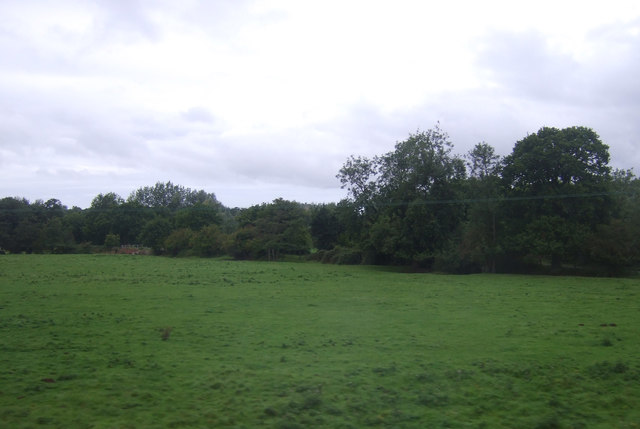
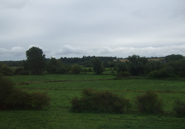
The hill is a popular destination for hikers and nature enthusiasts, offering breathtaking views of the surrounding countryside. From the top of Broom Hill, one can see expansive vistas of the Suffolk landscape, including rolling hills, picturesque farmland, and quaint villages.

Additionally, Broom Hill has historical significance. It is believed to have been an important site during the Iron Age, and there are remnants of ancient settlements and burial mounds found in the area. These archaeological features provide insight into the region's past and attract history enthusiasts.

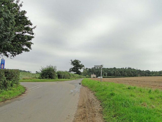
Broom Hill is easily accessible, with several footpaths and trails leading to its summit. Whether it's for a leisurely stroll or a more challenging hike, this hill offers an enjoyable outdoor experience for visitors of all ages.

If you have any feedback on the listing, please let us know in the comments section below.
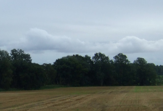
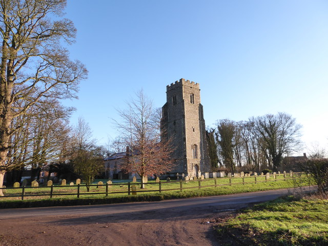
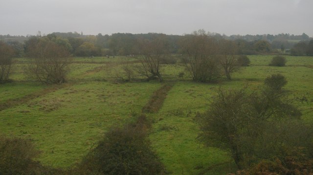
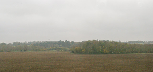
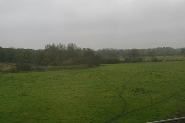
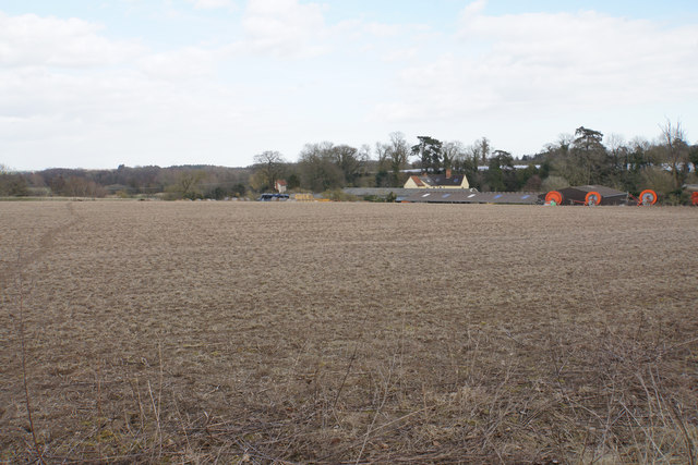
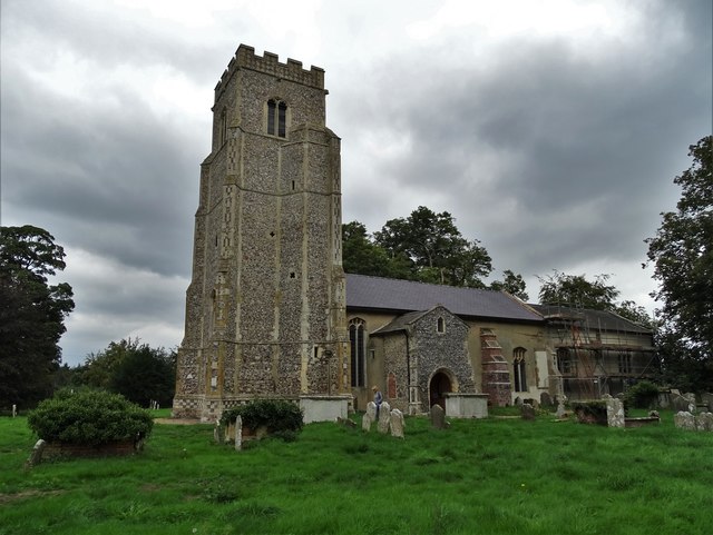
Broom Hill Images

Images are sourced within 2km of 52.12442/1.3856153 or Grid Reference TM3152. Thanks to Geograph Open Source API. All images are credited.

Road junction to Campsea Ashe on Ash Road
War Memorial & Roll of Honour in Rendlesham St. Gregory The Roll of Honour can be seen in greater detail here > <a title="https://www.geograph.org.uk/photo/4409370" href="https://www.geograph.org.uk/photo/4409370">Link</a>
War Memorial & Roll of Honour in Rendlesham St. Gregory
The Roll of Honour can be seen in greater detail here > Link
Grazing near Low Farm
Fields near Low Farm
Drain near Low Farm
Drain near Low Farm
Stubble field and woodland near Ash Abbey
Inside St Gregory's Church The clear glass and the grey gloss paint on the pews give the interior a light airy feel.  The fantastic decorated tracery in the east window is Georgian work of 1783 and made of wood, but the communion rails are from the 17th century.
Inside St Gregory's Church
The clear glass and the grey gloss paint on the pews give the interior a light airy feel. The fantastic decorated tracery in the east window is Georgian work of 1783 and made of wood, but the communion rails are from the 17th century.
Lest we Forget A display for the centenary of the Great War in the priest's doorway at St Gregory's Church.
Lest we Forget
A display for the centenary of the Great War in the priest's doorway at St Gregory's Church.
Grinning lion One of eight (four around the stem and four on the bowl) surrounding the font in St Gregory's Church.
Grinning lion
One of eight (four around the stem and four on the bowl) surrounding the font in St Gregory's Church.
St.Gregory the Great, Rendlesham: late December 2016
Deben valley water-meadows, Ufford, from the railway
Deben valley water-meadows near Ufford, from the railway
Ploughed field and wood from the railway
Deben valley water-meadows from the railway
Fields with plastic covering The plastic sheeting insulates the crop and helps it to germinate.
Fields with plastic covering
The plastic sheeting insulates the crop and helps it to germinate.
Field by Sink Farm Looking north from Bridge Road.
Field by Sink Farm
Looking north from Bridge Road.
Church of St Gregory the Great at Rendlesham
Show me another place!

Broom Hill is located at Grid Ref: TM3152 (Lat: 52.12442, Lng: 1.3856153)

Administrative County: Suffolk

District: East Suffolk

Police Authority: Suffolk

What 3 Words

///amaze.handwriting.dentistry. Near Rendlesham, Suffolk

Nearby Locations

Broom Hill

Related Wikis

Campsey Priory

Campsey Priory, (Campesse, Kampessie, etc.), was a religious house of Augustinian canonesses at Campsea Ashe, Suffolk, about 1.5 miles (2.5 km) south east...

Rendlesham

Rendlesham is a village and civil parish near Woodbridge, Suffolk, United Kingdom. It was a royal centre of authority for the king of the East Angles....

Rendlesham Hall

Rendlesham Hall was a large manor house in the village of Rendlesham in Suffolk. == History == The hall was built in the pointed style in 1780 and two...

Ufford, Suffolk

Ufford is a village and civil parish in Suffolk, England. Its population of 808 at the 2001 census rose to 948 at the 2011 Census and was estimated at...

Nearby Amenities

Located within 500m of 52.12442,1.3856153
The data included in this document is from www.openstreetmap.org. The data is made available under ODbL.

Have you been to Broom Hill?

Leave your review of Broom Hill below (or comments, questions and feedback).