Barras Hill
Hill, Mountain in Norfolk South Norfolk
England
Barras Hill
Barras Hill is a prominent hill located in Norfolk, England. Situated in the Breckland district, this hill is part of the larger Thetford Forest Park. While not classified as a mountain, it is a notable landmark in the relatively flat region of Norfolk.
With an elevation of approximately 40 meters (131 feet), Barras Hill offers visitors stunning panoramic views of the surrounding countryside. The hill is covered in lush greenery, mainly consisting of grasses and heather, creating a picturesque landscape. It serves as an ideal spot for outdoor enthusiasts, hikers, and nature lovers who can enjoy the peaceful ambiance and explore the diverse flora and fauna of the area.
Barras Hill also holds historical significance. It is believed to have been inhabited since prehistoric times, with archaeological findings suggesting human activity dating back thousands of years. The hill has also witnessed various events throughout history, including the Roman and Saxon periods, making it an intriguing location for those interested in the region's past.
Access to Barras Hill is relatively easy, with a network of footpaths and trails leading to its summit. Visitors can enjoy a leisurely hike to reach the top and take in the breathtaking views. The hill offers ample parking facilities nearby, making it convenient for those traveling by car.
Overall, Barras Hill in Norfolk is a captivating destination for nature enthusiasts, history buffs, and anyone seeking tranquility amidst the beautiful English countryside.
If you have any feedback on the listing, please let us know in the comments section below.
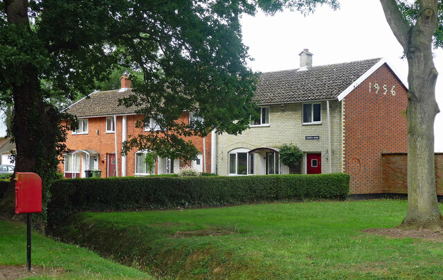
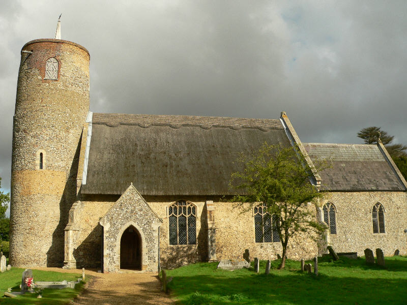
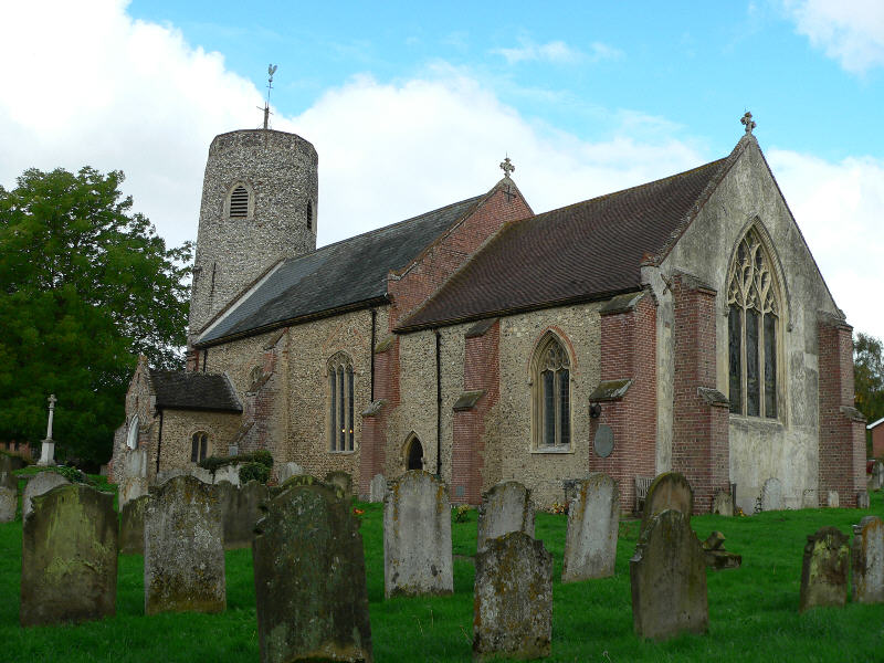
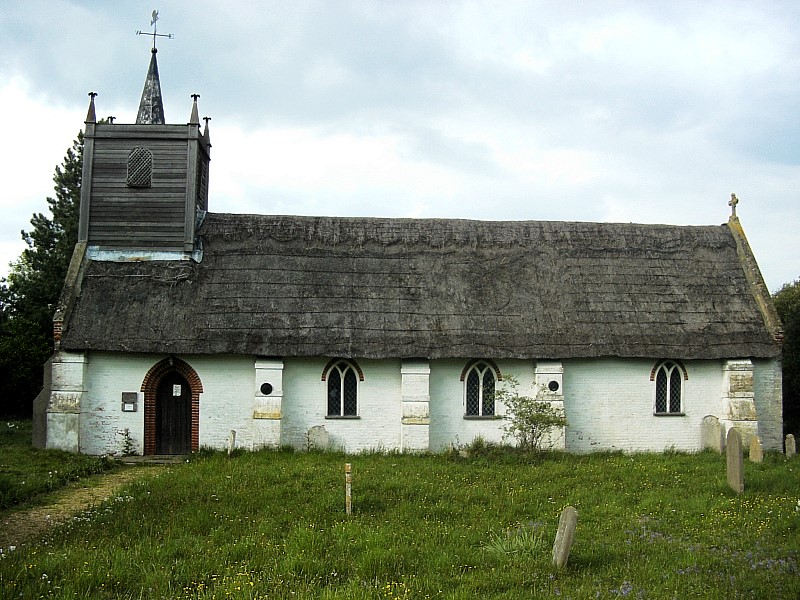
Barras Hill Images
Images are sourced within 2km of 52.544513/1.4176888 or Grid Reference TM3199. Thanks to Geograph Open Source API. All images are credited.


Barras Hill is located at Grid Ref: TM3199 (Lat: 52.544513, Lng: 1.4176888)
Administrative County: Norfolk
District: South Norfolk
Police Authority: Norfolk
What 3 Words
///boom.picturing.repeated. Near Brooke, Norfolk
Nearby Locations
Related Wikis

Bergh Apton Anglo-Saxon cemetery
Bergh Apton Anglo-Saxon cemetery is a late-5th to late-6th century Anglo-Saxon burial site discovered at Bergh Apton, Norfolk. The site was excavated in...

Thurton
Thurton is a village in South Norfolk lying 8½ miles (13½ km) south-east of Norwich on the A146 Norwich to Lowestoft road between Framingham Pigot and...
Seething
Seething is a village and civil parish in the English county of Norfolk. It is around 8+1⁄2 miles (13.7 km) south-east of Norwich and 2+3⁄4 miles (4.4...

Bergh Apton
Bergh Apton is a village and civil parish in the South Norfolk district of Norfolk, England, 7 miles (11 km) south-east of Norwich just south of the A146...

Mundham
Mundham, historically Mundaham or Mundhala, is a small village and civil parish in the county of Norfolk, England. Archaeological and toponymic evidence...
Brooke, Norfolk
Brooke is a village and civil parish in the South Norfolk district of Norfolk, England, about 7 miles south of Norwich and roughly equidistant from Norwich...
Sisland
Sisland, historically Sislanda, is a very small village, manor and parish in the county of Norfolk, England, about a mile west of Loddon. In the 2001 census...
Ashby St Mary
Ashby St Mary, historically Ascebei, is a small village and civil parish in the English county of Norfolk. The civil parish has an area of 2.03 square...
Nearby Amenities
Located within 500m of 52.544513,1.4176888Have you been to Barras Hill?
Leave your review of Barras Hill below (or comments, questions and feedback).