Church Plantation

Wood, Forest in Norfolk South Norfolk

England

Church Plantation

Church of St. Margaret, Kirstead <span class="nowrap"><a title="https://historicengland.org.uk/listing/the-list/list-entry/1372852?section=official-list-entry" rel="nofollow ugc noopener" href="https://historicengland.org.uk/listing/the-list/list-entry/1372852?section=official-list-entry">Link</a><img style="margin-left:2px;" alt="External link" title="External link - shift click to open in new window" src="https://s1.geograph.org.uk/img/external.png" width="10" height="10"/></span>
Church of St. Margaret, Kirstead Credit: Sandy Gerrard

Church Plantation is a quaint and serene neighborhood located in Norfolk, Virginia. Situated amidst lush woodlands and dense forests, this residential area offers its residents a tranquil and idyllic environment to call home.

The neighborhood gets its name from the historical presence of a church that once stood on the plantation grounds. The remnants of this church still exist today and serve as a reminder of the area's rich history. Church Plantation is known for its well-preserved natural beauty, with towering trees and an abundance of wildlife that create a peaceful and picturesque setting.

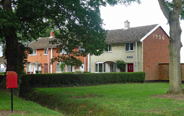
Homes in Church Plantation are predominantly single-family houses, characterized by their traditional architectural styles and spacious lots. The neighborhood boasts a close-knit community, with friendly neighbors who take pride in their well-maintained properties. Many homes are nestled among the trees, providing residents with a sense of privacy and seclusion.

Despite its serene atmosphere, Church Plantation offers convenient access to various amenities and attractions. The neighborhood is just a short drive away from downtown Norfolk, where residents can enjoy a vibrant city life filled with shopping, dining, and entertainment options. Additionally, the neighborhood is in close proximity to several parks and recreational areas, such as the Norfolk Botanical Garden and the Chesapeake Bay, allowing residents to partake in outdoor activities and enjoy the natural beauty of the region.

In summary, Church Plantation is a charming neighborhood in Norfolk, Virginia, known for its peaceful ambiance, natural surroundings, and strong sense of community. It offers residents a serene lifestyle while providing easy access to urban amenities and recreational opportunities.

If you have any feedback on the listing, please let us know in the comments section below.

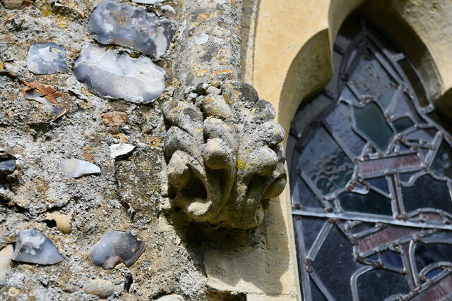
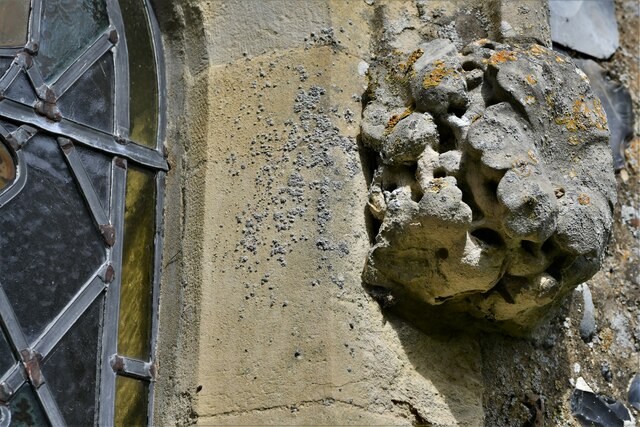
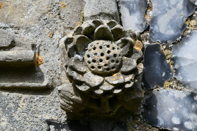
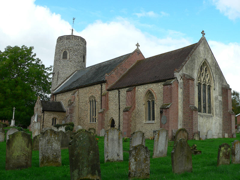
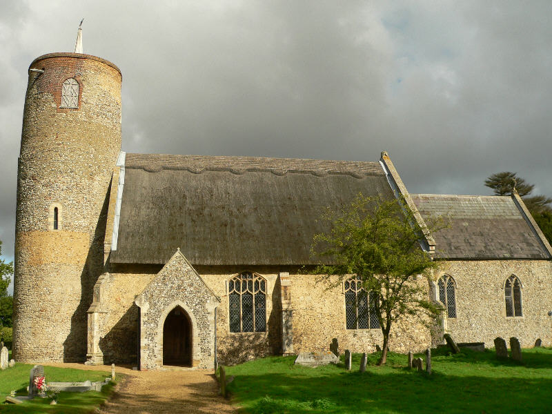
Church Plantation Images

Images are sourced within 2km of 52.546605/1.4062997 or Grid Reference TM3199. Thanks to Geograph Open Source API. All images are credited.

Church of St. Margaret, Kirstead <span class="nowrap"><a title="https://historicengland.org.uk/listing/the-list/list-entry/1372852?section=official-list-entry" rel="nofollow ugc noopener" href="https://historicengland.org.uk/listing/the-list/list-entry/1372852?section=official-list-entry">Link</a><img style="margin-left:2px;" alt="External link" title="External link - shift click to open in new window" src="https://s1.geograph.org.uk/img/external.png" width="10" height="10"/></span>
Church of St. Margaret, Kirstead
Brooke: Small pond opposite St. Margaret's Church
Kirstead, St. Margaret's Church: Eastern aspect
Kirstead, St. Margaret's Church: The tower
Kirstead War Memorial
Kirstead, St. Margaret's Church: Right hand capital of the south doorway
Kirstead, St. Margaret's Church: Left hand capital of the south doorway
Kirstead, St. Margaret's Church: South window
Kirstead, St. Margaret's Church: South window left label stop
Kirstead, St. Margaret's Church: South window right label stop
Kirstead, St. Margaret's Church: South window left label stop
Kirstead, St. Margaret's Church: South window right label stop
Kirstead, St. Margaret's Church: South window left label stop, view 1
Kirstead, St. Margaret's Church: South window left label stop, view 2
Brooke Road approaching Church Lane, Brooke
14-16 Church Road, Bergh Apton One of several distinctive and thoughtful council housing projects by Herbert Tayler & David Green for Loddon District Council. Built 1951-56 - the year of completion is picked out in white brick on the end wall. Grade II listed.
14-16 Church Road, Bergh Apton
One of several distinctive and thoughtful council housing projects by Herbert Tayler & David Green for Loddon District Council. Built 1951-56 - the year of completion is picked out in white brick on the end wall. Grade II listed.
Field off Brooke Road Seething
Show me another place!

Church Plantation is located at Grid Ref: TM3199 (Lat: 52.546605, Lng: 1.4062997)

Administrative County: Norfolk

District: South Norfolk

Police Authority: Norfolk

What 3 Words

///supported.kidney.gallons. Near Brooke, Norfolk

Related Wikis

Bergh Apton Anglo-Saxon cemetery

Bergh Apton Anglo-Saxon cemetery is a late-5th to late-6th century Anglo-Saxon burial site discovered at Bergh Apton, Norfolk. The site was excavated in...

Bergh Apton

Bergh Apton is a village and civil parish in the South Norfolk district of Norfolk, England, 7 miles (11 km) south-east of Norwich just south of the A146...

Brooke, Norfolk

Brooke is a village and civil parish in the South Norfolk district of Norfolk, England, about 7 miles south of Norwich and roughly equidistant from Norwich...

Seething

Seething is a village and civil parish in the English county of Norfolk. It is around 8+1⁄2 miles (13.7 km) south-east of Norwich and 2+3⁄4 miles (4.4...

Nearby Amenities

Located within 500m of 52.546605,1.4062997
church, adj
Naptan AtcoCode: 2900B251
Naptan Bearing: NW
Naptan BusStopType: CUS
Naptan CommonName: church
Naptan Indicator: adj
Naptan Landmark: Church Lane
Naptan Locality: Bergh Apton
Naptan NaptanCode: nfoadwdm
Naptan ShortCommonName: church
Naptan Street: Bussey Bridge
Naptan Verified: no
Source: naptan_import
Lat/Long: 52.5478553/1.4070458
church, opp
Naptan AtcoCode: 2900B254
Naptan Bearing: SE
Naptan BusStopType: CUS
Naptan CommonName: church
Naptan Indicator: opp
Naptan Landmark: Church Lane
Naptan Locality: Bergh Apton
Naptan NaptanCode: nfoadwdw
Naptan ShortCommonName: church
Naptan Street: Bussey Bridge
Naptan Verified: no
Source: naptan_import
Lat/Long: 52.5479014/1.4070876
Power: pole
Lat/Long: 52.5436929/1.4079633
Power: pole
Lat/Long: 52.543219/1.4034062
Power: pole
Lat/Long: 52.5446613/1.4014274
Power: pole
Lat/Long: 52.543283/1.408833
Power: pole
Lat/Long: 52.546069/1.399413
Power: pole
Lat/Long: 52.5439061/1.4024171
Power: pole
Lat/Long: 52.5423777/1.404579
Power: pole
Lat/Long: 52.5428344/1.4055097
Power: pole
Lat/Long: 52.5432249/1.406315
Power: pole
Lat/Long: 52.5437462/1.4079841
Power: pole
Lat/Long: 52.5441405/1.4096175
Power: pole
Lat/Long: 52.5446323/1.4114441
Power: pole
Lat/Long: 52.5449749/1.405896
Power: pole
Lat/Long: 52.5450568/1.4129595
Power: pole
Lat/Long: 52.5450939/1.412985
Power: pole
Lat/Long: 52.5453635/1.4005932
Power: pole
Lat/Long: 52.5456368/1.4048902
Power: pole
Lat/Long: 52.5461925/1.4133511
Power: pole
Lat/Long: 52.5465844/1.4034498
Location Transition: yes
Power: pole
Transformer: distribution
Lat/Long: 52.5469624/1.4135791
Power: pole
Lat/Long: 52.5475957/1.4024493
Power: pole
Lat/Long: 52.5480467/1.4020041
Power: pole
Lat/Long: 52.5490428/1.401001
Give Way
Lat/Long: 52.548571/1.4051978
Give Way
Lat/Long: 52.548688/1.4051382
Entrance: main
Lat/Long: 52.5478143/1.4062936
Church Plantation
Place: locality
Lat/Long: 52.5466676/1.4061373
The data included in this document is from www.openstreetmap.org. The data is made available under ODbL.

Have you been to Church Plantation?

Leave your review of Church Plantation below (or comments, questions and feedback).