Mary-le-bone Hill
Hill, Mountain in Kent Dover
England
Mary-le-bone Hill
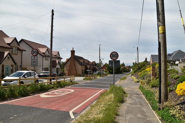
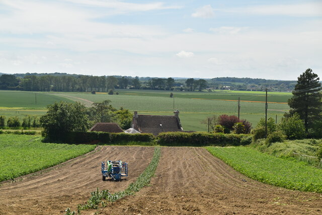
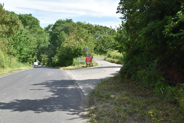
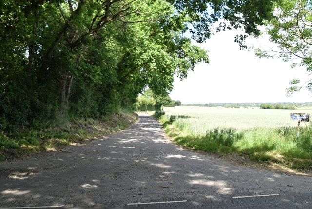
Mary-le-bone Hill, located in the county of Kent, England, is a prominent hill that forms part of the North Downs, a range of chalk hills stretching across southeastern England. The hill is situated near the village of Wrotham, approximately 30 miles southeast of London. Rising to an elevation of around 230 meters (755 feet), Mary-le-bone Hill offers scenic views of the surrounding countryside and is a popular destination for hikers, nature enthusiasts, and those seeking outdoor recreational activities.
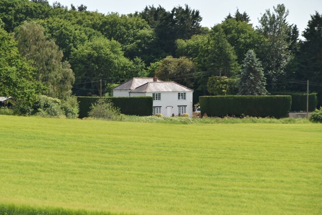
The hill derives its name from a nearby hamlet called Mary-le-bone, which is now known as Mereworth. The name "Mary-le-bone" is believed to have originated from a medieval chapel dedicated to St. Mary that once stood in the area. The hill itself is characterized by its gentle slopes and grassy terrain, with patches of woodland and farmland interspersed throughout.
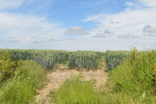
One of the notable features of Mary-le-bone Hill is its geological composition. Comprising primarily of chalk, the hill is part of the same geological formation that extends all the way to the iconic White Cliffs of Dover. This unique composition not only adds to the aesthetic appeal of the hill but also contributes to the diverse flora and fauna found in the area. Visitors to Mary-le-bone Hill can expect to encounter a variety of wildflowers, butterflies, and bird species throughout the year.
Overall, Mary-le-bone Hill in Kent offers visitors a picturesque setting, rich in natural beauty and cultural heritage. Whether one seeks to enjoy a leisurely walk, embark on a challenging hike, or simply revel in the tranquil surroundings, this hill provides an idyllic escape from the bustling city life.
If you have any feedback on the listing, please let us know in the comments section below.
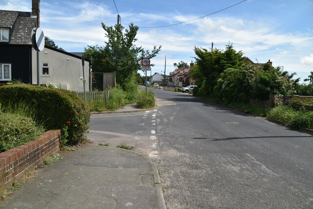
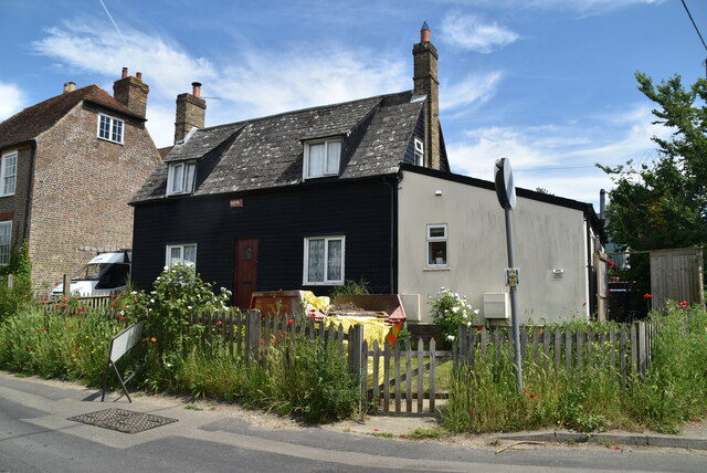
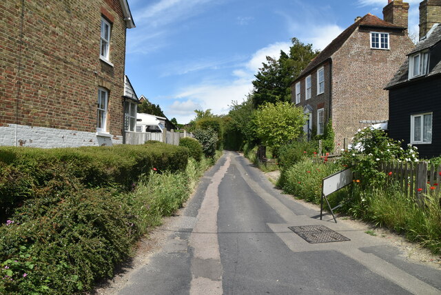
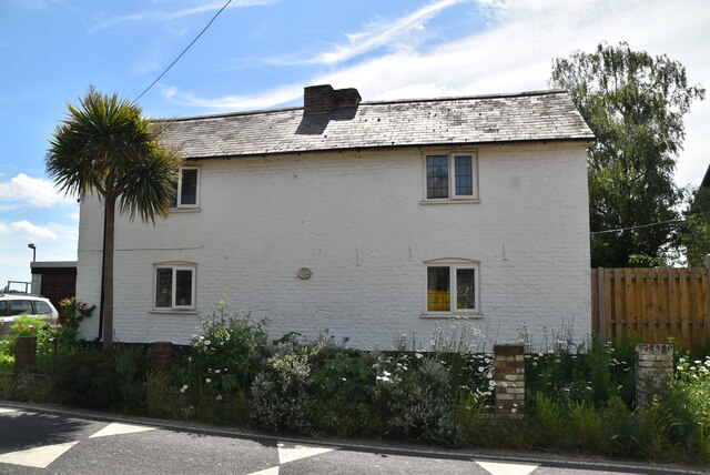
Mary-le-bone Hill Images
Images are sourced within 2km of 51.272552/1.3199596 or Grid Reference TR3157. Thanks to Geograph Open Source API. All images are credited.
![Sandwich features [1] Sandwich Toll Bridge carries Ramsgate Road over the River Stour. The bridge was part of the A256 road, a major route across east Kent and was a major traffic bottleneck, until a bypass opened in 1981. The bridge was constructed of Portland stone in 1755 and has had several central sections - currently an iron swing bridge opened in 1892. Tolls were abolished in 1977. Listed, grade II, with details at: <span class="nowrap"><a title="https://historicengland.org.uk/listing/the-list/list-entry/1343735" rel="nofollow ugc noopener" href="https://historicengland.org.uk/listing/the-list/list-entry/1343735">Link</a><img style="margin-left:2px;" alt="External link" title="External link - shift click to open in new window" src="https://s1.geograph.org.uk/img/external.png" width="10" height="10"/></span>
Sandwich is a historic town in Kent, situated on the River Stour, 11½ miles east of Canterbury and 10½ miles north of Dover. Once a major port, one of the Cinque Ports, the town is now 2 miles inland due to the silting up of the Wantsum Channel. The town has a great many medieval buildings and was once home to a great many Flemish settlers. In Sandwich Bay are two world-class golf courses.](https://s1.geograph.org.uk/geophotos/07/06/20/7062049_8a4979f4.jpg)
![Sandwich buildings [1] The Barbican was part of the town defences, guarding the bridge over the River Stour. Probably with 14th century origins, the building is mostly 16th century. There are two round towers of chequerwork stone and flint on ashlar bases, partly weatherboarded, partly rendered, all under tile roofs. Listed, grade I, with details at: <span class="nowrap"><a title="https://historicengland.org.uk/listing/the-list/list-entry/1069655" rel="nofollow ugc noopener" href="https://historicengland.org.uk/listing/the-list/list-entry/1069655">Link</a><img style="margin-left:2px;" alt="External link" title="External link - shift click to open in new window" src="https://s1.geograph.org.uk/img/external.png" width="10" height="10"/></span>
Sandwich is a historic town in Kent, situated on the River Stour, 11½ miles east of Canterbury and 10½ miles north of Dover. Once a major port, one of the Cinque Ports, the town is now 2 miles inland due to the silting up of the Wantsum Channel. The town has a great many medieval buildings and was once home to a great many Flemish settlers. In Sandwich Bay are two world-class golf courses.](https://s2.geograph.org.uk/geophotos/07/06/20/7062050_34fabdca.jpg)
![Sandwich buildings [2] On the corner of High Street and Strand Street, the Crispin Inn is a 16th century building altered in the 18th century. Timber framed, jettied to both streets, roughcast ground floor, plastered first floor, all under a tile roof. Originally the Crispin and Crispianus. Listed, grade II, with details at: <span class="nowrap"><a title="https://historicengland.org.uk/listing/the-list/list-entry/1343736" rel="nofollow ugc noopener" href="https://historicengland.org.uk/listing/the-list/list-entry/1343736">Link</a><img style="margin-left:2px;" alt="External link" title="External link - shift click to open in new window" src="https://s1.geograph.org.uk/img/external.png" width="10" height="10"/></span>
Sandwich is a historic town in Kent, situated on the River Stour, 11½ miles east of Canterbury and 10½ miles north of Dover. Once a major port, one of the Cinque Ports, the town is now 2 miles inland due to the silting up of the Wantsum Channel. The town has a great many medieval buildings and was once home to a great many Flemish settlers. In Sandwich Bay are two world-class golf courses.](https://s3.geograph.org.uk/geophotos/07/06/20/7062051_4a8700e0.jpg)
![Sandwich buildings [3] On the corner of High Street and Strand Street, the Admiral Owen public house is a 15th century building, refronted in the 18th century. Timber framed, stuccoed infill, jettied to both streets with a massive corner post, all under a tile roof. Listed, grade II*, with details at: <span class="nowrap"><a title="https://historicengland.org.uk/listing/the-list/list-entry/1069656" rel="nofollow ugc noopener" href="https://historicengland.org.uk/listing/the-list/list-entry/1069656">Link</a><img style="margin-left:2px;" alt="External link" title="External link - shift click to open in new window" src="https://s1.geograph.org.uk/img/external.png" width="10" height="10"/></span>
Sandwich is a historic town in Kent, situated on the River Stour, 11½ miles east of Canterbury and 10½ miles north of Dover. Once a major port, one of the Cinque Ports, the town is now 2 miles inland due to the silting up of the Wantsum Channel. The town has a great many medieval buildings and was once home to a great many Flemish settlers. In Sandwich Bay are two world-class golf courses.](https://s1.geograph.org.uk/geophotos/07/06/20/7062053_559982d5.jpg)
![Sandwich buildings [4] On a large site with fronts to The Quay, High Street and Upper Strand Street, the Bell Hotel is mostly late 19th century with one early 19th century wing. The fronts to The Quay, seen here, and High Street are of 3 floors of red brick with a tile hung upper floor, tile roofs except for slate on the early wing. Listed, grade II, with details at: <span class="nowrap"><a title="https://historicengland.org.uk/listing/the-list/list-entry/1069666" rel="nofollow ugc noopener" href="https://historicengland.org.uk/listing/the-list/list-entry/1069666">Link</a><img style="margin-left:2px;" alt="External link" title="External link - shift click to open in new window" src="https://s1.geograph.org.uk/img/external.png" width="10" height="10"/></span>
Sandwich is a historic town in Kent, situated on the River Stour, 11½ miles east of Canterbury and 10½ miles north of Dover. Once a major port, one of the Cinque Ports, the town is now 2 miles inland due to the silting up of the Wantsum Channel. The town has a great many medieval buildings and was once home to a great many Flemish settlers. In Sandwich Bay are two world-class golf courses.](https://s3.geograph.org.uk/geophotos/07/06/20/7062055_6e5b181b.jpg)
![Sandwich buildings [5] This former warehouse was converted into flats in the mid 1980s. Built in the mid 19th century of yellow brick with red brick arches. Listed, grade II, with details at: <span class="nowrap"><a title="https://historicengland.org.uk/listing/the-list/list-entry/1069600" rel="nofollow ugc noopener" href="https://historicengland.org.uk/listing/the-list/list-entry/1069600">Link</a><img style="margin-left:2px;" alt="External link" title="External link - shift click to open in new window" src="https://s1.geograph.org.uk/img/external.png" width="10" height="10"/></span>
Sandwich is a historic town in Kent, situated on the River Stour, 11½ miles east of Canterbury and 10½ miles north of Dover. Once a major port, one of the Cinque Ports, the town is now 2 miles inland due to the silting up of the Wantsum Channel. The town has a great many medieval buildings and was once home to a great many Flemish settlers. In Sandwich Bay are two world-class golf courses.](https://s0.geograph.org.uk/geophotos/07/06/20/7062056_3805f68d.jpg)
Mary-le-bone Hill is located at Grid Ref: TR3157 (Lat: 51.272552, Lng: 1.3199596)
Administrative County: Kent
District: Dover
Police Authority: Kent
What 3 Words
///candidate.gadgets.arts. Near Sandwich, Kent
Nearby Locations
Related Wikis

Roman Road railway station (Kent)
Roman Road railway station was a railway station on the East Kent Light Railway. It opened in May 1925 and closed to passenger traffic on 1 November 1928...
Sandwich Road railway station
Sandwich Road railway station was a railway station on the East Kent Light Railway. It opened in May 1925 and closed to passenger traffic on 1 November...
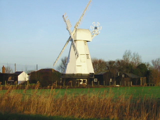
White Mill, Sandwich
White Mill is a smock mill west of Sandwich, Kent, England that was built in 1760. The mill has been restored and is open to the public as part of the...

Woodnesborough
Woodnesborough ( WINZ-brə) is a village in the Dover District of Kent, England, 2 miles (3.2 km) west of Sandwich. The population taken at the 2011 census...
Nearby Amenities
Located within 500m of 51.272552,1.3199596Have you been to Mary-le-bone Hill?
Leave your review of Mary-le-bone Hill below (or comments, questions and feedback).