Stow Hill
Hill, Mountain in Norfolk North Norfolk
England
Stow Hill

Stow Hill is a small hill located in Norfolk, England. It is situated in the market town of Swaffham, approximately 20 miles west of Norwich. Despite its modest height, Stow Hill offers panoramic views of the surrounding countryside and is a popular destination for locals and tourists alike.
The elevation of Stow Hill is approximately 76 meters (249 feet), making it more of a hill than a mountain. It is predominantly covered in grass, with scattered trees and shrubs dotting the landscape. On a clear day, visitors can enjoy breathtaking views of the Norfolk landscape, including vast fields, farmland, and small villages in the distance.
The hill itself is easily accessible by foot, with pathways leading to the top. It is a great spot for outdoor activities such as hiking and picnicking. The peaceful and serene environment of Stow Hill makes it an ideal place for nature lovers to explore and connect with the natural beauty of Norfolk.
Stow Hill also holds historical significance, as it is believed to have been the site of an ancient settlement. Archaeological excavations have uncovered artifacts and evidence of human activity dating back to the Iron Age, adding to the hill's allure for history enthusiasts.
Overall, Stow Hill is a charming and picturesque location in Norfolk, offering stunning views, recreational opportunities, and a glimpse into the region's rich history.
If you have any feedback on the listing, please let us know in the comments section below.
Stow Hill Images
Images are sourced within 2km of 52.869038/1.4392126 or Grid Reference TG3135. Thanks to Geograph Open Source API. All images are credited.


Stow Hill is located at Grid Ref: TG3135 (Lat: 52.869038, Lng: 1.4392126)
Administrative County: Norfolk
District: North Norfolk
Police Authority: Norfolk
What 3 Words
///trailing.fended.reprints. Near Mundesley, Norfolk
Nearby Locations
Related Wikis
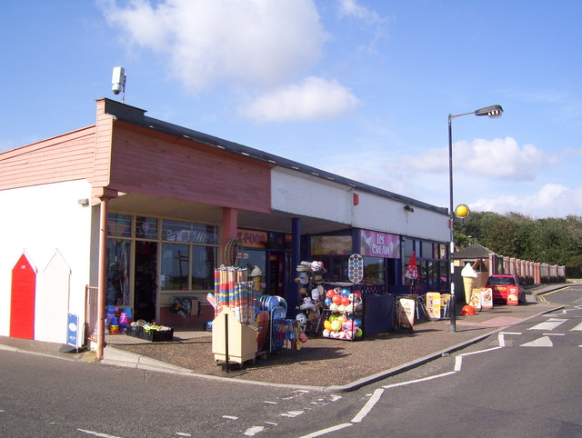
Mundesley
Mundesley /ˈmʌn.dzli/ is a coastal village and a civil parish in the English county of Norfolk. The village is 20.3 miles (32.7 km) north-north east of...

Mundesley Volunteer Inshore Lifeboat
Mundesley Volunteer Inshore Lifeboat is a voluntary run lifeboat station located in the village of Mundesley in the English county of Norfolk. The station...
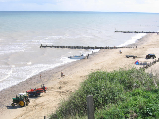
Mundesley Cliffs
Mundesley Cliffs is a 29.3-hectare (72-acre) geological Site of Special Scientific Interest north-east of North Walsham in Norfolk. It is a Geological...

River Mun
The River Mun or Mundesley Beck is a river in the north of the county of Norfolk, England. Its source is in the parish of Northrepps. The river finally...
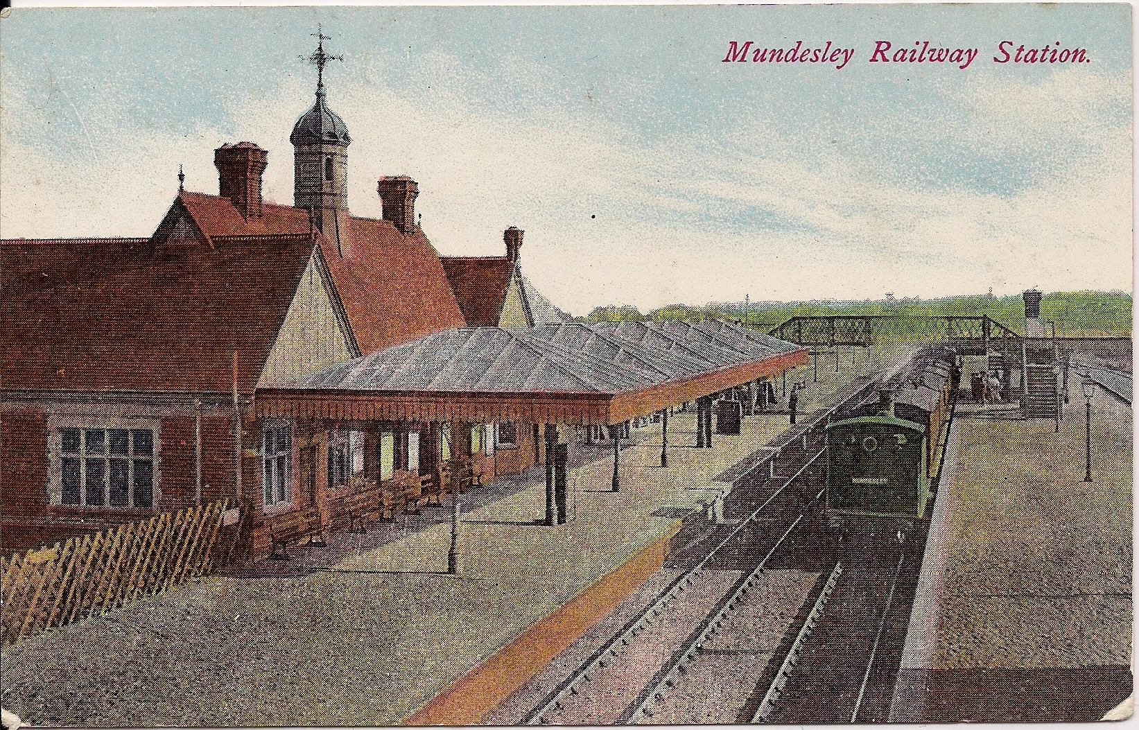
Mundesley-on-Sea railway station
Mundesley railway station was a former station on the Norfolk and Suffolk Joint Railway in Mundesley, Norfolk. It opened on 1 July 1898.The station was...

Paston, Norfolk
Paston is a village and civil parish in the English county of Norfolk. The village is 4 miles (6.4 km) north-east of North Walsham and 9.1 miles (14.6...
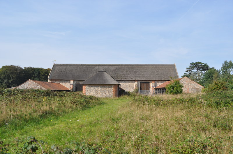
Paston Great Barn
Paston Great Barn is a medieval barn near Paston Hall on the southeast edge of the village of Paston in northeast Norfolk, owned by the North Norfolk...

Bacton Gas Terminal
The Bacton Gas Terminal is a complex of six gas terminals within four sites located on the North Sea coast of North Norfolk in the United Kingdom. The...
Nearby Amenities
Located within 500m of 52.869038,1.4392126Have you been to Stow Hill?
Leave your review of Stow Hill below (or comments, questions and feedback).