Woodnesborough

Settlement in Kent Dover

England

Woodnesborough

Flemings Water Supply Works, Fleming Road Planning permission has been granted by Dover District Council under application number DOV/21/01544 for the “change of use of land and erection of an ion exchange building, chemical dosing, changeover and wash-water kiosks, alterations to site access, bunds and associated plant and equipment”.
Flemings Water Supply Works, Fleming Road Credit: John Baker

Woodnesborough is a small village located in the county of Kent, England. Situated approximately 5 miles south-west of the historic town of Sandwich, it falls within the administrative district of Dover. The village is nestled amidst picturesque countryside, boasting beautiful views of the surrounding farmland.

Woodnesborough has a rich history, with evidence of human habitation dating back to the Neolithic period. The village is mentioned in the Domesday Book of 1086, highlighting its long-standing significance. The architecture of Woodnesborough reflects its heritage, with a mix of traditional thatched cottages, quaint farmhouses, and more modern dwellings.

Despite its small size, Woodnesborough offers a range of amenities to its residents. The village has a primary school, providing education for local children, as well as a village hall that serves as a community hub for various social activities. There is also a parish church, St. Mary the Virgin, which dates back to the 12th century and stands as a testament to the village's religious heritage.

Woodnesborough is well-connected to neighboring towns and cities. The A256 road runs through the village, providing convenient access to Sandwich, Dover, and beyond. Additionally, the nearby train stations of Sandwich and Deal offer regular services to London and other major destinations.

The village enjoys a peaceful and close-knit community spirit, with residents taking pride in their rural surroundings. Woodnesborough offers a serene and idyllic lifestyle, making it an attractive place to live for those seeking a quieter pace of life within easy reach of urban amenities.

If you have any feedback on the listing, please let us know in the comments section below.

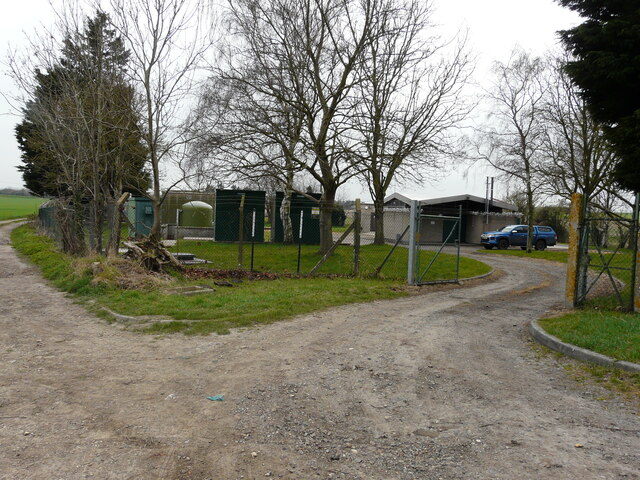
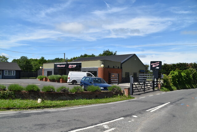
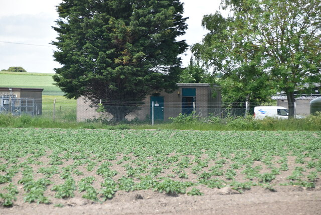
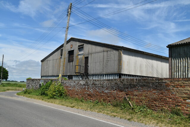
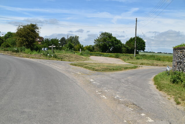
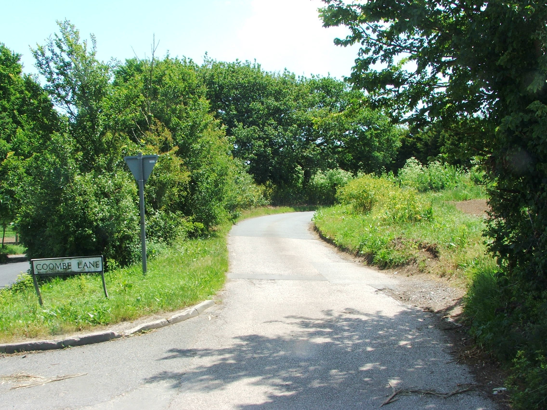
Woodnesborough Images

Images are sourced within 2km of 51.265637/1.311066 or Grid Reference TR3157. Thanks to Geograph Open Source API. All images are credited.

Flemings Water Supply Works, Fleming Road Planning permission has been granted by Dover District Council under application number DOV/21/01544 for the “change of use of land and erection of an ion exchange building, chemical dosing, changeover and wash-water kiosks, alterations to site access, bunds and associated plant and equipment”.
Flemings Water Supply Works, Fleming Road
Planning permission has been granted by Dover District Council under application number DOV/21/01544 for the “change of use of land and erection of an ion exchange building, chemical dosing, changeover and wash-water kiosks, alterations to site access, bunds and associated plant and equipment”.
Birnham, Hammill Road Planning permission has been approved by Dover District Council under application number DOV/22/00670 for the ”conversion of existing garage to habitable room, erection of play equipment, installation of a covered swimming pool, conversion of detached outbuilding to ancillary spa and alterations to existing elevations”.
Birnham, Hammill Road
Planning permission has been approved by Dover District Council under application number DOV/22/00670 for the ”conversion of existing garage to habitable room, erection of play equipment, installation of a covered swimming pool, conversion of detached outbuilding to ancillary spa and alterations to existing elevations”.
Drainless Rd
Drainless Rd
Crossroads, Drainless Rd
Roadsign
Roadsign
Beacon Lane
Beacon Lane
Hammill Rd
Hammill Rd
Woodash Garage
Woodash Garage
Forge Cottage
Forge Cottage
Drainless Rd
Drainless Rd
Farmland
Farmland
Pumping Station
Pumping Station
Ringlemere Oast Twin square kiln oast house.
Ringlemere Oast
Twin square kiln oast house.
Ringlemere Oast Twin square kiln oast house.
Ringlemere Oast
Twin square kiln oast house.
Ringlemere Farm
Ringlemere Farm
Barn, Ringlemere Farm
Ringlemere Lane
Ringlemere Lane
Show me another place!

Woodnesborough is located at Grid Ref: TR3157 (Lat: 51.265637, Lng: 1.311066)

Administrative County: Kent

District: Dover

Police Authority: Kent

What 3 Words

///civil.correctly.tried. Near Sandwich, Kent

Related Wikis

Woodnesborough

Woodnesborough ( WINZ-brə) is a village in the Dover District of Kent, England, 2 miles (3.2 km) west of Sandwich. The population taken at the 2011 census...

Roman Road railway station (Kent)

Roman Road railway station was a railway station on the East Kent Light Railway. It opened in May 1925 and closed to passenger traffic on 1 November 1928...

Eastry Rural District

Eastry Rural District was a rural district in the county of Kent, England, from 1894 to 1974. It was subject to a significant boundary reform in 1935 when...

Marshborough

Marshborough is a small hamlet immediately adjacent to Woodnesborough in East Kent, England. == Listed buildings == === Parsonage Farm === The farmhouse...

RAF Ash

Royal Air Force Ash or more simply RAF Ash (formerly RAF Sandwich) was a Royal Air Force underground control centre and radar station situated near the...

Rare Species Conservation Centre

The Rare Species Conservation Centre (RSCC) was a conservation centre and zoological gardens situated just outside Sandwich in Kent, England, operated...

Poison Cross railway station

Poison Cross railway station was a railway station on the East Kent Light Railway. It opened in May 1925 and closed to passenger traffic on 1 November...

Coombe, Kent

Coombe is a settlement in the English county of Kent. It lies between Ash-next-Sandwich and Woodnesborough. According to Edward Hasted in 1800, it was...

Nearby Amenities

Located within 500m of 51.265637,1.311066
Woodnesborough
Is In: Kent, England, UK
Is In County: Kent
Is In District: Dover
Place: village
Population: 1030
Source: NPE maps
Wikidata: Q3192739
Lat/Long: 51.2658479/1.3053454
Bus Stop
Oak House
Bus: yes
Naptan AtcoCode: 240096880
Naptan Bearing: E
Naptan CommonName: Oak House
Naptan Indicator: adj
Naptan NaptanCode: kntgjtmw
Naptan PlusbusZoneRef: DEAL
Naptan Street: Oak Hill
Naptan Verified: no
Public Transport: platform
Source: naptan_import
Lat/Long: 51.2644442/1.3069302
Bus Stop
Turners Inn
Bench: no
Bin: no
Bus: yes
Naptan AtcoCode: 240096882
Naptan Bearing: SW
Naptan CommonName: Turners Inn
Naptan Indicator: adj
Naptan Landmark: Turners Inn
Naptan NaptanCode: kntgmdwp
Naptan PlusbusZoneRef: DEAL
Naptan Street: The Street
Naptan Verified: no
Public Transport: platform
Shelter: no
Source: naptan_import
Lat/Long: 51.2660119/1.3125631
Bus Stop
Turners Inn
Bench: yes
Bin: no
Bus: yes
Naptan AtcoCode: 240096884
Naptan Bearing: NE
Naptan CommonName: Turners Inn
Naptan Indicator: opp
Naptan Landmark: Turners Inn
Naptan NaptanCode: kntgmdwj
Naptan PlusbusZoneRef: DEAL
Naptan Street: The Street
Naptan Verified: no
Public Transport: platform
Shelter: yes
Source: naptan_import
Lat/Long: 51.2660378/1.3116473
Bus Stop
Palm Tree Crossroads
Alt Name: Lasletts
Flag: no
Naptan AltCommonName: Lasletts
Naptan AltStreet: Not Specified
Naptan AtcoCode: 240096886
Naptan Bearing: NW
Naptan BusStopType: CUS
Naptan CommonName: Palm Tree Crossroads
Naptan Indicator: NW-bound
Naptan Landmark: Crossroads
Naptan NaptanCode: kntgmgdp
Naptan PlusbusZoneRef: DEAL
Naptan Street: Marshborough Road
Naptan Verified: no
Public Transport: platform
Source: naptan_import
Lat/Long: 51.2645904/1.3055786
Bus Stop
Palm Tree Crossroads
Alt Name: Lasletts
Flag: no
Naptan AltCommonName: Lasletts
Naptan AltStreet: Not Specified
Naptan AtcoCode: 240096888
Naptan Bearing: SE
Naptan BusStopType: CUS
Naptan CommonName: Palm Tree Crossroads
Naptan Indicator: SE-bound
Naptan Landmark: Lasletts
Naptan NaptanCode: kntgmdwg
Naptan PlusbusZoneRef: DEAL
Naptan Street: Marshborough Road
Naptan Verified: no
Public Transport: platform
Source: naptan_import
Lat/Long: 51.2644575/1.3061425
Bus Stop
Foxborough Close
Bus: yes
Naptan AtcoCode: 2400A033610A
Naptan Bearing: S
Naptan CommonName: Foxborough Close
Naptan Indicator: opp
Naptan Landmark: St Mary's Church
Naptan NaptanCode: kntdjwpt
Naptan PlusbusZoneRef: DEAL
Naptan Street: Foxborough Hill
Naptan Verified: no
Public Transport: platform
Source: naptan_import
Lat/Long: 51.262626/1.3069716
Bus Stop
Foxborough Close
Bench: yes
Bin: yes
Bus: yes
Naptan AtcoCode: 2400A033620A
Naptan Bearing: N
Naptan CommonName: Foxborough Close
Naptan Indicator: adj
Naptan Landmark: St Mary's Church
Naptan NaptanCode: kntdjwpw
Naptan PlusbusZoneRef: DEAL
Naptan Street: Foxborough Hill
Naptan Verified: no
Public Transport: platform
Shelter: yes
Source: naptan_import
Tactile Paving: no
Lat/Long: 51.2624684/1.3068169
Post Box
Brand: Royal Mail
Brand Wikidata: Q638098
Collection Times: Mo-Fr 09:00; Sa 07:00
Mapillary: 1200978350416179
Operator: Royal Mail
Operator Wikidata: Q638098
Post Box Mounting: wooden_post
Post Box Type: lamp
Postal Code: CT13
Ref: CT13 89
Royal Cypher: EIIR
Royal Cypher Wikidata: Q33102113
Source: survey
Survey Date: 2020-07-30
Lat/Long: 51.2630854/1.3067766
Post Box
Mapillary: 913142186080924
Post Box Mounting: pier
Post Box Type: lamp
Ref: CT13 115
Survey Date: 2021-06-19
Lat/Long: 51.2660128/1.3115882
Power: pole
Lat/Long: 51.2680827/1.3117584
Power: pole
Lat/Long: 51.2691735/1.3113132
Power: pole
Lat/Long: 51.2700596/1.3106802
Power: pole
Lat/Long: 51.2672453/1.312091
Power: pole
Lat/Long: 51.2664615/1.3064316
Power: pole
Lat/Long: 51.26745/1.3098541
Power: pole
Lat/Long: 51.2669268/1.3080375
Power: pole
Lat/Long: 51.2658372/1.3042536
Power: pole
Lat/Long: 51.2660873/1.3051307
Power: pole
Lat/Long: 51.262976/1.3056584
Barrier: motorcycle_barrier
Foot: yes
Source: survey
Lat/Long: 51.2654244/1.310191
Barrier: motorcycle_barrier
Foot: yes
Source: survey
Lat/Long: 51.2657518/1.3097307
Generator Output Electricity: yes
Generator Source: solar
Generator Type: solar_photovoltaic_panel
Location: roof
Power: generator
Lat/Long: 51.2668601/1.312425
Generator Output Electricity: yes
Generator Source: solar
Generator Type: solar_photovoltaic_panel
Location: roof
Power: generator
Lat/Long: 51.266641/1.3125041
Generator Output Electricity: yes
Generator Source: solar
Generator Type: solar_photovoltaic_panel
Location: roof
Power: generator
Lat/Long: 51.2640296/1.3056886
Generator Output Electricity: yes
Generator Source: solar
Generator Type: solar_photovoltaic_panel
Location: roof
Power: generator
Lat/Long: 51.2642/1.3054338
The data included in this document is from www.openstreetmap.org. The data is made available under ODbL.

Have you been to Woodnesborough?

Leave your review of Woodnesborough below (or comments, questions and feedback).