Broom Hill
Hill, Mountain in Suffolk East Suffolk
England
Broom Hill
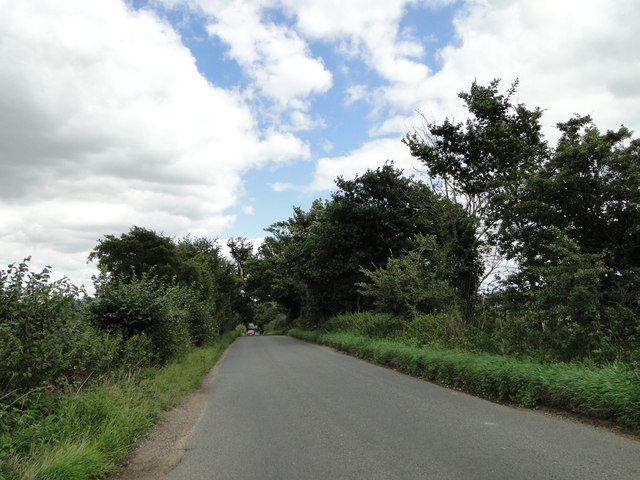
Broom Hill is a small hill located in the county of Suffolk, England. Situated in the eastern part of the country, Suffolk is known for its picturesque landscapes and charming rural towns. Broom Hill, although not particularly high, is a prominent feature of this region.
The hill is covered in lush green vegetation, with a variety of trees and plants dotting its slopes. It offers stunning panoramic views of the surrounding countryside, including vast fields and meadows, as well as distant villages and towns. Due to its relatively low elevation, it is accessible to hikers of all levels of experience and fitness.
Broom Hill is a popular destination for outdoor enthusiasts and nature lovers. Its tranquil environment and peaceful atmosphere make it an ideal spot for relaxation and contemplation. The hill is also a haven for wildlife, with numerous species of birds, insects, and small mammals making their home in the area.
At the top of Broom Hill, there is a small picnic area where visitors can enjoy a packed lunch while taking in the breathtaking vistas. On clear days, it is even possible to see as far as the coastline, adding to the hill's allure.
Overall, Broom Hill is a charming natural landmark in Suffolk, offering visitors the opportunity to connect with nature and enjoy the beauty of the English countryside.
If you have any feedback on the listing, please let us know in the comments section below.
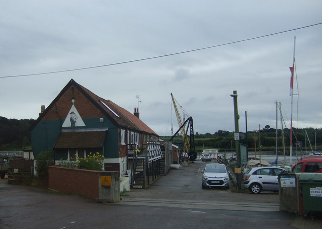
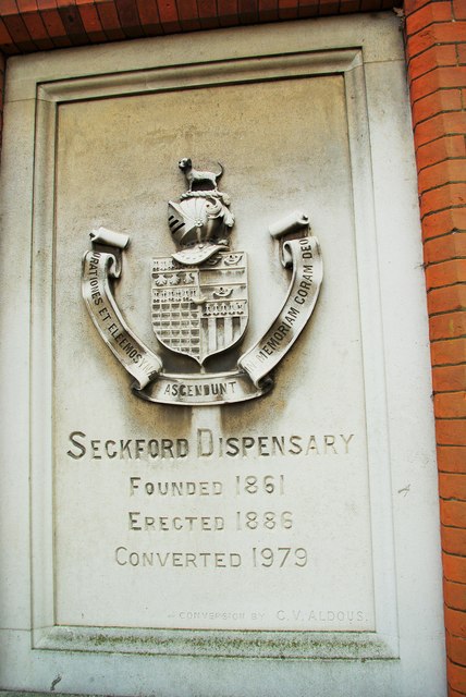
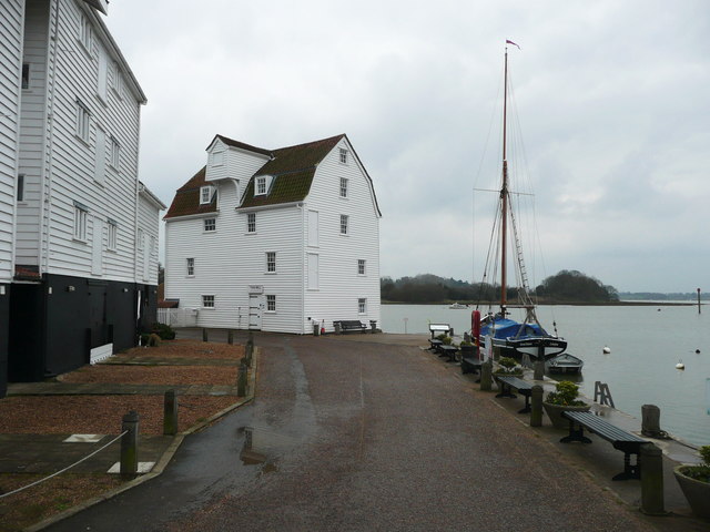
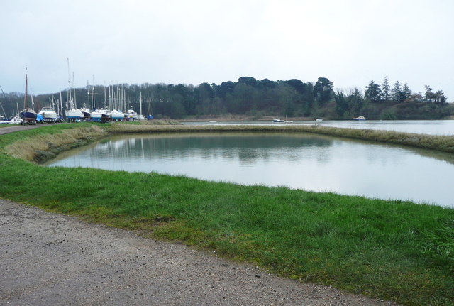
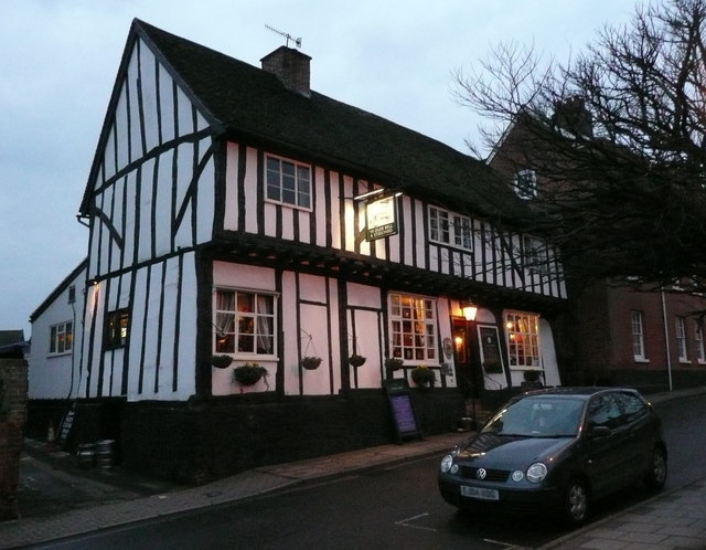
Broom Hill Images
Images are sourced within 2km of 52.083795/1.3034812 or Grid Reference TM2647. Thanks to Geograph Open Source API. All images are credited.


Broom Hill is located at Grid Ref: TM2647 (Lat: 52.083795, Lng: 1.3034812)
Administrative County: Suffolk
District: East Suffolk
Police Authority: Suffolk
What 3 Words
///ramble.bond.lightbulb. Near Woodbridge, Suffolk
Nearby Locations
Related Wikis

Woodbridge Town F.C.
Woodbridge Town Football Club is a football club based in Woodbridge, Suffolk, England. They are currently members of the Eastern Counties League Premier...

River Fynn
The River Fynn is a waterway in Suffolk which joins the River Deben. Its source is at Witnesham and it joins the Deben at Woodbridge. == References ==

Seckford Hospital
Seckford Hospital is a grade II* listed former almshouse in Seckford Street, Woodbridge, Suffolk, England. It is of red brick with yellow brick dressings...
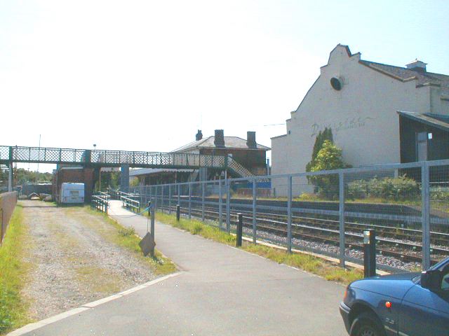
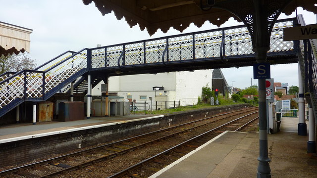
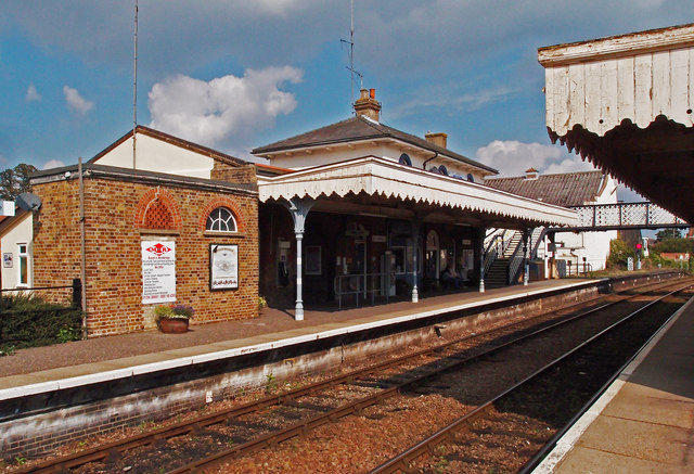
Woodbridge railway station
Woodbridge railway station is on the East Suffolk Line in the east of England, serving the town of Woodbridge, Suffolk. It is 10 miles 19 chains (16.5...
Nearby Amenities
Located within 500m of 52.083795,1.3034812Have you been to Broom Hill?
Leave your review of Broom Hill below (or comments, questions and feedback).