Beacon Hill
Hill, Mountain in Essex Tendring
England
Beacon Hill

Beacon Hill is a prominent hill located in the county of Essex, England. Standing at an elevation of 271 feet (83 meters), it is considered one of the highest points in the region. The hill is situated near the village of Great Burstead, approximately 2 miles (3 kilometers) south of Billericay.
As its name suggests, Beacon Hill was historically used as a beacon site, providing a vantage point for signaling important messages or warnings across the surrounding area. This practice dates back to ancient times, when beacons were crucial for communication and defense.
Today, Beacon Hill is a popular destination for outdoor enthusiasts and nature lovers. The hill is covered in lush vegetation, including woodland areas and open grasslands. It offers stunning panoramic views of the surrounding countryside, making it a favored spot for walkers, hikers, and photographers.
A network of well-maintained footpaths and trails crisscrosses the hill, allowing visitors to explore its natural beauty while enjoying a peaceful and tranquil atmosphere. The area is home to a diverse range of flora and fauna, including wildflowers, birds, and small mammals.
Additionally, Beacon Hill is part of a larger nature reserve known as the Essex Wildlife Trust. This designation helps to protect and preserve the hill's unique ecosystem and biodiversity.
In summary, Beacon Hill in Essex is a picturesque and historically significant hill, offering visitors the opportunity to connect with nature, enjoy breathtaking views, and immerse themselves in the area's rich cultural heritage.
If you have any feedback on the listing, please let us know in the comments section below.
Beacon Hill Images
Images are sourced within 2km of 51.937524/1.2895881 or Grid Reference TM2631. Thanks to Geograph Open Source API. All images are credited.


Beacon Hill is located at Grid Ref: TM2631 (Lat: 51.937524, Lng: 1.2895881)
Administrative County: Essex
District: Tendring
Police Authority: Essex
What 3 Words
///squeezed.refusals.fever. Near Harwich, Essex
Nearby Locations
Related Wikis
Beacon Hill Battery
Beacon Hill Battery (also known as Beacon Hill Fort) is a late-19th and 20th century coastal fortification that was built to defend the port of Harwich...

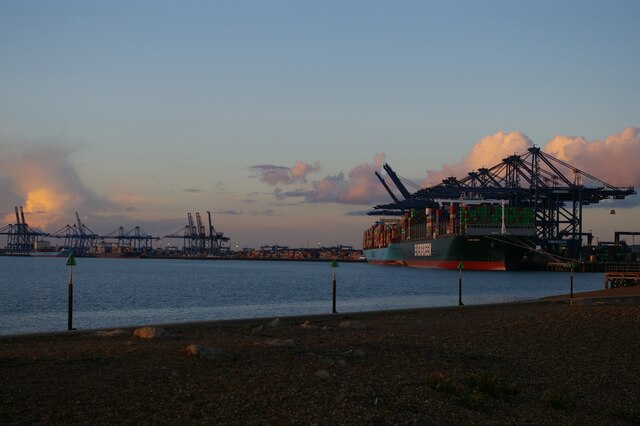
Harwich Foreshore
Harwich Foreshore is a 10.6-hectare (26-acre) geological Site of Special Scientific Interest in Harwich in Essex. It is a Geological Conservation Review...

Harwich Redoubt
Harwich Redoubt is a circular fort built in 1808 to defend the port of Harwich, Essex from Napoleonic invasion. The Harwich Society opens it to the public...
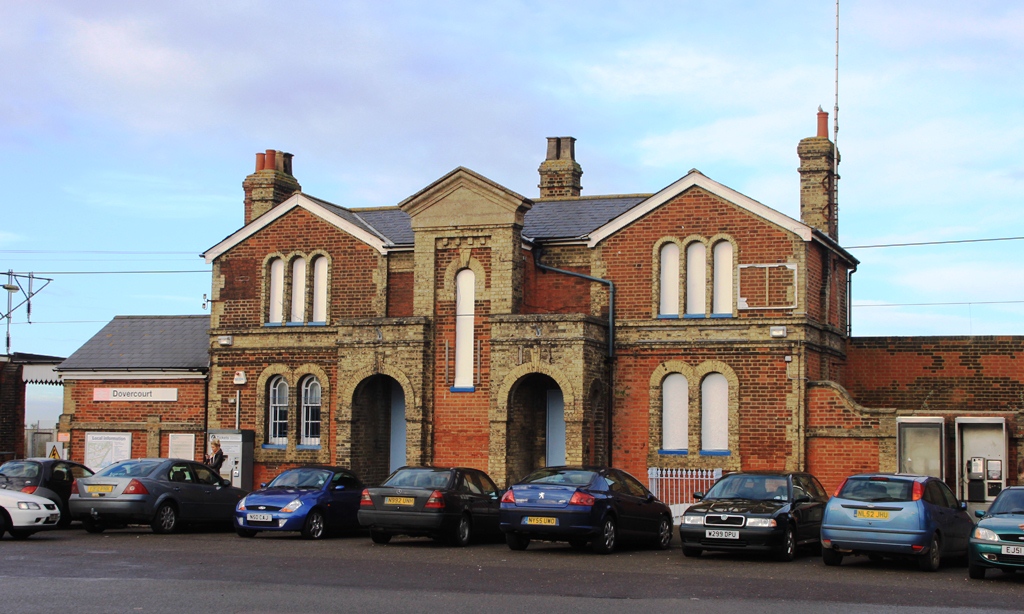
Dovercourt railway station
Dovercourt railway station is on the Mayflower Line, a branch of the Great Eastern Main Line, in the East of England, serving the seaside town of Dovercourt...
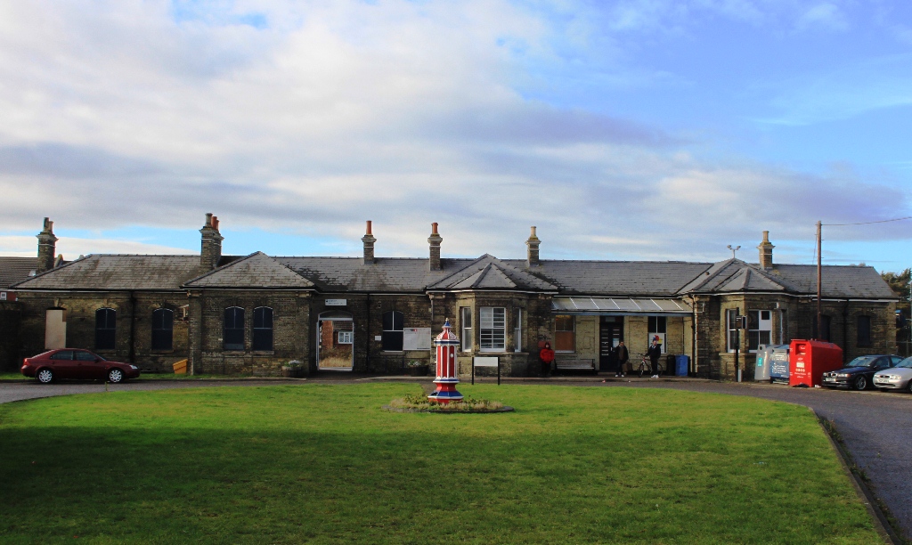
Harwich Town railway station
Harwich Town railway station is the eastern terminus of the Mayflower Line, a branch of the Great Eastern Main Line, in the East of England, serving the...

Harwich Mayflower Heritage Centre
The Harwich Mayflower Heritage Centre (formerly Project) is a museum and charitable community project whose main goal is to establish a "legacy for Essex...

Harwich Dockyard
Harwich Dockyard (also known as The King's Yard, Harwich) was a Royal Navy Dockyard at Harwich in Essex, active in the 17th and early 18th century (after...
Bath Side Battery
Bath Side Battery was built in 1811 to cover the anchorage of the port of Harwich, Essex, England as part of the same complex as the Redoubt, armed with...
Nearby Amenities
Located within 500m of 51.937524,1.2895881Have you been to Beacon Hill?
Leave your review of Beacon Hill below (or comments, questions and feedback).