Beacon Cliff
Cliff, Slope in Essex Tendring
England
Beacon Cliff

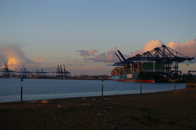
Beacon Cliff is a prominent coastal feature located in Essex, England. It is a picturesque cliff situated along the eastern coastline, overlooking the North Sea. The cliff is known for its impressive height and steep slope, making it a popular destination for hikers, nature enthusiasts, and tourists alike.
Rising approximately 30 meters above sea level, Beacon Cliff offers breathtaking panoramic views of the surrounding area. Its geological composition consists of layers of sedimentary rock, which have been gradually eroded by the relentless action of the sea over centuries. This erosion has resulted in the creation of a rugged and dramatic landscape, with jagged edges and deep crevices.
The cliff is named after the historic Beacon Tower that once stood proudly upon its peak. This tower, dating back to the 16th century, served as a navigational aid for ships and a warning signal during times of conflict. Unfortunately, the tower no longer stands, but its remnants can still be seen near the edge of the cliff.
Beacon Cliff is also known for its diverse wildlife and rich ecosystem. The area surrounding the cliff is home to a variety of seabirds, such as gulls, cormorants, and fulmars, which nest and thrive in the cliffs' crevices. The cliff also supports a range of plant species, including hardy grasses and wildflowers that cling to its slopes.
Visitors to Beacon Cliff can enjoy various activities, including hiking along the cliff's edge, birdwatching, and taking in the breathtaking coastal views. The cliff offers a tranquil and awe-inspiring experience, combining natural beauty, history, and the power of the sea.
If you have any feedback on the listing, please let us know in the comments section below.
Beacon Cliff Images
Images are sourced within 2km of 51.937865/1.289613 or Grid Reference TM2631. Thanks to Geograph Open Source API. All images are credited.


Beacon Cliff is located at Grid Ref: TM2631 (Lat: 51.937865, Lng: 1.289613)
Administrative County: Essex
District: Tendring
Police Authority: Essex
What 3 Words
///defaults.desire.closets. Near Harwich, Essex
Nearby Locations
Related Wikis
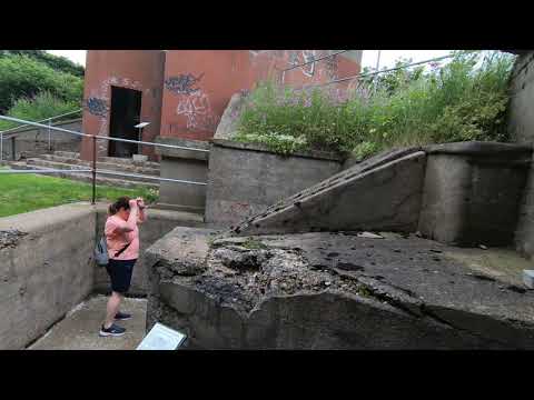
Beacon Hill Battery
Beacon Hill Battery (also known as Beacon Hill Fort) is a late-19th and 20th century coastal fortification that was built to defend the port of Harwich...

Harwich Foreshore
Harwich Foreshore is a 10.6-hectare (26-acre) geological Site of Special Scientific Interest in Harwich in Essex. It is a Geological Conservation Review...

Harwich Redoubt
Harwich Redoubt is a circular fort built in 1808 to defend the port of Harwich, Essex from Napoleonic invasion. The Harwich Society opens it to the public...
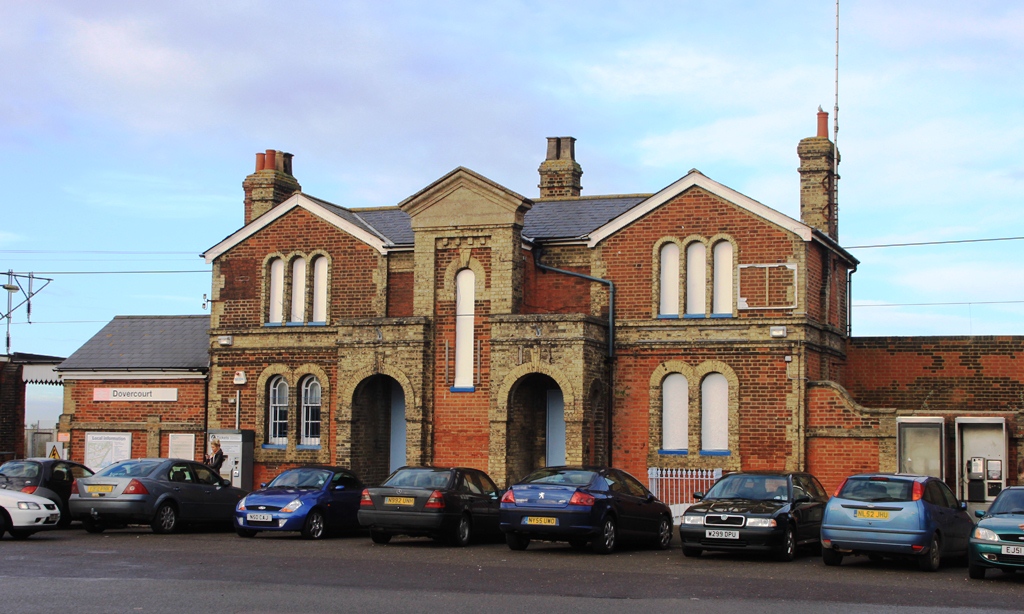
Dovercourt railway station
Dovercourt railway station is on the Mayflower Line, a branch of the Great Eastern Main Line, in the East of England, serving the seaside town of Dovercourt...
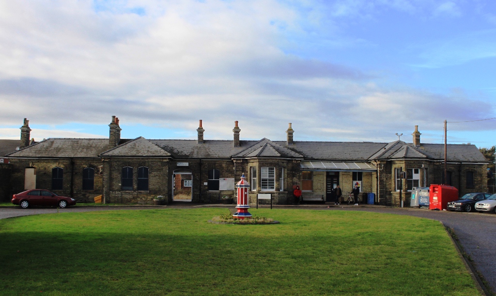
Harwich Town railway station
Harwich Town railway station is the eastern terminus of the Mayflower Line, a branch of the Great Eastern Main Line, in the East of England, serving the...

Harwich Mayflower Heritage Centre
The Harwich Mayflower Heritage Centre (formerly Project) is a museum and charitable community project whose main goal is to establish a "legacy for Essex...

Harwich Dockyard
Harwich Dockyard (also known as The King's Yard, Harwich) was a Royal Navy Dockyard at Harwich in Essex, active in the 17th and early 18th century (after...
Bath Side Battery
Bath Side Battery was built in 1811 to cover the anchorage of the port of Harwich, Essex, England as part of the same complex as the Redoubt, armed with...
Related Videos

Caravan Holiday at Dovercourt Holiday Park | Park Holidays
3 night family holiday at Dovercourt Holiday Park in Harwich, Essex. Park Holidays resort. What to do at Dovercourt? 1.

Dovercourt Holiday Park | CARAVAN HOLIDAY PARK
Dovercourt is a small seaside town in the Tendring district, in the county of Essex, England. It is older than its smaller but ...
Harwich, Beacon Hill Fort, June 2021
Historic Beacon Hill Fort, located in Harwich, Essex.

Back to the Eighties show at Dovercourt Holiday Park, Essex
Park Stars Aimee, Cathy, Dan, Hannah and Nathan feature in the summer 2021 'Back to the Eighties' show at Dovercourt Holiday ...
Nearby Amenities
Located within 500m of 51.937865,1.289613Have you been to Beacon Cliff?
Leave your review of Beacon Cliff below (or comments, questions and feedback).