Broom Hill
Settlement in Suffolk East Suffolk
England
Broom Hill

Broom Hill is a small village located in the county of Suffolk, England. Situated approximately 8 miles south of the town of Ipswich, it is nestled within the rural landscape of the Suffolk countryside. The village is part of the civil parish of Nettlestead, and falls within the Mid Suffolk district.
Broom Hill is known for its picturesque setting, with rolling green hills and charming countryside views. The village is predominantly residential, consisting of a mix of traditional cottages and modern houses. The surrounding area is rich in agricultural land, with fields of crops and grazing livestock dotting the landscape.
Although small in size, Broom Hill offers a close-knit community atmosphere. The village has a local pub, providing a hub for socializing and community events. There are also several footpaths and walking trails in the vicinity, allowing residents and visitors to explore the natural beauty of the area.
For amenities and services, residents typically rely on nearby towns and villages, such as Needham Market or Ipswich. These larger centers offer a wider range of shops, supermarkets, schools, and healthcare facilities.
Broom Hill offers a tranquil and idyllic lifestyle, appealing to those seeking a peaceful retreat away from the hustle and bustle of larger towns and cities. Its rural charm and close community spirit make it an attractive place to live for individuals and families alike.
If you have any feedback on the listing, please let us know in the comments section below.
Broom Hill Images
Images are sourced within 2km of 52.075213/1.2964975 or Grid Reference TM2647. Thanks to Geograph Open Source API. All images are credited.


Broom Hill is located at Grid Ref: TM2647 (Lat: 52.075213, Lng: 1.2964975)
Administrative County: Suffolk
District: East Suffolk
Police Authority: Suffolk
What 3 Words
///innocence.hobbit.straw. Near Woodbridge, Suffolk
Nearby Locations
Related Wikis

River Fynn
The River Fynn is a waterway in Suffolk which joins the River Deben. Its source is at Witnesham and it joins the Deben at Woodbridge. == References ==
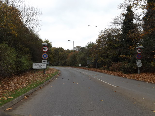
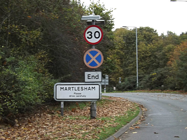
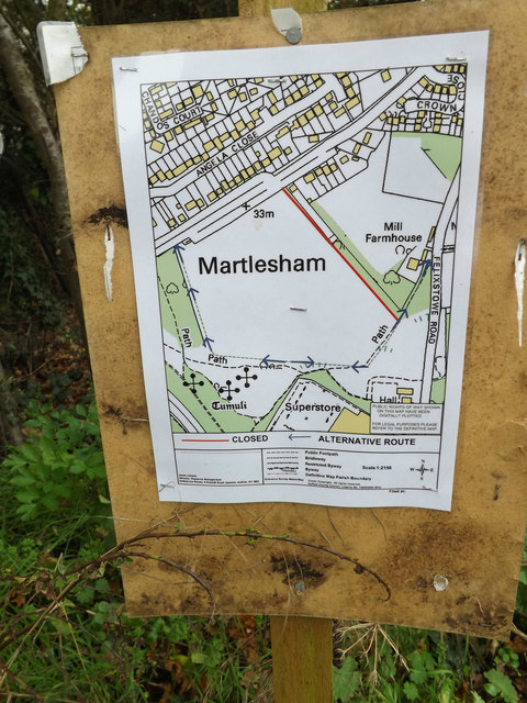
Martlesham
Martlesham is a village in Suffolk, England about two miles (3 km) South-West of Woodbridge and 6 miles (9.7 km) East of Ipswich. It is often referred...

Woodbridge Town F.C.
Woodbridge Town Football Club is a football club based in Woodbridge, Suffolk, England. They are currently members of the Eastern Counties League Premier...

Woodbridge Rural District
Woodbridge Rural District was a rural district within the administrative county of East Suffolk between 1894 and 1934. It was created out of the earlier...
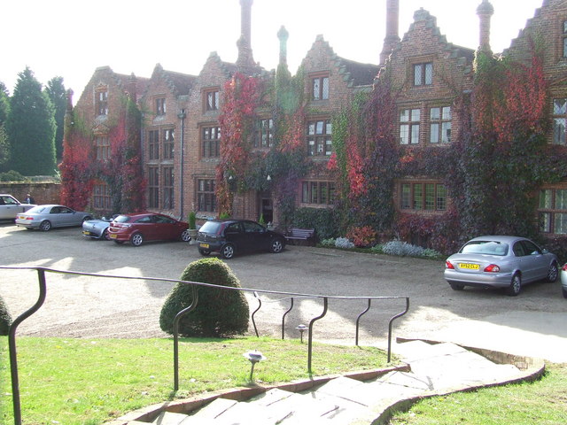
Seckford Hall
Seckford Hall is a Tudor period house in Seckford Hall Road, Great Bealings, near Woodbridge, Suffolk. The hall is now a hotel. The hall was constructed...
Centre for Integrated Photonics
The Centre for Integrated Photonics (CIP) was a research and development centre for photonic devices. It was based in Phoenix House at Adastral Park in...

Adastral Park
Adastral Park is a science campus based on part of the old Royal Air Force Station at Martlesham Heath, near Ipswich in the English county of Suffolk....
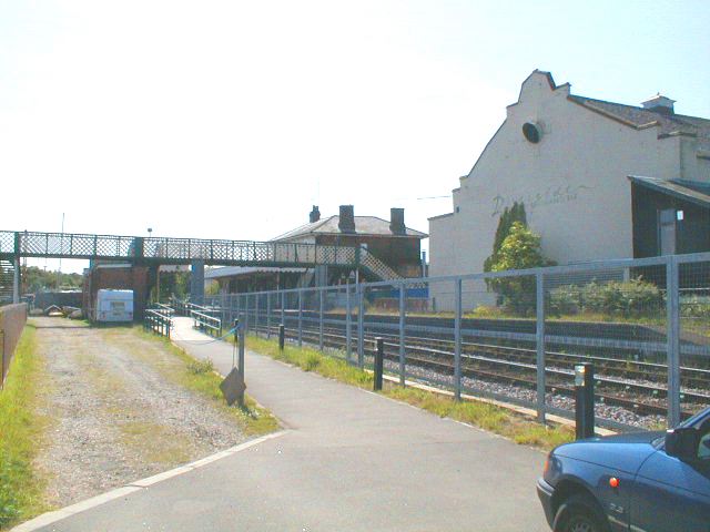
Woodbridge railway station
Woodbridge railway station is on the East Suffolk Line in the east of England, serving the town of Woodbridge, Suffolk. It is 10 miles 19 chains (16.5...
Nearby Amenities
Located within 500m of 52.075213,1.2964975Have you been to Broom Hill?
Leave your review of Broom Hill below (or comments, questions and feedback).