Broom Hill

Hill, Mountain in Kent Dover

England

Broom Hill

Little Wenderton Farm, near Wingham On  Wenderton Lane, north of the village of Wingham.
Little Wenderton Farm, near Wingham Credit: pam fray

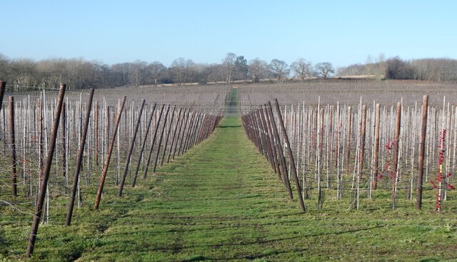
Broom Hill, located in the county of Kent in southeastern England, is a small hill that forms part of the North Downs, a range of chalk hills stretching across the region. Standing at an elevation of approximately 200 meters (656 feet), it offers stunning views of the surrounding countryside.

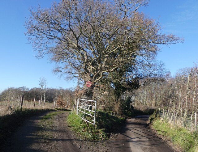
The hill is covered in dense woodland, mainly consisting of beech and oak trees, which adds to its picturesque beauty. Broom Hill is home to a variety of plant and animal species, including bluebells, foxes, and deer, making it a popular spot for nature enthusiasts and hikers.

At the summit of Broom Hill, there is a trig point, a concrete pillar used in surveying, which provides a marker for hillwalkers. This, combined with its relatively easy accessibility, makes it a favorite destination for locals and visitors alike.

The area around Broom Hill has a rich history, with evidence of human habitation dating back to the Iron Age. There are also remnants of ancient woodlands and earthworks nearby, offering a glimpse into the area's past.

In addition to its natural beauty and historical significance, Broom Hill is a peaceful and tranquil place, making it perfect for those seeking a break from the hustle and bustle of everyday life. Whether you're looking to enjoy a leisurely walk, observe wildlife, or simply take in the breathtaking views, Broom Hill is a must-visit destination in Kent.

If you have any feedback on the listing, please let us know in the comments section below.

Broom Hill Images

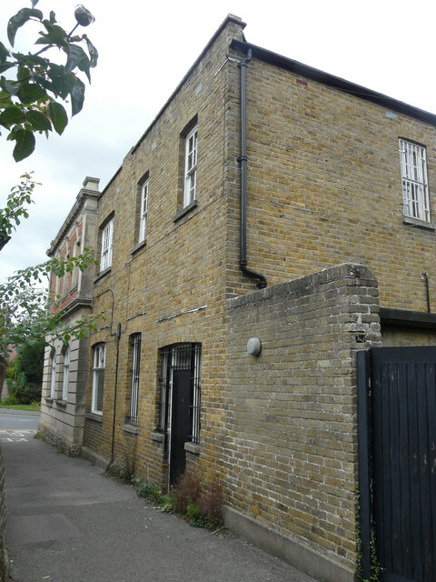
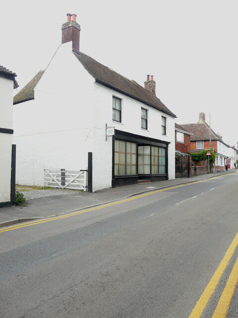
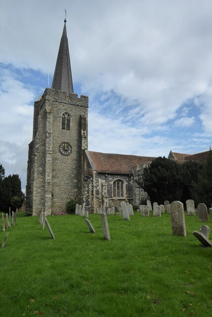
Images are sourced within 2km of 51.27921/1.2207914 or Grid Reference TR2458. Thanks to Geograph Open Source API. All images are credited.

Little Wenderton Farm, near Wingham On  Wenderton Lane, north of the village of Wingham.
Little Wenderton Farm, near Wingham
On Wenderton Lane, north of the village of Wingham.
Orchard, Wenderton Farm, near Wingham Viewed from Wenderton Lane.
Orchard, Wenderton Farm, near Wingham
Viewed from Wenderton Lane.
Orchard, Wenderton Farm, near Wingham Viewed from Wenderton Lane.
Orchard, Wenderton Farm, near Wingham
Viewed from Wenderton Lane.
Oast house, north of Wingham On the corner of Wenderton Lane and Hearts Delight Lane.
Oast house, north of Wingham
On the corner of Wenderton Lane and Hearts Delight Lane.
Wenderton Lane, north of Wingham Next to Wenderton Hoath.
Wenderton Lane, north of Wingham
Next to Wenderton Hoath.
Copperfields, Canterbury Road The house was built in a <a href="https://www.geograph.org.uk/photo/6524473">TR2357 : Field, Canterbury Road</a>.
Copperfields, Canterbury Road
The house was built in a TR2357 : Field, Canterbury Road.
Wingham Wildlife Park Chilean flamingos.
Wingham Wildlife Park
Chilean flamingos.
Wingham Wildlife Park White stork.
Wingham Wildlife Park
White stork.
Wingham Wildlife Park One of the Rothchild's giraffes, the only species with five ossicones.
Wingham Wildlife Park
One of the Rothchild's giraffes, the only species with five ossicones.
Wingham Wildlife Park Aldabra giant tortoise.
Wingham Wildlife Park
Aldabra giant tortoise.
Wingham Wildlife Park Rainbow Lorikeet, native to Australia, in the Tropical House.
Wingham Wildlife Park
Rainbow Lorikeet, native to Australia, in the Tropical House.
Wingham Wildlife Park A pair of rainbow lorikeets at feeding time. Native to Australia, these are in the Tropical House.
Wingham Wildlife Park
A pair of rainbow lorikeets at feeding time. Native to Australia, these are in the Tropical House.
Wingham Wildlife Park One of many ring-tailed lemurs in the park. Native to Madagascar, they are endangered but plentiful in captivity.
Wingham Wildlife Park
One of many ring-tailed lemurs in the park. Native to Madagascar, they are endangered but plentiful in captivity.
Wingham Wildlife Park One of many ring-tailed lemurs in the park. Native to Madagascar, they are endangered but plentiful in captivity.
Wingham Wildlife Park
One of many ring-tailed lemurs in the park. Native to Madagascar, they are endangered but plentiful in captivity.
Lloyds Bank Plc, High Street Planning permission has been approved by Dover District Council under application number DOV/21/01938for a “change of use and conversion to 4 self-contained flats, insertion of 3 roof lights, 3 extraction fans, cycle stores, alterations to windows/doors, replacement access gates, erection of 1.8m high fence and gate (existing single storey rear extension to be demolished)”.

The rear of the bank is located in <a href="https://www.geograph.org.uk/photo/7305987">TR2457 : Harris’s Alley</a>.
Lloyds Bank Plc, High Street
Planning permission has been approved by Dover District Council under application number DOV/21/01938for a “change of use and conversion to 4 self-contained flats, insertion of 3 roof lights, 3 extraction fans, cycle stores, alterations to windows/doors, replacement access gates, erection of 1.8m high fence and gate (existing single storey rear extension to be demolished)”. The rear of the bank is located in TR2457 : Harris’s Alley.
Harris’s Alley The view shows the back of <a href="https://www.geograph.org.uk/photo/7305976">TR2457 : Lloyds Bank Plc, High Street</a>, where the gate and the single storey extension are to be removed/demolished.
Harris’s Alley
The view shows the back of TR2457 : Lloyds Bank Plc, High Street, where the gate and the single storey extension are to be removed/demolished.
Chez Lucky, 30, Adisham  Road The premises appear to be permanently closed.
Chez Lucky, 30, Adisham Road
The premises appear to be permanently closed.
St Mary's Church, Wingham St Mary's church, Wingham is Grade I listed, see: <span class="nowrap"><a title="https://historicengland.org.uk/listing/the-list/list-entry/1070091?section=official-list-entry" rel="nofollow ugc noopener" href="https://historicengland.org.uk/listing/the-list/list-entry/1070091?section=official-list-entry">Link</a><img style="margin-left:2px;" alt="External link" title="External link - shift click to open in new window" src="https://s1.geograph.org.uk/img/external.png" width="10" height="10"/></span>
St Mary's Church, Wingham
St Mary's church, Wingham is Grade I listed, see: LinkExternal link
Show me another place!

Broom Hill is located at Grid Ref: TR2458 (Lat: 51.27921, Lng: 1.2207914)

Administrative County: Kent

District: Dover

Police Authority: Kent

What 3 Words

///unloading.passport.courts. Near Wingham, Kent

Related Wikis

Wingham Wildlife Park

Wingham Wildlife Park is a medium-sized wildlife park situated near Wingham in Kent, UK where it covers an area of 26 acres (13 acres of animal housing...

Wingham, Kent

Wingham is a village and civil parish in the Dover District of Kent, England. The village lies along the ancient coastal road, now the A257, from Richborough...

St Mary's Church, Wingham

St Mary's Church, Wingham, is an Anglican parish church in Wingham, Kent. It is recorded in the National Heritage List for England as a designated Grade...

Wingham Town railway station

Wingham Town railway station was a railway station on the East Kent Light Railway, which served the village of Wingham. It opened in 1920 and closed to...

Nearby Amenities

Located within 500m of 51.27921,1.2207914
Bus Stop
Preston Hill
Flag: no
Naptan AtcoCode: 240097614
Naptan Bearing: SW
Naptan BusStopType: CUS
Naptan CommonName: Preston Hill
Naptan Indicator: SW-bound
Naptan Landmark: Wenderton Lane
Naptan NaptanCode: kntgpmjw
Naptan Street: Preston Hill
Naptan Verified: no
Public Transport: platform
Source: naptan_import
Lat/Long: 51.2791558/1.2187489
Bus Stop
Preston Hill
Flag: no
Naptan AtcoCode: 240097616
Naptan Bearing: NE
Naptan BusStopType: CUS
Naptan CommonName: Preston Hill
Naptan Indicator: NE-bound
Naptan Landmark: Wenderton Lane
Naptan NaptanCode: kntgpmjt
Naptan Street: Preston Hill
Naptan Verified: no
Public Transport: platform
Source: naptan_import
Lat/Long: 51.2793221/1.2185885
Bus Stop
Old Oast
Flag: no
Naptan AtcoCode: 240097618
Naptan Bearing: SW
Naptan BusStopType: CUS
Naptan CommonName: Old Oast
Naptan Indicator: adj
Naptan Landmark: Oast Houses
Naptan NaptanCode: kntgpmjp
Naptan Street: Preston Road
Naptan Verified: no
Public Transport: platform
Source: naptan_import
Lat/Long: 51.2817376/1.2213536
Bus Stop
Old Oast
Flag: no
Naptan AtcoCode: 240097620
Naptan Bearing: NE
Naptan BusStopType: CUS
Naptan CommonName: Old Oast
Naptan Indicator: opp
Naptan Landmark: Oast Houses
Naptan NaptanCode: kntgpmjm
Naptan Street: Preston Road
Naptan Verified: no
Public Transport: platform
Source: naptan_import
Lat/Long: 51.2818848/1.2212348
Bus Stop
The Paddock
Bench: yes
Bin: no
Bus: yes
Naptan AtcoCode: 2400A033740A
Naptan Bearing: S
Naptan CommonName: The Paddock
Naptan Indicator: opp
Naptan Landmark: The Paddock
Naptan NaptanCode: kntdmadp
Naptan Street: High Street
Naptan Verified: no
Public Transport: platform
Shelter: yes
Source: naptan_import
Lat/Long: 51.2759289/1.216372
Bus Stop
The Paddock
Bench: yes
Bin: no
Bus: yes
Naptan AtcoCode: 2400A033770A
Naptan Bearing: N
Naptan CommonName: The Paddock
Naptan Indicator: adj
Naptan Landmark: The Paddock
Naptan NaptanCode: kntdmaga
Naptan Street: High Street
Naptan Verified: no
Public Transport: platform
Shelter: yes
Source: naptan_import
Lat/Long: 51.2761757/1.2162315
Power: pole
Lat/Long: 51.2799326/1.2276418
Power: pole
Lat/Long: 51.2797007/1.2213097
Power: pole
Lat/Long: 51.2794776/1.2200491
Power: pole
Lat/Long: 51.2800853/1.2234791
Power: pole
Lat/Long: 51.279332/1.2192169
Power: pole
Lat/Long: 51.279988/1.2262281
Power: pole
Lat/Long: 51.2800417/1.2248524
Power: pole
Lat/Long: 51.2795665/1.21745
Power: pole
Lat/Long: 51.2793538/1.2184766
Power: pole
Lat/Long: 51.2802866/1.2183613
Power: pole
Lat/Long: 51.2798504/1.2221273
Generator Method: photovoltaic
Generator Output Electricity: yes
Generator Source: solar
Generator Type: solar_photovoltaic_panel
Location: roof
Power: generator
Lat/Long: 51.2797513/1.2186979
Generator Method: photovoltaic
Generator Output Electricity: yes
Generator Solar Modules: 8
Generator Source: solar
Generator Type: solar_photovoltaic_panel
Location: surface
Power: generator
Lat/Long: 51.2769343/1.2176853
Generator Method: photovoltaic
Generator Output Electricity: yes
Generator Source: solar
Generator Type: solar_photovoltaic_panel
Location: roof
Power: generator
Lat/Long: 51.2781524/1.2168901
Post Box
Collection Plate: CP7D
Collection Times: Mo-Fr 09:00; Sa 07:00
Mapillary: 320852699695834
Note: This postbox is easy to miss. it is low down in the wall of the property "Broomfield" opposite entrance to the gravelly car park.
Old Ref: CT3 142
Operator: Royal Mail
Operator Wikidata: Q638098
Post Box Mounting: brick_wall
Post Box Type: wall
Postal Code: CT3
Ref: CT3 142D
Royal Cypher: EIIR
Royal Cypher Wikidata: Q33102113
Source: survey
Survey Date: 2023-03-06
Lat/Long: 51.2788197/1.2183116
The data included in this document is from www.openstreetmap.org. The data is made available under ODbL.

Have you been to Broom Hill?

Leave your review of Broom Hill below (or comments, questions and feedback).