Windy Ridge, Wingham
Heritage Site in Kent Dover
England
Windy Ridge, Wingham
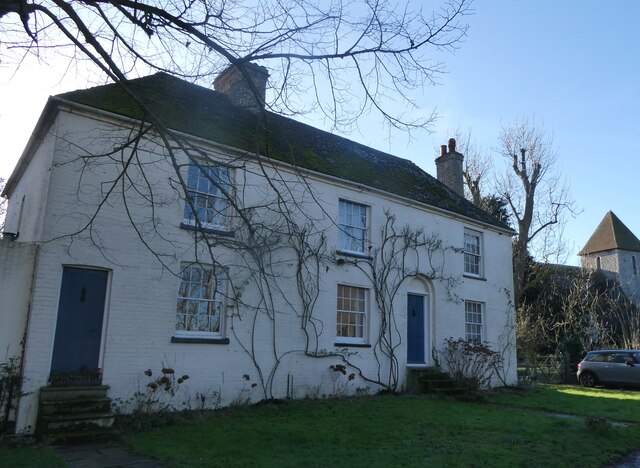
Windy Ridge is a historic heritage site located in the scenic village of Wingham, Kent, England. Situated on a gentle slope overlooking the lush countryside, this captivating site offers visitors a glimpse into the rich cultural and architectural history of the region.
The main attraction of Windy Ridge is its charming 18th-century Georgian house. This stunning building, with its elegant facade and well-preserved original features, is a testament to the grandeur of the era. The house is surrounded by meticulously landscaped gardens, which further enhance its beauty.
Windy Ridge also boasts a notable collection of period furniture and artwork, providing visitors with an immersive experience of life in the Georgian era. The house offers guided tours, allowing visitors to explore its various rooms and learn about the history and significance of each space.
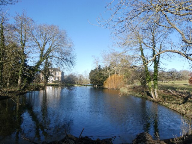
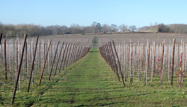
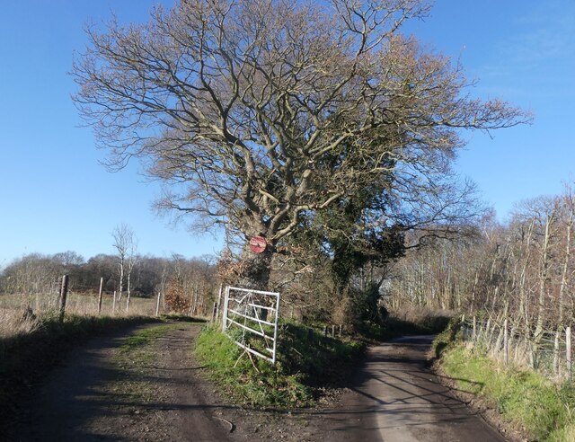
In addition to the house, Windy Ridge offers access to picturesque walking trails that wind through the surrounding countryside. These trails provide an opportunity to enjoy the natural beauty of the area and take in breathtaking views of the Kentish landscape.
The site also features a quaint tearoom, where visitors can indulge in traditional British refreshments. The tearoom offers a selection of freshly baked goods and a variety of teas, creating a perfect spot to relax and soak up the tranquil ambiance of Windy Ridge.
Overall, Windy Ridge is a captivating heritage site that offers a unique combination of architectural splendor, natural beauty, and cultural significance. Whether exploring the historic house, strolling through the gardens, or enjoying a cup of tea, visitors are sure to be enchanted by the charm and elegance of this remarkable site.
If you have any feedback on the listing, please let us know in the comments section below.
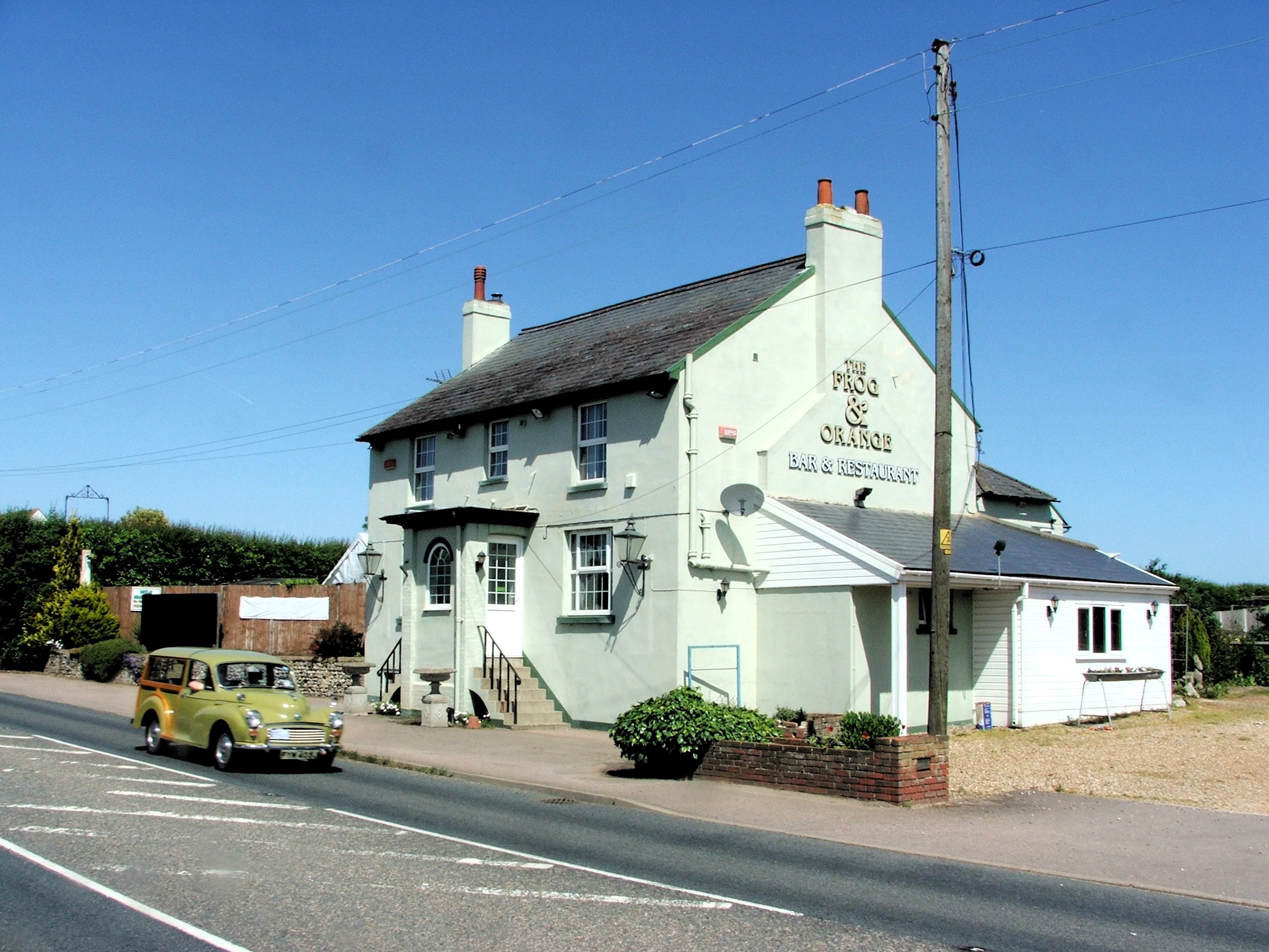
Windy Ridge, Wingham Images
Images are sourced within 2km of 51.283/1.224 or Grid Reference TR2458. Thanks to Geograph Open Source API. All images are credited.


Windy Ridge, Wingham is located at Grid Ref: TR2458 (Lat: 51.283, Lng: 1.224)
Administrative County: Kent
District: Dover
Police Authority: Kent
What 3 Words
///gestures.remains.absorb. Near Wingham, Kent
Nearby Locations
Related Wikis

Wingham Wildlife Park
Wingham Wildlife Park is a medium-sized wildlife park situated near Wingham in Kent, UK where it covers an area of 26 acres (13 acres of animal housing...
Shatterling
Shatterling is a scattered hamlet located along the A257 road about two miles (3.2 km) east of Wingham in the Dover district of Kent, England. The population...

Wingham, Kent
Wingham is a village and civil parish in the Dover District of Kent, England. The village lies along the ancient coastal road, now the A257, from Richborough...

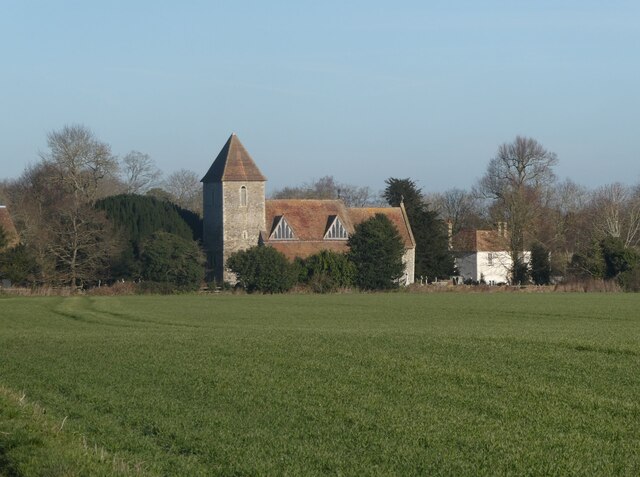
St Mary's Church, Wingham
St Mary's Church, Wingham, is an Anglican parish church in Wingham, Kent. It is recorded in the National Heritage List for England as a designated Grade...
Nearby Amenities
Located within 500m of 51.283,1.224Have you been to Windy Ridge, Wingham?
Leave your review of Windy Ridge, Wingham below (or comments, questions and feedback).