Gallows Hill
Hill, Mountain in Norfolk Broadland
England
Gallows Hill
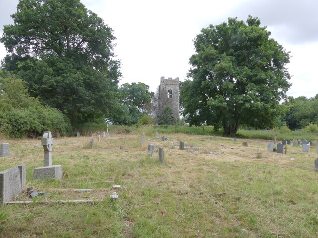
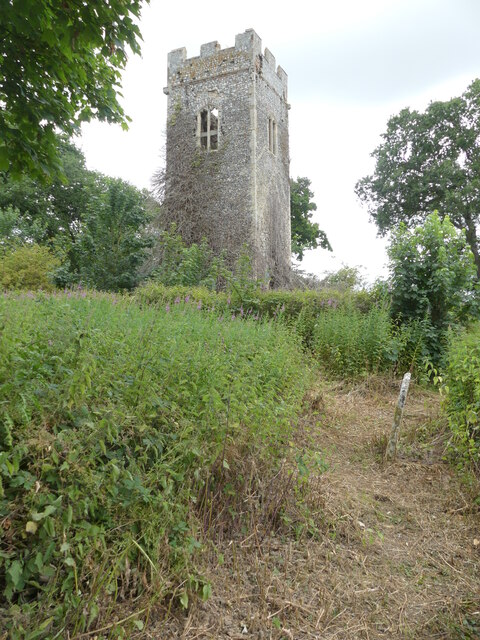
Gallows Hill, located in Norfolk, England, is a historic and prominent hill that holds significant cultural and historical importance. This hill, often referred to as Gallows Mount or Gallows Hill, rises approximately 30 meters above sea level and is situated on the outskirts of the town of Thetford.
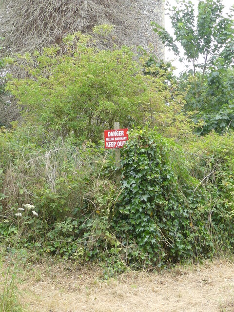
The name "Gallows Hill" suggests its dark past, as it was the site where public executions took place during the medieval era. This somber history has left an indelible mark on the landscape and has become a point of fascination for visitors and historians alike.
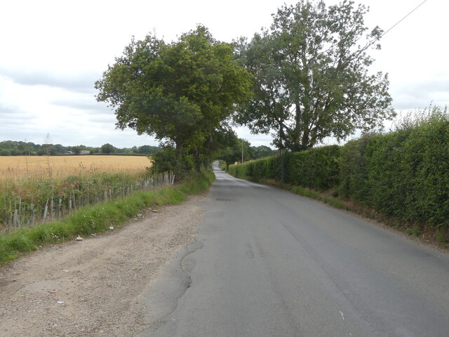
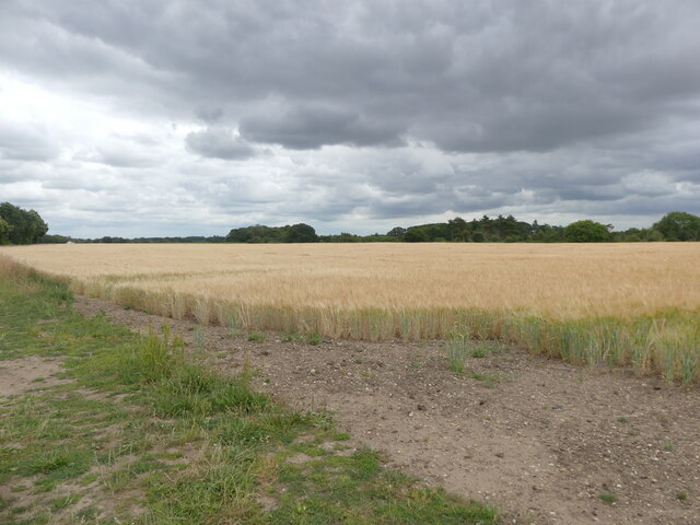
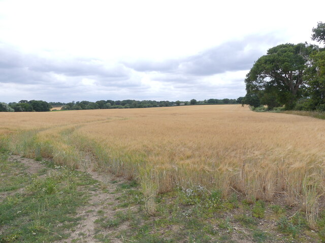
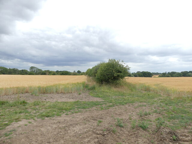
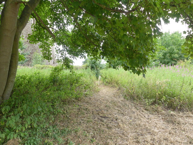
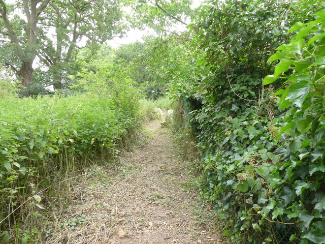
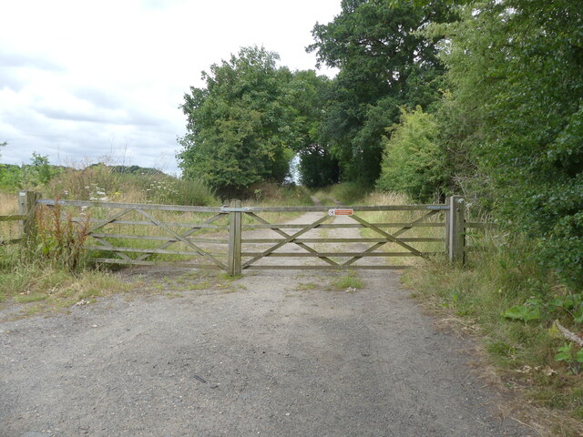
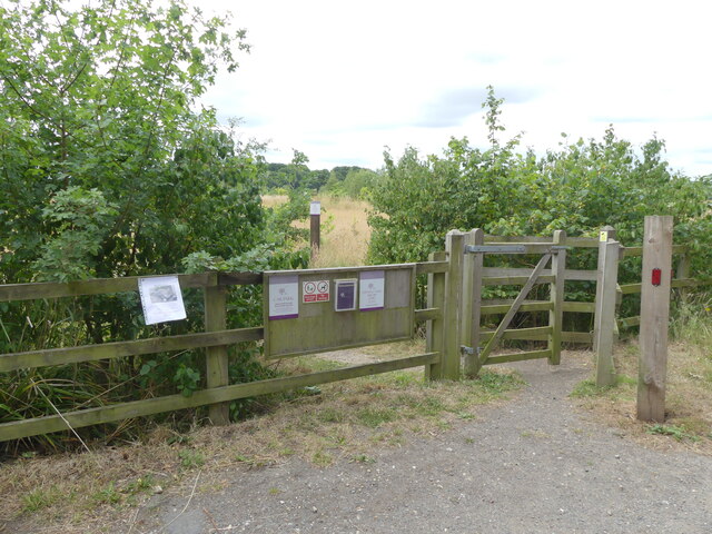
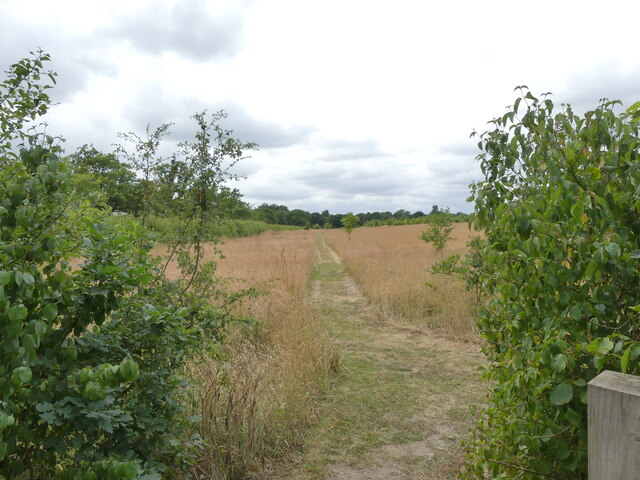
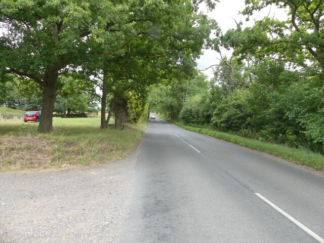
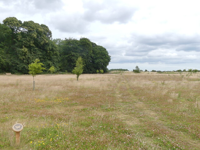
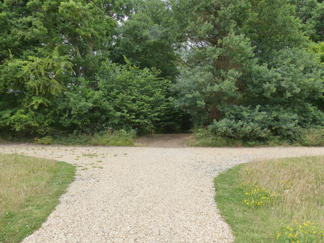
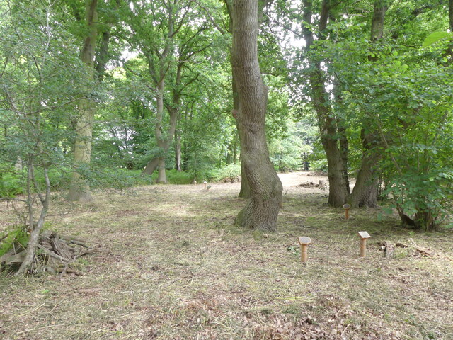
The hill itself is characterized by its gentle slopes and lush greenery, offering picturesque views of the surrounding countryside. It is accessible via a footpath that winds its way up to the summit, providing a pleasant walking experience for nature enthusiasts and history buffs.
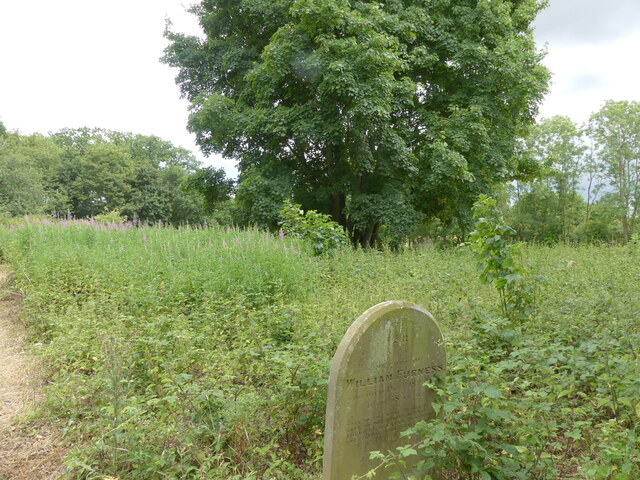
Aside from its historical significance, Gallows Hill serves as a recreational spot for locals and tourists. The hill is often used for outdoor activities such as hiking, picnicking, and birdwatching, thanks to its tranquil atmosphere and abundant wildlife. The surrounding area is also home to several other attractions, including Thetford Forest Park and the ruins of Thetford Priory, adding to the allure of the region.
In conclusion, Gallows Hill in Norfolk is not only a place of natural beauty but also a site that holds a significant place in history. With its peaceful surroundings and historical importance, it continues to captivate visitors, offering a unique blend of tranquility and intrigue.
If you have any feedback on the listing, please let us know in the comments section below.
Gallows Hill Images
Images are sourced within 2km of 52.743227/1.3099178 or Grid Reference TG2321. Thanks to Geograph Open Source API. All images are credited.
Gallows Hill is located at Grid Ref: TG2321 (Lat: 52.743227, Lng: 1.3099178)
Administrative County: Norfolk
District: Broadland
Police Authority: Norfolk
What 3 Words
///spouting.creamed.sample. Near Buxton, Norfolk
Nearby Locations
Related Wikis

Buxton, Norfolk
Buxton is a village in the parish of Buxton with Lamas, in the Broadland district of the county of Norfolk, England. It is located between Norwich and...

Stratton Strawless
Stratton Strawless is a village in the county of Norfolk and district of Broadland. The civil parish covers 714 acres (289 ha) and has a population of...

Buxton Lamas railway station
Buxton Lamas was a railway station in Buxton with Lamas, Norfolk. It was located near the Bure Valley Railway's present Buxton station. == References ==

Buxton Watermill
Buxton Mill, is located on the River Bure about 0.5 miles (0.80 km) east of the village of Buxton, Norfolk, and is in the hamlet of Lamas, Norfolk. A watermill...

Buxton railway station (Norfolk)
Buxton railway station serves the village of Buxton in Norfolk and is served by the Bure Valley Railway.

Bure Valley Path
The Bure Valley Path is a 9-mile (14 km) long walking trail and cycling trail in Norfolk, England. It runs alongside the Bure Valley Railway, a heritage...
Lamas, Norfolk
Lamas (also spelled Lammas) is a village in Broadland, Norfolk, England. Administratively it falls within the civil parish of Buxton with Lamas. The village...
Little Hautbois
Little Hautbois is a small hamlet in Broadland, England, part of the parish of Lamas. The name is pronounced 'Hobbis', and can be seen thus spelled on...
Nearby Amenities
Located within 500m of 52.743227,1.3099178Have you been to Gallows Hill?
Leave your review of Gallows Hill below (or comments, questions and feedback).