Heath, The
Settlement in Norfolk Broadland
England
Heath, The
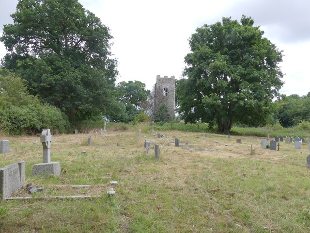
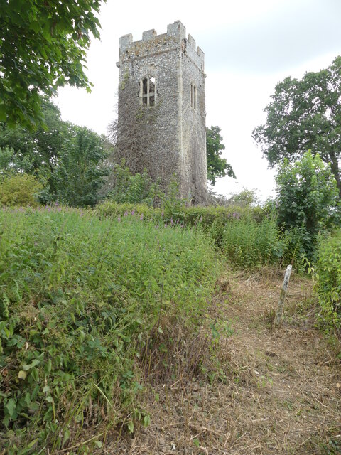
Heath, The, Norfolk is a small village located in the county of Norfolk, England. Situated in the South Norfolk district, it is nestled amidst the picturesque Norfolk countryside, offering residents and visitors a tranquil and idyllic setting. With a population of around 500 people, The Heath maintains a close-knit community feel.
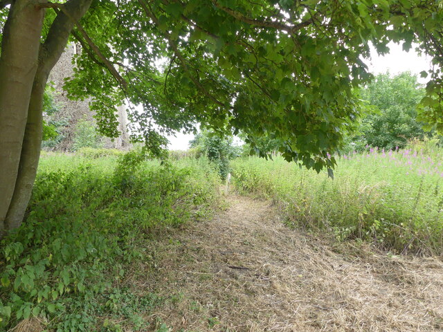
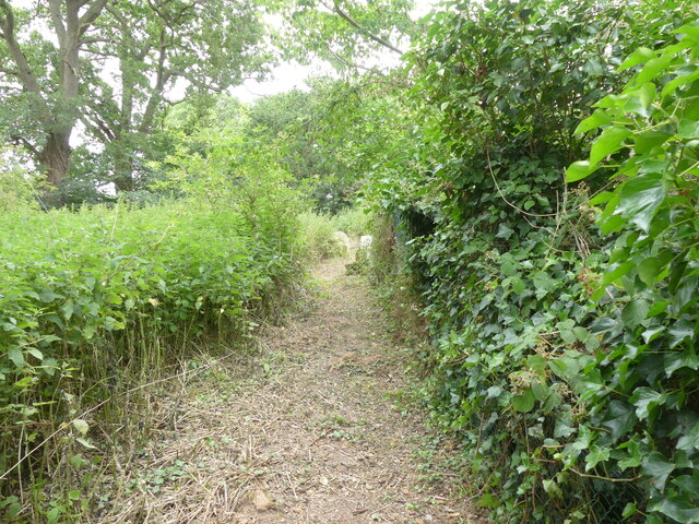
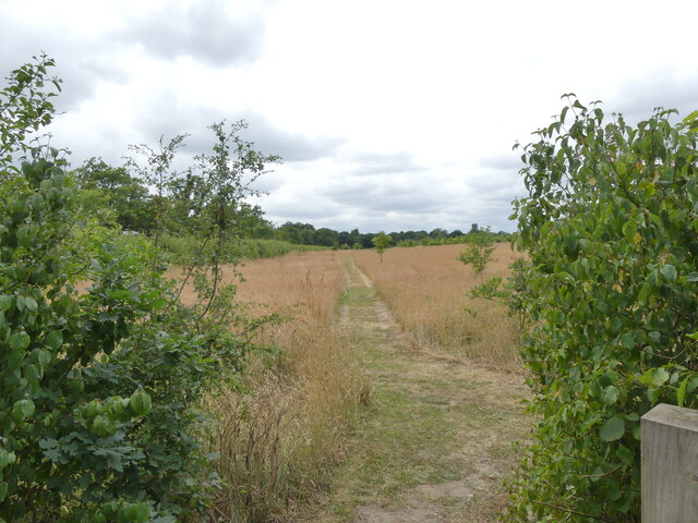
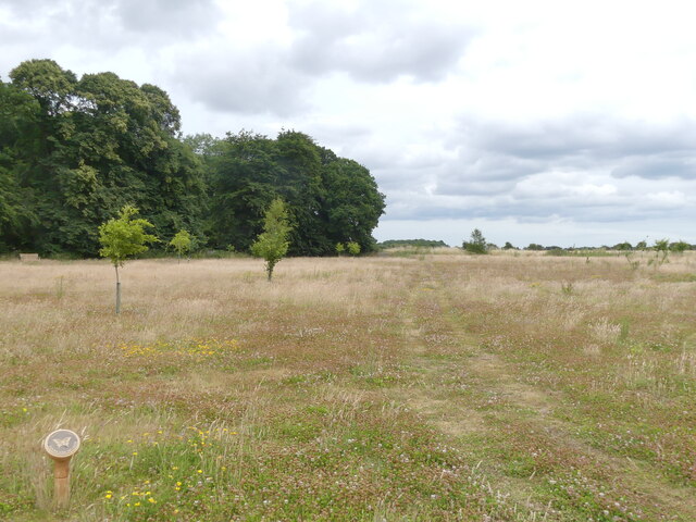
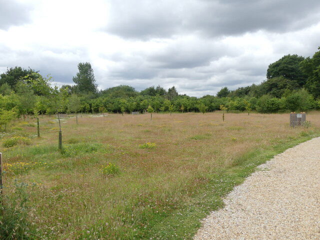
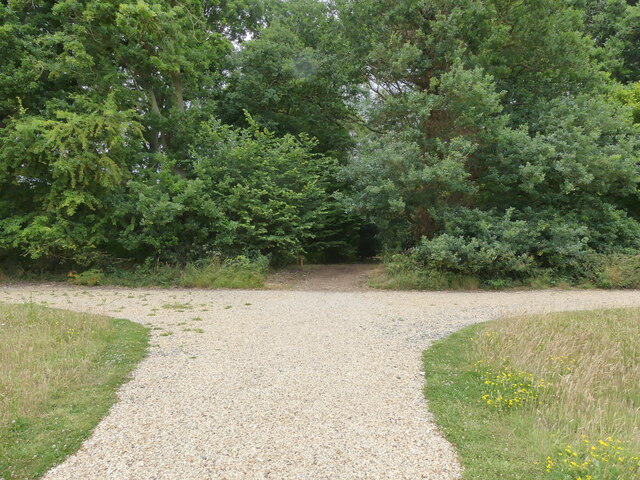
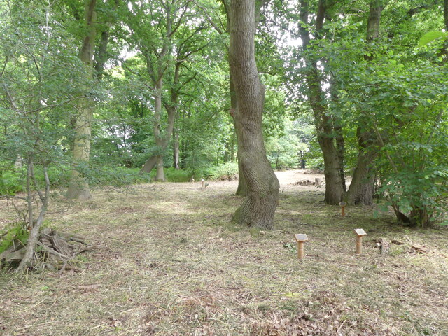
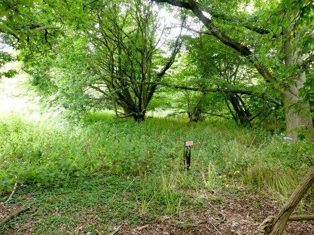
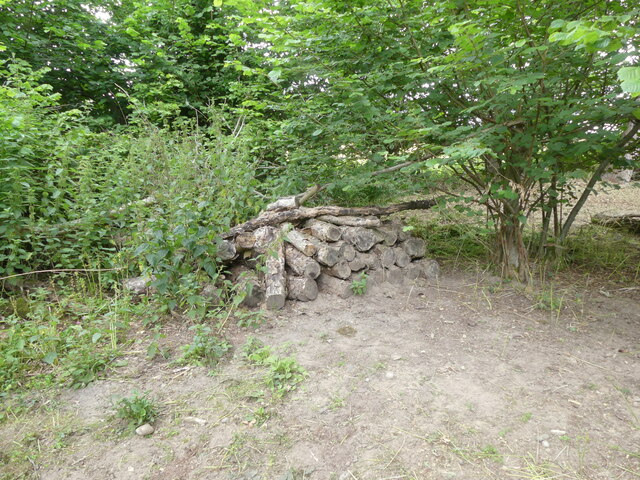
The village is known for its charming thatched cottages, which date back several centuries and add to its traditional character. The architecture is predominantly of a rural English style, providing a glimpse into the village's rich history. The Heath is surrounded by vast expanses of rolling green fields and woodlands, making it an ideal destination for nature lovers and outdoor enthusiasts.
Despite its small size, The Heath offers a range of amenities to cater to the needs of its residents. These include a local pub, which serves as a social hub for the community, a village hall that hosts various events and gatherings, and a primary school that provides education to the village's children.
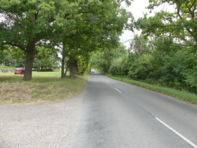
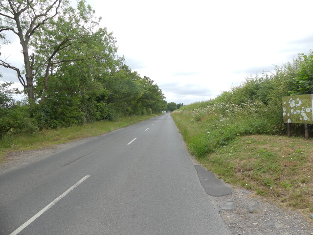
The village is also well-positioned in terms of transportation, with good road connections to nearby towns and cities. The bustling market town of Diss is just a short drive away, offering a wider range of amenities such as shops, supermarkets, and leisure facilities.
Overall, Heath, The, Norfolk is a charming and peaceful village that offers a quintessential English countryside experience. Its natural beauty, rich history, and strong community spirit make it an attractive place to live or visit for those seeking a slower pace of life.
If you have any feedback on the listing, please let us know in the comments section below.
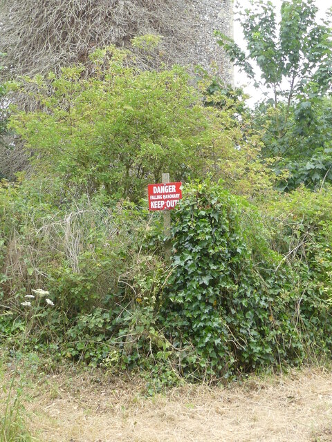
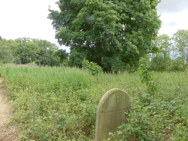
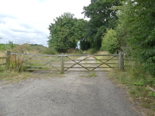
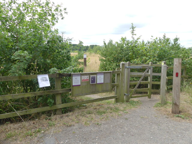
Heath, The Images
Images are sourced within 2km of 52.740604/1.3020726 or Grid Reference TG2321. Thanks to Geograph Open Source API. All images are credited.
Heath, The is located at Grid Ref: TG2321 (Lat: 52.740604, Lng: 1.3020726)
Administrative County: Norfolk
District: Broadland
Police Authority: Norfolk
What 3 Words
///botanists.lifeboats.dizziness. Near Buxton, Norfolk
Nearby Locations
Related Wikis

Stratton Strawless
Stratton Strawless is a village in the county of Norfolk and district of Broadland. The civil parish covers 714 acres (289 ha) and has a population of...

Buxton, Norfolk
Buxton is a village in the parish of Buxton with Lamas, in the Broadland district of the county of Norfolk, England. It is located between Norwich and...

Buxton Lamas railway station
Buxton Lamas was a railway station in Buxton with Lamas, Norfolk. It was located near the Bure Valley Railway's present Buxton station. == References ==

Buxton railway station (Norfolk)
Buxton railway station serves the village of Buxton in Norfolk and is served by the Bure Valley Railway.

Bure Valley Path
The Bure Valley Path is a 9-mile (14 km) long walking trail and cycling trail in Norfolk, England. It runs alongside the Bure Valley Railway, a heritage...

Buxton Watermill
Buxton Mill, is located on the River Bure about 0.5 miles (0.80 km) east of the village of Buxton, Norfolk, and is in the hamlet of Lamas, Norfolk. A watermill...

Hainford
Hainford (originally Haynford) is a village and civil parish in the English county of Norfolk. It covers an area of 6.94 km2 (2.68 sq mi) and had a population...

Horstead Hall
Horstead Hall was a country house in Norfolk that was demolished in the 1950s. The village of Horstead in the county of Norfolk is not short of country...
Have you been to Heath, The?
Leave your review of Heath, The below (or comments, questions and feedback).