Walmers Hill

Hill, Mountain in Kent Canterbury

England

Walmers Hill

Drainage channel
Drainage channel Credit: N Chadwick

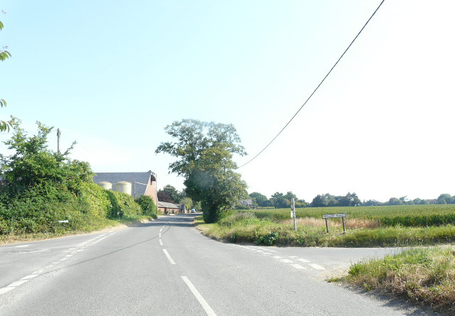
Walmers Hill is a prominent hill located in the county of Kent, England. It is situated near the village of Walmers Hill, just southeast of the town of Ashford. With an elevation of approximately 200 meters (656 feet), it is considered a notable landmark in the area.

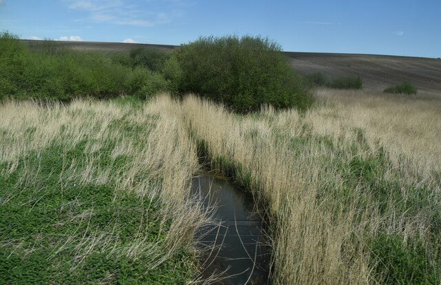
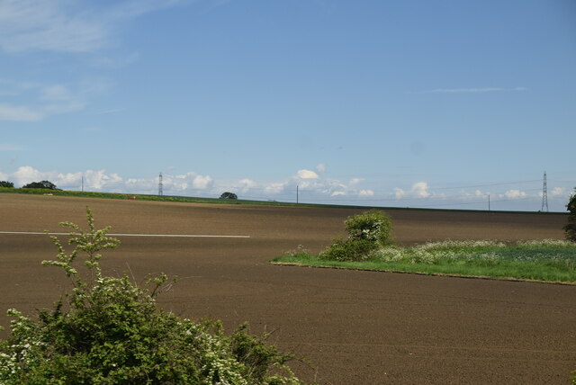
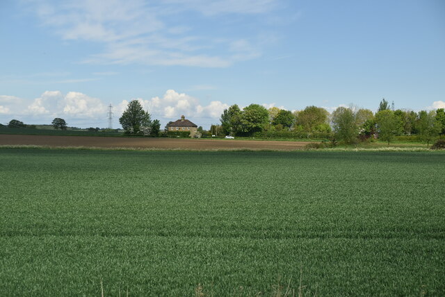
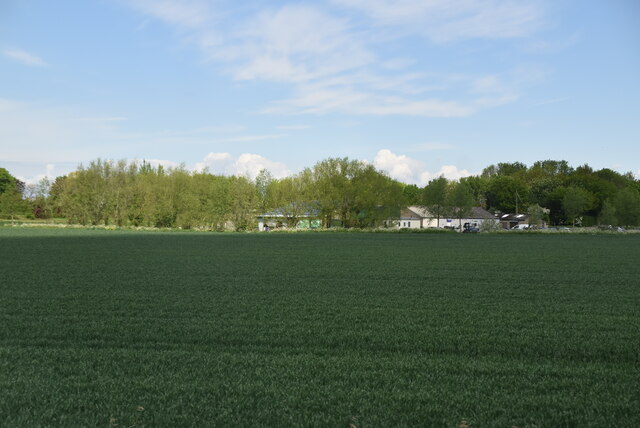
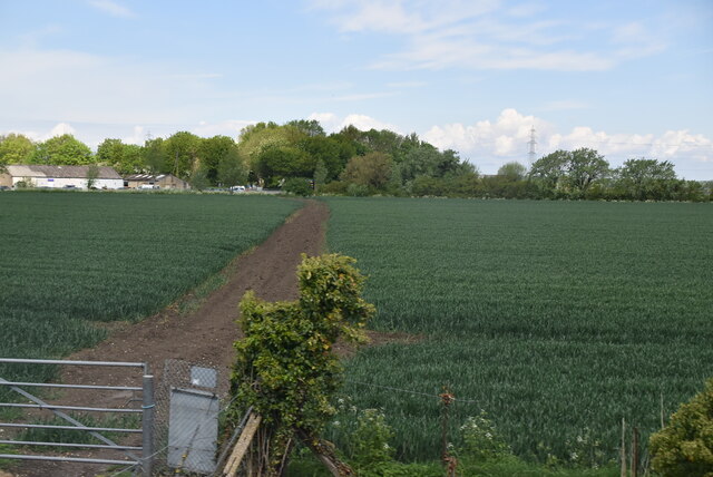
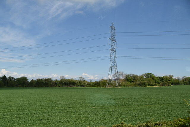
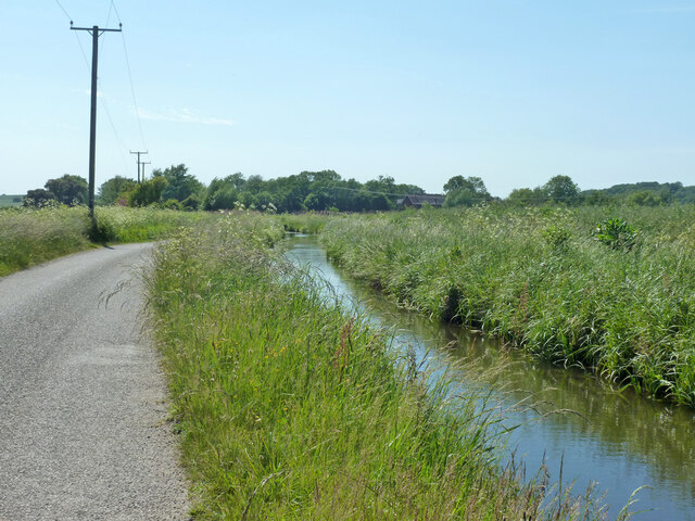
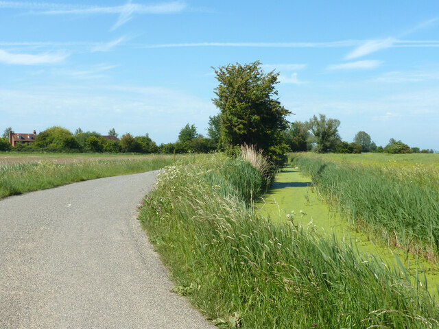
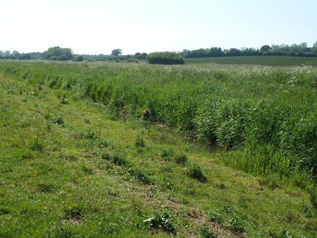
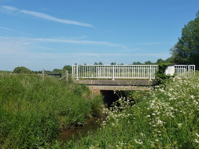
The hill is characterized by its gentle slopes and lush greenery, offering picturesque views of the surrounding countryside. It is primarily composed of chalk, a sedimentary rock that forms the famous White Cliffs of Dover further south.

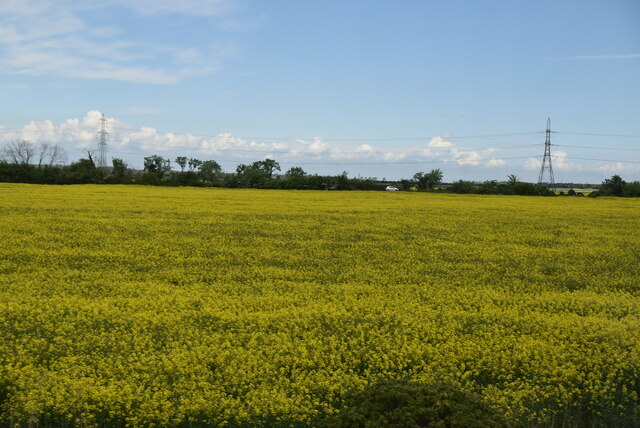
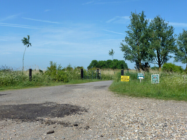
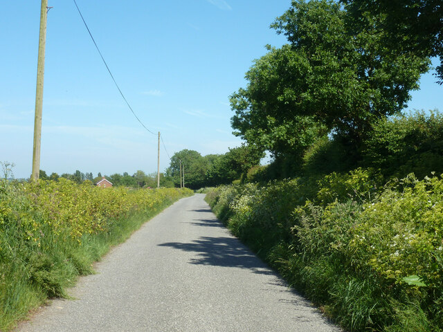
Walmers Hill is a popular destination for outdoor enthusiasts and nature lovers. Its tranquil and unspoiled environment provides ample opportunities for walking, hiking, and exploring the great outdoors. The hill is often adorned with colorful wildflowers during the spring and summer months, creating a vibrant and visually stunning landscape.

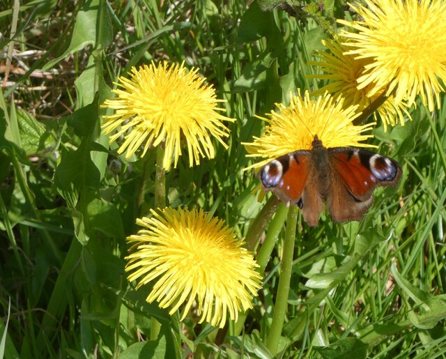
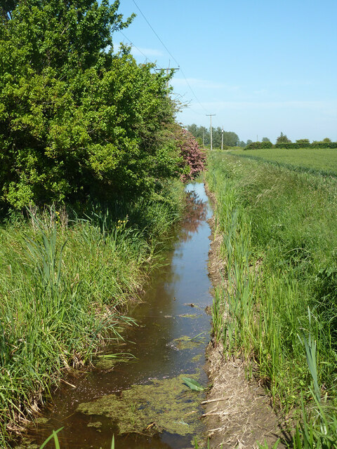
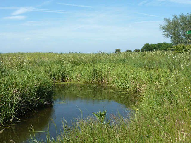
The area surrounding Walmers Hill is also known for its diverse wildlife. Visitors may encounter various species of birds, butterflies, and small mammals while exploring the hillside. Additionally, the hill is home to several ancient woodlands, which are protected areas known for their ecological importance.

Walmers Hill offers a peaceful retreat from the bustling city life, providing a serene environment for relaxation and recreation. Its natural beauty and accessibility make it a favored spot for locals and tourists alike, who seek solace in the breathtaking views and tranquility offered by this stunning hill in the heart of Kent.

If you have any feedback on the listing, please let us know in the comments section below.

Walmers Hill Images

Images are sourced within 2km of 51.328192/1.2058763 or Grid Reference TR2363. Thanks to Geograph Open Source API. All images are credited.

Drainage channel
Drainage channel
Farmland in Stour Valley
Arable fields
Arable fields
Wall End Farm
Wall End Farm
Footpath crossing field
Oilseed rape Rapeseed (Brassica napus), also known as rape, oilseed rape and canola, is a bright yellow flowering member of the family Brassicaceae (mustard or cabbage family).
Rapeseed is grown for the production of animal feed, vegetable oil for human consumption, and increasingly biodiesel; leading producers include the European Union, Canada, the United States, Australia, China and India.
Oilseed rape
Rapeseed (Brassica napus), also known as rape, oilseed rape and canola, is a bright yellow flowering member of the family Brassicaceae (mustard or cabbage family). Rapeseed is grown for the production of animal feed, vegetable oil for human consumption, and increasingly biodiesel; leading producers include the European Union, Canada, the United States, Australia, China and India.
Pylon in field
Pylon in field
Stodmarsh National Nature reserve Dandelions and peacock butterfly by one of the footpaths.
Stodmarsh National Nature reserve
Dandelions and peacock butterfly by one of the footpaths.
Chislet Court Farm Viewed from Church Lane near to the junction with Hollow Road.
Chislet Court Farm
Viewed from Church Lane near to the junction with Hollow Road.
Drain by Chitty Lane The lane is to the left.
Drain by Chitty Lane
The lane is to the left.
Pump house by Chitty Lane Later demolished.  There is a pipe passing under the lane to the drain on the other side.  It looks a bit home-made, not a drainage authority feature.  It was replaced by a modern trailed irrigation pump.
Pump house by Chitty Lane
Later demolished. There is a pipe passing under the lane to the drain on the other side. It looks a bit home-made, not a drainage authority feature. It was replaced by a modern trailed irrigation pump.
Drain by Chitty Lane
Start of Tipper Drove A private road off Chitty Lane, the way to Marshside Fishery.
Start of Tipper Drove
A private road off Chitty Lane, the way to Marshside Fishery.
Drain by Chitty Lane
Chitty Lane, Chislet Towards Chitty.
Chitty Lane, Chislet
Towards Chitty.
Nethergong Penn A rather overgrown but important drainage channel.
Nethergong Penn
A rather overgrown but important drainage channel.
Bridge over Nethergong Penn The road crossing is Nethergong Hill, at least to the right. It becomes Sandpit Hill somewhere to the left.
Bridge over Nethergong Penn
The road crossing is Nethergong Hill, at least to the right. It becomes Sandpit Hill somewhere to the left.
Show me another place!

Walmers Hill is located at Grid Ref: TR2363 (Lat: 51.328192, Lng: 1.2058763)

Administrative County: Kent

District: Canterbury

Police Authority: Kent

What 3 Words

///factoring.incurring.tidy. Near Wingham, Kent

Nearby Locations

Walmers Hill

Related Wikis

Grove Ferry and Upstreet railway station

Grove Ferry and Upstreet was a railway station in east Kent. It was opened by South Eastern Railway (SER), on the Ashford to Ramsgate (via Canterbury West...

Grove Ferry Picnic Area

The Grove Ferry Picnic Area is near Upstreet, in Kent, England, on the site of an old hand-drawn ferry that once crossed the River Stour here. The area...

Upstreet

Upstreet is a village in the civil parish of Chislet in Kent, England. It is in the local government district of Canterbury, and the electoral ward of...

Chislet

Chislet is an English village and civil parish in northeast Kent between Canterbury and the Isle of Thanet. The parish is the second largest in the district...

Sarre Penn

Sarre Penn is a tributary of the River Stour in Kent, England, joining with the River Wantsum near Sarre, where it is known locally as the Fishbourne...

All Saints Church, West Stourmouth

All Saints Church, West Stourmouth, is a redundant Anglican church in the civil parish of Stourmouth, Kent, England. It is recorded in the National Heritage...

Boyden Gate

Boyden Gate is a village in the civil parish of Chislet in Kent, England. == External links == Media related to Boyden Gate at Wikimedia Commons

Sarre, Kent

Sarre is a village and civil parish in Thanet District in Kent, England. The village is a part of St. Nicholas-at-Wade ecclesiastical parish, after having...

Nearby Amenities

Located within 500m of 51.328192,1.2058763
Crossing Barrier: half
Railway: level_crossing
Lat/Long: 51.324093/1.2065483
Bus Stop
Grove Ferry Hill
Bench: no
Bin: no
Bus: yes
Flag: yes
Naptan AtcoCode: 2400A040090A
Naptan Bearing: NE
Naptan CommonName: Grove Ferry Hill
Naptan Indicator: opp
Naptan Landmark: Grove Ferry Hill
Naptan NaptanCode: kntdptmp
Naptan Street: Island Road
Naptan Verified: no
Public Transport: platform
Shelter: no
Source: naptan_import
Tactile Paving: no
Lat/Long: 51.3252675/1.2005681
Bus Stop
Grove Ferry Hill
Bench: no
Bin: yes
Bus: yes
Lit: yes
Naptan AtcoCode: 2400A040120A
Naptan Bearing: SW
Naptan CommonName: Grove Ferry Hill
Naptan Indicator: adj
Naptan Landmark: Grove Ferry Hill
Naptan NaptanCode: kntdptpa
Naptan Street: Island Road
Naptan Verified: no
Public Transport: platform
Shelter: no
Source: naptan_import
Tactile Paving: no
Lat/Long: 51.325331/1.2012525
Kerb: no
Lat/Long: 51.3269505/1.2066572
Power: pole
Lat/Long: 51.3244124/1.2065912
Power: pole
Lat/Long: 51.3249438/1.2056491
Power: pole
Lat/Long: 51.3254475/1.2047553
Power: pole
Lat/Long: 51.3260438/1.2040168
Crossing Barrier: half
Railway: level_crossing
Lat/Long: 51.3241304/1.2065423
The data included in this document is from www.openstreetmap.org. The data is made available under ODbL.

Have you been to Walmers Hill?

Leave your review of Walmers Hill below (or comments, questions and feedback).