Dick's Close Hill

Hill, Mountain in Norfolk North Norfolk

England

Dick's Close Hill

Southeast on Overstrand Road
Southeast on Overstrand Road Credit: David Pashley

Dick's Close Hill is a prominent hill located in Norfolk, England. Situated in the eastern part of the county, it is part of the Norfolk Broads National Park and offers stunning panoramic views of the surrounding landscape. Despite its name, Dick's Close Hill is not actually a hill per se, but rather a tall mound or hillock that stands out in the otherwise flat terrain of the area.

The hill itself is approximately 30 meters high and is covered in lush green grass, which makes it a popular spot for picnickers and nature enthusiasts. The site is also home to a diverse range of wildlife, including various bird species, small mammals, and insects.

Dick's Close Hill boasts a rich history, with evidence of human occupation dating back thousands of years. Archaeological excavations have revealed the presence of ancient burial mounds and flint artifacts, providing insights into the lives of the people who once inhabited this area.

Today, the hill is a protected site, preserving its natural and historical significance. Visitors can access the top of the hill via a well-maintained footpath, which offers breathtaking views of the Norfolk countryside. The hill is also a popular destination for hikers and walkers, who can enjoy the peaceful ambiance and tranquility of the surrounding environment.

Overall, Dick's Close Hill is a picturesque and historically significant landmark in Norfolk, offering visitors a chance to connect with nature and explore the rich heritage of the region.

If you have any feedback on the listing, please let us know in the comments section below.

Dick's Close Hill Images

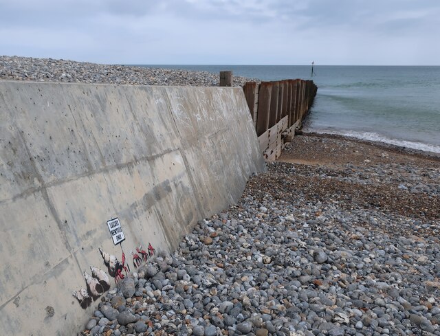
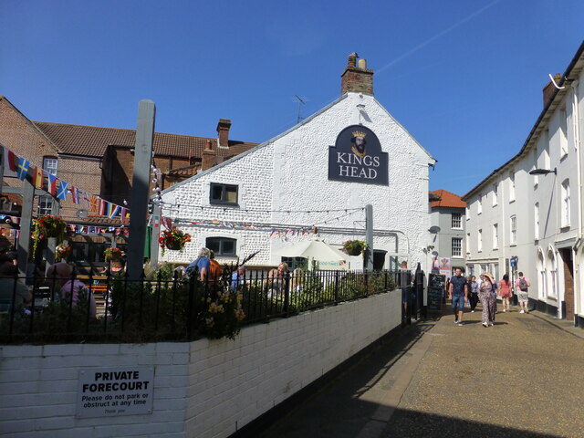
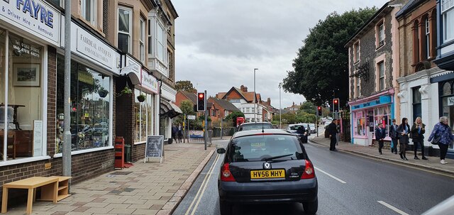
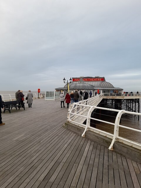
Images are sourced within 2km of 52.922537/1.3222207 or Grid Reference TG2341. Thanks to Geograph Open Source API. All images are credited.

Southeast on Overstrand Road
Looking towards Junction with Mill Road
Entrance drive to The Grove Restaurant
The Grove South Park entrance path
Cromer Pier
Cromer Pier
Cromer from the Pier Rain squall approaching
Cromer from the Pier
Rain squall approaching
Cromer Pier
Cromer Pier
St Peter and St Paul, Cromer parish church
Coastal defences below The Promenade, Overstrand
Seafront, Overstrand
Gabions at Overstrand Unfortunately salty sea spray is not a good environment for long term effect as the wire cages are rusting away.
Gabions at Overstrand
Unfortunately salty sea spray is not a good environment for long term effect as the wire cages are rusting away.
Unstable cliffs below Overstand
Groynes and revetments at Overstrand Endeavouring to hold the sea back from the crumbling cliffs.
Groynes and revetments at Overstrand
Endeavouring to hold the sea back from the crumbling cliffs.
Banksy on Cromer groyne New artwork commenting on the conflict between holiday and local accommodation.
Banksy on Cromer groyne
New artwork commenting on the conflict between holiday and local accommodation.
Banksy on Cromer groyne The artwork is commenting on the conflict between holiday and local accommodation. The groyne is holding back a lot of material from eastward longshore drift. See <a href="https://www.geograph.org.uk/photo/6934496">TG2241 : Banksy on Cromer groyne</a> for a close up of the artwork.
Banksy on Cromer groyne
The artwork is commenting on the conflict between holiday and local accommodation. The groyne is holding back a lot of material from eastward longshore drift. See TG2241 : Banksy on Cromer groyne for a close up of the artwork.
Kings Head in High Street
Traffic lights on Church Street
Cromer Pier
Cromer Pier
Show me another place!

Dick's Close Hill is located at Grid Ref: TG2341 (Lat: 52.922537, Lng: 1.3222207)

Administrative County: Norfolk

District: North Norfolk

Police Authority: Norfolk

What 3 Words

///decanter.pedicure.spirits. Near Overstrand, Norfolk

Related Wikis

Overstrand Cliffs

Overstrand Cliffs is a 57.8-hectare (143-acre) biological and geological Site of Special Scientific Interest in Cromer in Norfolk. It is a Special Area...

Cromer Lighthouse

Cromer Lighthouse is situated in the coastal town of Cromer, in the English county of Norfolk. == History == There has been a lighthouse on the cliff top...
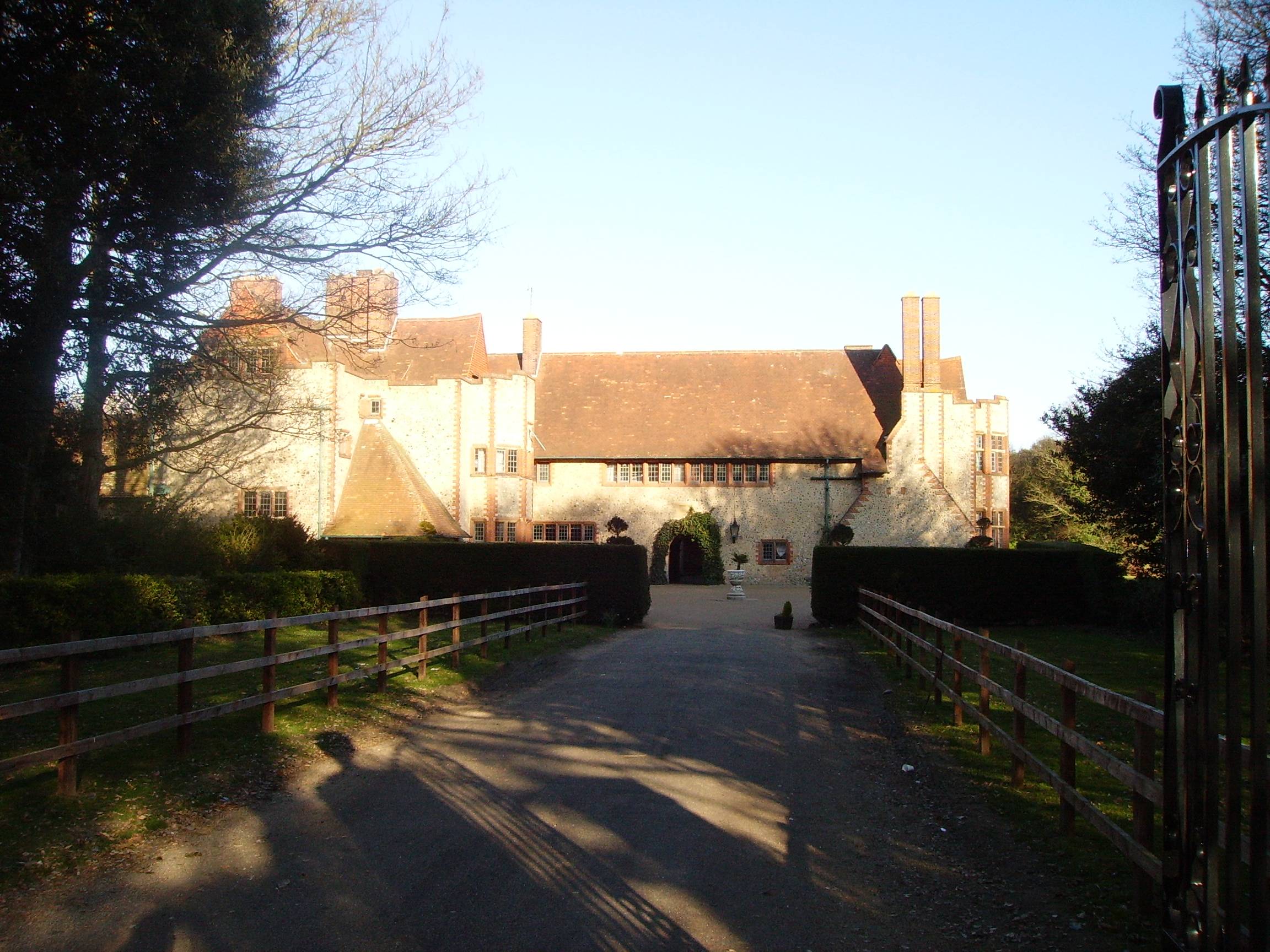
Overstrand Hall

Overstrand Hall is a country house in Overstrand, Norfolk, England, designed by Edwin Lutyens for Charles William Mills, 2nd Baron Hillingdon, a partner...

Cromer Hospital

Cromer and District Hospital (formerly known as Cromer Cottage Hospital) opened in 1932 in the suburb of Suffield Park in the town of Cromer within the...

Nearby Amenities

Located within 500m of 52.922537,1.3222207
Bus Stop
Golf club, adj
Naptan AtcoCode: 2900C386
Naptan Bearing: SE
Naptan CommonName: Golf club
Naptan Indicator: adj
Naptan Landmark: Golf club
Naptan Locality: Cromer
Naptan NaptanCode: nfoamdjm
Naptan ShortCommonName: Golf club
Naptan Street: Overstrand Road
Naptan Verified: no
Shelter: no
Source: naptan_import
Tactile Paving: yes
Lat/Long: 52.9222772/1.3166732
Bus Stop
Golf club, opp
Naptan AtcoCode: 2900C3865
Naptan Bearing: W
Naptan CommonName: Golf club
Naptan Indicator: opp
Naptan Landmark: Golf club
Naptan Locality: Cromer
Naptan NaptanCode: nfoamdmg
Naptan ShortCommonName: Golf club
Naptan Street: Overstrand Road
Naptan Verified: no
Shelter: no
Source: naptan_import
Tactile Paving: yes
Lat/Long: 52.9222863/1.3163465
Cromer Lighthouse
Man Made: lighthouse
Seamark Landmark Height: 18
Seamark Light 1 Character: Fl
Seamark Light 1 Colour: white
Seamark Light 1 Height: 84
Seamark Light 1 Period: 5
Seamark Light 1 Range: 21
Seamark Light 1 Sector End: 307.0
Seamark Light 1 Sector Start: 102.0
Seamark Light 1 Sequence: 0.1+(4.9)
Seamark Light Reference: A 2342
Seamark Name: Cromer
Seamark Radar Transponder Category: racon
Seamark Radar Transponder Group: O
Seamark Radar Transponder Period: 60
Seamark Radio Station Category: ais
Seamark Radio Station Mmsi: 992351015
Seamark Type: light_major
Wikidata: Q2752583
Lat/Long: 52.9246805/1.3164926
Bench
Backrest: yes
Lat/Long: 52.9249259/1.3179815
Bench
Backrest: yes
Lat/Long: 52.9249227/1.3180915
Inscription: Dedicated to the memory of Fr. Peter Cansdale, Parish Priest from 1990 - 1997 who was intrumental in organising the building of the hall and porch and whose generosity, after death, enabled the parish to enlarge the car park
Inscription 2: and in 2005 to make access to the hall and church suitable for all
Lat/Long: 52.9220961/1.3177733
Give Way
Direction: backward
Lat/Long: 52.9226579/1.3148737
Give Way
Direction: forward
Lat/Long: 52.9225611/1.3151829
Valonia Cottage
Operator: Trinity House, Rural Retreats
Tourism: guest_house
Lat/Long: 52.9245637/1.316418
Golf: pin
Lat/Long: 52.9202166/1.322
Golf: pin
Lat/Long: 52.918749/1.3259806
Golf: pin
Lat/Long: 52.920712/1.3236961
Golf: pin
Lat/Long: 52.9220597/1.3243738
Golf: pin
Lat/Long: 52.9222966/1.3283773
Golf: pin
Lat/Long: 52.921137/1.328442
Golf: pin
Lat/Long: 52.9215583/1.3252447
Golf: pin
Lat/Long: 52.9229891/1.3231919
Golf: pin
Lat/Long: 52.9241088/1.3166515
Golf: pin
Lat/Long: 52.9236519/1.3219879
Golf: pin
Lat/Long: 52.9216603/1.323487
Golf: pin
Lat/Long: 52.9215065/1.3227303
Golf: pin
Lat/Long: 52.9232738/1.3189445
Bench
Backrest: yes
Lat/Long: 52.9254327/1.317986
Bench
Backrest: no
Colour: grey
Inscription: no
Material: wood
Seats: 5
Lat/Long: 52.9233601/1.3295133
Waste Basket
Litter
Waste: trash
Lat/Long: 52.9210283/1.315645
Give Way
Lat/Long: 52.9210899/1.3157291
Historic: memorial
Inscription: To Clement Scott / who by his pen immortalised poppyland / Erected by many friends November 1909
Material: stone
Memorial: stone
Start Date: 1909
Lat/Long: 52.9224338/1.3154669
Communication Mobile Phone: yes
Man Made: mast
Material: metal
Operator: EE
Tower Construction: freestanding
Tower Type: communication
Lat/Long: 52.9186999/1.3218804
Board Type: history
Information: board
Tourism: information
Lat/Long: 52.9239373/1.322326
The data included in this document is from www.openstreetmap.org. The data is made available under ODbL.

Have you been to Dick's Close Hill?

Leave your review of Dick's Close Hill below (or comments, questions and feedback).