Farm Hill
Hill, Mountain in Norfolk South Norfolk
England
Farm Hill

Farm Hill is a small, picturesque hill located in the county of Norfolk, England. It is situated in the rural countryside, offering breathtaking views of the surrounding landscape. Rising to an elevation of approximately 150 meters above sea level, Farm Hill is often referred to as a mountain due to its prominent height in the otherwise flat terrain of Norfolk.
The hill is covered in lush green vegetation, primarily consisting of grasslands and patches of dense woodland. The area is rich in biodiversity, hosting a variety of plant and animal species. Visitors to Farm Hill can expect to encounter a diverse range of flora and fauna, including wildflowers, birds, and small mammals.
Farm Hill is a popular destination for outdoor enthusiasts and nature lovers. Its elevated position provides visitors with panoramic vistas of the Norfolk countryside, making it an ideal spot for photography and scenic walks. The hill offers several well-marked trails, allowing hikers to explore its slopes and enjoy the tranquil surroundings.
Aside from its natural beauty, Farm Hill also holds historical significance. The area is dotted with remnants of ancient settlements, including burial mounds and archaeological sites. These historical landmarks offer insight into the rich cultural heritage of Norfolk and provide a fascinating glimpse into the lives of past civilizations.
Overall, Farm Hill is a captivating destination, offering a unique blend of natural beauty and historical intrigue. Whether one seeks a peaceful retreat in nature or wishes to delve into the region's history, Farm Hill provides a memorable experience for all who visit.
If you have any feedback on the listing, please let us know in the comments section below.
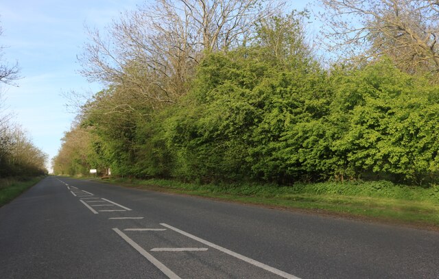
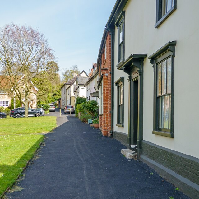
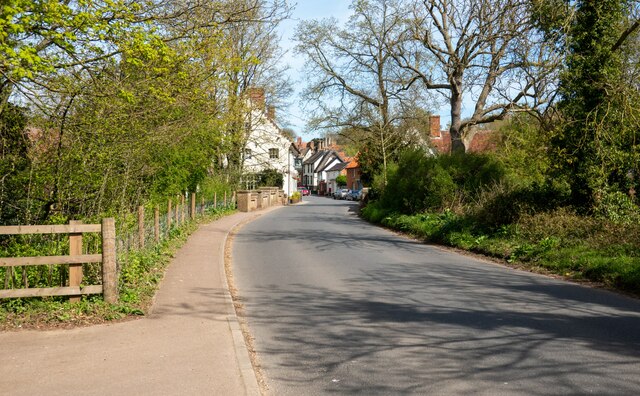
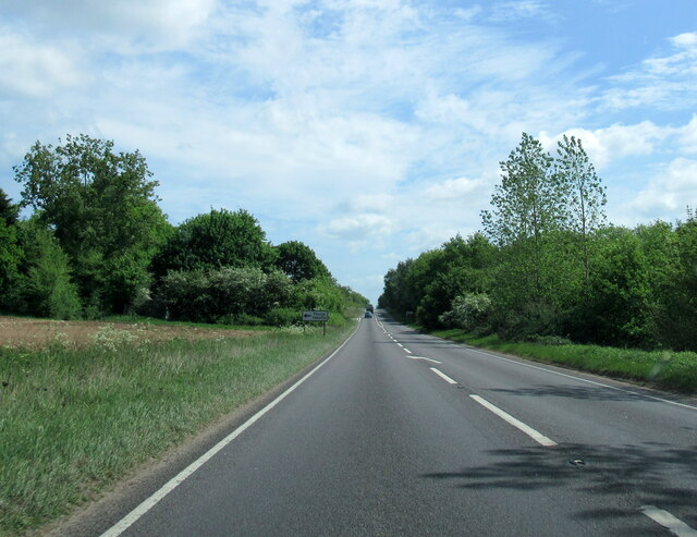
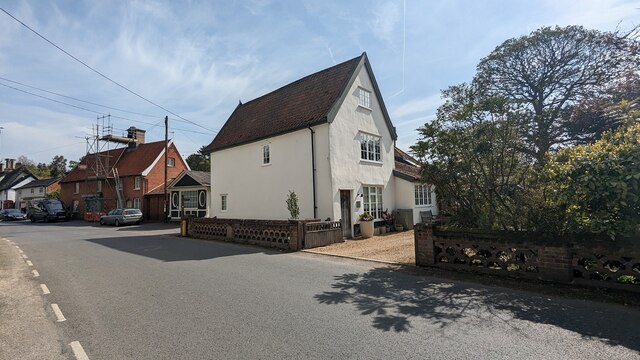
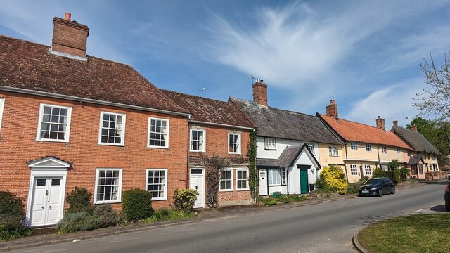
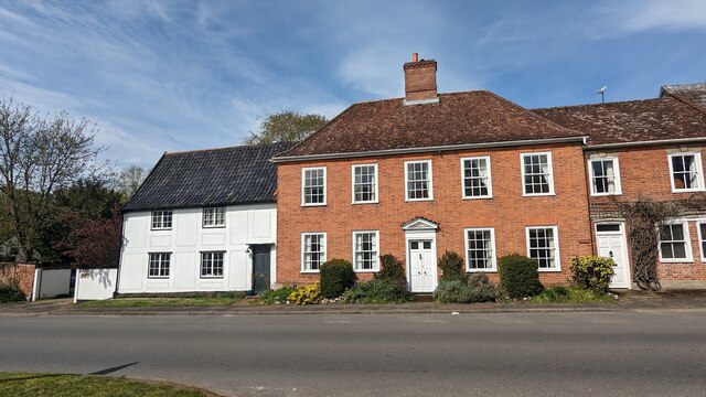
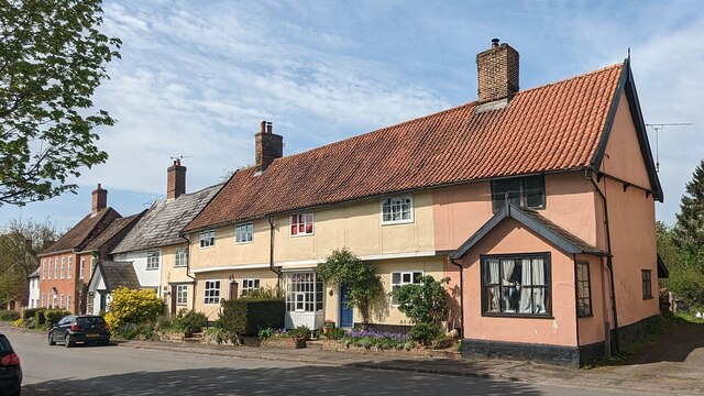
Farm Hill Images
Images are sourced within 2km of 52.365065/1.1887326 or Grid Reference TM1778. Thanks to Geograph Open Source API. All images are credited.


Farm Hill is located at Grid Ref: TM1778 (Lat: 52.365065, Lng: 1.1887326)
Administrative County: Norfolk
District: South Norfolk
Police Authority: Norfolk
What 3 Words
///modifies.weeknight.chromatic. Near Scole, Norfolk
Nearby Locations
Related Wikis

Dickleburgh and Rushall
Dickleburgh and Rushall is a civil parish in South Norfolk. It covers an area of 14.90 km2 (5.75 sq mi) and had a population of 1356 in 565 households...
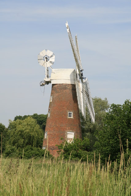
Billingford Windmill
Billingford Windmill is a grade II* listed brick tower mill at Billingford near Diss, Norfolk, England which has been preserved and restored to working...
Billingford, South Norfolk
Billingford or Pirleston is a village and former civil parish, 19 miles (31 km) south of Norwich, now in the parish of Scole, in the South Norfolk district...
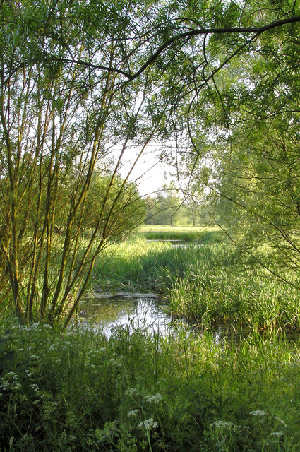
River Dove, Suffolk
The River Dove is a river in the county of Suffolk. It is a tributary of the River Waveney starting near Bacton going through Eye to the Waveney. ��2...
Nearby Amenities
Located within 500m of 52.365065,1.1887326Have you been to Farm Hill?
Leave your review of Farm Hill below (or comments, questions and feedback).