Farmhill Plantation
Wood, Forest in Norfolk South Norfolk
England
Farmhill Plantation
Farmhill Plantation is a picturesque woodland estate located in Norfolk, England. Spanning over a vast area, it is nestled in the heart of the county and is renowned for its serene and idyllic surroundings. The plantation is primarily known for its dense woodlands and lush forests, making it a haven for nature enthusiasts and outdoor lovers.
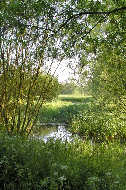
The diverse range of flora and fauna found at Farmhill Plantation adds to its natural charm. Towering oak, beech, and pine trees dominate the landscape, providing a sanctuary for various bird species, including woodpeckers and owls. The forest floor is carpeted with an array of wildflowers, adding bursts of color throughout the seasons.
Farmhill Plantation offers numerous recreational opportunities for visitors. A network of walking trails weaves through the estate, allowing visitors to explore the woodland at their own pace. These trails cater to both leisurely strolls and more challenging hikes, making it suitable for all fitness levels. The plantation also features picnic areas, providing a perfect spot to relax and immerse oneself in the tranquility of nature.
In addition to its natural beauty, Farmhill Plantation holds historical significance. The land has been cultivated for centuries, with evidence of agricultural activities dating back to ancient times. The remnants of old farm buildings and walls can still be seen within the estate, adding an element of historical intrigue to the surroundings.
Farmhill Plantation, Norfolk, is a captivating destination that offers a harmonious blend of natural beauty, recreational opportunities, and historical significance. It continues to captivate visitors with its enchanting woodlands and remains a cherished gem of the Norfolk countryside.
If you have any feedback on the listing, please let us know in the comments section below.
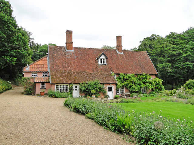
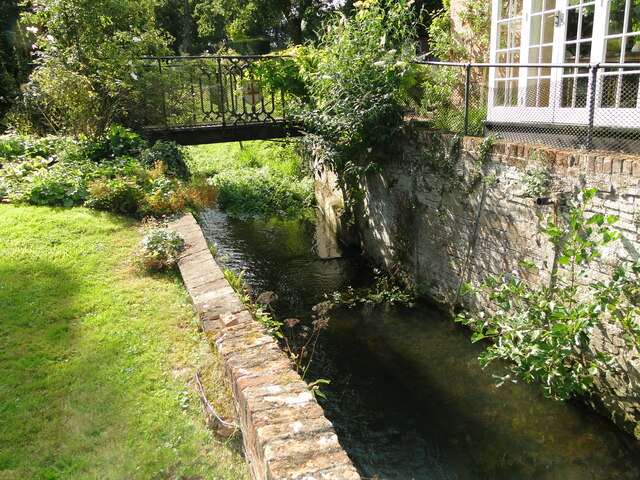
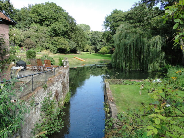
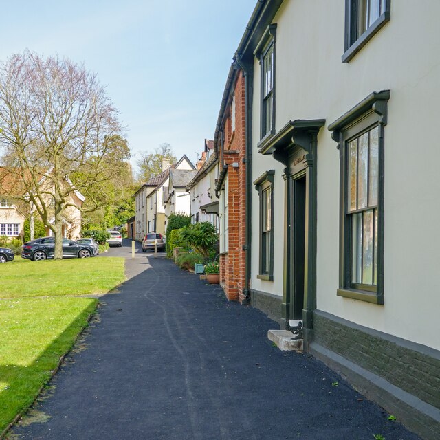
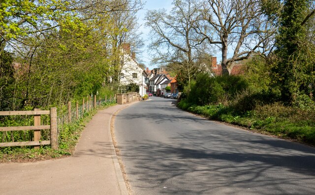
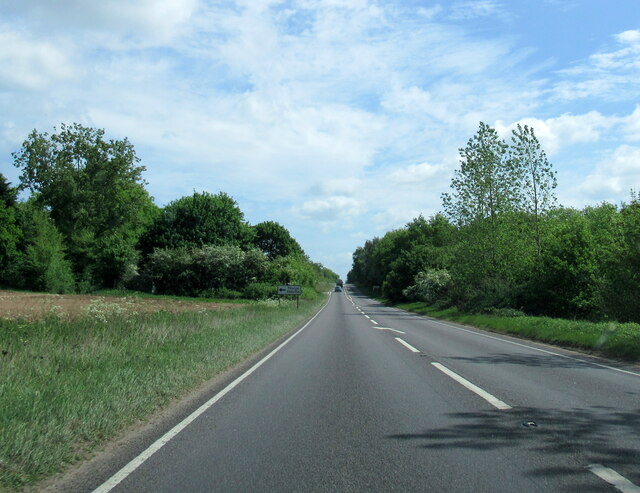
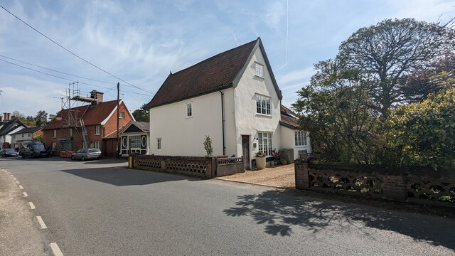
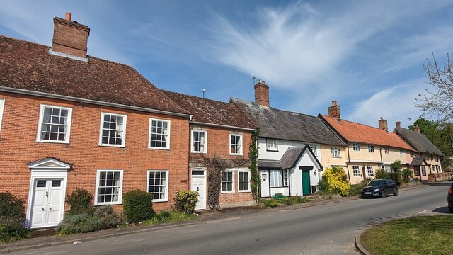
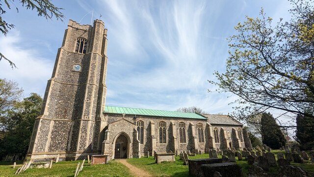
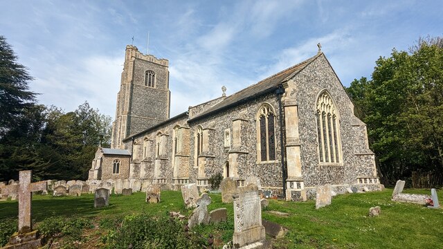
Farmhill Plantation Images
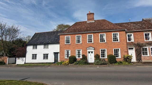
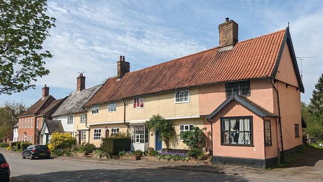
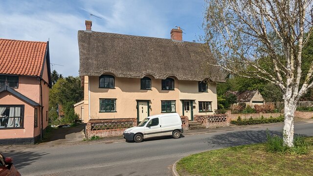
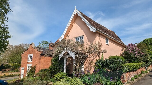
Images are sourced within 2km of 52.362428/1.1917746 or Grid Reference TM1778. Thanks to Geograph Open Source API. All images are credited.


Farmhill Plantation is located at Grid Ref: TM1778 (Lat: 52.362428, Lng: 1.1917746)
Administrative County: Norfolk
District: South Norfolk
Police Authority: Norfolk
What 3 Words
///niece.bypasses.estuaries. Near Scole, Norfolk
Nearby Locations
Related Wikis
River Dove, Suffolk
The River Dove is a river in the county of Suffolk. It is a tributary of the River Waveney starting near Bacton going through Eye to the Waveney. ��2...
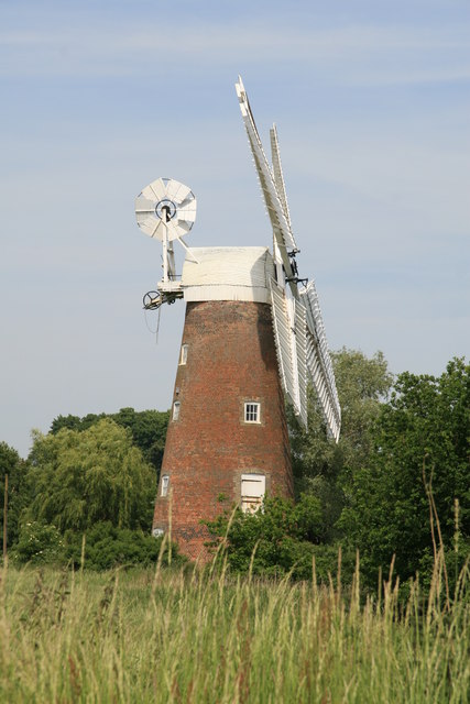
Billingford Windmill
Billingford Windmill is a grade II* listed brick tower mill at Billingford near Diss, Norfolk, England which has been preserved and restored to working...

Dickleburgh and Rushall
Dickleburgh and Rushall is a civil parish in South Norfolk. It covers an area of 14.90 km2 (5.75 sq mi) and had a population of 1356 in 565 households...
Billingford, South Norfolk
Billingford or Pirleston is a village and former civil parish, 19 miles (31 km) south of Norwich, now in the parish of Scole, in the South Norfolk district...
Nearby Amenities
Located within 500m of 52.362428,1.1917746Have you been to Farmhill Plantation?
Leave your review of Farmhill Plantation below (or comments, questions and feedback).