Freston Hill
Hill, Mountain in Suffolk Babergh
England
Freston Hill
Freston Hill, located in Suffolk, England, is a notable hill that rises to an elevation of approximately 49 meters (161 feet). Situated in the southeastern part of the county, Freston Hill is part of the Suffolk Coast and Heaths Area of Outstanding Natural Beauty.
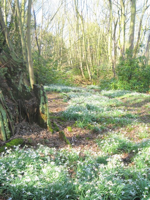
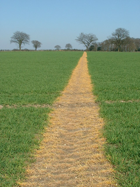
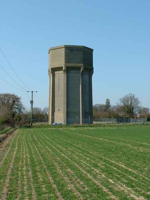
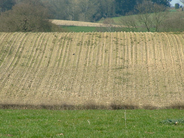
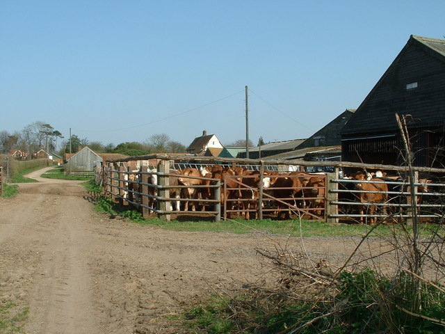
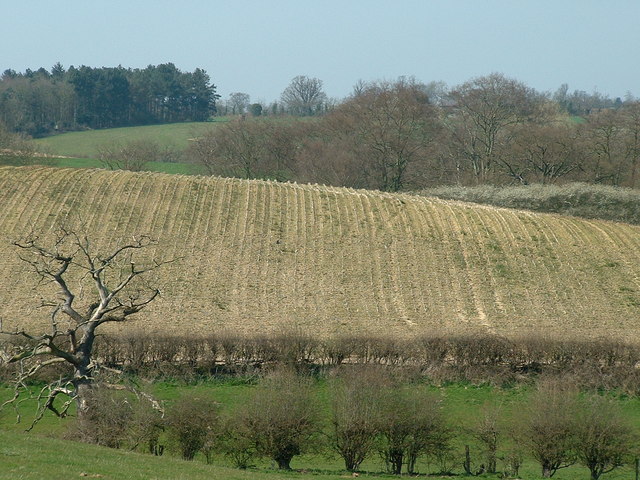
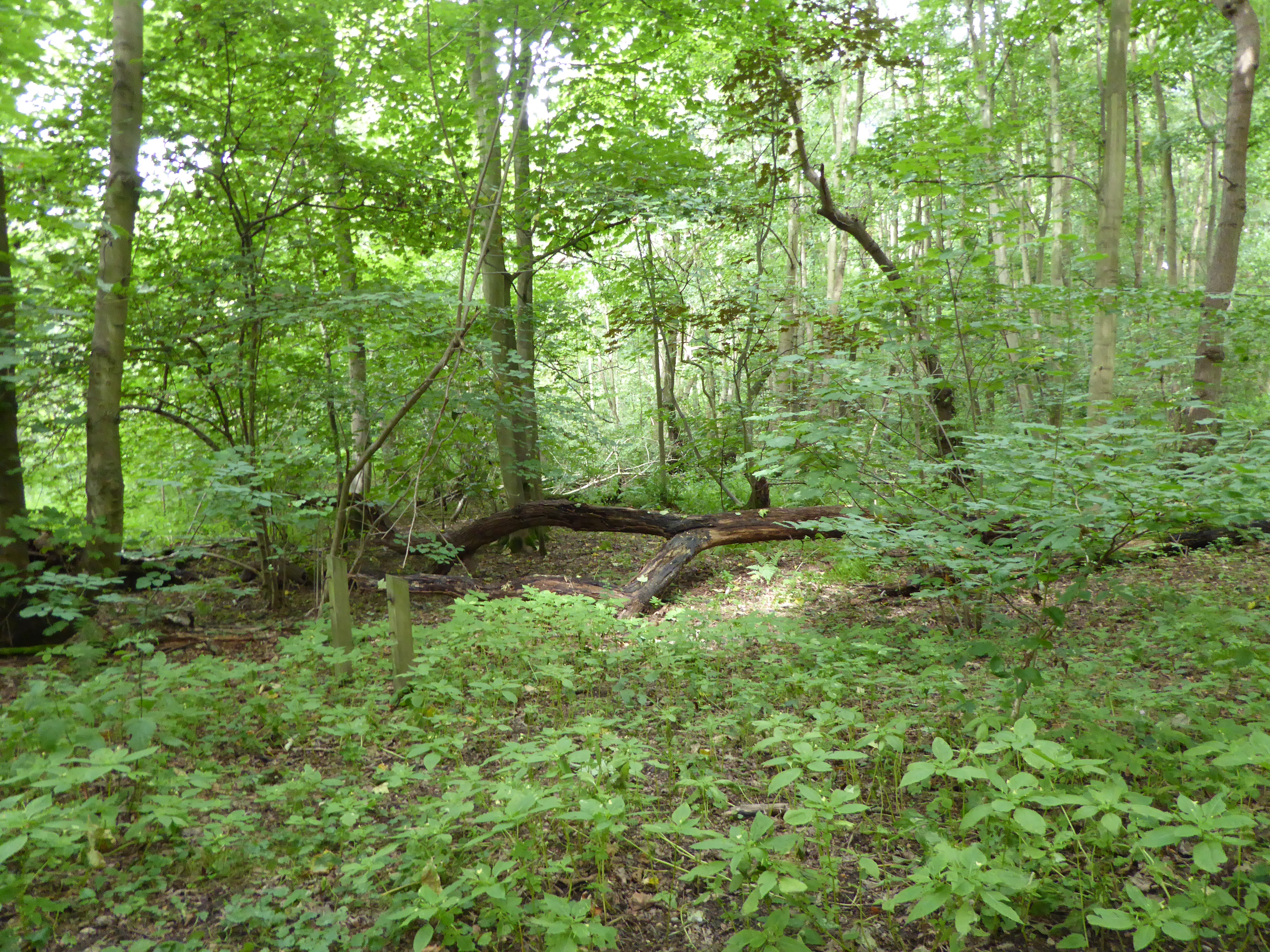
The hill itself offers a picturesque landscape, characterized by gentle slopes and a diverse range of vegetation. The surrounding area is predominantly rural, with lush fields and meadows stretching out in all directions. Freston Hill stands as a prominent feature in this otherwise flat region, providing visitors with stunning panoramic views of the surrounding countryside.
In addition to its natural beauty, Freston Hill also holds historical significance. The hill is home to the remains of a Norman motte-and-bailey castle, which dates back to the 11th century. This castle played a crucial role in the defense of the region during the Norman conquest of England. Today, the remnants of the castle serve as a reminder of the area's rich history and attract history enthusiasts.
Freston Hill is easily accessible, with footpaths and trails leading up to its summit. It offers a peaceful and tranquil environment for walkers, hikers, and nature lovers to explore. The hill's natural beauty, combined with its historical importance, makes it a popular destination for both locals and tourists seeking to immerse themselves in the scenic countryside of Suffolk.
If you have any feedback on the listing, please let us know in the comments section below.
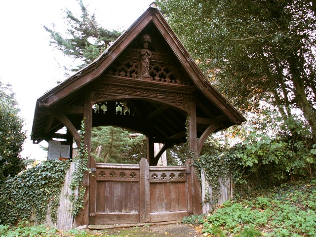
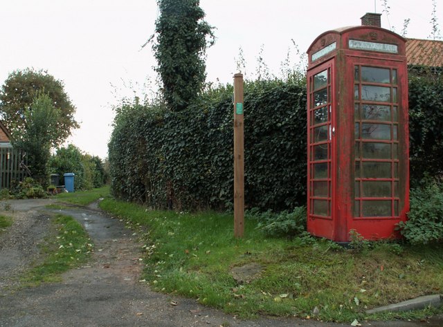
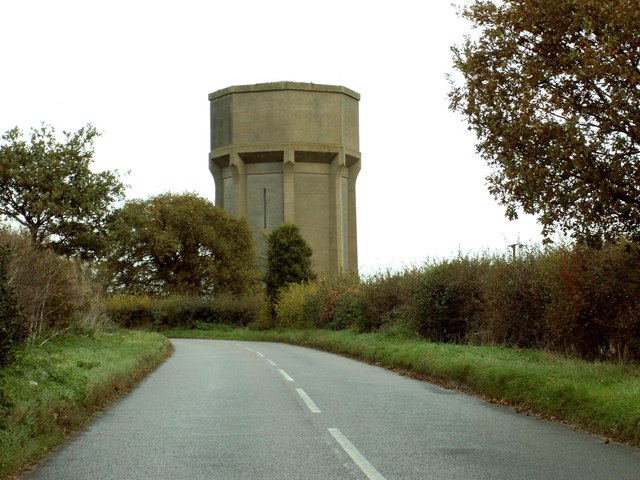
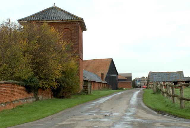
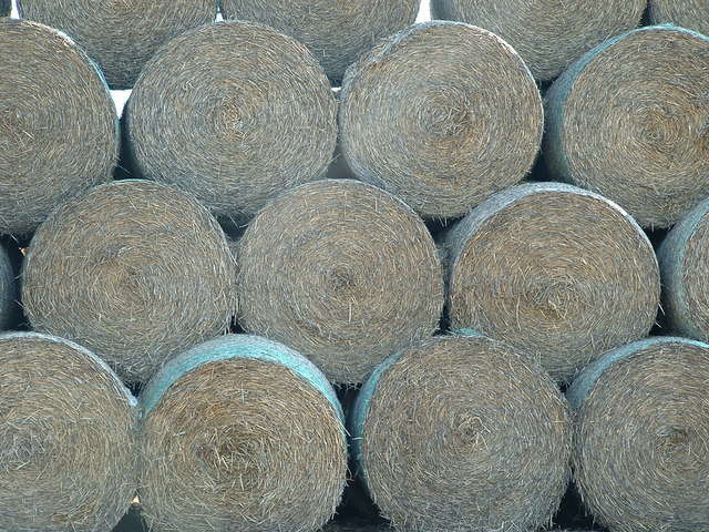
Freston Hill Images
Images are sourced within 2km of 52.014006/1.167468 or Grid Reference TM1739. Thanks to Geograph Open Source API. All images are credited.


Freston Hill is located at Grid Ref: TM1739 (Lat: 52.014006, Lng: 1.167468)
Administrative County: Suffolk
District: Babergh
Police Authority: Suffolk
What 3 Words
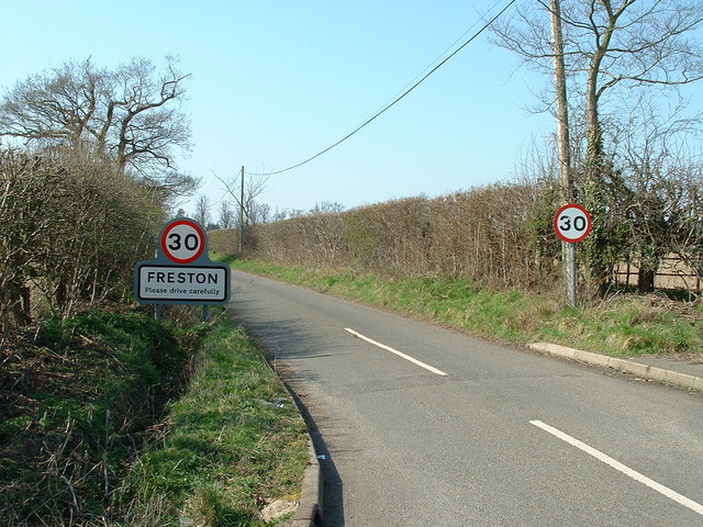
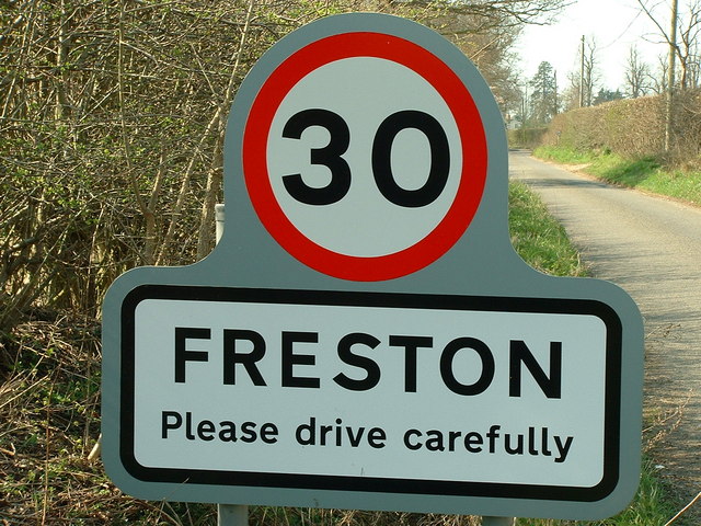
///trip.structure.abandons. Near Holbrook, Suffolk
Nearby Locations
Related Wikis

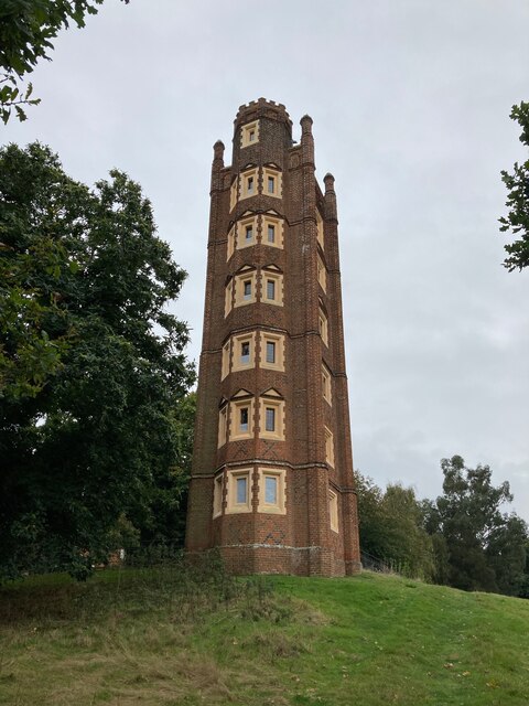
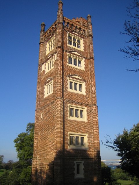
Freston Tower
Freston Tower is a six-storey red brick folly south of Ipswich, Suffolk in the village of Freston. It stands on the banks of the River Orwell. == History... ==
Freston, Suffolk
Freston is a small village and civil parish in the Babergh district, in the county of Suffolk, England, located on the Shotley Peninsula, 4 miles south...
Bridge Wood
Bridge Wood is a 31 hectare Local Nature Reserve on the southern outskirts of Ipswich in Suffolk, England. It is owned and managed by Ipswich Borough Council...

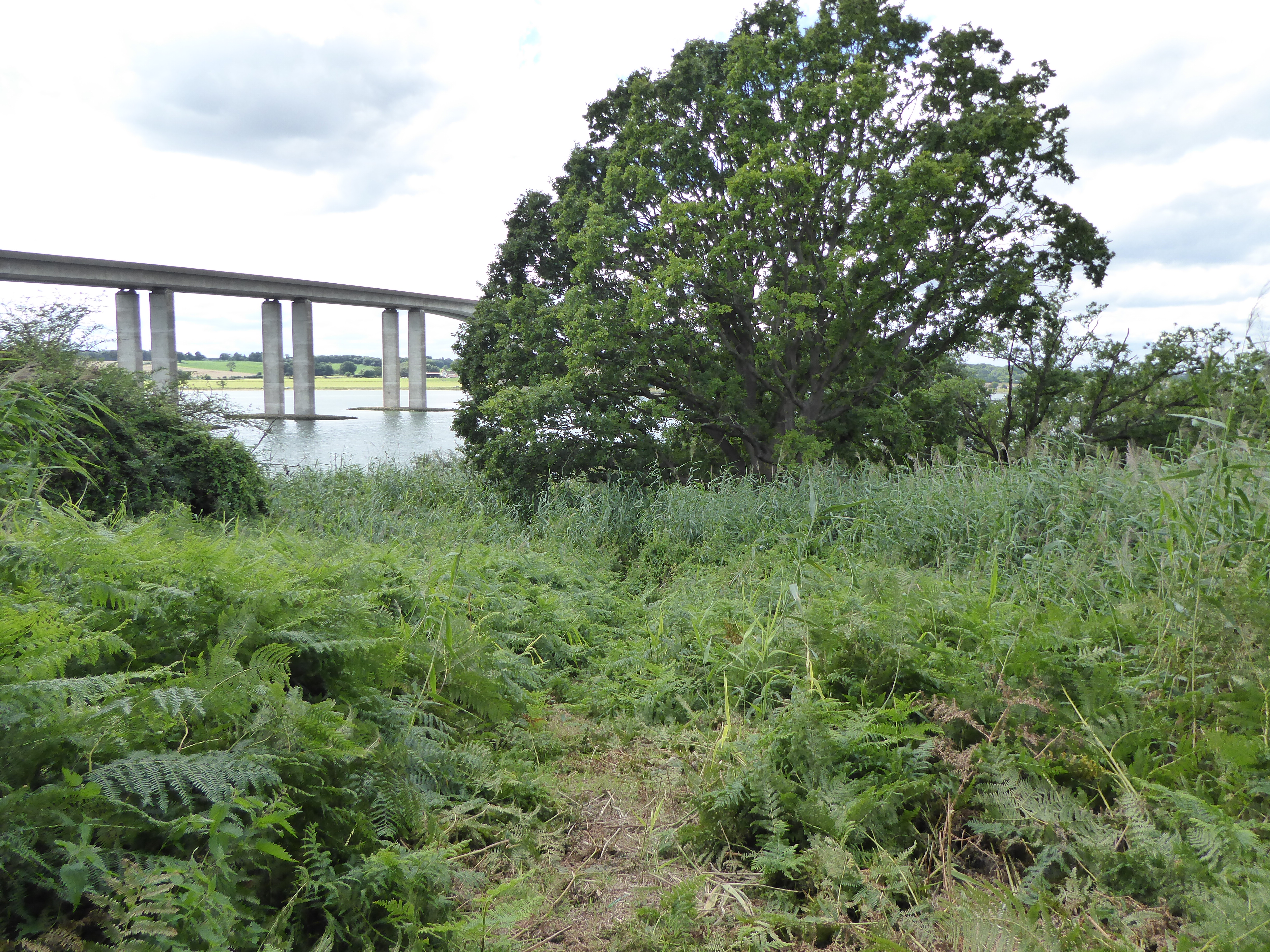
Orwell Bridge
The Orwell Bridge is a concrete box girder bridge just south of Ipswich in Suffolk, England. Opened to road traffic in 1982, the bridge carries the A14...
Pipers Vale
Pipers Vale is a 19.7 hectare Local Nature Reserve on the southern outskirts of Ipswich in Suffolk. It is owned and managed by Ipswich Borough Council...

Woolverstone
Woolverstone is a small village and civil parish in Suffolk, England located on the Shotley peninsula. It is situated about 6.4 km (4.0 mi) south of Ipswich...
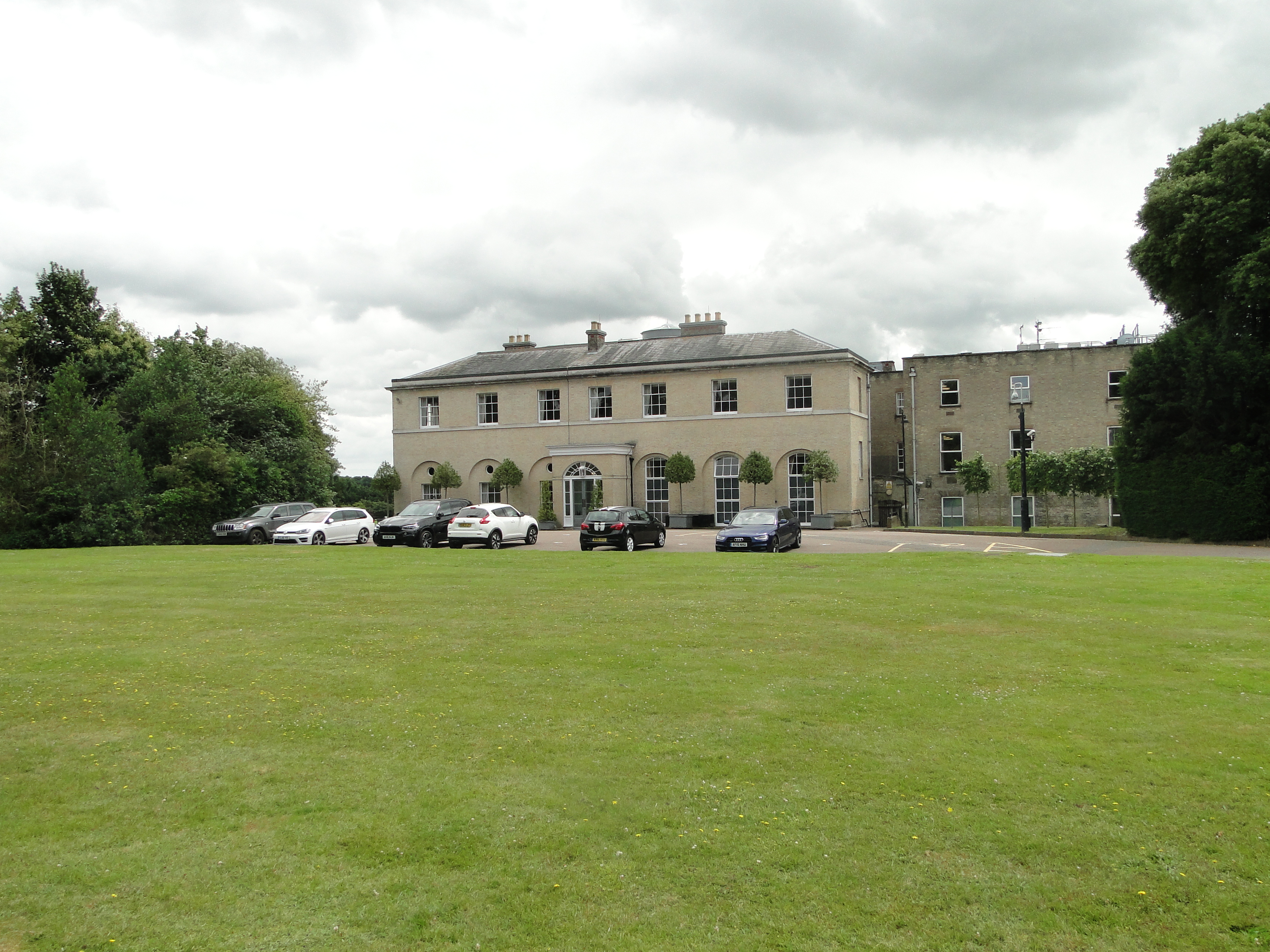
Wherstead Park
Wherstead Park Mansion in Suffolk is a house of historical significance and is listed on the English Heritage Register. It was built in 1792 for Sir Robert...

Freston and Cutler's Woods with Holbrook Park
Freston and Cutler's Woods with Holbrook Park is a 142 hectare biological Site of Special Scientific Interest south of Ipswich in Suffolk. The site is...
Nearby Amenities
Located within 500m of 52.014006,1.167468Have you been to Freston Hill?
Leave your review of Freston Hill below (or comments, questions and feedback).