Foundry Hill
Hill, Mountain in Norfolk Broadland
England
Foundry Hill
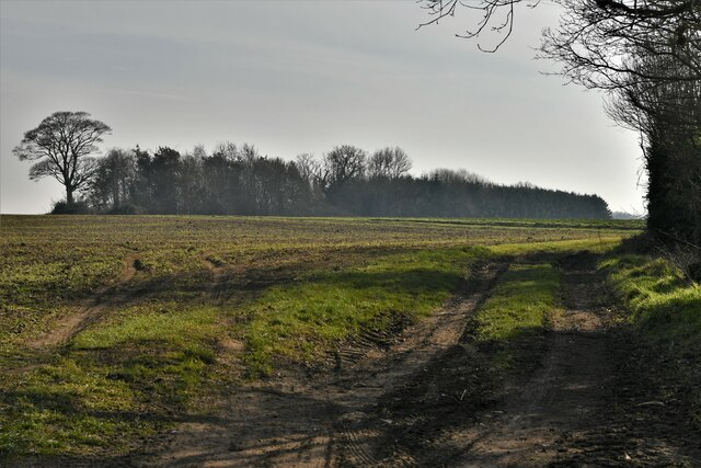
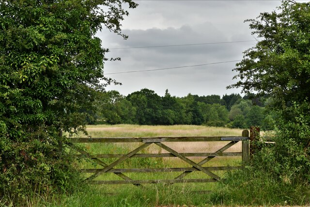
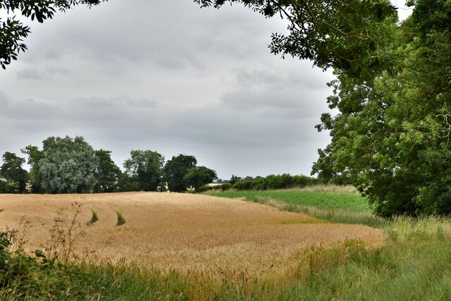
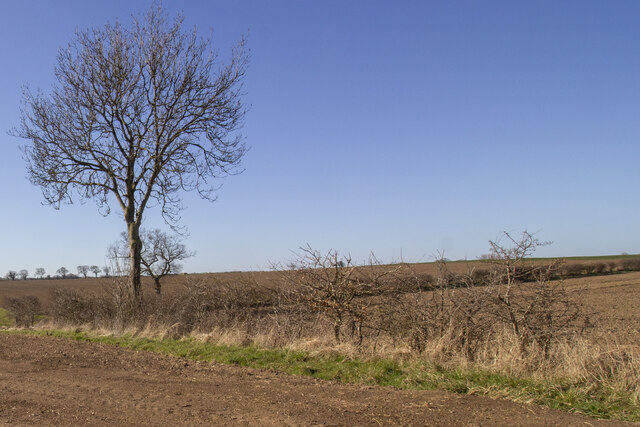
Foundry Hill is a small but prominent hill located in Norfolk, England. Situated in the eastern part of the county, it is part of the wider Norfolk Broads National Park, renowned for its picturesque landscapes and abundant wildlife. Despite its name, Foundry Hill is not a traditional hill or mountain in the conventional sense. Rather, it is a gentle incline that offers panoramic views of the surrounding countryside.
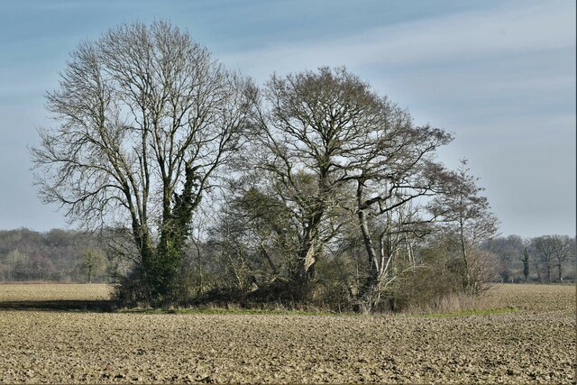
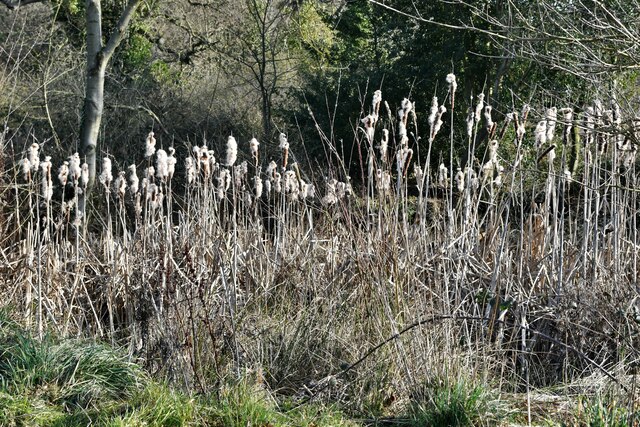
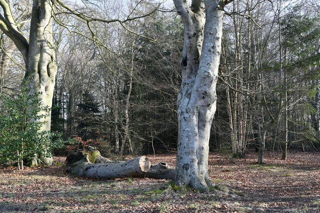
Rising approximately 50 meters above sea level, Foundry Hill is covered in lush greenery, including a mix of deciduous and coniferous trees. This creates a stunning backdrop throughout the year, with vibrant colors during autumn and a fresh, verdant appearance in spring and summer. The hill is also home to a diverse array of plant and animal species, including rare orchids and various bird species, making it a popular spot for nature enthusiasts.
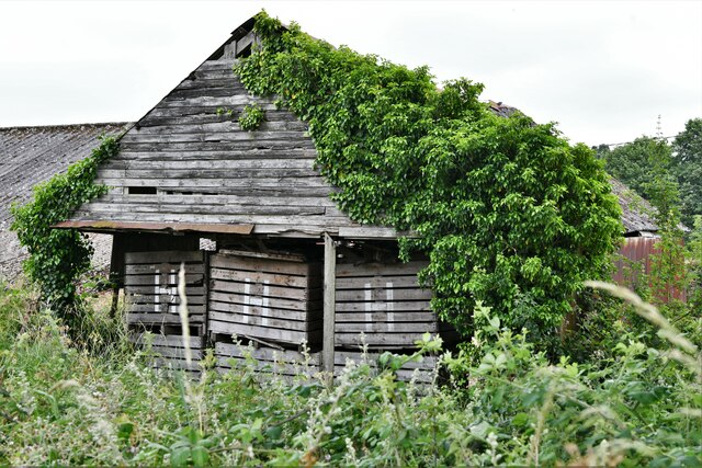
The name "Foundry Hill" comes from the area's historical association with metalworking. In the past, there were several foundries nearby, which played a significant role in the local economy. While these foundries are no longer in operation, the name has endured, reminding visitors of the region's industrial heritage.
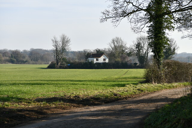
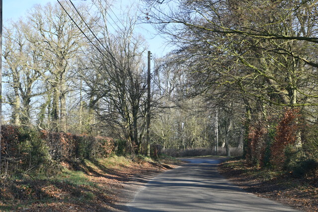
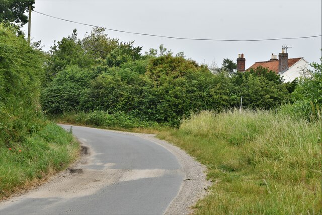
Foundry Hill is a popular destination for outdoor activities such as hiking, picnicking, and birdwatching. A network of well-maintained footpaths and trails allow visitors to explore the surrounding countryside, immersing themselves in the tranquil beauty of Norfolk. Whether one is seeking a peaceful escape or an opportunity to appreciate the region's natural wonders, Foundry Hill offers a serene and scenic experience for all who visit.
If you have any feedback on the listing, please let us know in the comments section below.
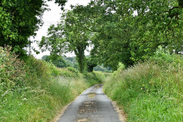
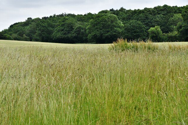
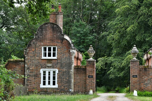
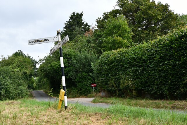
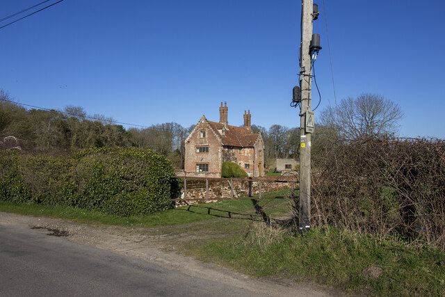
Foundry Hill Images
Images are sourced within 2km of 52.81753/1.1037688 or Grid Reference TG0928. Thanks to Geograph Open Source API. All images are credited.
Foundry Hill is located at Grid Ref: TG0928 (Lat: 52.81753, Lng: 1.1037688)
Administrative County: Norfolk
District: Broadland
Police Authority: Norfolk
What 3 Words
///unfilled.slipped.panels. Near Briston, Norfolk
Nearby Locations
Related Wikis

Thurning, Norfolk
Thurning is a small dispersed village and civil parish in the English county of Norfolk and district of North Norfolk, near the border with Broadland....

Wood Dalling
Wood Dalling is a village and civil parish in Norfolk, England. It is located 8 miles (13 km) south of Holt and 3 miles (4.8 km) north of Reepham, the...

Corpusty and Saxthorpe railway station
Corpusty and Saxthorpe railway station was a railway station in the North Norfolk village of Corpusty. It was opened by the Eastern & Midlands Railway...

Heydon, Norfolk
Heydon is a village and civil parish in Norfolk, England. It is located 3 miles (4.8 km) north of the market town of Reepham. The village can be accessed...

Saxthorpe
Saxthorpe is a village in Norfolk, England. The village is 12 miles (19 km) west south west of Cromer and 16.3 miles (26.2 km) north north west of Norwich...

Guestwick
Guestwick is a village and a civil parish in the English county of Norfolk. The village is 19.6 miles (31.5 km) south-west of Cromer, 18.7 miles (30.1...

Nethergate, Norfolk
Nethergate is a hamlet within the civil parish of Hindolveston in the English county of Norfolk. The hamlet is 15.9 miles (25.6 km) west-south-west of...

Oulton, Norfolk
Oulton is a village and civil parish in Norfolk, England. Nearby towns are Reepham and Aylsham. The parish covers an area of 10.58 km2 (4.08 sq mi) and...
Nearby Amenities
Located within 500m of 52.81753,1.1037688Have you been to Foundry Hill?
Leave your review of Foundry Hill below (or comments, questions and feedback).