Twenty Acre Hill

Hill, Mountain in Norfolk North Norfolk

England

Twenty Acre Hill

Track towards Pond Hills
Track towards Pond Hills Credit: Hugh Venables

Twenty Acre Hill, located in Norfolk, England, is a prominent hill that offers stunning panoramic views of the surrounding countryside. Situated in the eastern region of the county, the hill is part of the Norfolk Coast Area of Outstanding Natural Beauty.

With an elevation of approximately 66 meters (216 feet), Twenty Acre Hill is not classified as a mountain, but rather a notable hill in the area. It is a popular destination for nature lovers, hikers, and photographers, who are drawn to its picturesque landscapes and unspoiled beauty.

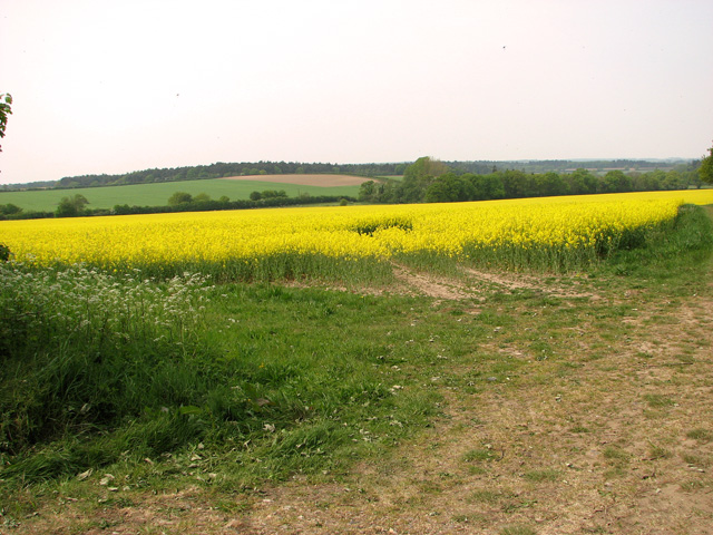
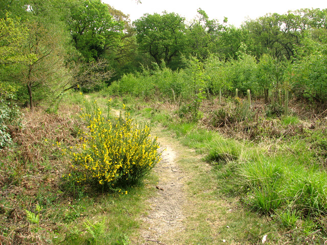
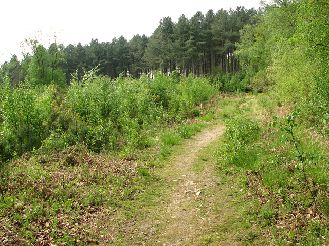
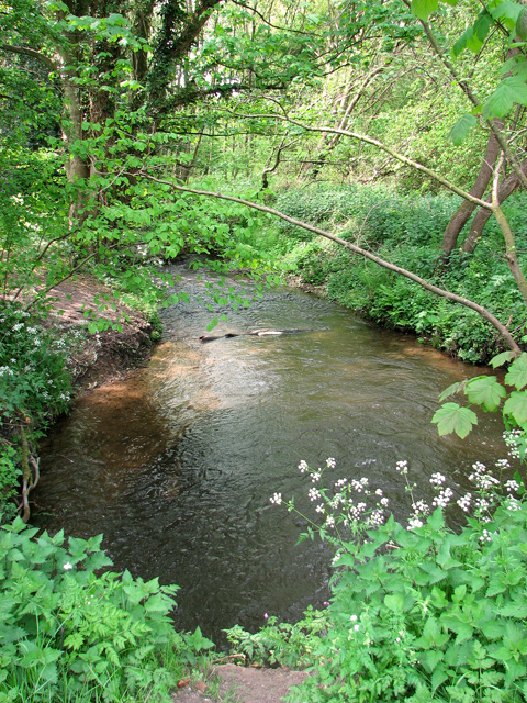
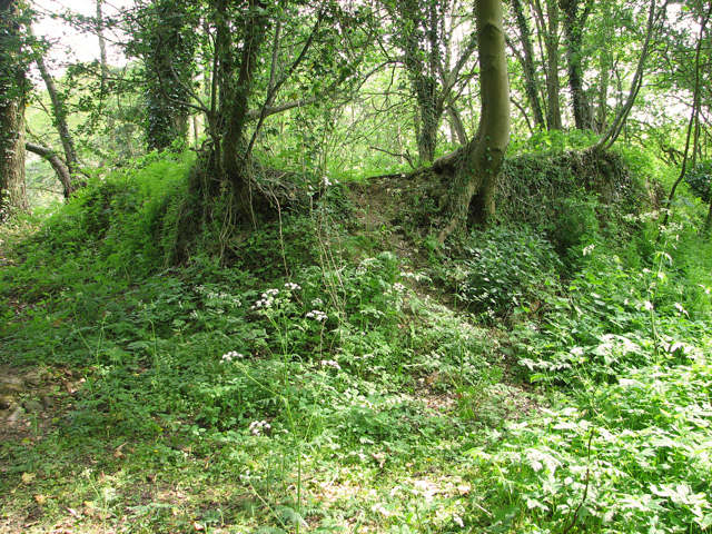
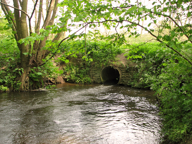
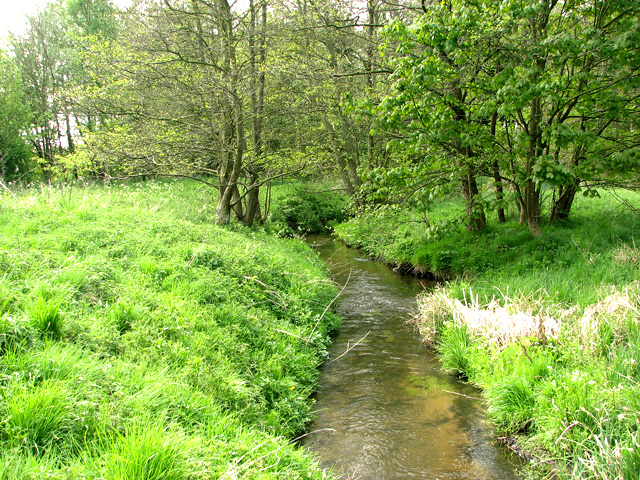
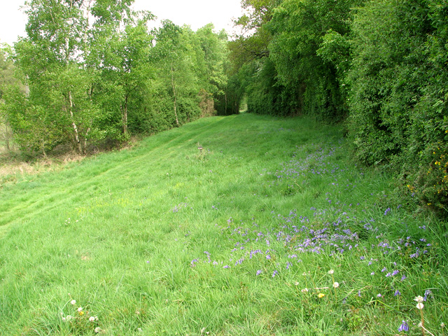
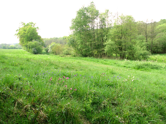
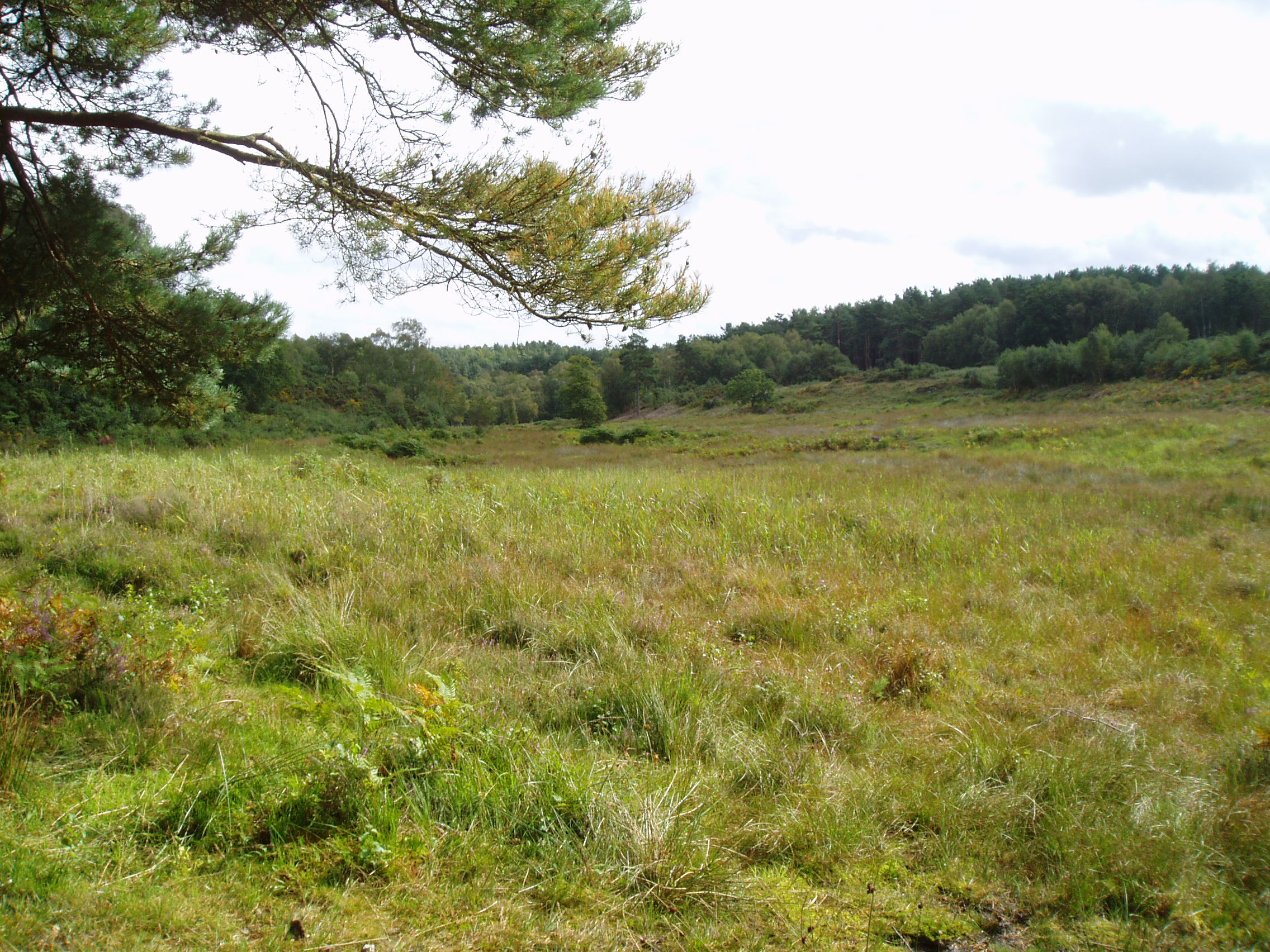
The hill is covered in lush greenery, featuring a diverse range of flora and fauna. It is predominantly covered in grasslands, with scattered trees and shrubs dotting the landscape. In spring, the hill is awash with vibrant wildflowers, creating a colorful spectacle for visitors.

The highlight of Twenty Acre Hill is undoubtedly the breathtaking views it offers. From the summit, visitors can enjoy panoramic vistas of the surrounding countryside, including the rolling hills, meandering rivers, and charming villages that make up the Norfolk landscape.

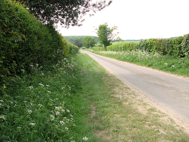
The hill is easily accessible, with a well-marked trail leading to the top. It is a popular spot for outdoor activities such as hiking, picnicking, and birdwatching. The tranquil and serene atmosphere makes it an ideal location for relaxation and contemplation.

Overall, Twenty Acre Hill is a natural gem in Norfolk, offering visitors a chance to immerse themselves in the beauty of the English countryside and enjoy awe-inspiring views that will leave a lasting impression.

If you have any feedback on the listing, please let us know in the comments section below.

Twenty Acre Hill Images

Images are sourced within 2km of 52.887626/1.1087325 or Grid Reference TG0936. Thanks to Geograph Open Source API. All images are credited.

Track towards Pond Hills
Hole Farm Road
Hole Farm Road
Stubble field by Hole Farm Road
View from Bunker's Hill, Edgefield
Wildlife conservation area on Bunker's Hill, Edgefield
Country lane by Bunker's Hill, Edgefield
A clearing in Edgefield Woods
Public footpath through Edgefield Woods
Path descending into the Glaven valley
Track through Edgefield Woods
Flowering broom beside the path through Edgefield Woods
A stand of young birches in Edgefield Woods
The River Glaven east of Edgefield Woods Edgefield mill used to be situated right beside it (at left, out of shot).
The River Glaven east of Edgefield Woods
Edgefield mill used to be situated right beside it (at left, out of shot).
The site of Edgefield Mill Edgefield mill is a lost watermill on the east bank of the River Glaven.  It was situated at a location locally known as Smokers Hole and adjoined by two single-storey cottages (called Mill Cottages). Older maps mark the site of the cottages as the location of Mill House. The trees seen in this picture are growing on what remains of the walls. During the war a legendary character known as Long Sal lived here.
The site of Edgefield Mill
Edgefield mill is a lost watermill on the east bank of the River Glaven. It was situated at a location locally known as Smokers Hole and adjoined by two single-storey cottages (called Mill Cottages). Older maps mark the site of the cottages as the location of Mill House. The trees seen in this picture are growing on what remains of the walls. During the war a legendary character known as Long Sal lived here.
The site of Edgefield Mill Edgefield mill is a lost watermill on the east bank of the River Glaven. The bridge which now carries a footpath over the river still has some remains of the old brickwork (at left). The mill and adjoining house were situated immediately to the east (right, out of shot) from here. No sign remains of the mill but some of the mill house's/cottages' walls remain > <a title="https://www.geograph.org.uk/photo/2394590" href="https://www.geograph.org.uk/photo/2394590">Link</a> albeit very overgrown.

This location was locally known as Smokers Hole. The mill was adjoined by two single-storey cottages (called Mill Cottages) but older maps mark the site of the cottages as the location of Mill House. During the war a legendary character known as Long Sal lived here.
The site of Edgefield Mill
Edgefield mill is a lost watermill on the east bank of the River Glaven. The bridge which now carries a footpath over the river still has some remains of the old brickwork (at left). The mill and adjoining house were situated immediately to the east (right, out of shot) from here. No sign remains of the mill but some of the mill house's/cottages' walls remain > Link albeit very overgrown. This location was locally known as Smokers Hole. The mill was adjoined by two single-storey cottages (called Mill Cottages) but older maps mark the site of the cottages as the location of Mill House. During the war a legendary character known as Long Sal lived here.
The River Glaven east of Edgefield Woods
Private farm track alongside the River Glaven
The Glaven valley east of Edgefield Woods
Show me another place!

Twenty Acre Hill is located at Grid Ref: TG0936 (Lat: 52.887626, Lng: 1.1087325)

Administrative County: Norfolk

District: North Norfolk

Police Authority: Norfolk

What 3 Words

///modifies.engage.sometime. Near Briston, Norfolk

Nearby Locations

Twenty Acre Hill

Related Wikis

Holt Lowes

Holt Lowes is a 49.9-hectare (123-acre) biological Site of Special Scientific Interest west of Cromer in Norfolk. It is a Nature Conservation Review site...

Hempstead, near Holt, Norfolk

There is also a village called Hempstead near Stalham, also in North Norfolk.Hempstead is a village and civil parish in the north of the English county...
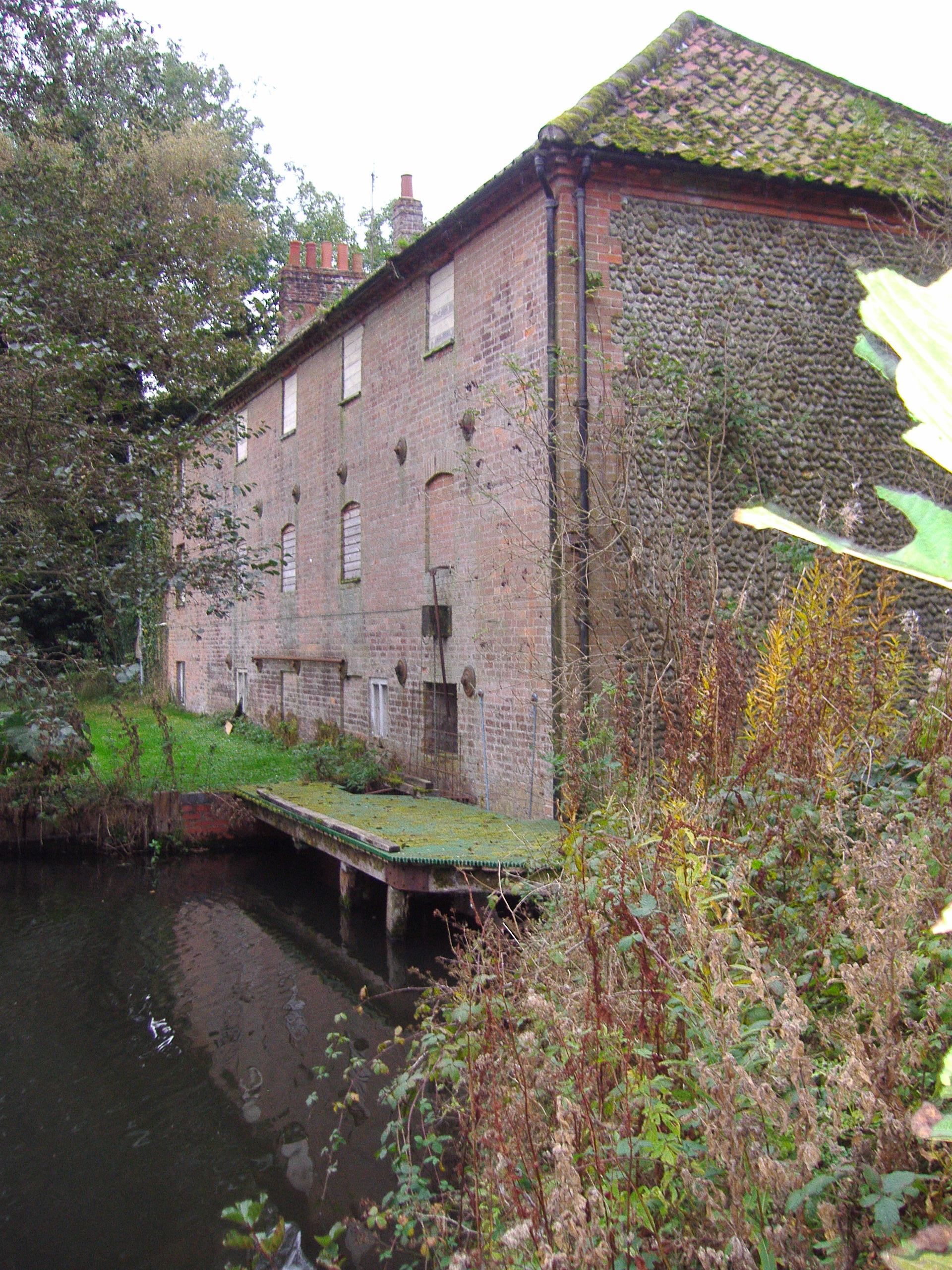
Hempstead Watermill

Hempstead Watermill is a disused watermill 1.7 miles south east of the town of Holt in the English county of Norfolk. The mill stands on the River Glaven...
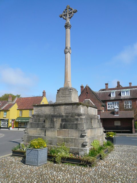
Holt, Norfolk

Holt is a market town, civil parish and electoral ward in the English county of Norfolk. The town is 22.8 miles (36.7 km) north of the city of Norwich...

Holt railway station

Holt railway station was a railway station that served the town of Holt in Norfolk, England. It was part of the Midland and Great Northern Joint Railway...
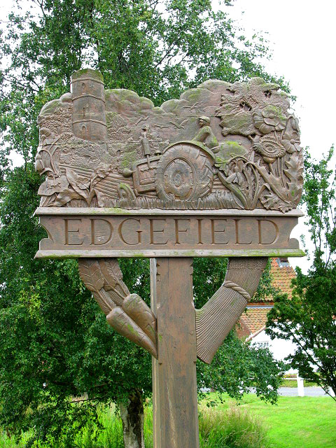
Edgefield, Norfolk

Edgefield is a village and a civil parish in the English county of Norfolk. The village is located 3.3 miles (5.3 km) south of Holt, 3.3 miles (5.3 km...

Gresham's School

Gresham's School is a public school (English fee-charging boarding and day school) in Holt, Norfolk, England, one of the top thirty International Baccalaureate...

Farfield

Farfield is one of the seven boarding houses at Gresham's, an English public school at Holt, Norfolk. Farfield is currently home to approximately fifty...

Nearby Amenities

Located within 500m of 52.887626,1.1087325
Power: pole
Lat/Long: 52.8860937/1.1022267
Power: pole
Lat/Long: 52.8872847/1.1026856
Power: pole
Lat/Long: 52.8883893/1.1031644
Power: pole
Lat/Long: 52.8895885/1.1038685
Power: pole
Lat/Long: 52.8908054/1.1045913
The data included in this document is from www.openstreetmap.org. The data is made available under ODbL.

Have you been to Twenty Acre Hill?

Leave your review of Twenty Acre Hill below (or comments, questions and feedback).