Foundry Hill
Settlement in Norfolk Broadland
England
Foundry Hill
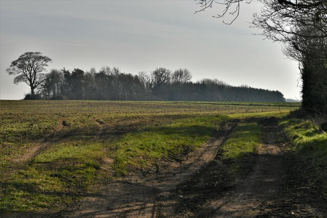
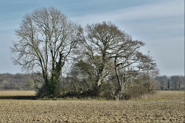
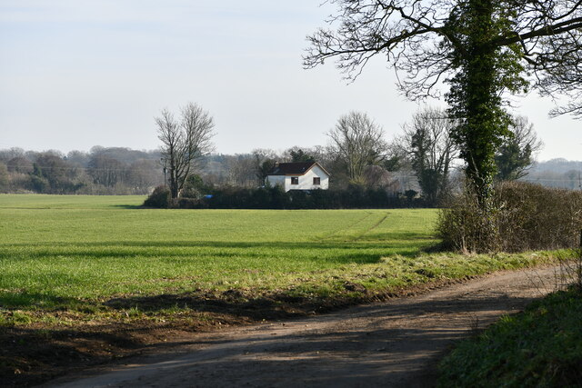
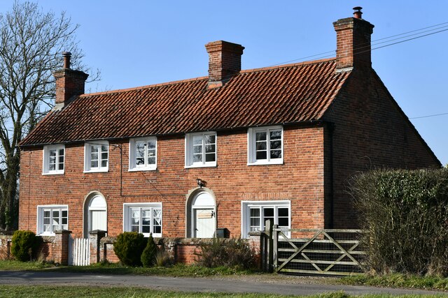
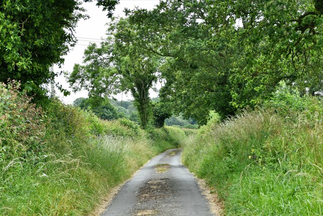
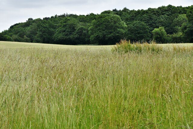
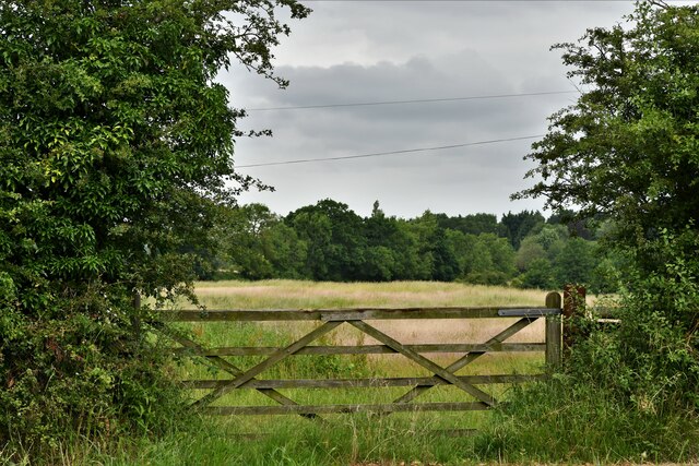
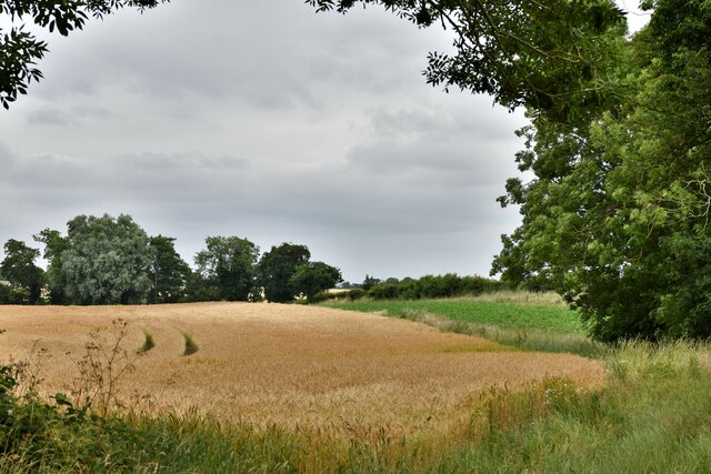
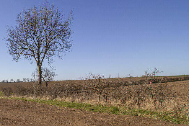
Foundry Hill is a small village situated in the county of Norfolk, England. It is located about 12 miles southwest of the city of Norwich and is part of the South Norfolk district. This tranquil village is surrounded by picturesque countryside, offering stunning views and a peaceful atmosphere.
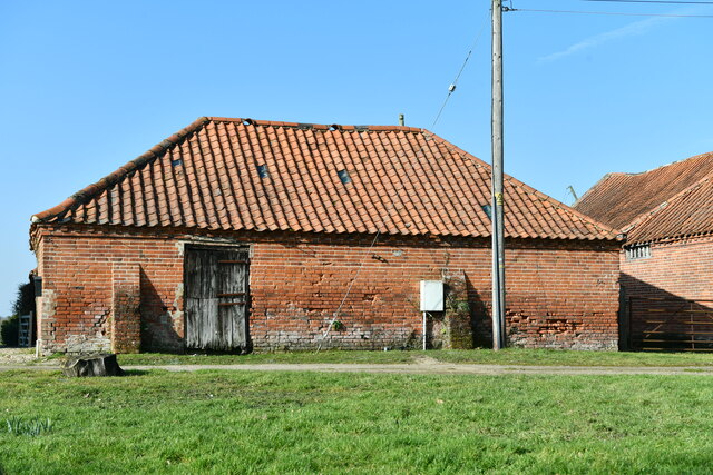
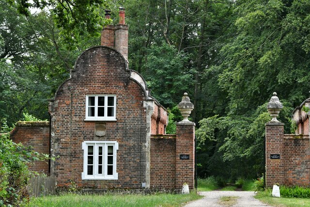
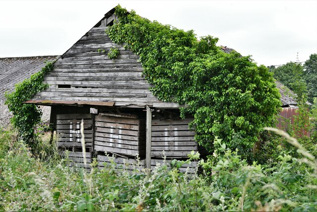
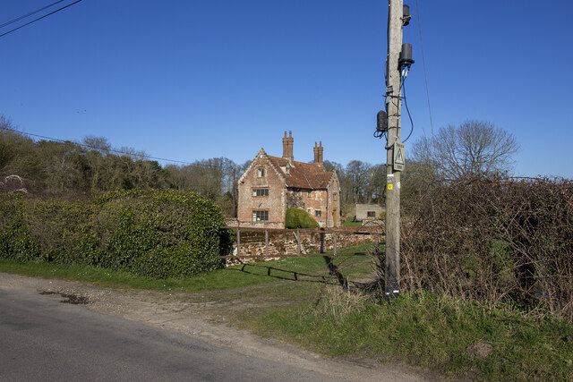
The name Foundry Hill is derived from its historical association with metalworking foundries that were once situated in the area. Today, the village retains its traditional charm and character through its well-preserved historic buildings, including quaint cottages and a charming church that dates back to the 12th century.
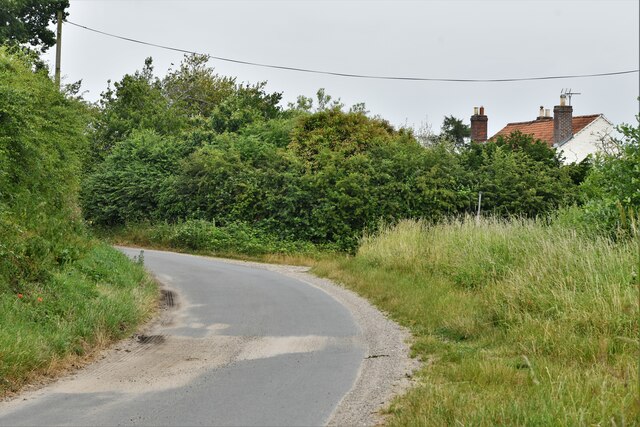
With a population of approximately 500 residents, Foundry Hill offers a close-knit community feel. The village boasts a range of amenities to cater to the needs of its residents, including a local convenience store, a post office, and a primary school. Additionally, there are several recreational facilities, such as a village hall and a playing field, where residents can engage in various activities and events.
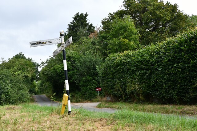
Foundry Hill is well-connected to nearby towns and cities through a reliable network of roads and public transportation. The village provides easy access to the A140 road, which connects it to Norwich and other major towns in the region. This makes it convenient for residents to commute to work or explore the wider area.
Overall, Foundry Hill offers a peaceful and picturesque setting, making it an ideal place for those seeking a tranquil village lifestyle within easy reach of urban amenities.
If you have any feedback on the listing, please let us know in the comments section below.
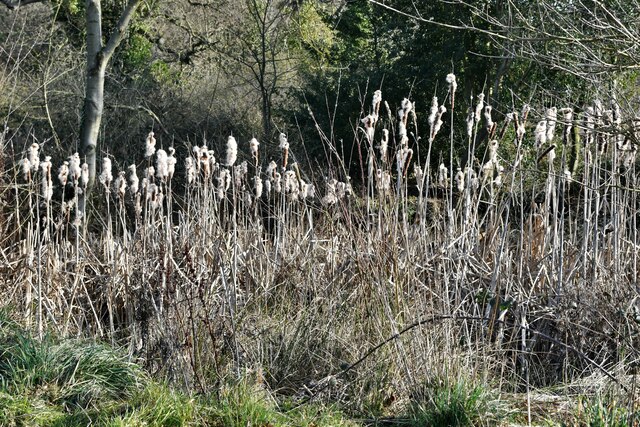
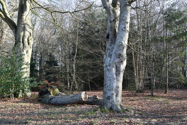
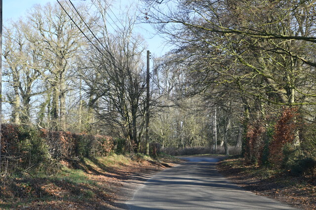
Foundry Hill Images
Images are sourced within 2km of 52.81655/1.103041 or Grid Reference TG0928. Thanks to Geograph Open Source API. All images are credited.
Foundry Hill is located at Grid Ref: TG0928 (Lat: 52.81655, Lng: 1.103041)
Administrative County: Norfolk
District: Broadland
Police Authority: Norfolk
What 3 Words
///amphibian.dialects.spokes. Near Briston, Norfolk
Nearby Locations
Related Wikis

Thurning, Norfolk
Thurning is a small dispersed village and civil parish in the English county of Norfolk and district of North Norfolk, near the border with Broadland....

Wood Dalling
Wood Dalling is a village and civil parish in Norfolk, England. It is located 8 miles (13 km) south of Holt and 3 miles (4.8 km) north of Reepham, the...

Corpusty and Saxthorpe railway station
Corpusty and Saxthorpe railway station was a railway station in the North Norfolk village of Corpusty. It was opened by the Eastern & Midlands Railway...

Heydon, Norfolk
Heydon is a village and civil parish in Norfolk, England. It is located 3 miles (4.8 km) north of the market town of Reepham. The village can be accessed...

Saxthorpe
Saxthorpe is a village in Norfolk, England. The village is 12 miles (19 km) west south west of Cromer and 16.3 miles (26.2 km) north north west of Norwich...

Guestwick
Guestwick is a village and a civil parish in the English county of Norfolk. The village is 19.6 miles (31.5 km) south-west of Cromer, 18.7 miles (30.1...

Nethergate, Norfolk
Nethergate is a hamlet within the civil parish of Hindolveston in the English county of Norfolk. The hamlet is 15.9 miles (25.6 km) west-south-west of...

Salle, Norfolk
Salle ( SAWL) is a small village and civil parish in the Broadland district, in the county of Norfolk, England. 1.5 miles (2.4 km) to the south is the...
Nearby Amenities
Located within 500m of 52.81655,1.103041Have you been to Foundry Hill?
Leave your review of Foundry Hill below (or comments, questions and feedback).