Beacon Hill
Hill, Mountain in Kent Swale
England
Beacon Hill
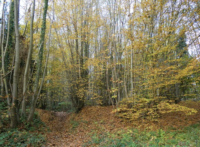
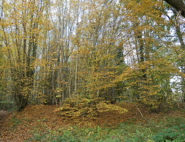
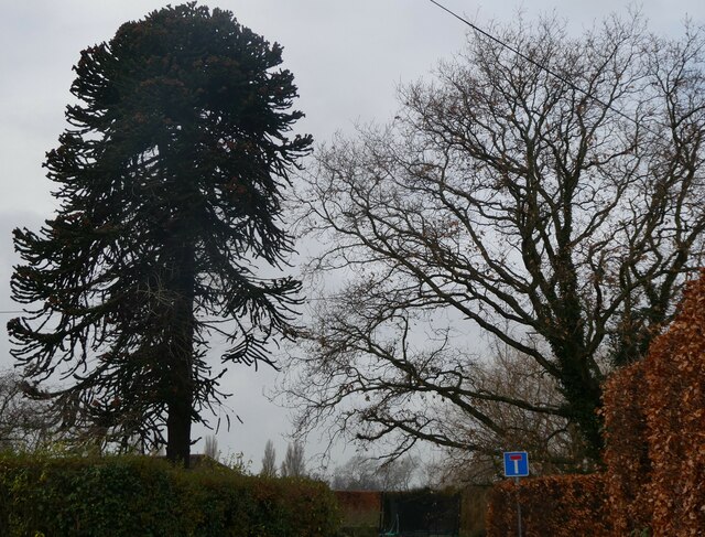
Beacon Hill, located in Kent, England, is a prominent hill and natural landmark that stands at an elevation of approximately 243 meters (797 feet). Situated near the village of Elham, this hill is a part of the North Downs, a ridge of chalk hills that stretches across several counties in Southeast England.
The hill's name, Beacon Hill, originates from its historical significance as a location for beacons, which were used in the past to relay important messages or signals across long distances. With its commanding position, Beacon Hill served as an ideal vantage point to warn of impending dangers, such as invasions or fires.
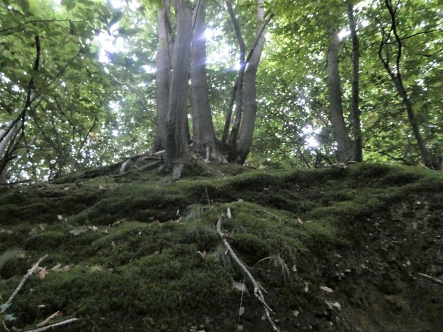
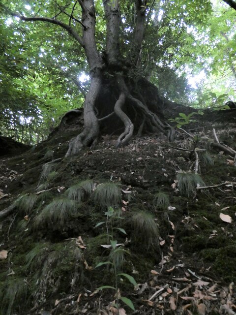
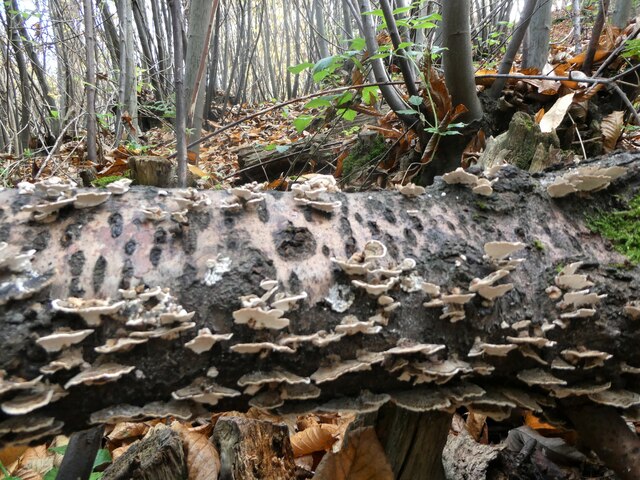
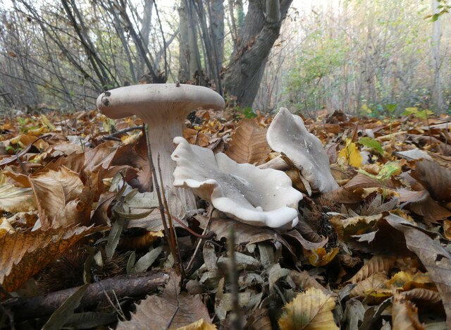
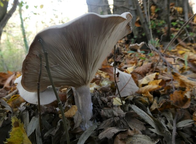
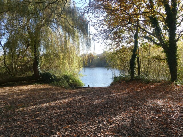
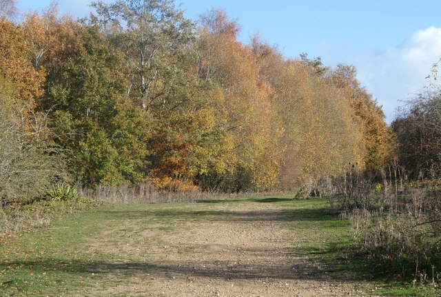
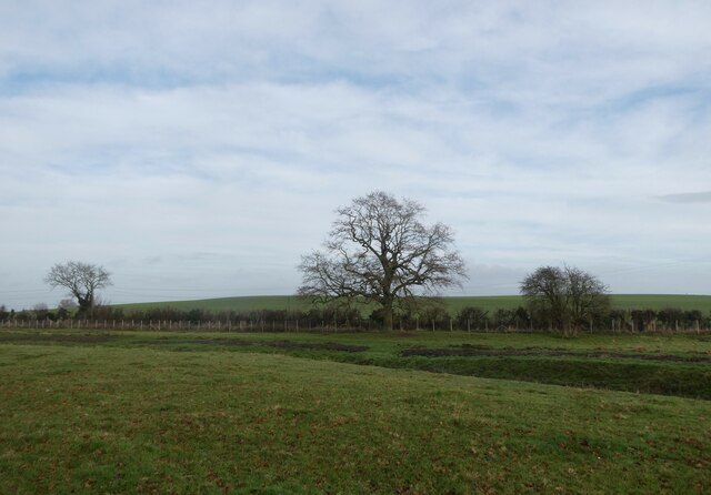
From the summit of Beacon Hill, visitors are rewarded with panoramic views of the surrounding countryside. On clear days, it is possible to see as far as the English Channel and the white cliffs of Dover. The hill is also home to a diverse range of flora and fauna, including wildflowers, butterflies, and various bird species.
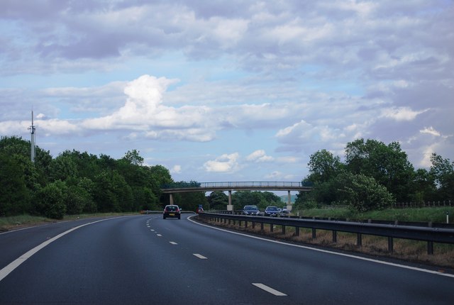
Beacon Hill offers a variety of recreational opportunities for outdoor enthusiasts. There are several walking trails and footpaths that wind through the hill's wooded slopes, providing ample opportunities for hiking and nature exploration. Additionally, the hill is a popular spot for paragliding and hang gliding, with enthusiasts flocking to its slopes to enjoy the thrill of soaring through the air.
Overall, Beacon Hill, Kent, is a picturesque natural landmark that offers breathtaking views, a rich historical heritage, and a range of outdoor activities, making it a popular destination for both locals and tourists alike.
If you have any feedback on the listing, please let us know in the comments section below.
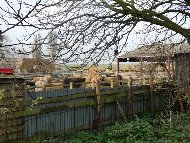
Beacon Hill Images
Images are sourced within 2km of 51.320399/0.85226203 or Grid Reference TQ9861. Thanks to Geograph Open Source API. All images are credited.

Beacon Hill is located at Grid Ref: TQ9861 (Lat: 51.320399, Lng: 0.85226203)
Administrative County: Kent
District: Swale
Police Authority: Kent
What 3 Words
///contemplate.incurring.traffic. Near Faversham, Kent
Nearby Locations
Related Wikis

Durolevum
Durolevum was a Roman settlement in Britain. The only surviving mention of it from antiquity appears in the Antonine Itinerary, where it forms part of...
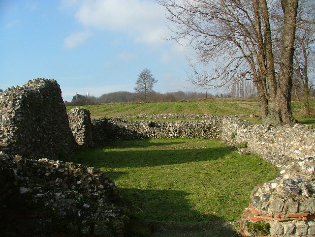
Faversham Stone Chapel
Faversham Stone Chapel also known as Our Lady of Elwarton, is a medieval chapel built on top of a Romano-British mausoleum. The chapel is located in what...
Buckland-by-Faversham
Buckland-by-Faversham was one of the parishes to the south-west of Faversham in Kent, England. It is now part of Faversham town. The parish church no longer...

St Mary's Church, Luddenham
St Mary's Church is a redundant Anglican church in the village of Luddenham, Kent, England. It is recorded in the National Heritage List for England as...

Luddenham, Kent
Luddenham is a widespread hamlet or small village north-west of Faversham in Kent, England, with many long-distance views across the Swale and the Isle...
Mockbeggar, Swale
Mockbeggar is a hamlet lying north of the A2 road to the east of Teynham in Swale in Kent, England. It is in the civil parish of Norton, Buckland and Stone...
Faversham Without
Faversham Without is a former civil parish, located around Faversham in the Swale district, in the county of Kent, in southeast England. It was founded...

Maison Dieu, Faversham
Maison Dieu ('House of God') is a hospital, monastery, hostel, retirement home and royal lodge commissioned by Henry III in 1234. The timber framed building...
Nearby Amenities
Located within 500m of 51.320399,0.85226203Have you been to Beacon Hill?
Leave your review of Beacon Hill below (or comments, questions and feedback).