America Hill

Hill, Mountain in Essex Colchester

England

America Hill

Langham Road, Horkesley Heath
Langham Road, Horkesley Heath Credit: David Howard

America Hill, Essex, also known as Hill Mountain, is a prominent geographic feature located in the county of Essex, England. Situated near the village of Finchingfield, this hill/mountain stands at an elevation of approximately 147 meters (482 feet) above sea level, offering panoramic views of the surrounding countryside.

Rising majestically from the undulating landscape, America Hill is primarily composed of limestone and exhibits a gentle slope that gradually ascends to its peak. It is covered in lush vegetation, with a mix of trees, shrubs, and wildflowers adorning its slopes, providing a habitat for various species of birds, insects, and small mammals.

The name "America Hill" originates from the time of the American Revolutionary War when the hill was reputedly used as a lookout point by locals to monitor the movement of American forces. The name "Hill Mountain" is often preferred by locals due to its more accurate description of the terrain.

The hill/mountain has become a popular destination for hikers, nature enthusiasts, and photographers alike. Its accessible location and well-maintained trails make it an ideal spot for leisurely walks and picnics, allowing visitors to immerse themselves in the picturesque beauty of the Essex countryside.

With its commanding presence and breathtaking views, America Hill, Essex (Hill Mountain) serves as both a natural landmark and a cherished recreational area, attracting visitors from near and far to appreciate the tranquility and natural splendor it has to offer.

If you have any feedback on the listing, please let us know in the comments section below.
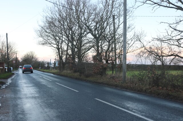
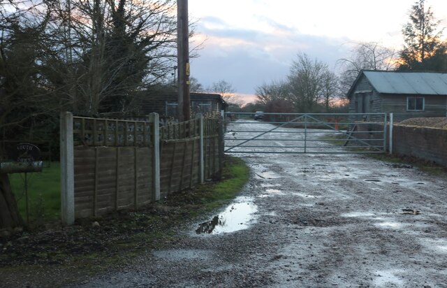
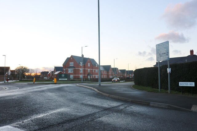
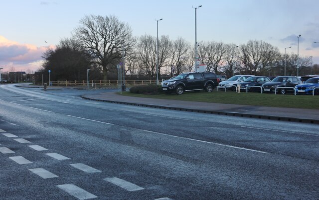
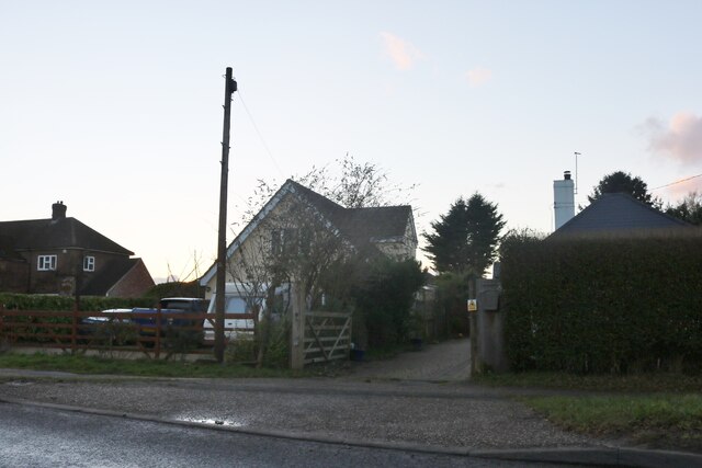
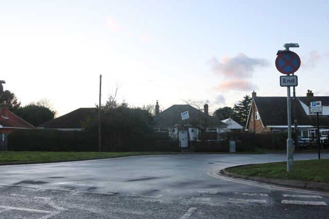
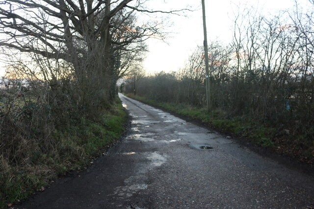
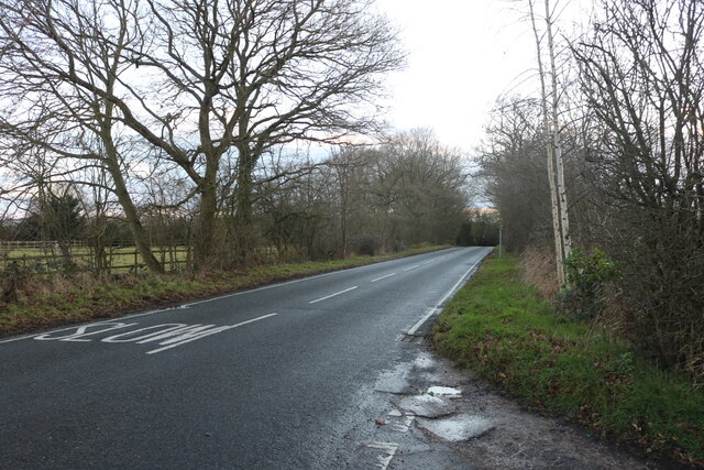
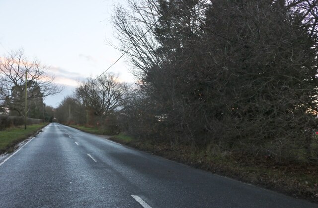
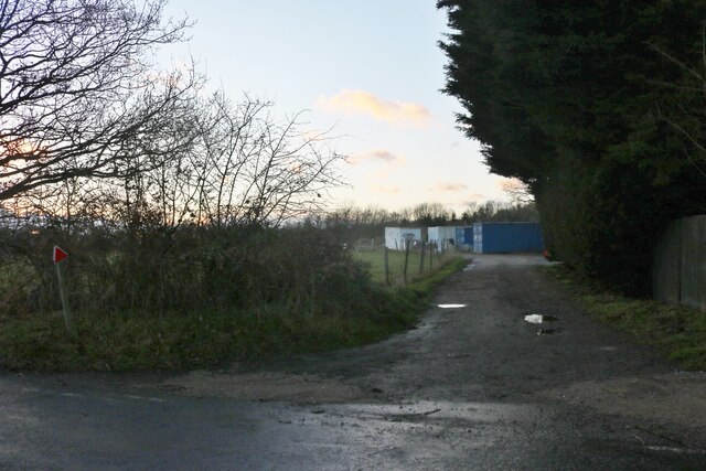
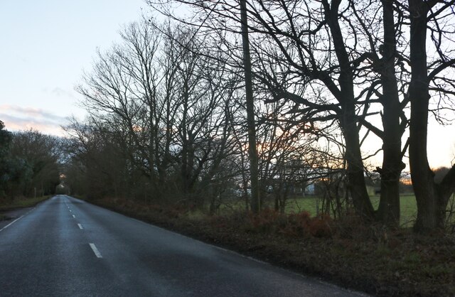
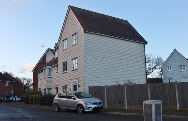
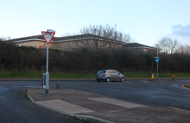
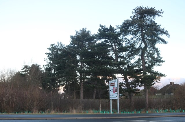
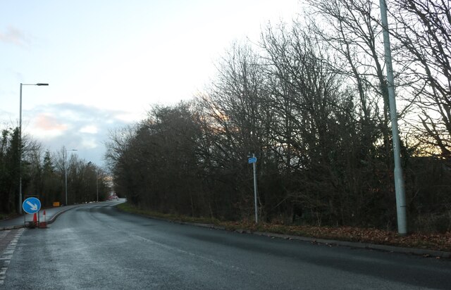
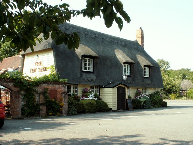
America Hill Images

Images are sourced within 2km of 51.923618/0.88602749 or Grid Reference TL9828. Thanks to Geograph Open Source API. All images are credited.

Langham Road, Horkesley Heath
Farm by Langham Road, Horkesley Heath
Boxted Road at the junction of Wildeve Avenue The flats were built around 2016
Boxted Road at the junction of Wildeve Avenue
The flats were built around 2016
Steven Eagell Toyota, Colchester
Axial Way, Colchester Steven Eagell Toyota is on the right
Axial Way, Colchester
Steven Eagell Toyota is on the right
Houses on Boxted Road, Myland
Boxted Road, Myland
Boxted Road, Myland
Accommodation Road, Horkesley Heath
Straight Road, Horkesley Heath
Field and woods by Straight Road, Horkesley Heath
Straight Road, Horkesley Heath
House on Dickenson Road, Myland
Via Urbis Romanae at the junction of Dickenson Road
Conifers by Via Urbis Romanae, Mile End
Boxted Road, Mile End
Colchester FC
Colchester FC
'The Yew Tree' inn, Great Horkesley, Essex This inn stands alongside the part of the A.134 that was originally a Roman road out of Colchester.
'The Yew Tree' inn, Great Horkesley, Essex
This inn stands alongside the part of the A.134 that was originally a Roman road out of Colchester.
Show me another place!

America Hill is located at Grid Ref: TL9828 (Lat: 51.923618, Lng: 0.88602749)

Administrative County: Essex

District: Colchester

Police Authority: Essex

What 3 Words

///hears.suppers.crumb. Near Great Horkesley, Essex

Nearby Locations

America Hill

Related Wikis

Nearby Amenities

Located within 500m of 51.923618,0.88602749
Bus Stop
Green Lane
Bench: yes
Bus: yes
Departures Board: realtime
Naptan AtcoCode: 150029001007
Naptan Bearing: SE
Naptan CommonName: Green Lane
Naptan Crossing: Green Lane
Naptan Indicator: Adj
Naptan Landmark: Green Lane
Naptan NaptanCode: esxgdtpj
Naptan PlusbusZoneRef: CLCHSTR
Naptan Street: Nayland Road
Naptan Verified: no
Operator: Arriva, Chambers, First
Public Transport: platform
Shelter: yes
Source: naptan_import
Lat/Long: 51.9245005/0.8826133
Bus Stop
Chapman's Farm
Bus: yes
Naptan AtcoCode: 150029001008
Naptan Bearing: SE
Naptan BusStopType: CUS
Naptan CommonName: Chapman's Farm
Naptan Indicator: S-bound
Naptan Landmark: Chapman's Farm
Naptan NaptanCode: esxgdtpg
Naptan PlusbusZoneRef: CLCHSTR
Naptan Street: Nayland Road
Naptan Verified: no
Note: Unmarked stop, potentially replaced by Cordelia Drive stops. Checking with Essex Highways.
Public Transport: platform
Source: naptan_import
Lat/Long: 51.9203863/0.8871786
Bus Stop
Chapman's Farm
Bus: yes
Naptan AtcoCode: 1500290010Y8
Naptan Bearing: NW
Naptan BusStopType: CUS
Naptan CommonName: Chapman's Farm
Naptan Indicator: N-bound
Naptan Landmark: Chapman's Farm
Naptan NaptanCode: esxgwgtm
Naptan PlusbusZoneRef: CLCHSTR
Naptan Street: Nayland Road
Naptan Verified: no
Note: Unmarked stop, potentially replaced by Cordelia Drive stops. Checking with Essex Highways.
Public Transport: platform
Source: naptan_import
Lat/Long: 51.9203526/0.8870891
Bus Stop
Half Butt
Bench: yes
Bus: yes
Departures Board: realtime
Naptan AtcoCode: 1500IM1365
Naptan Bearing: SE
Naptan CommonName: Half Butt
Naptan Crossing: Keelers Way
Naptan Indicator: S-bound
Naptan Landmark: Half Butt
Naptan NaptanCode: esxgdtpd
Naptan PlusbusZoneRef: CLCHSTR
Naptan Street: Nayland Road
Naptan Verified: no
Operator: Arriva, Chambers, First
Public Transport: platform
Shelter: yes
Source: naptan_import
Lat/Long: 51.9261914/0.8810275
Bus Stop
Half Butt
Bench: no
Bus: yes
Departures Board: no
Naptan AtcoCode: 1500TEMP0014
Naptan Bearing: NW
Naptan BusStopType: CUS
Naptan CommonName: Half Butt
Naptan Crossing: Keelers Way
Naptan Indicator: N-bound
Naptan Landmark: Half Butt
Naptan NaptanCode: esxgjdmw
Naptan PlusbusZoneRef: CLCHSTR
Naptan Street: Nayland Road
Naptan Verified: no
Operator: Chambers
Public Transport: platform
Shelter: no
Source: naptan_import
Lat/Long: 51.9263682/0.8807273
Bus Stop
Green Lane
Bench: no
Bus: yes
Departures Board: no
Naptan AtcoCode: 1500TEMP0017
Naptan Bearing: NW
Naptan CommonName: Green Lane
Naptan Crossing: Green Lane
Naptan Indicator: Opp
Naptan Landmark: Green Lane
Naptan NaptanCode: esxgjdpg
Naptan PlusbusZoneRef: CLCHSTR
Naptan Street: Nayland Road
Naptan Verified: no
Operator: Arriva, Chambers, First
Public Transport: platform
Shelter: no
Source: naptan_import
Lat/Long: 51.9238581/0.8831394
Mini Roundabout
Direction: clockwise
Lat/Long: 51.9245405/0.8825027
Communication Mobile Phone: yes
Man Made: mast
Tower Type: communication
Lat/Long: 51.9235059/0.8906264
Communication Mobile Phone: yes
Man Made: mast
Tower Type: communication
Lat/Long: 51.9231581/0.8895568
Generator Method: photovoltaic
Generator Output Electricity: yes
Generator Source: solar
Generator Type: solar_photovoltaic_panel
Location: roof
Power: generator
Lat/Long: 51.9253329/0.8799094
Generator Method: photovoltaic
Generator Output Electricity: yes
Generator Source: solar
Generator Type: solar_photovoltaic_panel
Location: roof
Power: generator
Lat/Long: 51.9252585/0.8796814
Generator Method: photovoltaic
Generator Output Electricity: yes
Generator Source: solar
Generator Type: solar_photovoltaic_panel
Location: roof
Power: generator
Lat/Long: 51.9249525/0.8802554
Generator Method: photovoltaic
Generator Output Electricity: yes
Generator Source: solar
Generator Type: solar_photovoltaic_panel
Location: roof
Power: generator
Lat/Long: 51.92506/0.879955
Generator Method: photovoltaic
Generator Output Electricity: yes
Generator Source: solar
Generator Type: solar_photovoltaic_panel
Location: roof
Power: generator
Lat/Long: 51.924883/0.879837
Generator Method: photovoltaic
Generator Output Electricity: yes
Generator Source: solar
Generator Type: solar_photovoltaic_panel
Location: roof
Power: generator
Lat/Long: 51.9246299/0.8798477
Generator Method: photovoltaic
Generator Output Electricity: yes
Generator Source: solar
Generator Type: solar_photovoltaic_panel
Location: roof
Power: generator
Lat/Long: 51.9244645/0.8805317
Generator Method: photovoltaic
Generator Output Electricity: yes
Generator Source: solar
Generator Type: solar_photovoltaic_panel
Location: roof
Power: generator
Lat/Long: 51.9241122/0.8791637
Generator Method: photovoltaic
Generator Output Electricity: yes
Generator Source: solar
Generator Type: solar_photovoltaic_panel
Location: roof
Power: generator
Lat/Long: 51.9238243/0.8793139
Generator Method: photovoltaic
Generator Output Electricity: yes
Generator Source: solar
Generator Type: solar_photovoltaic_panel
Location: roof
Power: generator
Lat/Long: 51.923917/0.8796895
Generator Method: photovoltaic
Generator Output Electricity: yes
Generator Source: solar
Generator Type: solar_photovoltaic_panel
Location: roof
Power: generator
Lat/Long: 51.9240874/0.8802366
Generator Method: photovoltaic
Generator Output Electricity: yes
Generator Source: solar
Generator Type: solar_photovoltaic_panel
Location: roof
Power: generator
Lat/Long: 51.9241056/0.8809367
Generator Method: photovoltaic
Generator Output Electricity: yes
Generator Source: solar
Generator Type: solar_photovoltaic_panel
Location: roof
Power: generator
Lat/Long: 51.9237152/0.8799644
Post Box
Operator: Royal Mail
Operator Wikidata: Q638098
Post Box Mounting: pier
Post Box Type: lamp
Ref: CO6 216
Lat/Long: 51.9243842/0.8823051
The data included in this document is from www.openstreetmap.org. The data is made available under ODbL.

Have you been to America Hill?

Leave your review of America Hill below (or comments, questions and feedback).