Clay Hill
Hill, Mountain in Suffolk Babergh
England
Clay Hill
Clay Hill is a small hill located in the county of Suffolk, England. Situated near the town of Ipswich, it is one of the few elevated areas in an otherwise flat region. While not technically a mountain, it is often referred to as a hill due to its relative prominence compared to the surrounding landscape.
Standing at a height of approximately 84 meters (276 feet), Clay Hill offers panoramic views of the surrounding countryside. The summit provides an excellent vantage point, allowing visitors to gaze upon the patchwork of fields, woodlands, and villages that make up the picturesque Suffolk countryside. On clear days, it is even possible to catch glimpses of the North Sea in the distance.
The hill itself is covered in a layer of clay soil, from which its name is derived. This unique composition creates a distinct landscape, with lush grasslands and a variety of wildflowers dotting the slopes. The area is also home to a diverse range of wildlife, including rabbits, hares, and various bird species.
Clay Hill is a popular destination for outdoor enthusiasts, offering opportunities for hiking, picnicking, and photography. A designated footpath leads visitors to the summit, ensuring easy access for all. The hill is also a favorite spot for local artists, who often find inspiration in its natural beauty.
Overall, Clay Hill is a charming and scenic location, offering a peaceful retreat from the hustle and bustle of nearby towns. Whether for a leisurely stroll or a moment of reflection, this elevated spot in Suffolk provides a tranquil escape into nature.
If you have any feedback on the listing, please let us know in the comments section below.
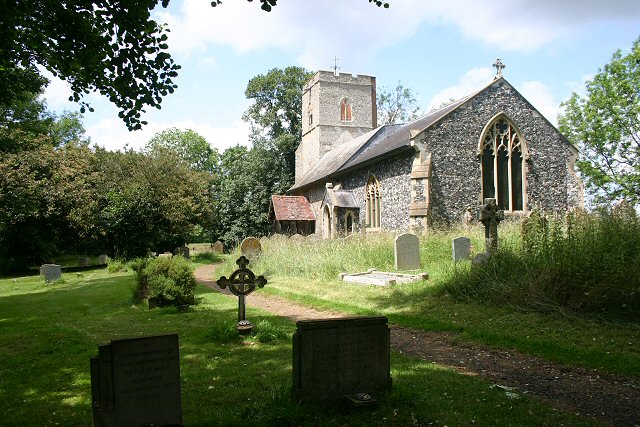
Clay Hill Images
Images are sourced within 2km of 52.086008/0.8920902 or Grid Reference TL9847. Thanks to Geograph Open Source API. All images are credited.


Clay Hill is located at Grid Ref: TL9847 (Lat: 52.086008, Lng: 0.8920902)
Administrative County: Suffolk
District: Babergh
Police Authority: Suffolk
What 3 Words
///trails.arranges.balance. Near Bildeston, Suffolk
Nearby Locations
Related Wikis

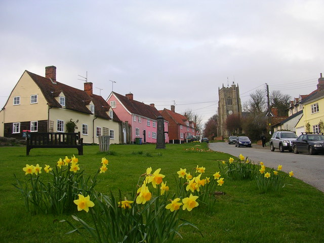
Chelsworth
Chelsworth is a village and civil parish in Suffolk, England. It lies on the B1115 road, 10 miles in either direction from Sudbury and Stowmarket. It is...

Cosford Hundred
Cosford was a hundred of Suffolk, consisting of 30,712 acres (124.29 km2).The hundred consisted of Hadleigh, the only town of any size, and seventeen other...
Monks Eleigh
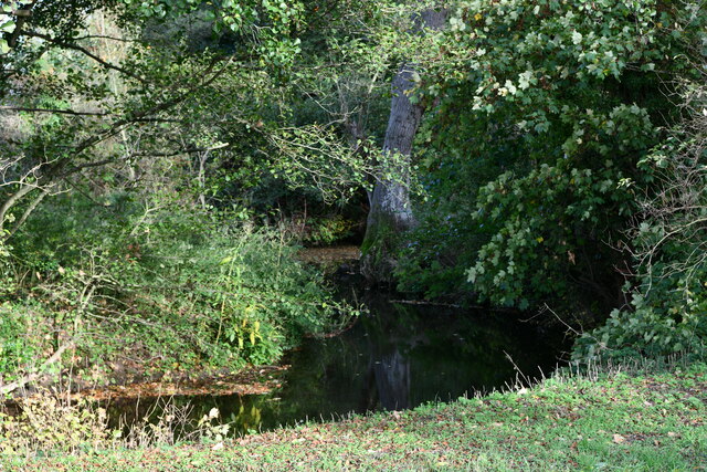
Monks Eleigh is a village and a civil parish in Babergh, Suffolk, United Kingdom, situated on the tributary to the River Brett in a rural area. The parish...
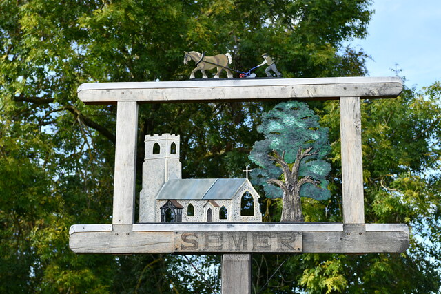
Semer, Suffolk
Semer is a small village and civil parish in Suffolk, England. Located adjacent to a bridge over the River Brett on the B1115 between Hadleigh and Stowmarket...
Nearby Amenities
Located within 500m of 52.086008,0.8920902Have you been to Clay Hill?
Leave your review of Clay Hill below (or comments, questions and feedback).