Beech Hill

Hill, Mountain in Suffolk Babergh

England

Beech Hill

Stone Street, Suffolk Stone Street is a small hamlet lying south of the village of Boxford. Along the street are some interesting houses, including this fine timber-framed house on the right of the picture.
Stone Street, Suffolk Credit: Robert Edwards

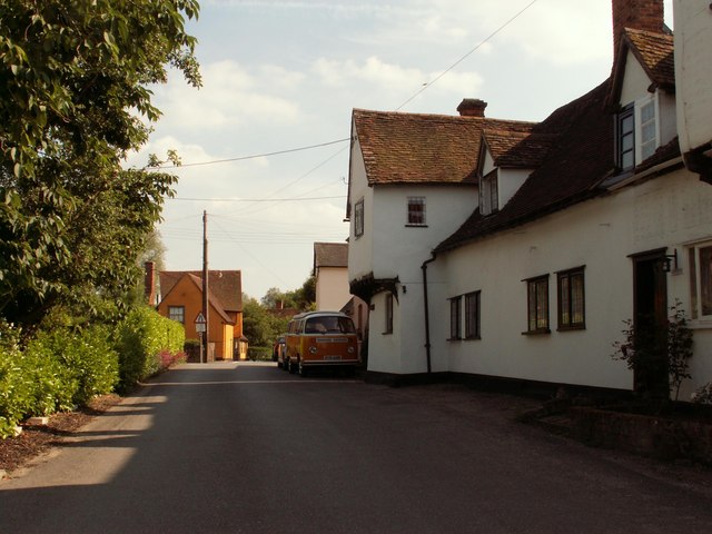
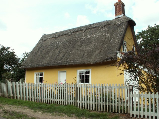
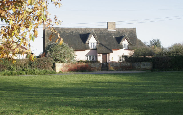
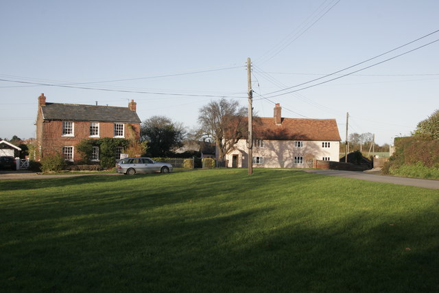
Beech Hill is a small hill located in Suffolk, England. Situated near the village of Framlingham, it is part of the picturesque landscape of the region. While not particularly tall or imposing, Beech Hill offers a scenic viewpoint and a peaceful setting for nature lovers and hikers.

Covered in lush vegetation, the hill is predominantly populated by beech trees, which give it its name. These trees provide a beautiful canopy and shade during the summer months, creating a pleasant atmosphere for visitors to enjoy. The hill is also home to a variety of other plant species, including wildflowers and shrubs, enhancing its natural beauty.

Beech Hill is a popular destination for outdoor enthusiasts, as it offers several walking trails that lead to the summit. These paths are well-maintained, making it accessible to both experienced hikers and casual walkers. The gentle incline of the hill makes it suitable for all fitness levels, ensuring that everyone can enjoy the stunning views offered from the top.

From the summit, visitors are rewarded with panoramic vistas of the surrounding countryside. The rolling hills, fields, and woodlands create a picturesque scene that showcases the charm and tranquility of rural Suffolk. On a clear day, it is even possible to see the nearby village of Framlingham, with its historic castle standing proudly in the distance.

Overall, Beech Hill in Suffolk is a serene and scenic spot that allows visitors to immerse themselves in nature and enjoy the beauty of the English countryside.

If you have any feedback on the listing, please let us know in the comments section below.
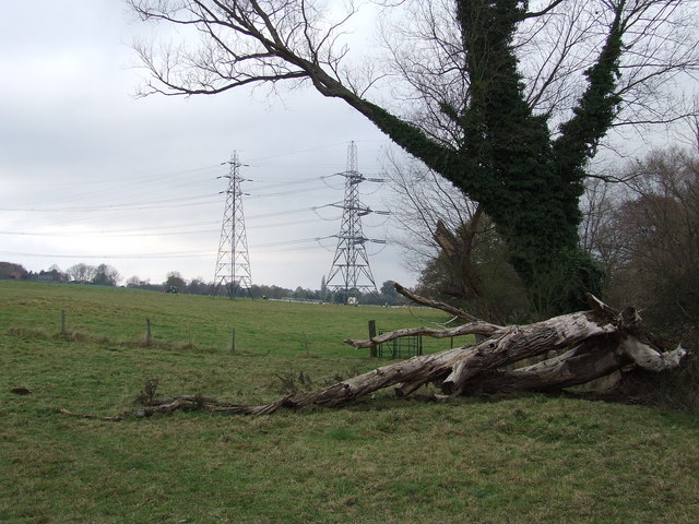
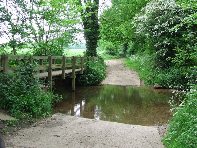
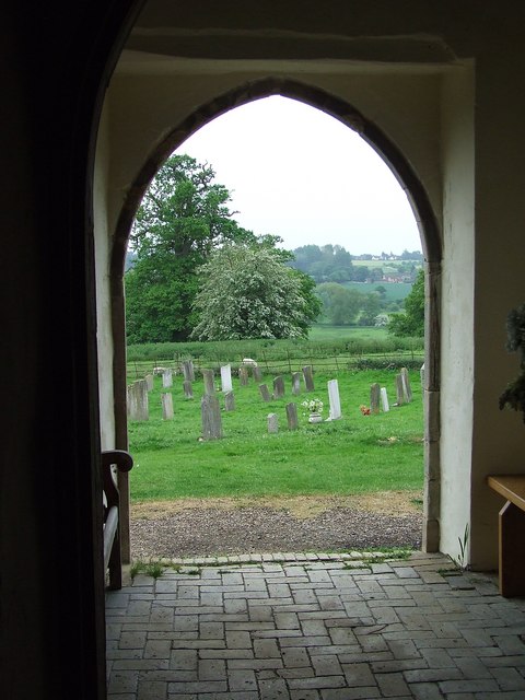
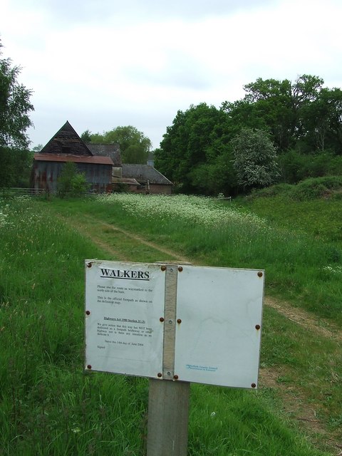
Beech Hill Images

Images are sourced within 2km of 52.018171/0.87260921 or Grid Reference TL9739. Thanks to Geograph Open Source API. All images are credited.

Stone Street, Suffolk Stone Street is a small hamlet lying south of the village of Boxford. Along the street are some interesting houses, including this fine timber-framed house on the right of the picture.
Stone Street, Suffolk
Stone Street is a small hamlet lying south of the village of Boxford. Along the street are some interesting houses, including this fine timber-framed house on the right of the picture.
Cottage at Stoke Tye, Suffolk Stoke Tye is a small place northwest of Stoke-by-Nayland and has just a few houses like the one in this picture.
Cottage at Stoke Tye, Suffolk
Stoke Tye is a small place northwest of Stoke-by-Nayland and has just a few houses like the one in this picture.
High Trees Farm Sign shows name as it appears on OS map.
High Trees Farm
Sign shows name as it appears on OS map.
Bramble Cottage This cottage is on the green in Whitestreet Green. I'm afraid that there are no markers which will confirm that this is where I say it is!! As with many villages in the area there are no signs which tell you where you are!
Bramble Cottage
This cottage is on the green in Whitestreet Green. I'm afraid that there are no markers which will confirm that this is where I say it is!! As with many villages in the area there are no signs which tell you where you are!
Whitestreet Green Another shot of the green. Looking north this time. Bramble Cottage is just out of view on the right.
Whitestreet Green
Another shot of the green. Looking north this time. Bramble Cottage is just out of view on the right.
Sprott's farm This was taken from the same place as the photo of High Trees Farm, but looking east. The national grid lines which are on the OS map are clearly visible.
Sprott's farm
This was taken from the same place as the photo of High Trees Farm, but looking east. The national grid lines which are on the OS map are clearly visible.
Part of Boxford (Suffolk) Farms Ltd. This is part of a complex of buildings at Hill Farm.
Part of Boxford (Suffolk) Farms Ltd.
This is part of a complex of buildings at Hill Farm.
Between Leavenheath and Boxford A quiet single track lane between Leavenheath and Boxford in Suffolk
Between Leavenheath and Boxford
A quiet single track lane between Leavenheath and Boxford in Suffolk
Maintenance overhead Maintenance on the overhead power lines near to Polstead, Suffolk.
Maintenance overhead
Maintenance on the overhead power lines near to Polstead, Suffolk.
Twisted trees Twisted laths of wood around a line of trees along the drive to Peyton Hall near Stone Street Suffolk.
Twisted trees
Twisted laths of wood around a line of trees along the drive to Peyton Hall near Stone Street Suffolk.
Pylons and fallen tree Pylons and fallen tree near to Polstead, Suffolk. The pylon to the right is having maintenance work carried out on it. If you look carefully you can see three men working on the pylon. For close up view see <a title="https://www.geograph.org.uk/photo/615845" href="https://www.geograph.org.uk/photo/615845">Link</a>
Pylons and fallen tree
Pylons and fallen tree near to Polstead, Suffolk. The pylon to the right is having maintenance work carried out on it. If you look carefully you can see three men working on the pylon. For close up view see Link
Gated woodland Entrance to wooded area east of Sprotts Farm near to Polstead, Suffolk.
Gated woodland
Entrance to wooded area east of Sprotts Farm near to Polstead, Suffolk.
Old barn Old barn at Sprotts Farm near to Polstead, Suffolk.
Old barn
Old barn at Sprotts Farm near to Polstead, Suffolk.
Entrance to Sprott's Farm Entrance to Sprott's Farm as seen from Holt Road near to Polstead, Suffolk.
Entrance to Sprott's Farm
Entrance to Sprott's Farm as seen from Holt Road near to Polstead, Suffolk.
Ford crossing Ford and footbridge near to Polstead, Suffolk.
Ford crossing
Ford and footbridge near to Polstead, Suffolk.
Out of the door Distant views as seen through the door of the Church of St Mary, Polstead, Suffolk.
Out of the door
Distant views as seen through the door of the Church of St Mary, Polstead, Suffolk.
Sign for walkers The sign by the council instructs walkers to walk to the north side of the barn. There is a planning application up on the Holt Road for what I believe is this barn. For photo of the barn see <a title="https://www.geograph.org.uk/photo/803752" href="https://www.geograph.org.uk/photo/803752">Link</a> ; near Polstead, Suffolk.
Sign for walkers
The sign by the council instructs walkers to walk to the north side of the barn. There is a planning application up on the Holt Road for what I believe is this barn. For photo of the barn see Link ; near Polstead, Suffolk.
Width restriction Road sign at the end of a dirt track with public access near to Polstead, Suffolk.
Width restriction
Road sign at the end of a dirt track with public access near to Polstead, Suffolk.
Show me another place!

Beech Hill is located at Grid Ref: TL9739 (Lat: 52.018171, Lng: 0.87260921)

Administrative County: Suffolk

District: Babergh

Police Authority: Suffolk

What 3 Words

///limo.anguished.tentacles. Near Hadleigh, Suffolk

Related Wikis

Boxford, Suffolk

Boxford is a village and civil parish in the Babergh district of Suffolk, England. Located around six miles east of Sudbury straddling the River Box and...

Hagmore Green

Hagmore Green is a hamlet in the civil parish of Boxford, in the Babergh district, in the county of Suffolk, England. The nearest village is Boxford, the...

Gospel Oak, Polstead

The Gospel Oak was a veteran tree in Polstead, Suffolk. The tree is associated with Saint Cedd, who reputedly planted it or preached beneath it. The...

Polstead

Polstead is a village and civil parish in the Babergh district of Suffolk, England. The village lies 3 miles (4.8 km) northeast of Nayland, 5 miles (8...

Nearby Amenities

Located within 500m of 52.018171,0.87260921
Bus Stop
Spring Lane
Naptan AtcoCode: 390010630
Naptan Bearing: N
Naptan BusStopType: CUS
Naptan CommonName: Spring Lane
Naptan Indicator: adj
Naptan Landmark: Spring Lane
Naptan NaptanCode: sufagtpw
Naptan Street: The Green
Naptan Verified: no
Source: naptan_import
Lat/Long: 52.0185733/0.8779031
Bus Stop
Spring Lane
Naptan AtcoCode: 390010631
Naptan Bearing: S
Naptan BusStopType: CUS
Naptan CommonName: Spring Lane
Naptan Indicator: opp
Naptan Landmark: Spring Lane
Naptan NaptanCode: sufagtwa
Naptan Street: The Green
Naptan Verified: no
Source: naptan_import
Lat/Long: 52.0185657/0.8778444
The data included in this document is from www.openstreetmap.org. The data is made available under ODbL.

Have you been to Beech Hill?

Leave your review of Beech Hill below (or comments, questions and feedback).