Linger Hill
Hill, Mountain in Norfolk Breckland
England
Linger Hill
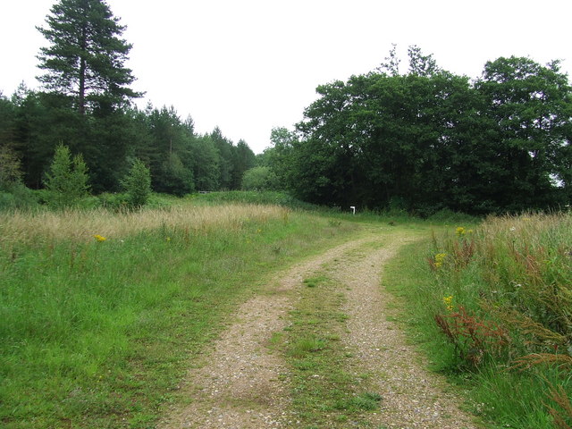
Linger Hill is a prominent geographical feature located in the county of Norfolk, England. Although classified as a hill, it is more accurately described as a gentle rise in the landscape rather than a towering peak. Despite its modest height, Linger Hill offers breathtaking panoramic views of the surrounding countryside and is a popular destination for nature lovers and hikers.
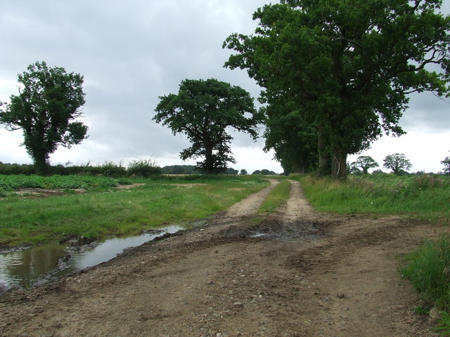
Situated in the eastern part of Norfolk, Linger Hill is part of a larger network of rolling hills known as the Norfolk Ridge. This ridge extends for several miles and is characterized by its undulating terrain, consisting of a mixture of grassy meadows, dense woodlands, and agricultural fields. Linger Hill itself is covered in lush green vegetation, with patches of wildflowers adding vibrant colors to the landscape during the summer months.
The hill is easily accessible, with a well-maintained footpath leading visitors to its summit. From the top, one can enjoy uninterrupted views of the surrounding countryside, including picturesque villages, farmland, and distant horizons. On a clear day, it is even possible to catch a glimpse of the North Sea shimmering in the distance.
Linger Hill is also home to a diverse range of wildlife, including birds, rabbits, and various species of butterflies. The area is designated as a nature reserve, ensuring the preservation of its natural beauty and the protection of its inhabitants.
In conclusion, Linger Hill is a modest yet captivating feature of Norfolk's landscape, offering visitors a tranquil escape and stunning vistas of the surrounding countryside.
If you have any feedback on the listing, please let us know in the comments section below.
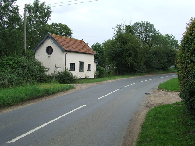
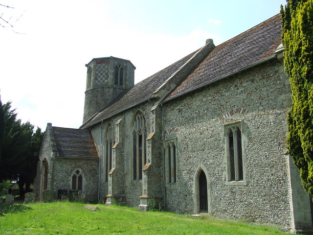
Linger Hill Images
Images are sourced within 2km of 52.49381/0.90203757 or Grid Reference TL9792. Thanks to Geograph Open Source API. All images are credited.


Linger Hill is located at Grid Ref: TL9792 (Lat: 52.49381, Lng: 0.90203757)
Administrative County: Norfolk
District: Breckland
Police Authority: Norfolk
What 3 Words
///weeps.epidemics.amplified. Near East Harling, Norfolk
Nearby Locations
Related Wikis

Shropham Hall
Shropham Hall is an early Georgian country house in Shropham in the county of Norfolk. It was completed by 1729 for John Barker, later High Sheriff of...

Shropham
Shropham is a civil parish in the English county of Norfolk. It covers an area of 11.12 km2 (4.29 sq mi) and had a population of 351 in 155 households...
Hockham
Hockham is a civil parish in the English county of Norfolk. It covers an area of 13.36 km2 (5.16 sq mi) and had a population of 620 in 252 households at...

Great Hockham
Great Hockham is a village in the English county of Norfolk within the civil parish of Hockham, though the distinction between village and parish may now...
Church of St Margaret, Breckles
The church of Breckles St Margaret is an Anglican church near Stow Bedon, Norfolk, England. It is one of 124 existent round-tower churches in Norfolk....

Snetterton
Snetterton is a village and civil parish in Norfolk, England. The village is about 9 miles (14 km) east-northeast of Thetford and 19 miles (31 km) southwest...

Larling
Larling is a village and former civil parish, now in the parish of Roudham and Larling, in the Breckland district, in the county of Norfolk, England. The...
Kenninghall Road Mill, East Harling
Kenninghall Road Mill is a Grade II listed tower mill at East Harling, Norfolk, England which has been converted to residential accommodation. == History... ==
Nearby Amenities
Located within 500m of 52.49381,0.90203757Have you been to Linger Hill?
Leave your review of Linger Hill below (or comments, questions and feedback).