Broom Hill

Hill, Mountain in Suffolk Babergh

England

Broom Hill

Polstead church
Polstead church Credit: mym

Broom Hill is a picturesque hill located in Suffolk, England. Situated in the eastern region of the country, this naturally formed hill is known for its scenic beauty and breathtaking views. Though referred to as a hill, Broom Hill is not particularly large or steep, more resembling a small rise in the landscape rather than a true mountain.

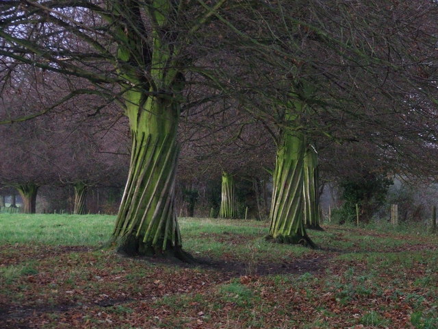
The hill is covered in lush greenery, with a variety of trees and plants dotting its slopes. It is a popular destination for hikers and nature enthusiasts, offering numerous trails and paths to explore. As visitors ascend the hill, they are treated to panoramic views of the surrounding countryside, including rolling hills, farmland, and quaint villages in the distance.

Broom Hill is also known for its historical significance. In the past, it served as a vantage point for the local communities, providing a strategic location to observe the surrounding area. Today, remnants of this history can still be seen, with the remains of an old defensive wall at the top of the hill.

In addition to its natural beauty and historical value, Broom Hill is home to a diverse range of wildlife. Various species of birds, including the red kite and barn owl, can be spotted soaring through the skies above. Rabbits, squirrels, and other small mammals are also frequently seen scurrying amongst the undergrowth.

Whether one is looking to enjoy a leisurely walk, take in stunning views, or immerse themselves in nature, Broom Hill in Suffolk offers a delightful and peaceful experience for all who visit.

If you have any feedback on the listing, please let us know in the comments section below.
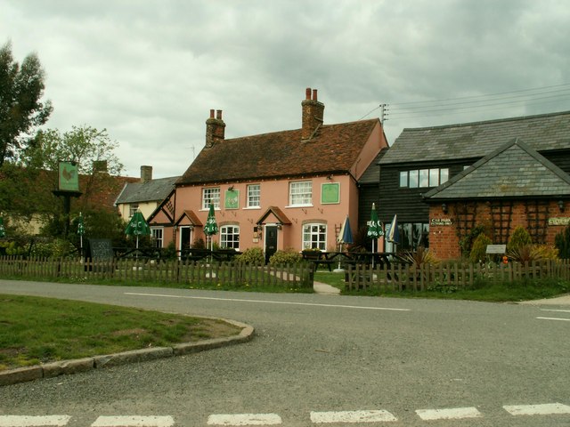
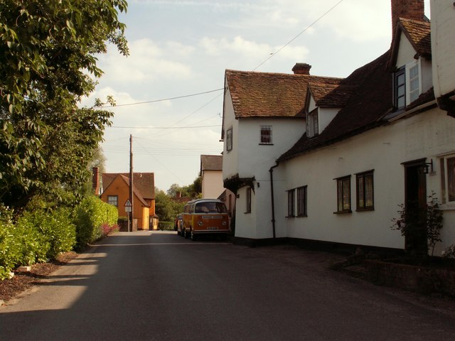
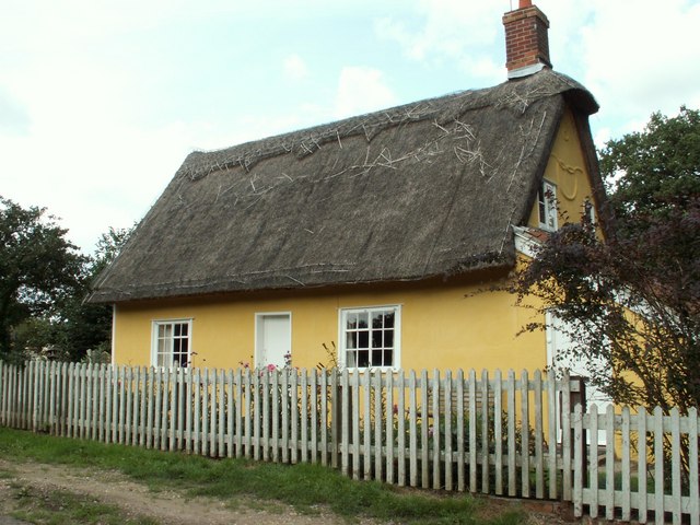
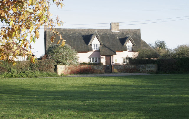
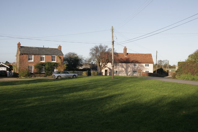
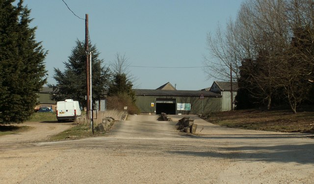
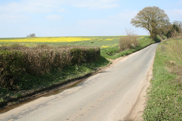
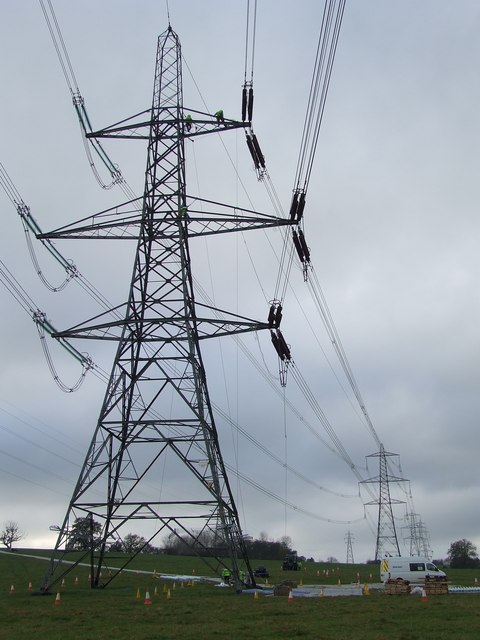
Broom Hill Images

Images are sourced within 2km of 52.014847/0.88092277 or Grid Reference TL9739. Thanks to Geograph Open Source API. All images are credited.

Polstead church
Polstead church
Floral delights in field at Mill Street The summer of 1996 will be forever remembered by me as the year of red poppies.  They seemed to be everywhere and lasted for many weeks.
Floral delights in field at Mill Street
The summer of 1996 will be forever remembered by me as the year of red poppies. They seemed to be everywhere and lasted for many weeks.
Narrow lane in Mill Street This shows a converted mill in the aptly named community of Mill Street
Narrow lane in Mill Street
This shows a converted mill in the aptly named community of Mill Street
Polstead It is 10 years since I took this photograph.  I remember standing on the village green, and there was an inn close to this village sign
Polstead
It is 10 years since I took this photograph. I remember standing on the village green, and there was an inn close to this village sign
'The Cock Inn', Polstead, Suffolk
Stone Street, Suffolk Stone Street is a small hamlet lying south of the village of Boxford. Along the street are some interesting houses, including this fine timber-framed house on the right of the picture.
Stone Street, Suffolk
Stone Street is a small hamlet lying south of the village of Boxford. Along the street are some interesting houses, including this fine timber-framed house on the right of the picture.
Cottage at Stoke Tye, Suffolk Stoke Tye is a small place northwest of Stoke-by-Nayland and has just a few houses like the one in this picture.
Cottage at Stoke Tye, Suffolk
Stoke Tye is a small place northwest of Stoke-by-Nayland and has just a few houses like the one in this picture.
Polstead Church, distant view with fields and trees The church is outside the village, in Polstead Park. This view is from the hill above Bell's Corner.
Polstead Church, distant view with fields and trees
The church is outside the village, in Polstead Park. This view is from the hill above Bell's Corner.
Bell's Corner and Polstead The houses at the bottom of the field are on Marten's Lane, at Bell's Corner. The houses on the skyline beyond are the village of Polstead.
Bell's Corner and Polstead
The houses at the bottom of the field are on Marten's Lane, at Bell's Corner. The houses on the skyline beyond are the village of Polstead.
Polstead Pond View from road junction to Ponds farm. This is a large pond, almost a lake, formed by a dam in the narrow valley.
Polstead Pond
View from road junction to Ponds farm. This is a large pond, almost a lake, formed by a dam in the narrow valley.
High Trees Farm Sign shows name as it appears on OS map.
High Trees Farm
Sign shows name as it appears on OS map.
Bramble Cottage This cottage is on the green in Whitestreet Green. I'm afraid that there are no markers which will confirm that this is where I say it is!! As with many villages in the area there are no signs which tell you where you are!
Bramble Cottage
This cottage is on the green in Whitestreet Green. I'm afraid that there are no markers which will confirm that this is where I say it is!! As with many villages in the area there are no signs which tell you where you are!
Whitestreet Green Another shot of the green. Looking north this time. Bramble Cottage is just out of view on the right.
Whitestreet Green
Another shot of the green. Looking north this time. Bramble Cottage is just out of view on the right.
Sprott's farm This was taken from the same place as the photo of High Trees Farm, but looking east. The national grid lines which are on the OS map are clearly visible.
Sprott's farm
This was taken from the same place as the photo of High Trees Farm, but looking east. The national grid lines which are on the OS map are clearly visible.
Part of Boxford (Suffolk) Farms Ltd. This is part of a complex of buildings at Hill Farm.
Part of Boxford (Suffolk) Farms Ltd.
This is part of a complex of buildings at Hill Farm.
Between Leavenheath and Boxford A quiet single track lane between Leavenheath and Boxford in Suffolk
Between Leavenheath and Boxford
A quiet single track lane between Leavenheath and Boxford in Suffolk
Maintenance overhead Maintenance on the overhead power lines near to Polstead, Suffolk.
Maintenance overhead
Maintenance on the overhead power lines near to Polstead, Suffolk.
Twisted trees Twisted laths of wood around a line of trees along the drive to Peyton Hall near Stone Street Suffolk.
Twisted trees
Twisted laths of wood around a line of trees along the drive to Peyton Hall near Stone Street Suffolk.
Show me another place!

Broom Hill is located at Grid Ref: TL9739 (Lat: 52.014847, Lng: 0.88092277)

Administrative County: Suffolk

District: Babergh

Police Authority: Suffolk

What 3 Words

///critic.mainly.shepherds. Near Hadleigh, Suffolk

Related Wikis

Gospel Oak, Polstead

The Gospel Oak was a veteran tree in Polstead, Suffolk. The tree is associated with Saint Cedd, who reputedly planted it or preached beneath it. The...
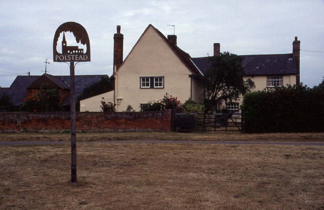
Polstead

Polstead is a village and civil parish in the Babergh district of Suffolk, England. The village lies 3 miles (4.8 km) northeast of Nayland, 5 miles (8...

South Suffolk (UK Parliament constituency)

South Suffolk is a constituency represented in the House of Commons of the UK Parliament since 2015 by James Cartlidge, a Conservative. == History == South...

Boxford, Suffolk

Boxford is a large village and civil parish in the Babergh district of Suffolk, England. Located around six miles east of Sudbury straddling the River...

Hagmore Green

Hagmore Green is a hamlet in the civil parish of Boxford, in the Babergh district, in the county of Suffolk, England. The nearest village is Boxford, the...

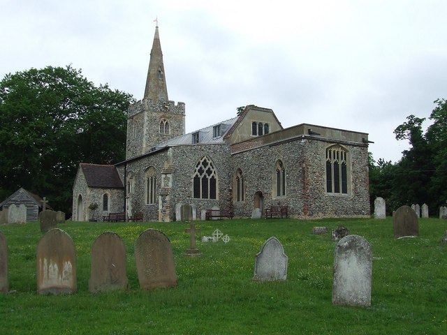
St Mary's Church, Stoke-by-Nayland

St Mary's Church is a Grade I listed parish church in the Church of England in Stoke-by-Nayland. == History == The earliest parts of the church date from...

Groton, Suffolk

Groton is a village and civil parish in the Babergh district, Suffolk, England, located around a mile north of the A1071 between Hadleigh and Sudbury....

Stoke-by-Nayland

Stoke-by-Nayland is a village and civil parish in the Babergh district, in the county of Suffolk, England, close to the border with Essex. The parish includes...

Nearby Amenities

Located within 500m of 52.014847,0.88092277
Bus Stop
Spring Lane
Naptan AtcoCode: 390010630
Naptan Bearing: N
Naptan BusStopType: CUS
Naptan CommonName: Spring Lane
Naptan Indicator: adj
Naptan Landmark: Spring Lane
Naptan NaptanCode: sufagtpw
Naptan Street: The Green
Naptan Verified: no
Source: naptan_import
Lat/Long: 52.0185733/0.8779031
Bus Stop
Spring Lane
Naptan AtcoCode: 390010631
Naptan Bearing: S
Naptan BusStopType: CUS
Naptan CommonName: Spring Lane
Naptan Indicator: opp
Naptan Landmark: Spring Lane
Naptan NaptanCode: sufagtwa
Naptan Street: The Green
Naptan Verified: no
Source: naptan_import
Lat/Long: 52.0185657/0.8778444
Power: tower
Lat/Long: 52.0119899/0.8845096
Power: tower
Lat/Long: 52.0108646/0.8801697
Power: tower
Lat/Long: 52.0105035/0.8805047
Power: tower
Lat/Long: 52.0116789/0.8850484
Whitestreet Green
Place: hamlet
Wikidata: Q1895488
Lat/Long: 52.0169719/0.8800915
The data included in this document is from www.openstreetmap.org. The data is made available under ODbL.

Have you been to Broom Hill?

Leave your review of Broom Hill below (or comments, questions and feedback).