Elder Hill

Hill, Mountain in Norfolk Breckland

England

Elder Hill

On the edge of Barnham Heath
On the edge of Barnham Heath Credit: Evelyn Simak

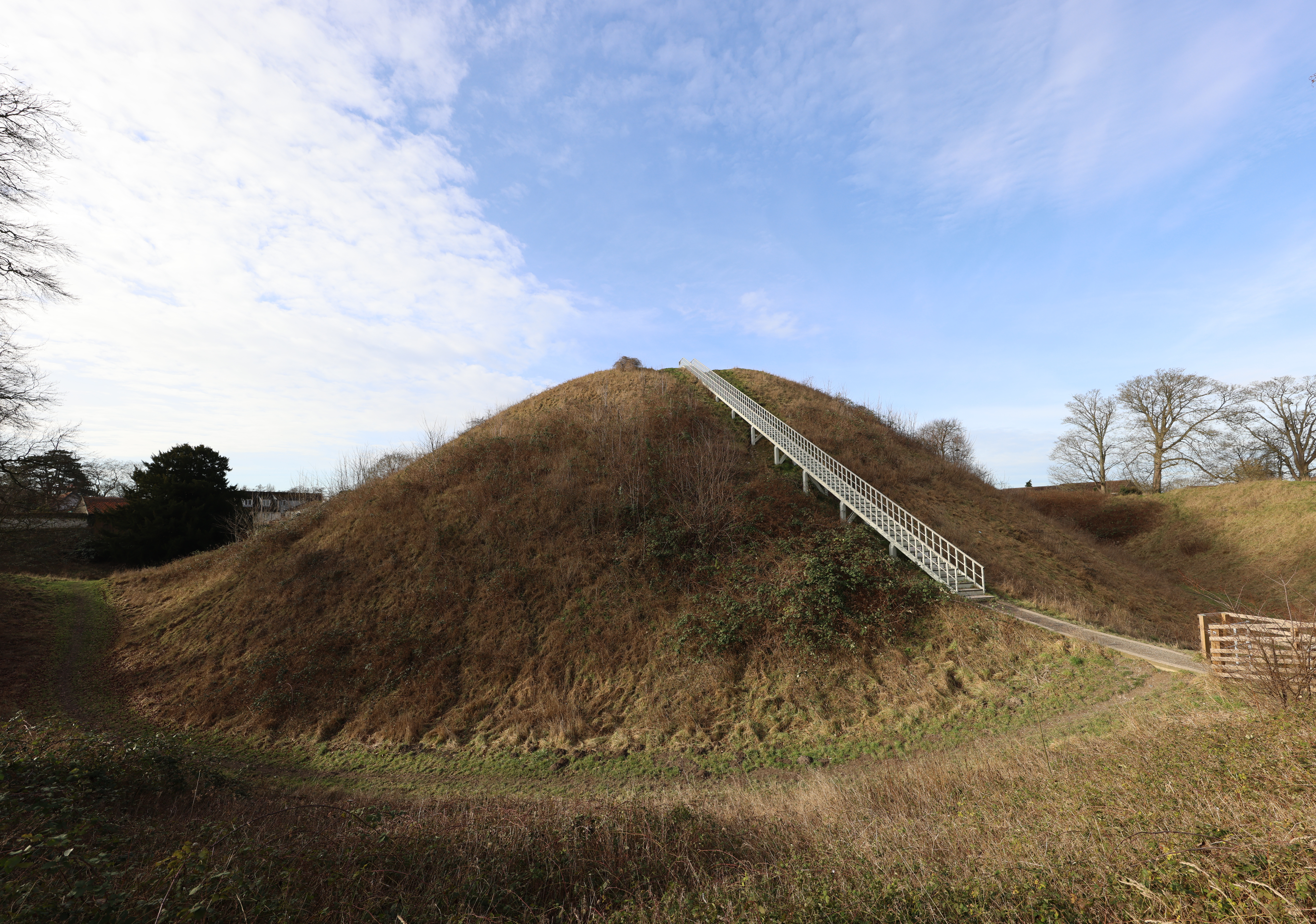
Elder Hill, located in Norfolk, England, is a prominent hill that stands at an elevation of 103 meters (338 feet). Situated in the rural landscape near the village of Elder, it is a part of the larger Norfolk Broads National Park, renowned for its picturesque scenery and natural beauty.

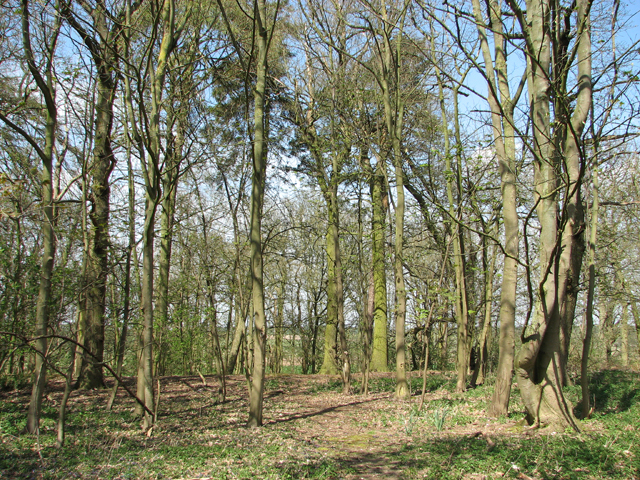
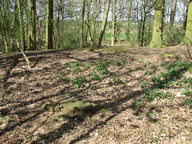
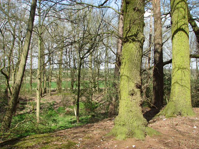
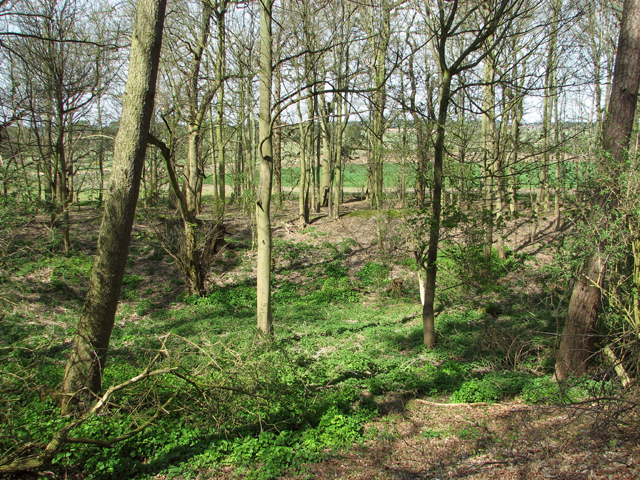
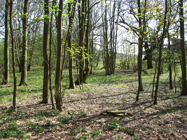
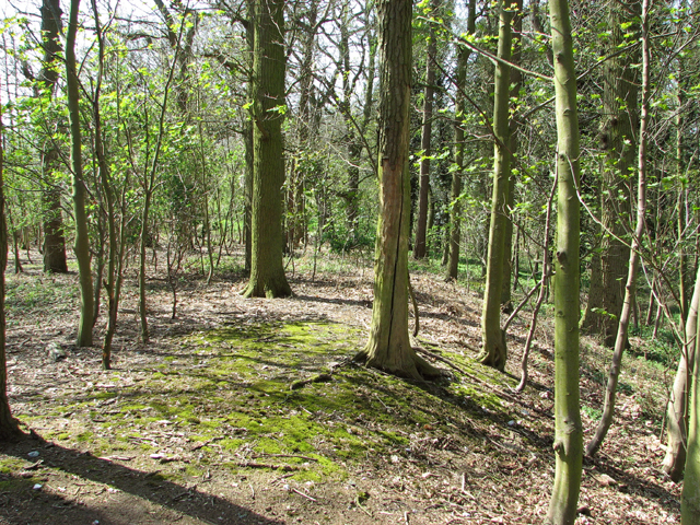
Elder Hill is characterized by its gently sloping terrain and lush green vegetation, primarily consisting of grasses, shrubs, and scattered trees. The hill offers visitors and locals alike breathtaking panoramic views of the surrounding countryside and nearby waterways, including the River Bure and the numerous lakes and marshes that dot the region.

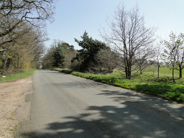
The hill is frequented by hikers, walkers, and nature enthusiasts who are drawn to its peaceful ambiance and the opportunity to explore the Norfolk countryside. It provides an ideal setting for outdoor activities such as picnicking, birdwatching, and photography.

Elder Hill is also home to a diverse array of wildlife, including various species of birds, mammals, and insects. It serves as an important habitat for many native and migratory bird species, making it a popular spot for birdwatchers throughout the year.

With its serene atmosphere and stunning vistas, Elder Hill offers visitors a chance to escape the hustle and bustle of urban life and immerse themselves in the tranquility of nature. Whether it's a leisurely stroll or a challenging hike, this natural landmark promises a memorable experience for all who venture to its summit.

If you have any feedback on the listing, please let us know in the comments section below.
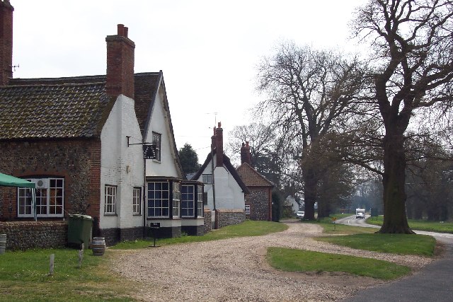
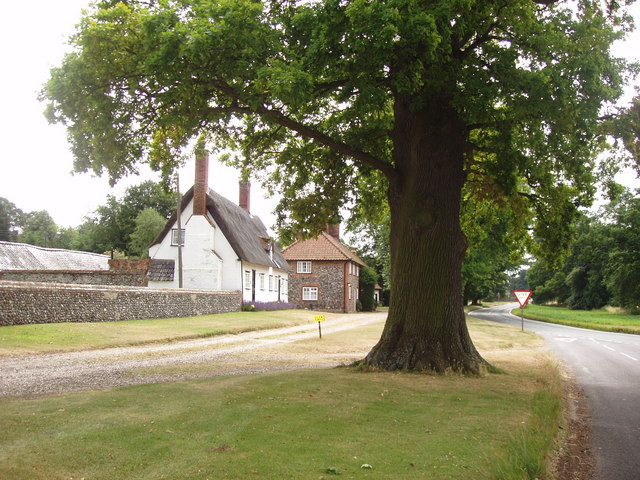
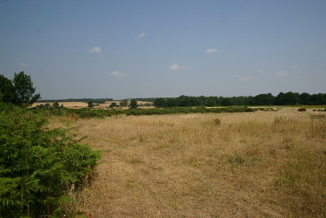
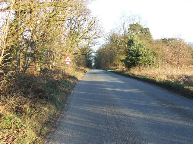
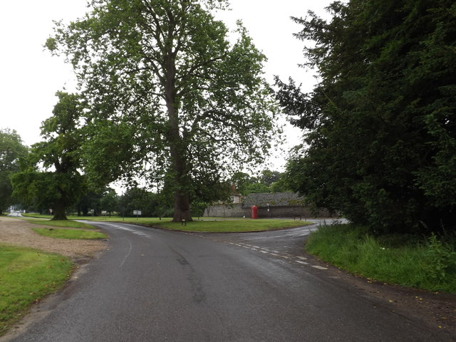
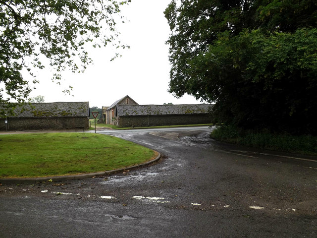
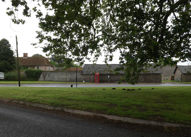
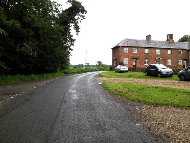
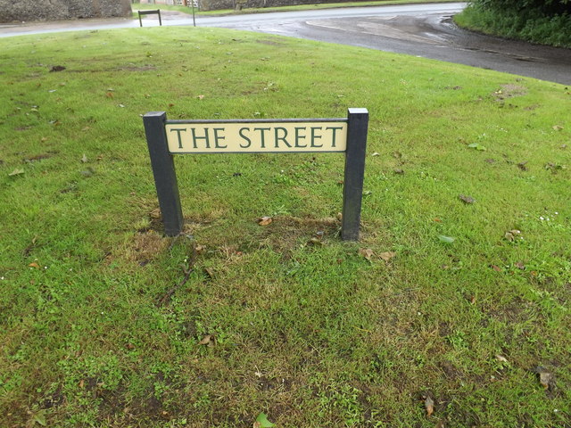
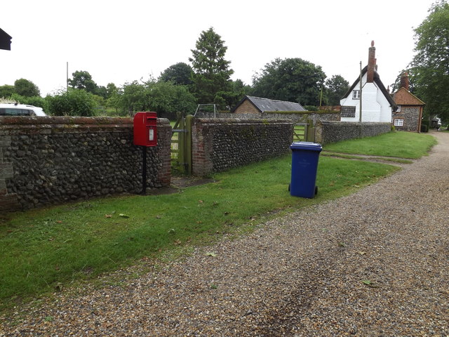
Elder Hill Images

Images are sourced within 2km of 52.395389/0.77445495 or Grid Reference TL8881. Thanks to Geograph Open Source API. All images are credited.

On the edge of Barnham Heath
Barnham Road near Gravehill Plantation
Fly tip beside Barnham Road
Wood beside Barnham Road
Disused pit in wood beside Barnham Road
Wood beside Barnham Road
On the edge of a disused pit beside Barnham Road
Euston, Suffolk The big London railway station is named after this tiny Suffolk hamlet! The Duke of Grafton, whose family home is Euston Hall, owned the land on which the London & Birmingham Railway built its London terminus.
Euston, Suffolk
The big London railway station is named after this tiny Suffolk hamlet! The Duke of Grafton, whose family home is Euston Hall, owned the land on which the London & Birmingham Railway built its London terminus.
Euston, Suffolk The Euston estate in Suffolk is the home of the Duke of Grafton.  It is also linked with Euston station in London which was built on land owned by the Duke in the 19th century.
Euston, Suffolk
The Euston estate in Suffolk is the home of the Duke of Grafton. It is also linked with Euston station in London which was built on land owned by the Duke in the 19th century.
Barnham Heath Looking north from near the road from Barnham to Euston.
Barnham Heath
Looking north from near the road from Barnham to Euston.
Ice warning Ice warning sign on country road near to Barnham, Suffolk
Ice warning
Ice warning sign on country road near to Barnham, Suffolk
C635 Rushford Road, Euston At the junction with the A1088 The Street
C635 Rushford Road, Euston
At the junction with the A1088 The Street
A1088 Thetford Road, Euston At the junction with the C635 Rushford Road
A1088 Thetford Road, Euston
At the junction with the C635 Rushford Road
Telephone Box on the A1088 Thetford Road At the junction with the C635 Rushford Road & A1088 The Street
Telephone Box on the A1088 Thetford Road
At the junction with the C635 Rushford Road & A1088 The Street
C635 Rushford Road, Euston At the junction with the A1088 Thetford Road & The Street
C635 Rushford Road, Euston
At the junction with the A1088 Thetford Road & The Street
The Street sign On The Street at the junction with C635 Rushford Road & A1088 Thetford Road
The Street sign
On The Street at the junction with C635 Rushford Road & A1088 Thetford Road
The Square Postbox Off The Street
Postbox No.IP24 3280
The Square Postbox
Off The Street Postbox No.IP24 3280
Show me another place!

Elder Hill is located at Grid Ref: TL8881 (Lat: 52.395389, Lng: 0.77445495)

Administrative County: Norfolk

District: Breckland

Police Authority: Norfolk

What 3 Words

///dusts.plastic.texts. Near Thetford, Norfolk

Nearby Locations

Elder Hill Tutt Hill

Related Wikis

Barnham Heath

Barnham Heath is a 78.6-hectare (194-acre) biological Site of Special Scientific Interest near Barnham, a village south of Thetford in Suffolk. It is a...

Thetford Bridge railway station

Thetford Bridge railway station served the eastern part of Thetford, Norfolk, England between 1875 and 1953. == History == The railway line between Bury...

Thetford Castle

Thetford Castle is a medieval motte and bailey castle in the market town of Thetford in the Breckland area of Norfolk, England. The first castle in Thetford...

Barnham Cross Common

Barnham Cross Common is a 69.1-hectare (171-acre) biological Site of Special Scientific Interest on the southern outskirts of Thetford in Norfolk. It is...

Nearby Amenities

Located within 500m of 52.395389,0.77445495
Operator: GPSS
Pipeline: marker
Substance: oil
Lat/Long: 52.3968348/0.7738871
Operator: GPSS
Pipeline: marker
Substance: oil
Lat/Long: 52.3967071/0.7738211
Colour: red
Inscription: GAS
Marker: post
Material: concrete
Utility: gas
Lat/Long: 52.3951606/0.7755099
Colour: red
Inscription: GAS
Marker: post
Material: concrete
Utility: gas
Lat/Long: 52.3951618/0.7755094
The data included in this document is from www.openstreetmap.org. The data is made available under ODbL.

Have you been to Elder Hill?

Leave your review of Elder Hill below (or comments, questions and feedback).