Little Bear's Hill
Hill, Mountain in Suffolk Babergh
England
Little Bear's Hill
Little Bear's Hill is a small hill located in Suffolk, England. While it may not qualify as a mountain by most definitions, it is a prominent feature in the surrounding landscape. Its exact height is uncertain, but it stands at approximately 100 meters above sea level.
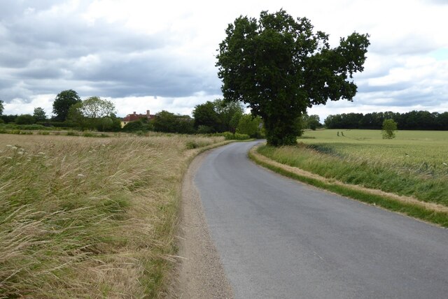
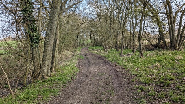
Situated in the southern part of Suffolk, Little Bear's Hill offers panoramic views of the surrounding countryside. The hill is covered in lush green grass and is dotted with a variety of wildflowers, adding to its picturesque appeal. It is often frequented by hikers, nature enthusiasts, and locals seeking a peaceful retreat.
The hill takes its name from the legend of a bear that is said to have roamed the area centuries ago. According to local folklore, the bear was small in size but possessed great strength and agility, hence the name "Little Bear." Although the bear is long gone, the legend lives on, adding a touch of mystery to the hill's charm.
Little Bear's Hill is also home to a diverse range of wildlife, including various bird species and small mammals. The hill's natural beauty and tranquility make it an ideal habitat for these creatures, attracting birdwatchers and wildlife enthusiasts.
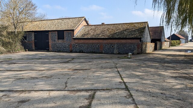
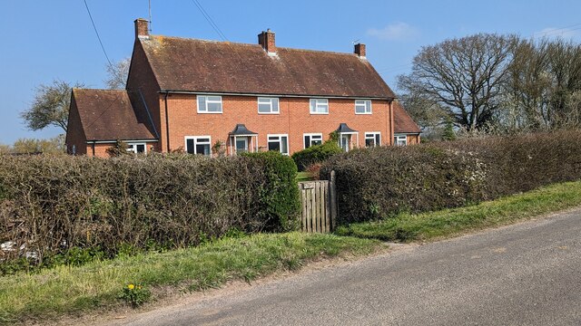
In addition to its natural attractions, Little Bear's Hill is surrounded by several quaint villages and historical sites. Visitors can explore nearby ancient churches, traditional English pubs, and charming country lanes.
Overall, Little Bear's Hill offers a serene escape from the hustle and bustle of everyday life. Its stunning views, rich history, and abundant wildlife make it a must-visit destination for nature lovers and those seeking a glimpse into Suffolk's natural beauty.
If you have any feedback on the listing, please let us know in the comments section below.
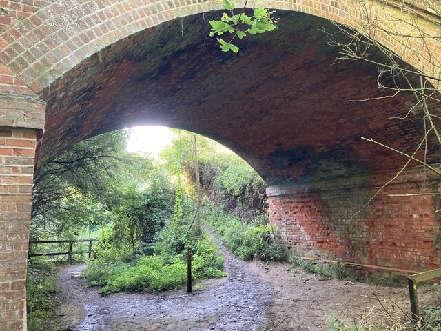
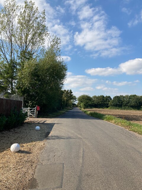
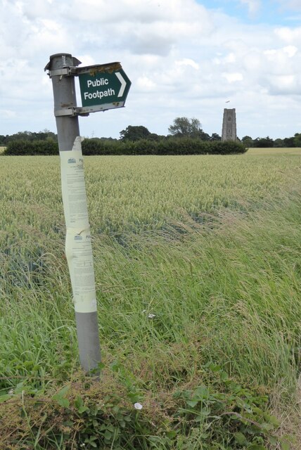
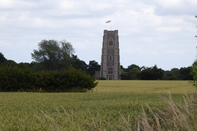
Little Bear's Hill Images
Images are sourced within 2km of 52.098491/0.75474377 or Grid Reference TL8848. Thanks to Geograph Open Source API. All images are credited.


Little Bear's Hill is located at Grid Ref: TL8848 (Lat: 52.098491, Lng: 0.75474377)
Administrative County: Suffolk
District: Babergh
Police Authority: Suffolk
What 3 Words
///boardroom.serious.ladder. Near Lavenham, Suffolk
Nearby Locations
Related Wikis

Lineage Wood & Railway Track, Long Melford
Lineage Wood & Railway Track, Long Melford is a 78.7-hectare (194-acre) biological Site of Special Scientific Interest north-east of Long Melford in Suffolk...

The Railway Walks
The Railway Walks is a 25.3 hectare Local Nature Reserve which runs along parts of a former railway line between Sudbury and Lavenham in Suffolk. It is...

Holy Trinity Church, Long Melford
The Church of the Holy Trinity is a Grade I listed parish church of the Church of England in Long Melford, Suffolk, England. It is one of 310 medieval...
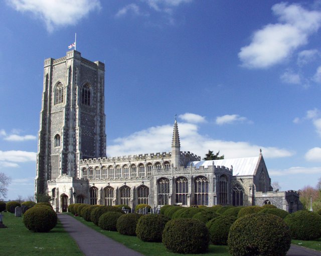
St Peter and St Paul's Church, Lavenham
St Peter and St Paul's Church, Lavenham is a Grade I listed parish church in the Church of England in Lavenham, Suffolk. It is a notable wool church and...
Nearby Amenities
Located within 500m of 52.098491,0.75474377Have you been to Little Bear's Hill?
Leave your review of Little Bear's Hill below (or comments, questions and feedback).