Great Bear's Hill

Hill, Mountain in Suffolk Babergh

England

Great Bear's Hill

Old railway bridge near Lavenham The bridge takes Bridge Street Road over the disused railway line which is now part of the St Edmund Way footpath. The line was the old GER line through Lavenham and Long Melford which connected Bury St Edmunds to the Stour Valley Line: <span class="nowrap"><a title="https://en.wikipedia.org/wiki/Long_Melford%E2%80%93Bury_St_Edmunds_branch_line" rel="nofollow ugc noopener" href="https://en.wikipedia.org/wiki/Long_Melford%E2%80%93Bury_St_Edmunds_branch_line">Link</a><img style="margin-left:2px;" alt="External link" title="External link - shift click to open in new window" src="https://s1.geograph.org.uk/img/external.png" width="10" height="10"/></span>
Old railway bridge near Lavenham Credit: Chris Holifield

The requested URL returned error: 429 Too Many Requests

If you have any feedback on the listing, please let us know in the comments section below.

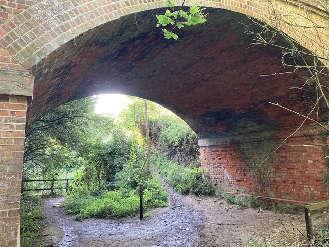
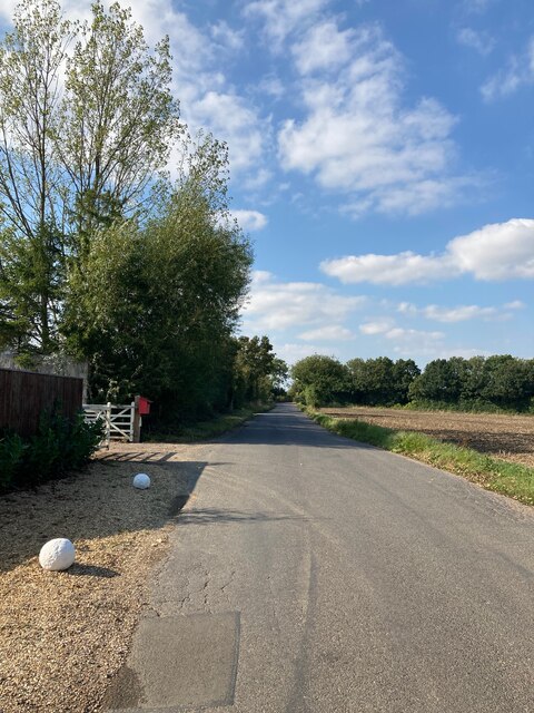
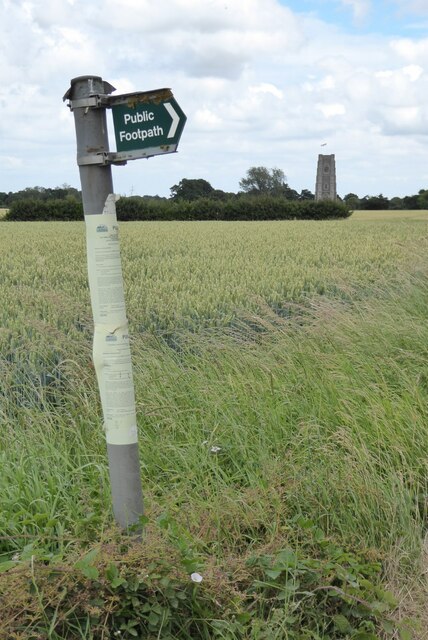
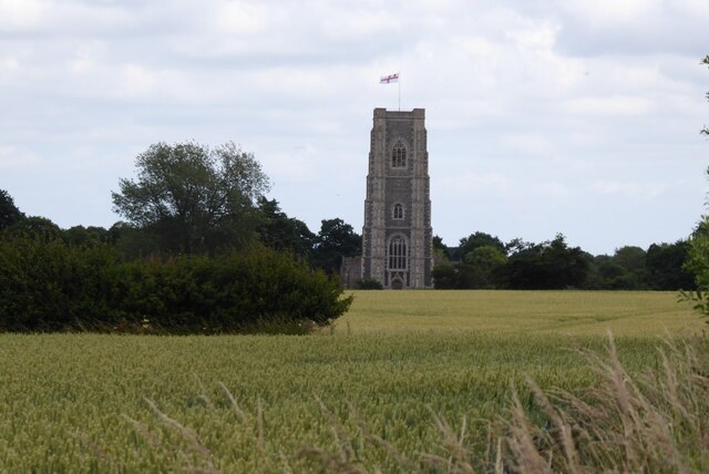
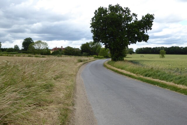
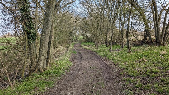
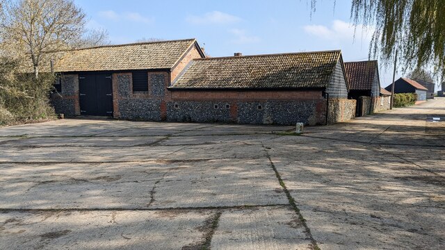
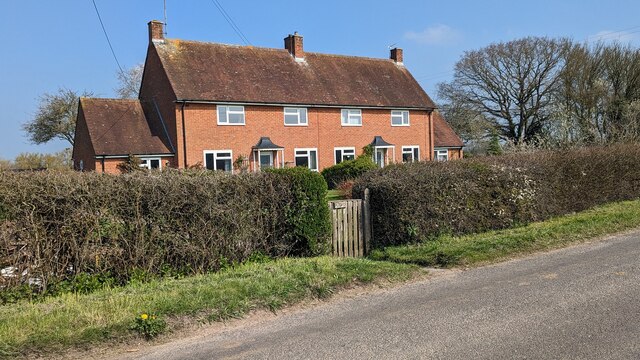
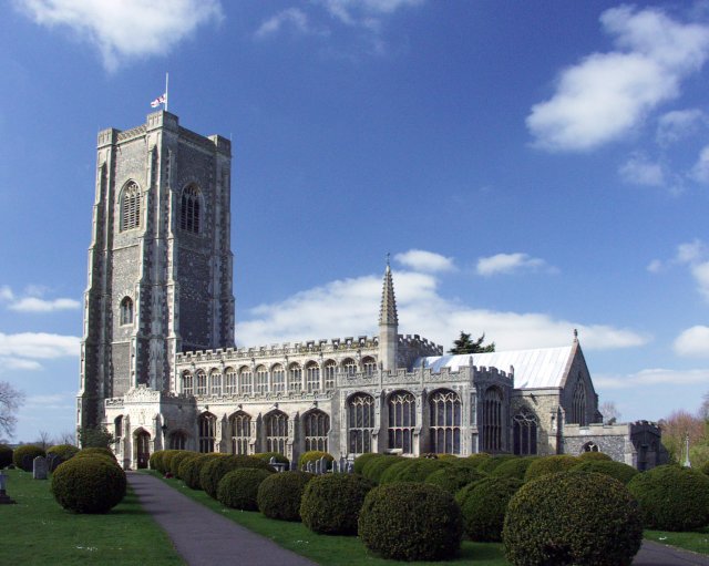
Great Bear's Hill Images

Images are sourced within 2km of 52.0985/0.75474433 or Grid Reference TL8848. Thanks to Geograph Open Source API. All images are credited.

Old railway bridge near Lavenham The bridge takes Bridge Street Road over the disused railway line which is now part of the St Edmund Way footpath. The line was the old GER line through Lavenham and Long Melford which connected Bury St Edmunds to the Stour Valley Line: <span class="nowrap"><a title="https://en.wikipedia.org/wiki/Long_Melford%E2%80%93Bury_St_Edmunds_branch_line" rel="nofollow ugc noopener" href="https://en.wikipedia.org/wiki/Long_Melford%E2%80%93Bury_St_Edmunds_branch_line">Link</a><img style="margin-left:2px;" alt="External link" title="External link - shift click to open in new window" src="https://s1.geograph.org.uk/img/external.png" width="10" height="10"/></span>
Old railway bridge near Lavenham
The bridge takes Bridge Street Road over the disused railway line which is now part of the St Edmund Way footpath. The line was the old GER line through Lavenham and Long Melford which connected Bury St Edmunds to the Stour Valley Line: LinkExternal link
Bridge Street Road, Lavenham
Footpath sign Footpath sign on Bridge Street Road; the tower of Lavenham Church can be seen in the distance.
Footpath sign
Footpath sign on Bridge Street Road; the tower of Lavenham Church can be seen in the distance.
Lavenham Church The tower of Lavenham Church viewed from the west across farmland.
Lavenham Church
The tower of Lavenham Church viewed from the west across farmland.
Bridge Street Road Bridge Street Road approaching Slough Farm.
Bridge Street Road
Bridge Street Road approaching Slough Farm.
Green Lane near Lavenham
Pillbox beside Bridge Street Road Pillbox beside Bridge Street Road near Lavenham.
Pillbox beside Bridge Street Road
Pillbox beside Bridge Street Road near Lavenham.
Bridge Street Road passing a pillbox
A field of broad beans A field of broad beans near Duntons Farm, beside Bridge Street Road.
A field of broad beans
A field of broad beans near Duntons Farm, beside Bridge Street Road.
Pasture land Pasture land near Dunton's Farm beside Bridge Street Road.
Pasture land
Pasture land near Dunton's Farm beside Bridge Street Road.
A134 looking north A route from Colchester to King's Lynn, next major place, Bury St Edmunds.
A134 looking north
A route from Colchester to King's Lynn, next major place, Bury St Edmunds.
A134 looking north A route from Colchester to King's Lynn, next major place, Bury St Edmunds.
A134 looking north
A route from Colchester to King's Lynn, next major place, Bury St Edmunds.
A134 looking north A route from Colchester to King's Lynn, next major place, Bury St Edmunds.
A134 looking north
A route from Colchester to King's Lynn, next major place, Bury St Edmunds.
A134 looking north A route from Colchester to King's Lynn, next major place, Bury St Edmunds.
A134 looking north
A route from Colchester to King's Lynn, next major place, Bury St Edmunds.
Bridleway near Slough Farm
Barn at Slough Farm
Barn at Slough Farm
Rookery Farm Cottages
Lavenham Walk This path follows the route of the Sudbury to Bury St Edmunds railway line, closed to passengers in April 1961.  At this point just west of Lavenham, the route is in a deep, shaded cutting and the undergrowth has crept in and across.
Lavenham Walk
This path follows the route of the Sudbury to Bury St Edmunds railway line, closed to passengers in April 1961. At this point just west of Lavenham, the route is in a deep, shaded cutting and the undergrowth has crept in and across.
Show me another place!

Great Bear's Hill is located at Grid Ref: TL8848 (Lat: 52.0985, Lng: 0.75474433)

Administrative County: Suffolk

District: Babergh

Police Authority: Suffolk

What 3 Words

///boardroom.serious.ladder. Near Lavenham, Suffolk

Related Wikis

Lineage Wood & Railway Track, Long Melford

Lineage Wood & Railway Track, Long Melford is a 78.7-hectare (194-acre) biological Site of Special Scientific Interest north-east of Long Melford in Suffolk...

The Railway Walks

The Railway Walks is a 25.3 hectare Local Nature Reserve which runs along parts of a former railway line between Sudbury and Lavenham in Suffolk. It is...

Holy Trinity Church, Long Melford

The Church of the Holy Trinity is a Grade I listed parish church of the Church of England in Long Melford, Suffolk, England. It is one of 310 medieval...

St Peter and St Paul's Church, Lavenham

St Peter and St Paul's Church, Lavenham is a Grade I listed parish church in the Church of England in Lavenham, Suffolk. It is a notable wool church and...

Nearby Amenities

Located within 500m of 52.0985,0.75474433
Ford: yes
Lat/Long: 52.0974018/0.7501877
The data included in this document is from www.openstreetmap.org. The data is made available under ODbL.

Have you been to Great Bear's Hill?

Leave your review of Great Bear's Hill below (or comments, questions and feedback).