Barnfields
Settlement in Staffordshire Staffordshire Moorlands
England
Barnfields
Barnfields is a small village located in the county of Staffordshire, England. Situated in the West Midlands region, it lies approximately 6 miles north of the town of Stafford. With a population of around 500 residents, Barnfields is a close-knit community that offers a peaceful and rural environment.
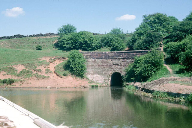
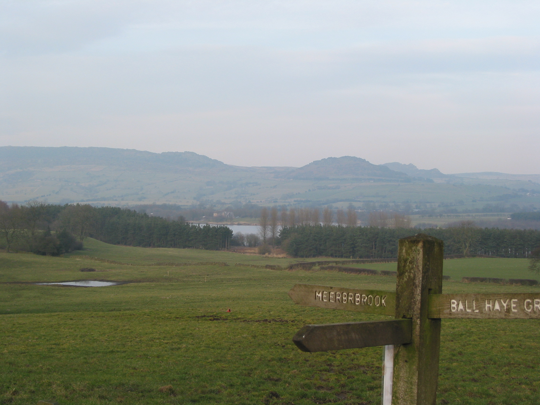
The village is characterized by its charming countryside setting, surrounded by rolling hills and picturesque landscapes. Barnfields is known for its agricultural heritage, with many of its inhabitants engaged in farming and other rural activities. The village is dotted with traditional farmhouses and barns, adding to its rustic charm.
Despite its small size, Barnfields offers a range of amenities to cater to the needs of its residents. There is a local primary school, providing education for children within the village and nearby areas. Additionally, the village has a community center, where various social and recreational activities take place throughout the year.
Barnfields is well-connected to nearby towns and cities, thanks to its proximity to major road networks. The A34 road runs close by, providing easy access to Stafford and other nearby towns. Public transportation options are limited, with only a few bus services passing through the village.
Overall, Barnfields is a tranquil and idyllic village that offers a peaceful retreat from the hustle and bustle of urban life. Its scenic surroundings and strong sense of community make it an attractive place to live for those seeking a rural lifestyle in Staffordshire.
If you have any feedback on the listing, please let us know in the comments section below.
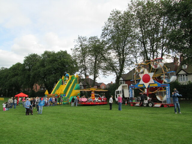
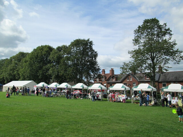
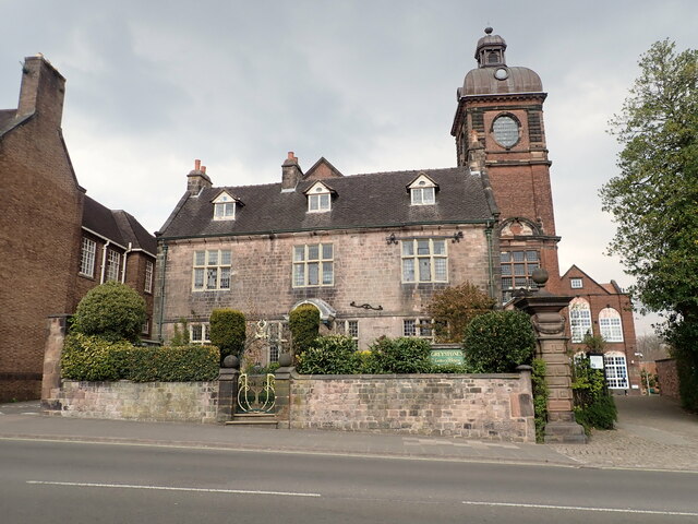
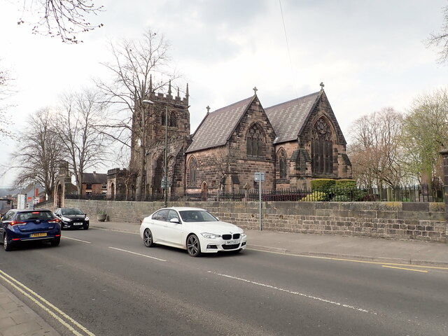
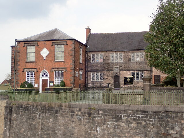
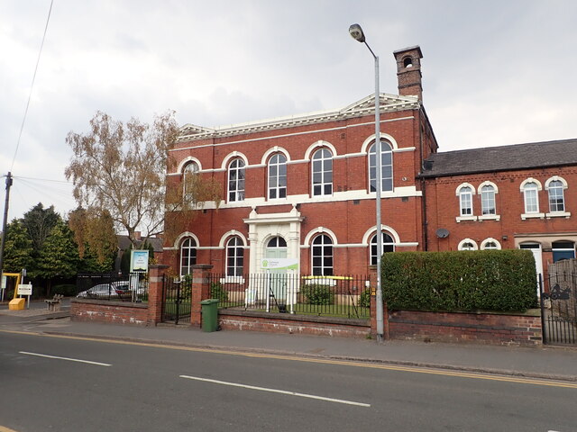
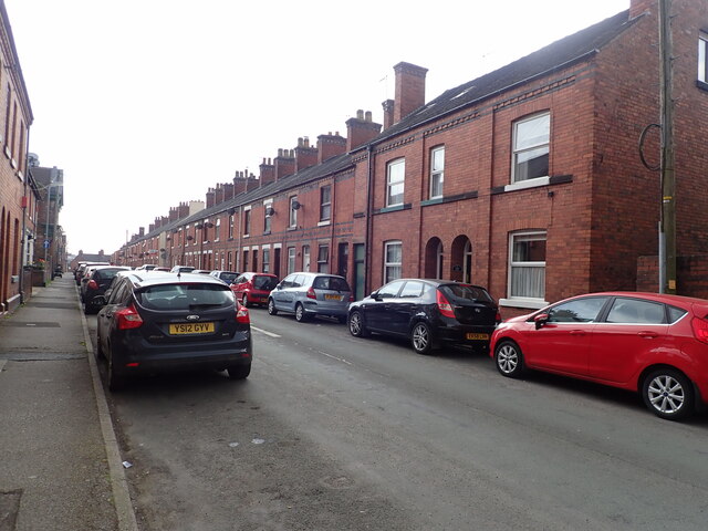
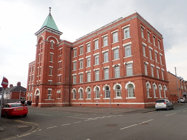
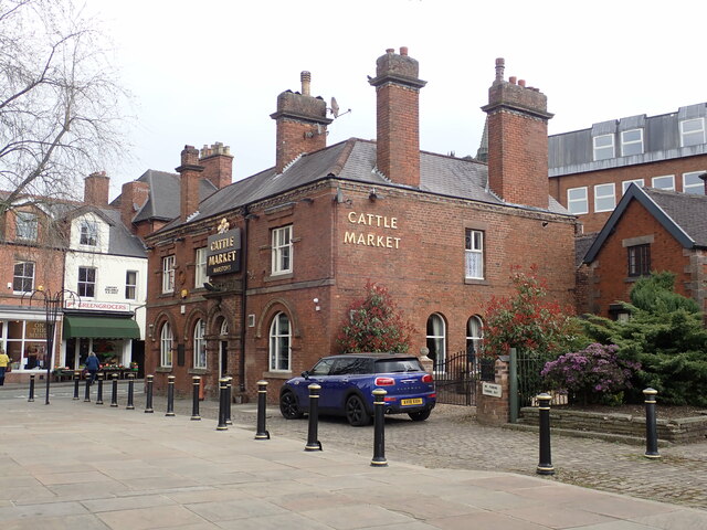
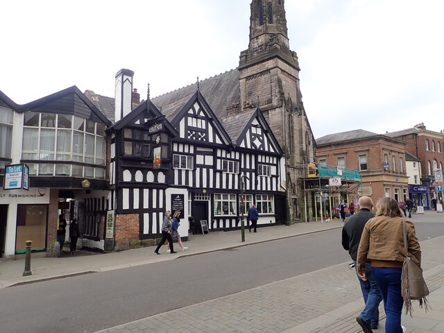
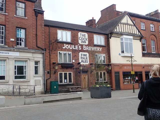
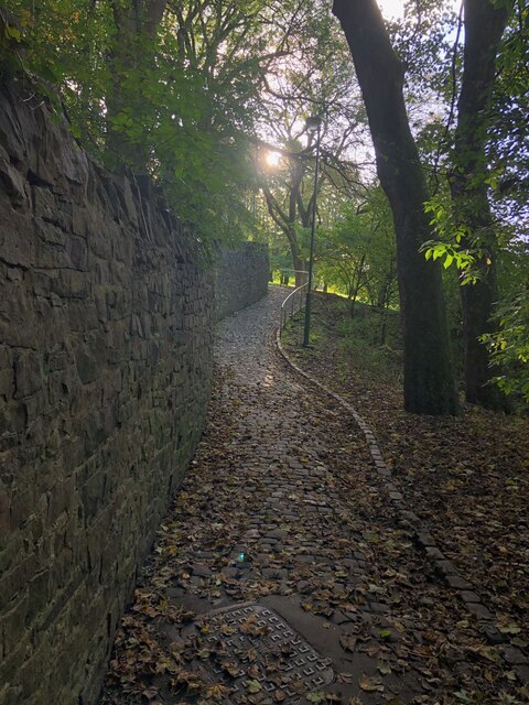
Barnfields Images
Images are sourced within 2km of 53.100161/-2.0313676 or Grid Reference SJ9755. Thanks to Geograph Open Source API. All images are credited.

Barnfields is located at Grid Ref: SJ9755 (Lat: 53.100161, Lng: -2.0313676)
Administrative County: Staffordshire
District: Staffordshire Moorlands
Police Authority: Staffordshire
What 3 Words
///responds.fuse.causes. Near Leek, Staffordshire
Nearby Locations
Related Wikis

Leek railway station
Leek railway station served the town of Leek, Staffordshire. It was opened by the North Staffordshire Railway in 1849. Passenger services to Uttoxeter...

Leek (Churnet Valley) railway station
Leek (Churnet Valley) railway station is the proposed and future terminus of the Churnet Valley Railway and is currently awaiting construction. It will...

All Saints' Church, Leek
All Saints' Church is an Anglican church in Leek, Staffordshire, England. It is a Grade I listed building. It was designed by Norman Shaw, and built in...
Staffordshire Moorlands
Staffordshire Moorlands is a local government district in Staffordshire, England. Its council, Staffordshire Moorlands District Council, is based in Leek...

St Edward the Confessor's Church, Leek
St Edward the Confessor's Church is an active Anglican church in Leek, Staffordshire, England. The building, which dates back to the 13th century, is listed...

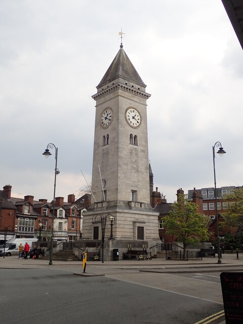
Nicholson War Memorial
The Nicholson War Memorial in Leek, Staffordshire, England is a 1925 war memorial. It was commissioned by local manufacturer Sir Arthur Nicholson and his...
Buxton & Leek College
Buxton & Leek College is a college of Further and Higher Education operating at their campuses and facilities in Buxton, Derbyshire, Leek, Staffordshire...

Leek, Staffordshire
Leek is a market town and civil parish in the county of Staffordshire, England, on the River Churnet. It is situated about 10 miles (16 km) north east...
Nearby Amenities
Located within 500m of 53.100161,-2.0313676Have you been to Barnfields?
Leave your review of Barnfields below (or comments, questions and feedback).