Woodcroft

Settlement in Staffordshire Staffordshire Moorlands

England

Woodcroft

Funfair in Leek A funfair on Westwood Recreation Ground in Leek.
Funfair in Leek Credit: David Weston

Woodcroft is a small village located in the county of Staffordshire, England. Situated approximately seven miles north of the county town of Stafford, Woodcroft boasts a population of around 500 residents. The village is nestled amidst picturesque countryside, offering stunning views of the Staffordshire Moorlands.

The history of Woodcroft dates back many centuries, with evidence of human settlement in the area from as early as the Iron Age. The village is known for its rich heritage and has several notable landmarks, including St. Mary's Church, a beautiful medieval parish church that dates back to the 12th century. The church features stunning stained glass windows and intricate stone carvings.

Woodcroft is primarily a residential area, with a close-knit community that takes great pride in maintaining the village's charm and character. The village is characterized by its quaint, traditional cottages, some of which have been standing for centuries.

Despite its small size, Woodcroft offers a range of amenities for its residents. These include a village hall, a local pub, and a primary school, providing a sense of community and convenience. The surrounding countryside provides ample opportunities for outdoor activities, such as hiking, cycling, and horse riding.

The village enjoys good transport links, with regular bus services connecting Woodcroft to Stafford and other nearby towns. The M6 motorway is also easily accessible, allowing for convenient travel to larger cities such as Birmingham and Manchester.

Overall, Woodcroft is a charming and historic village, offering a peaceful and idyllic place to live, while still providing easy access to amenities and nearby urban areas.

If you have any feedback on the listing, please let us know in the comments section below.
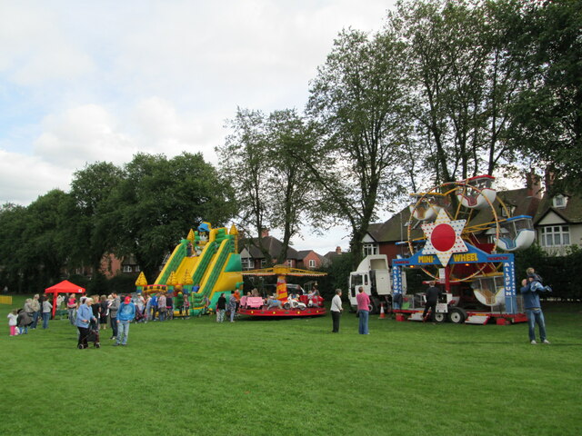
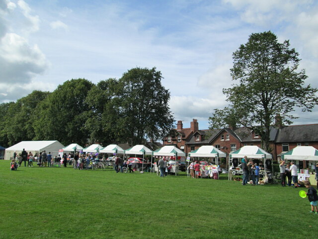
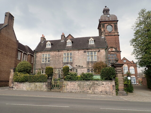
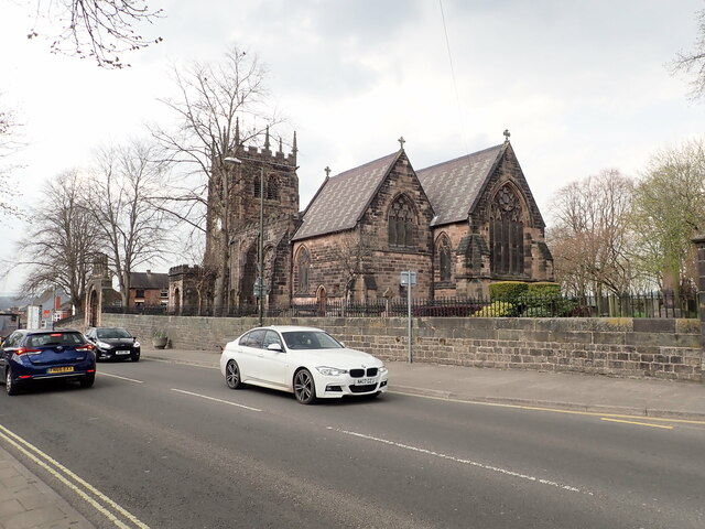
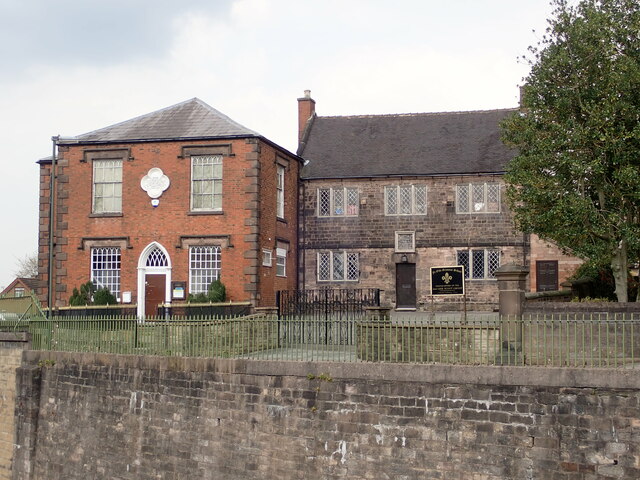
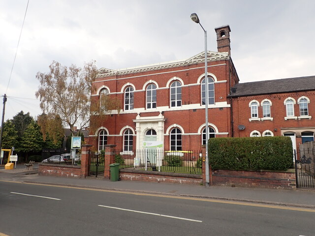
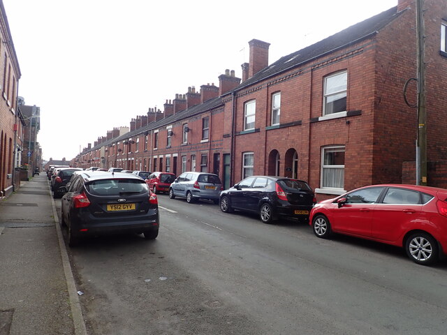
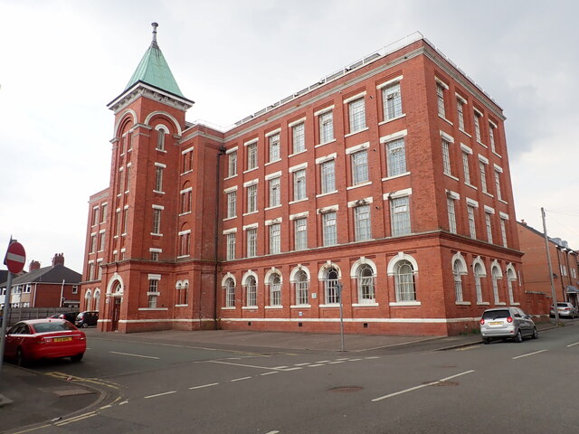
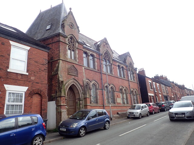
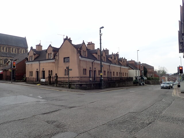
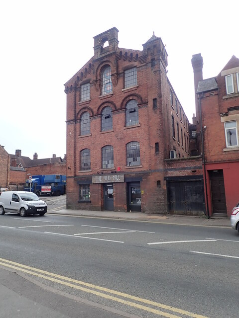
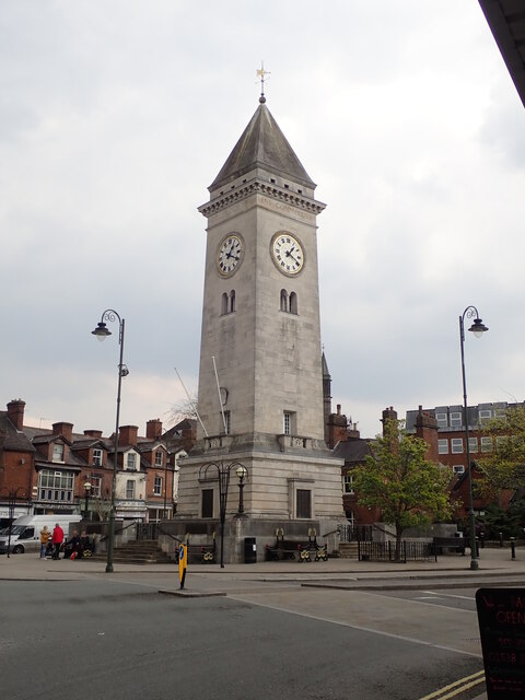
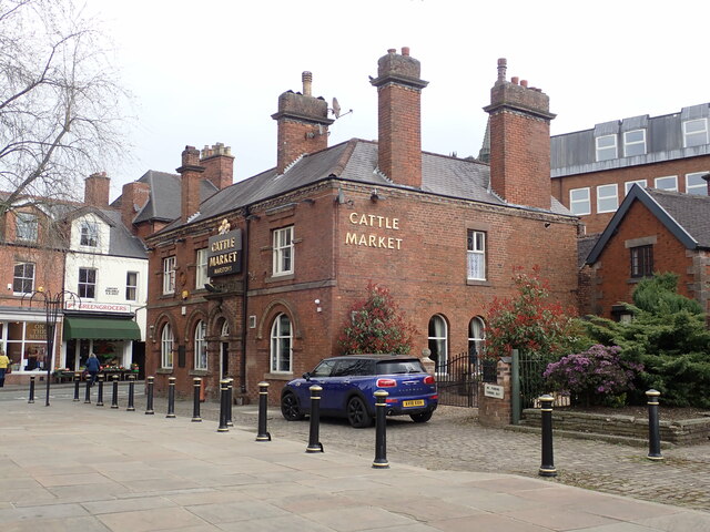
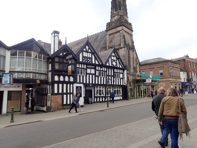
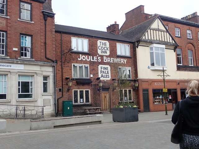
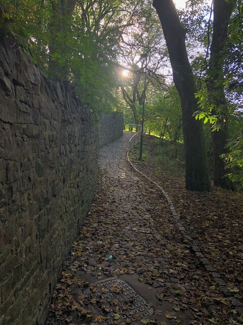
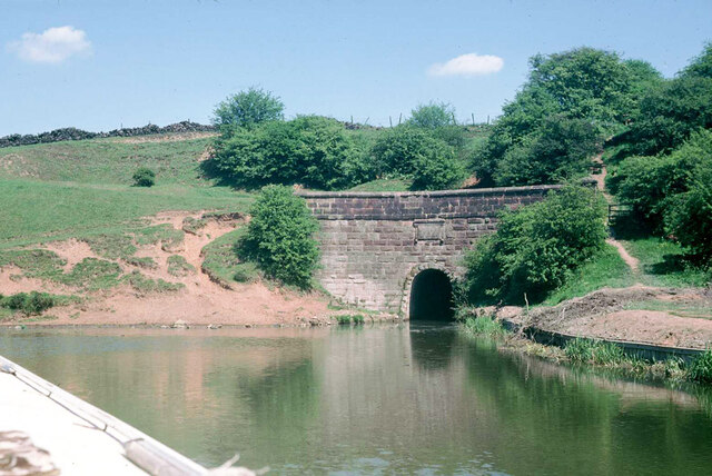
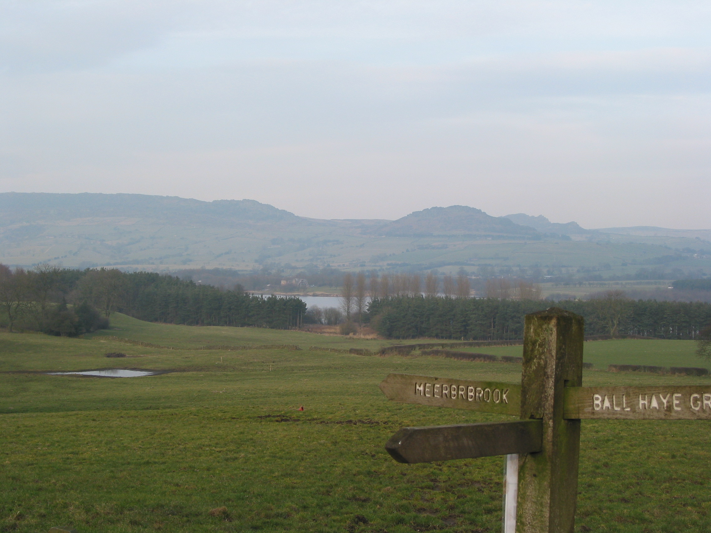
Woodcroft Images

Images are sourced within 2km of 53.099063/-2.0361011 or Grid Reference SJ9755. Thanks to Geograph Open Source API. All images are credited.

Funfair in Leek A funfair on Westwood Recreation Ground in Leek.
Funfair in Leek
A funfair on Westwood Recreation Ground in Leek.
Funfair in Leek Stalls at the fair on Westwood Recreation Ground in Leek.
Funfair in Leek
Stalls at the fair on Westwood Recreation Ground in Leek.
Greystones House This attractive 17th century house in Leek is a grade II* listed building. The tower behind belongs to the Nicholson Institute, now Leek Public Library. The Institute was built in 1882
Greystones House
This attractive 17th century house in Leek is a grade II* listed building. The tower behind belongs to the Nicholson Institute, now Leek Public Library. The Institute was built in 1882
Parish Church of St Edward the Confessor The Parish Church is Leek's only medieval church, dedicated to Edward, King of England between 1042-1066. <span class="nowrap"><a title="https://www.search.staffspasttrack.org.uk/Details.aspx?&ResourceID=5362" rel="nofollow ugc noopener" href="https://www.search.staffspasttrack.org.uk/Details.aspx?&ResourceID=5362">Link</a><img style="margin-left:2px;" alt="External link" title="External link - shift click to open in new window" src="https://s1.geograph.org.uk/img/external.png" width="10" height="10"/></span>
Parish Church of St Edward the Confessor
The Parish Church is Leek's only medieval church, dedicated to Edward, King of England between 1042-1066. LinkExternal link
The Old Grammar School, Leek Former school, dated 1723. Over the door an inscription reads "This building erected by the Earl of Macclesfield, Lord High Chancellor of Great Britain, Anno Domini, 1723". Now used by the 2nd Leek Scout Group.
The Old Grammar School, Leek
Former school, dated 1723. Over the door an inscription reads "This building erected by the Earl of Macclesfield, Lord High Chancellor of Great Britain, Anno Domini, 1723". Now used by the 2nd Leek Scout Group.
Gateway Church, West Street
Looking down Picton Street
Former Silk Mill on Waterloo Street Grade II listed building, now converted into flats.
Former Silk Mill on Waterloo Street
Grade II listed building, now converted into flats.
Hargreaves School building, Alsop Street Former school, built in 1873. The school was built for Leek Congregational Church and named after a former minister. It is listed grade II and now in use commercially.
Hargreaves School building, Alsop Street
Former school, built in 1873. The school was built for Leek Congregational Church and named after a former minister. It is listed grade II and now in use commercially.
Ash Almshouses, Leek Grade II listed almshouses on Broad Street. On the gable end is an inscription - "The gift of Elizabeth Ash, the eldest daughter of William Jolliffe". 
"An almshouse, for eight poor widows, was endowed in the year 1696, by Elizabeth Ash, widow, of this town.  Each widow is allowed two shillings per week, fuel, and a new gown once in two years." (from "A Topographical History of Staffordshire" by William Pitt)
Ash Almshouses, Leek
Grade II listed almshouses on Broad Street. On the gable end is an inscription - "The gift of Elizabeth Ash, the eldest daughter of William Jolliffe". "An almshouse, for eight poor widows, was endowed in the year 1696, by Elizabeth Ash, widow, of this town. Each widow is allowed two shillings per week, fuel, and a new gown once in two years." (from "A Topographical History of Staffordshire" by William Pitt)
The Old Mill, Haywood Street Grade II listed former Silk Mill, now converted to a restaurant and public house. It was built about 1876.
The Old Mill, Haywood Street
Grade II listed former Silk Mill, now converted to a restaurant and public house. It was built about 1876.
Clock tower War Memorial The war memorial was the gift to the town of Sir Arthur Nicholson (a local silk manufacturer), and his wife, in memory of their son, Lieutenant Basil Lee Nicholson and other local men killed in WWI. Made of Portland stone, it is grade II listed.
Clock tower War Memorial
The war memorial was the gift to the town of Sir Arthur Nicholson (a local silk manufacturer), and his wife, in memory of their son, Lieutenant Basil Lee Nicholson and other local men killed in WWI. Made of Portland stone, it is grade II listed.
The Cattle Market Public house on Fountain Street, Leek
The Cattle Market
Public house on Fountain Street, Leek
The Roebuck Inn Originally a timber-framed house but in long use as an inn. It is dated 1626 and grade II listed
The Roebuck Inn
Originally a timber-framed house but in long use as an inn. It is dated 1626 and grade II listed
The Cock Inn, Derby Street A pub has been on this site for over 300 years.
The Cock Inn, Derby Street
A pub has been on this site for over 300 years.
Cobbled footpath skirting edge of Brough Park
Leek Tunnel, Caldon Canal, Leek Branch, 1978 The west end of the narrow but high tunnel, 120 m long. We went through to the then limit of navigation, where a dredger and barge and what they were removing were blocking further progress - see <a href="https://www.geograph.org.uk/photo/1616909">SJ9754 : Last bridge on the Leek Branch, 1978</a> - and had to reverse back, including through the tunnel, because there was nowhere to wind. There is a big pool at this end of the tunnel, fortunately.
Leek Tunnel, Caldon Canal, Leek Branch, 1978
The west end of the narrow but high tunnel, 120 m long. We went through to the then limit of navigation, where a dredger and barge and what they were removing were blocking further progress - see SJ9754 : Last bridge on the Leek Branch, 1978 - and had to reverse back, including through the tunnel, because there was nowhere to wind. There is a big pool at this end of the tunnel, fortunately.
North of last bridge, Caldon Canal, Leek Branch, 1978 Looking from the bridge. There was a dredger and spoil barges just south of the bridge, presumably working north, but unattended at the time (Sunday). The winding hole on the left, when cleared out, was the last place full length boats could wind.
North of last bridge, Caldon Canal, Leek Branch, 1978
Looking from the bridge. There was a dredger and spoil barges just south of the bridge, presumably working north, but unattended at the time (Sunday). The winding hole on the left, when cleared out, was the last place full length boats could wind.
Show me another place!

Woodcroft is located at Grid Ref: SJ9755 (Lat: 53.099063, Lng: -2.0361011)

Administrative County: Staffordshire

District: Staffordshire Moorlands

Police Authority: Staffordshire

What 3 Words

///speedy.vine.powering. Near Leek, Staffordshire

Related Wikis

Leek railway station

Leek railway station served the town of Leek, Staffordshire. It was opened by the North Staffordshire Railway in 1849. Passenger services to Uttoxeter...

Barnfields

Barnfields (also Barnfield) is an area in Leek, Staffordshire, England.

Leek (Churnet Valley) railway station

Leek (Churnet Valley) railway station is the proposed and future terminus of the Churnet Valley Railway and is currently awaiting construction. It will...

All Saints' Church, Leek

All Saints' Church is an Anglican church in Leek, Staffordshire, England. It is a Grade I listed building. It was designed by Norman Shaw, and built in...

Staffordshire Moorlands

Staffordshire Moorlands is a local government district in Staffordshire, England. Its council, Staffordshire Moorlands District Council, is based in Leek...

St Edward the Confessor's Church, Leek

St Edward the Confessor's Church is an active Anglican church in Leek, Staffordshire, England. The building, which dates back to the 13th century, is listed...

Westwood Hall

Westwood Hall is a former stately home in Leek, Staffordshire, England. It is a Grade II listed building. It has been a school since 1921, and is now Westwood...

Westwood College, Leek

Westwood College, formerly known as Westwood High School is a mixed upper school located in Leek, Staffordshire, England. Westwood is set in the grounds...

Related Videos

Leek | Staffordshire | Walk | 4K

A walk around the beautiful town of Leek, known as Queen of the Staffordshire Moorlands. We start at the bottom of St. Edwards ...

Ladderedge Country Park Walk, English Countryside 4K

https://www.buymeacoffee.com/Daveswalks All support is hugely appreciated and it helps me keep the channel going! No talking ...

Visiting Leek | Staffordshire

Visiting the town of Leek in Staffordshire.

Nearby Amenities

Located within 500m of 53.099063,-2.0361011
Crossing
Crossing: traffic_signals
Lat/Long: 53.1010908/-2.0320025
Mini Roundabout
Direction: clockwise
Lat/Long: 53.1009661/-2.032235
Leek
Historic Railway: station
Railway: site
Lat/Long: 53.1004564/-2.0328586
Turning Circle
Lat/Long: 53.1014075/-2.0305253
Crossing
Crossing: uncontrolled
Crossing Markings: yes
Lat/Long: 53.0998834/-2.0328109
Barrier: cycle_barrier
Bicycle: yes
Foot: yes
Lat/Long: 53.0985089/-2.0312821
Recycling
Lat/Long: 53.1004181/-2.0329826
Barrier: height_restrictor
Lat/Long: 53.0946936/-2.0372172
Barrier: kissing_gate
Lat/Long: 53.0951924/-2.0398851
Speed Camera
Maxspeed: 30 mph
Lat/Long: 53.0957811/-2.0389171
Cattle Market
Lat/Long: 53.0976036/-2.0299392
Traffic Calming: hump
Lat/Long: 53.1028515/-2.0393135
Barrier: bollard
Lat/Long: 53.0996536/-2.0396164
Chantelle
Shop: hairdresser
Lat/Long: 53.0995398/-2.0395686
Fast Food
Rice 'N' Spice
Addr Postcode: ST13 8JF
Addr Street: Wallbridge Drive
Cuisine: indian
Fhrs Id: 1259814
Source Addr: FHRS Open Data
Lat/Long: 53.0995047/-2.0395978
Kindergarten
Wallbridge Playgroup
Lat/Long: 53.0995941/-2.0398461
Wallbridge Post & Times
Shop: convenience
Lat/Long: 53.0996335/-2.039816
Post Box
Collection Times: Mo-Fr 09:00; Sa 07:00
Ref: ST13 718
Royal Cypher: GR
Royal Cypher Wikidata: Q33102273
Lat/Long: 53.1013025/-2.0327408
Bus Stop
Barnfields, Junction Road / Morrisons Store
Bus: yes
Naptan AtcoCode: 3800C810400
Naptan Bearing: N
Naptan CommonName: Morrisons Store
Naptan Indicator: adj
Naptan Landmark: Safeway
Naptan LocalityName: Barnfields
Naptan NaptanCode: stagjpmg
Naptan ShortCommonName: Morrisons Store
Naptan Street: Junction Road
Naptan Verified: no
Public Transport: platform
Source: naptan_import
Lat/Long: 53.0998564/-2.031155
Bus Stop
Barnfields, Junction Road / Morrisons Store
Bus: yes
Naptan AtcoCode: 3800C810401
Naptan Bearing: S
Naptan BusStopType: CUS
Naptan CommonName: Morrisons Store
Naptan Indicator: opp
Naptan Landmark: Safeway
Naptan LocalityName: Barnfields
Naptan ShortCommonName: Morrisons Store
Naptan Street: Junction Road
Naptan Verified: no
Public Transport: platform
Source: naptan_import
Lat/Long: 53.1000003/-2.0311103
Bus Stop
Bowling Green
Bench: no
Bus: yes
Naptan AtcoCode: 3800C818001
Naptan Bearing: SW
Naptan BusStopType: CUS
Naptan CommonName: Bowling Green
Naptan Indicator: Opp
Naptan Landmark: Bowling Green
Naptan Street: Beggars Lane
Naptan Verified: no
Public Transport: platform
Shelter: no
Source: naptan_import
Lat/Long: 53.1029474/-2.0387989
Bus Stop
Barnfields, Wallbridge Drive / Thornhill Road
Bus: yes
Naptan AtcoCode: 3800C819101
Naptan Bearing: SE
Naptan CommonName: Thornhill Road
Naptan Indicator: adj
Naptan Landmark: Thornhill Road
Naptan LocalityName: Barnfields
Naptan NaptanCode: stagjtjt
Naptan ShortCommonName: Thornhill Rd
Naptan Street: Wallbridge Drive
Naptan Verified: no
Public Transport: platform
Source: naptan_import
Lat/Long: 53.0995575/-2.038951
Bus Stop
Barnfields, Wallbridge Drive / Thornhill Road
Bench: yes
Bus: yes
Naptan AtcoCode: 3800C819102
Naptan Bearing: NW
Naptan CommonName: Thornhill Road
Naptan Indicator: opp
Naptan Landmark: Thornhill Road
Naptan LocalityName: Barnfields
Naptan NaptanCode: stagjtjw
Naptan ShortCommonName: Thornhill Rd
Naptan Street: Wallbridge Drive
Naptan Verified: no
Public Transport: platform
Shelter: yes
Source: naptan_import
Lat/Long: 53.099728/-2.0398024
Bus Stop
Barnfields, Newcastle Road / Wallbridge Drive
Bus: yes
Naptan AtcoCode: 3800C819901
Naptan Bearing: SW
Naptan CommonName: Wallbridge Drive
Naptan Indicator: opp
Naptan Landmark: Wallbridge Drive
Naptan LocalityName: Barnfields
Naptan NaptanCode: stagjtpa
Naptan ShortCommonName: Wallbridge Dr
Naptan Street: Newcastle Road
Naptan Verified: no
Public Transport: platform
Source: naptan_import
Lat/Long: 53.0965269/-2.0372128
Bus Stop
Barnfields, Newcastle Road / Wallbridge Drive
Bus: yes
Naptan AtcoCode: 3800C819902
Naptan Bearing: NE
Naptan CommonName: Wallbridge Drive
Naptan Indicator: adj
Naptan Landmark: Wallbridge Drive
Naptan LocalityName: Barnfields
Naptan NaptanCode: stagjtpd
Naptan ShortCommonName: Wallbridge Dr
Naptan Street: Newcastle Road
Naptan Verified: no
Public Transport: platform
Source: naptan_import
Lat/Long: 53.0960428/-2.0386043
Bus Stop
Junction Road
Bench: yes
Bin: yes
Bus: yes
Lit: yes
Naptan AtcoCode: 3800C820601
Naptan Bearing: NE
Naptan CommonName: Junction Road
Naptan Indicator: Adj
Naptan Landmark: Junction Rd
Naptan Street: Broad St
Naptan Verified: no
Public Transport: platform
Shelter: yes
Source: naptan_import
Tactile Paving: yes
Lat/Long: 53.1012627/-2.0314675
Bus Stop
Barnfields, Newcastle Road / Campbell Avenue
Bus: yes
Naptan AtcoCode: 3800C822101
Naptan Bearing: SW
Naptan CommonName: Campbell Avenue
Naptan Indicator: opp
Naptan Landmark: Oak Terrace
Naptan LocalityName: Barnfields
Naptan NaptanCode: stagjwdj
Naptan ShortCommonName: Campbell Ave
Naptan Street: Newcastle Road
Naptan Verified: no
Public Transport: platform
Source: naptan_import
Lat/Long: 53.0982462/-2.0352161
Bus Stop
Barnfields, Newcastle Road / Campbell Avenue
Bus: yes
Naptan AtcoCode: 3800C822102
Naptan Bearing: NE
Naptan CommonName: Campbell Avenue
Naptan Indicator: adj
Naptan Landmark: Campbell Avenue
Naptan LocalityName: Barnfields
Naptan NaptanCode: stagjwdm
Naptan ShortCommonName: Campbell Ave
Naptan Street: Newcastle Road
Naptan Verified: no
Public Transport: platform
Source: naptan_import
Lat/Long: 53.0985878/-2.0352164
Mini Roundabout
Direction: clockwise
Lat/Long: 53.1001715/-2.0313967
Barrier: cycle_barrier
Bicycle: no
Foot: yes
Lat/Long: 53.0984392/-2.0312026
Turning Circle
Lat/Long: 53.0994676/-2.0298526
Barrier: lift_gate
Lat/Long: 53.0952822/-2.0346384
Crossing
Crossing: uncontrolled
Crossing Markings: yes
Lat/Long: 53.100346/-2.0329119
Crossing
Crossing: uncontrolled
Crossing Markings: yes
Lat/Long: 53.1004591/-2.0330358
Crossing
Crossing: uncontrolled
Crossing Markings: yes
Lat/Long: 53.100115/-2.0330611
Crossing
Crossing: uncontrolled
Crossing Markings: yes
Lat/Long: 53.0999451/-2.0335589
Post Box
Collection Times: Mo-Fr 09:00; Sa 07:00
Ref: ST13 709
Lat/Long: 53.0989319/-2.0350181
Telephone
Booth: K6
Check Date: 2021-05-14
Covered: booth
Phone: +44 1538 383791
Lat/Long: 53.0996062/-2.0395296
Post Box
Check Date: 2021-05-14
Post Box Type: pillar
Ref: ST13 761
Royal Cypher: EIIR
Royal Cypher Wikidata: Q33102113
Lat/Long: 53.0995935/-2.0395394
Barrier: yes
Lat/Long: 53.0969063/-2.0321291
Barrier: yes
Lat/Long: 53.0969164/-2.0324946
Barrier: lift_gate
Lat/Long: 53.0967353/-2.0333457
Barrier: lift_gate
Lat/Long: 53.0968891/-2.0336474
Barrier: lift_gate
Lat/Long: 53.096802/-2.0331467
Bicycle Parking
Bicycle Parking: stands
Capacity: 10
Lat/Long: 53.1001152/-2.0320469
Bench
Lat/Long: 53.0986589/-2.0298521
Bench
Lat/Long: 53.0988726/-2.0301985
Bench
Lat/Long: 53.0993447/-2.0289777
Bench
Lat/Long: 53.0986472/-2.0293214
Wall Hill
Power: substation
Ref: 2468
Lat/Long: 53.1005523/-2.0315519
Bench
Lat/Long: 53.098877/-2.029133
Bench
Lat/Long: 53.0988111/-2.0294509
Bench
Lat/Long: 53.099099/-2.0300649
Bench
Lat/Long: 53.09885/-2.0294252
Bench
Lat/Long: 53.0989553/-2.0294525
Bench
Lat/Long: 53.0991224/-2.0295287
Crossing
Crossing: uncontrolled
Crossing Markings: yes
Lat/Long: 53.1000038/-2.032941
Crossing
Crossing Island: yes
Lat/Long: 53.1009112/-2.0324154
Crossing
Crossing Island: yes
Lat/Long: 53.1008905/-2.0321157
Crossing
Crossing: unmarked
Crossing Markings: no
Lat/Long: 53.1005754/-2.0335349
Crossing
Crossing Island: no
Lat/Long: 53.1010434/-2.0323277
Crossing
Crossing: unmarked
Crossing Markings: no
Tactile Paving: yes
Lat/Long: 53.0991921/-2.0344291
Addr Housenumber: 41
Addr Street: Beggars Lane
Lat/Long: 53.1019586/-2.0396889
Waste Basket
Lat/Long: 53.1010875/-2.0381175
Addr Housenumber: 37
Addr Street: Beggars Lane
Lat/Long: 53.102202/-2.0395431
Addr Housenumber: 43
Addr Street: Beggars Lane
Lat/Long: 53.1018784/-2.0397084
Addr Housenumber: 35
Addr Street: Beggars Lane
Lat/Long: 53.1022904/-2.0394614
Addr Housenumber: 31
Addr Street: Beggars Lane
Lat/Long: 53.1024609/-2.0393064
Addr Housenumber: 33
Addr Street: Beggars Lane
Lat/Long: 53.1023453/-2.0394274
Addr Housenumber: 39
Addr Street: Beggars Lane
Lat/Long: 53.1021516/-2.0395777
Addr Housenumber: 27
Addr Street: Beggars Lane
Lat/Long: 53.102598/-2.0392158
Addr Housenumber: 29
Addr Street: Beggars Lane
Lat/Long: 53.1024988/-2.0392879
Addr Housenumber: 25
Addr Street: Beggars Lane
Lat/Long: 53.1026509/-2.039194
Waste Basket
Lat/Long: 53.1012736/-2.0314337
Parcel Locker
Brand: Amazon Hub
Brand Wikidata: Q100274430
Lat/Long: 53.1009321/-2.0329291
The data included in this document is from www.openstreetmap.org. The data is made available under ODbL.

Have you been to Woodcroft?

Leave your review of Woodcroft below (or comments, questions and feedback).