Shorne Hill

Hill, Mountain in Kent Gravesham

England

Shorne Hill

Houses on Gravesend Road (A226)
Houses on Gravesend Road (A226) Credit: JThomas

Shorne Hill is a prominent hill located in the county of Kent, England. Situated in the Shorne village, this hill offers picturesque views and is a popular destination for outdoor enthusiasts and nature lovers alike.

Standing at an elevation of approximately 117 meters (384 feet), Shorne Hill is classified as a hill rather than a mountain due to its height. Despite this, it still provides breathtaking panoramic views of the surrounding countryside, including the North Downs, the Thames Estuary, and the iconic Dartford Bridge.

The hill is covered in lush greenery, with a variety of trees and plants adorning its slopes. It is a haven for wildlife, attracting numerous bird species, small mammals, and insects. The area surrounding Shorne Hill is also home to several nature reserves, including the nearby Cobham Woods and Shorne Woods Country Park, which further enhance the natural beauty of the region.

For those seeking outdoor activities, Shorne Hill offers various walking and hiking trails that wind their way up its slopes. Visitors can explore the hill at their own pace, enjoying the peaceful atmosphere and stunning views along the way. Additionally, the hill is a popular spot for paragliding and kite flying, attracting enthusiasts from all over the region.

Shorne Hill is easily accessible by road, and there are parking facilities available for visitors. It is a tranquil escape from the hustle and bustle of everyday life, offering a chance to connect with nature and enjoy the beauty of the Kent countryside.

If you have any feedback on the listing, please let us know in the comments section below.
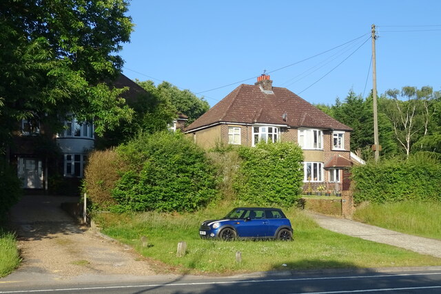
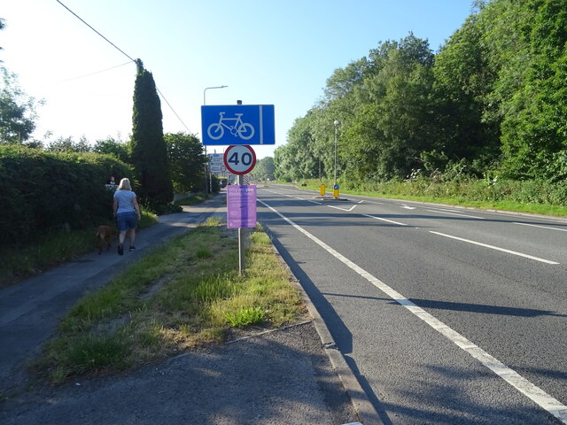
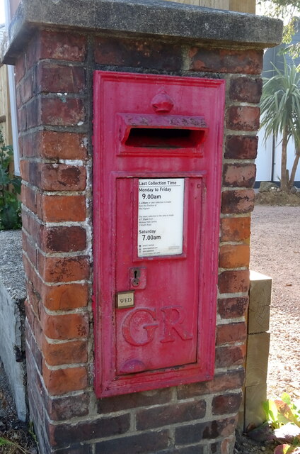
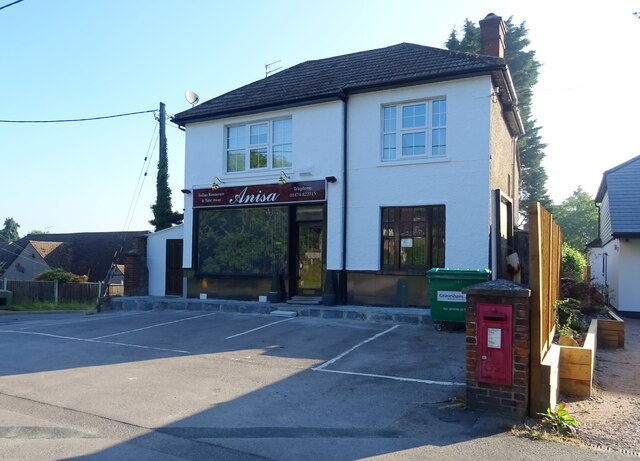
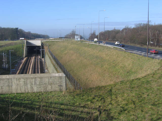
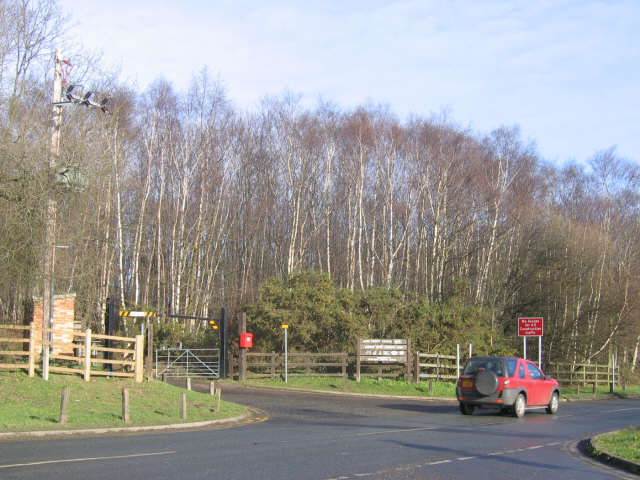
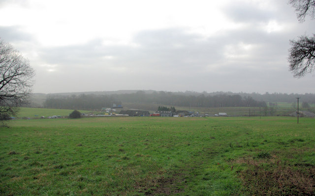
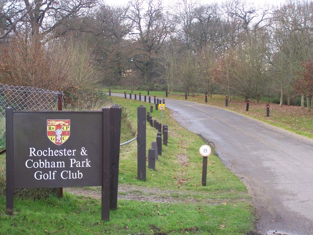
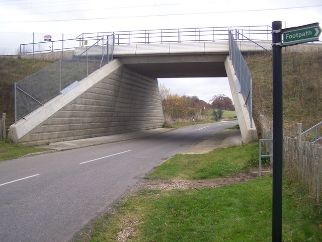
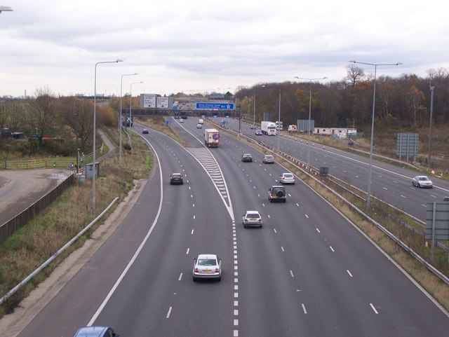
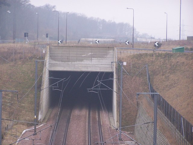
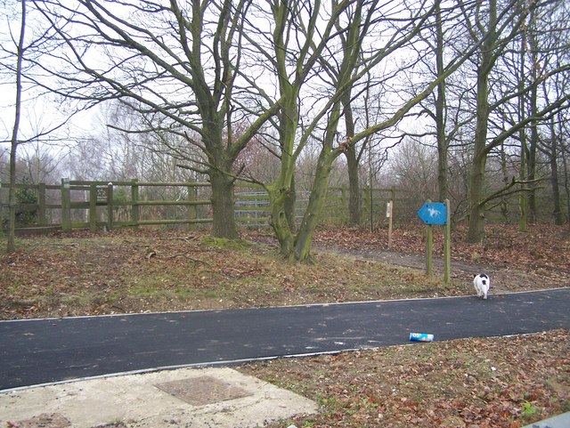
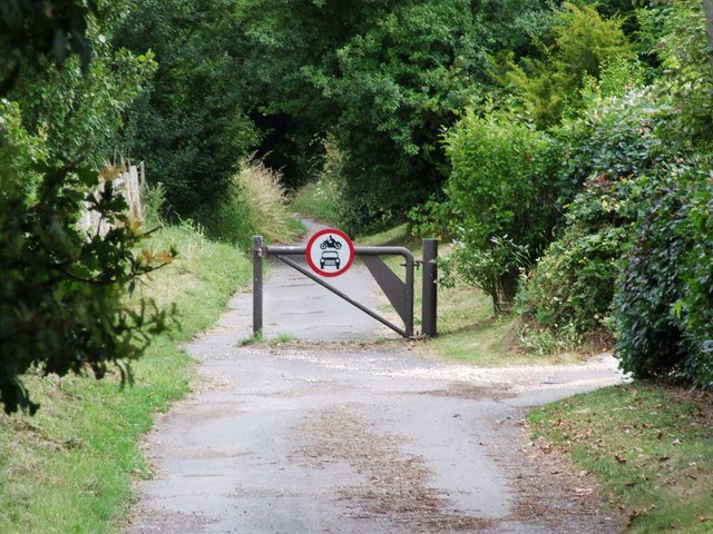
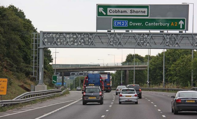
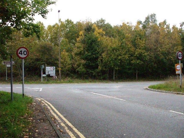
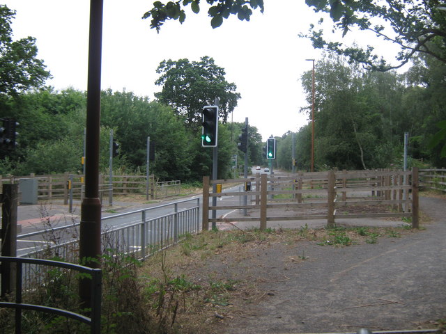
Shorne Hill Images

Images are sourced within 2km of 51.415145/0.42792394 or Grid Reference TQ6871. Thanks to Geograph Open Source API. All images are credited.

Houses on Gravesend Road (A226)
Gravesend Road (A226) Towards Rochester.
Gravesend Road (A226)
Towards Rochester.
George V postbox on Gravesend Road, Higham Postbox No. ME3 198.
See <a href="https://www.geograph.org.uk/photo/7221433">TQ7071 : Indian restaurant on Gravesend Road, Higham</a> for context.
George V postbox on Gravesend Road, Higham
Postbox No. ME3 198. See TQ7071 : Indian restaurant on Gravesend Road, Higham for context.
Indian restaurant on Gravesend Road, Higham Showing position of Postbox No. ME3 198.
See <a href="https://www.geograph.org.uk/photo/7221430">TQ7071 : George V postbox on Gravesend Road, Higham</a> for postbox.
Indian restaurant on Gravesend Road, Higham
Showing position of Postbox No. ME3 198. See TQ7071 : George V postbox on Gravesend Road, Higham for postbox.
CTRL and A2 at Shorne The CTRL (Channel Tunnel Rail Link) running parallel to the A2 at the (road) junction for Shorne and Cobham.
CTRL and A2 at Shorne
The CTRL (Channel Tunnel Rail Link) running parallel to the A2 at the (road) junction for Shorne and Cobham.
Entrance to Shorne Wood Country Park
View towards Park Pale Park Pale is by the A2 just about where it becomes the M2. The Channel Tunnel Rail Link (CTRL) may also mistily be seen.
View towards Park Pale
Park Pale is by the A2 just about where it becomes the M2. The Channel Tunnel Rail Link (CTRL) may also mistily be seen.
Entrance to Rochester and Cobham Golf Course On small road that goes over M2 and CTRL, from Shorne.
Also part of a footpath from Shorne to Cobham, goes through the golf course on a well marked route. Although beware flying golfballs from amateur golfers...
Entrance to Rochester and Cobham Golf Course
On small road that goes over M2 and CTRL, from Shorne. Also part of a footpath from Shorne to Cobham, goes through the golf course on a well marked route. Although beware flying golfballs from amateur golfers...
CTRL railbridge over road Unnamed road heads towards Shorne from Rochester and Cobham Golf Course.
Also part of a footpath from Cobham to Higham and Shorne.
Footpath on right heads towards Knight's Place, but maybe diverted or blocked as footpath on other side of Place is diverted. Railway carries fast trains from Ashford/Folkestone to London, heading right to left.
CTRL railbridge over road
Unnamed road heads towards Shorne from Rochester and Cobham Golf Course. Also part of a footpath from Cobham to Higham and Shorne. Footpath on right heads towards Knight's Place, but maybe diverted or blocked as footpath on other side of Place is diverted. Railway carries fast trains from Ashford/Folkestone to London, heading right to left.
A2 becomes M2 A2 from London/M2 now becomes Motorway, hence blue signs. Then carries on over Medway Bridge, to Medway Towns then to South.
Road to left heads to A289 Wainscott By-pass heading to Isle of Grain and Medway Tunnel. Taken from Road bridge and footpath from Cobham to Shorne via Golf course.
A2 becomes M2
A2 from London/M2 now becomes Motorway, hence blue signs. Then carries on over Medway Bridge, to Medway Towns then to South. Road to left heads to A289 Wainscott By-pass heading to Isle of Grain and Medway Tunnel. Taken from Road bridge and footpath from Cobham to Shorne via Golf course.
Road Bridge over CTRL Offramp from A2 dual carriageway meets roundabout (unseen on left) leading to Cobham, Cobham Hall School or Shorne. Channel Tunnel Rail Link heads to London from Ashford, via new Ebbsfleet Station.
Road Bridge over CTRL
Offramp from A2 dual carriageway meets roundabout (unseen on left) leading to Cobham, Cobham Hall School or Shorne. Channel Tunnel Rail Link heads to London from Ashford, via new Ebbsfleet Station.
Horse Bridleway Entrance into Shorne Wood Country Park From Brewer's Road near A2 dual carriageway. Note; large blue sign.
Shorne Wood Park has a circular route around the park for horses to take with no car or foot traffic to disturb them.
Horse Bridleway Entrance into Shorne Wood Country Park
From Brewer's Road near A2 dual carriageway. Note; large blue sign. Shorne Wood Park has a circular route around the park for horses to take with no car or foot traffic to disturb them.
Bowesden Lane, Shorne
Exit for Cobham & Shorne
Approaching M2 Motorway
Thong turn-off - A2, Kent Yes, there is a village called Thong, this junction is on the eastbound carriageway heading towards the M2.
Thong turn-off - A2, Kent
Yes, there is a village called Thong, this junction is on the eastbound carriageway heading towards the M2.
Bridleway crosses Brewers Road A circular bridleway route from Shorne Wood Country Park crosses the road and heads into Brewers Wood.
Bridleway crosses Brewers Road
A circular bridleway route from Shorne Wood Country Park crosses the road and heads into Brewers Wood.
Shorne Wood Visitor Centre and pond Visitor Centre close to the car park on Brewers Road. 
Has a cafe, local information point, shop and most important.. toilets. 
Also trampers (electric disabled 4x4 buggies) can be hired from here as well. Various routes around the park, start and end here. 
Small nature pond seen in background on left.
Shorne Wood Visitor Centre and pond
Visitor Centre close to the car park on Brewers Road. Has a cafe, local information point, shop and most important.. toilets. Also trampers (electric disabled 4x4 buggies) can be hired from here as well. Various routes around the park, start and end here. Small nature pond seen in background on left.
Show me another place!

Shorne Hill is located at Grid Ref: TQ6871 (Lat: 51.415145, Lng: 0.42792394)

Administrative County: Kent

District: Gravesham

Police Authority: Kent

What 3 Words

///listed.curvy.bars. Near Strood, Kent

Related Wikis

Shorne

Shorne is a village and civil parish in the borough of Gravesham in Kent, England. The parish lies 3 miles (4.8 km) east of Gravesend. Most of the land...

Shorne Wood Country Park

Shorne Wood Country Park is located between Strood and Gravesend, in the English county of Kent. It was once part of a large estate, later passed to the...

Great Crabbles Wood

Great Crabbles Wood is a 33-hectare (82-acre) biological Site of Special Scientific Interest north-west of Rochester in Kent.Most of the wood is mixed...

Shorne and Ashenbank Woods

Shorne and Ashenbank Woods is a 197.4-hectare (488-acre) biological Site of Special Scientific Interest between Rochester and Gravesend in Kent. Part of...

Thong, Kent

Thong is a hamlet southeast of Gravesend in Kent, England. The population of the hamlet is included in the civil parish of Shorne. It has frequently been...

Chalk, Kent

Chalk is a village and since 1935 a former civil parish which adjoins the east of Gravesend, Kent, England. As is intuitive, its name comes from the Saxon...

Gravesham

Gravesham ( GRAYV-shəm) is a local government district with borough status in north-west Kent, England. The council is based in its largest town of Gravesend...

Gads Hill Place

Gads Hill Place in Higham, Kent, sometimes spelt Gadshill Place and Gad's Hill Place, was the country home of Charles Dickens, the most successful British...

Nearby Amenities

Located within 500m of 51.415145,0.42792394
Shorne
Created By: Potlatch 0.7b
Place: village
Source: npe
Lat/Long: 51.4131534/0.4330411
Bus Stop
Village Hall
Bus: yes
Naptan AtcoCode: 2400A017520A
Naptan Bearing: S
Naptan CommonName: Village Hall
Naptan Indicator: S-bound
Naptan Landmark: O/S Village Hall
Naptan NaptanCode: kntatgjt
Naptan Street: The Street
Naptan Verified: no
Public Transport: platform
Source: naptan_import
Lat/Long: 51.4145585/0.4307599
Bus Stop
Village Hall
Bus: yes
Naptan AtcoCode: 2400A017530A
Naptan Bearing: N
Naptan CommonName: Village Hall
Naptan Indicator: N-bound
Naptan Landmark: O/S Village Hall
Naptan NaptanCode: kntatgjw
Naptan Street: The Street
Naptan Verified: no
Public Transport: platform
Source: naptan_import
Lat/Long: 51.4142698/0.4305143
Barrier: cycle_barrier
Foot: yes
Lat/Long: 51.4165453/0.429178
Upper Ifield
Is In: Shorne
Place: hamlet
Lat/Long: 51.4136132/0.421727
Shorne Primitive Methodist chapel
Old Amenity: place_of_worship
Old Denomination: methodist
Old Religion: christian
Source: OS_OpenData_StreetView
Lat/Long: 51.4147381/0.4308336
Shorne Hill
Ele: 90
Ele Local: 95
Natural: peak
Source: OS_OpenData_StreetView
Lat/Long: 51.4149855/0.4277636
Pub
Rose and Crown
Addr City: Gravesend
Addr Housenumber: 32
Addr Postcode: DA12 3EA
Addr Street: The Street
Addr Subdistrict: Shorne
Fhrs Id: 727006
Source Addr: ratings.food.gov.uk
Lat/Long: 51.4135176/0.4305051
Place Of Worship
St Katherines Chapel
Religion: christian
Source: OS 1:25k
Wikidata: Q26291818
Lat/Long: 51.4169087/0.4320334
Access: permissive
Barrier: lift_gate
Foot: yes
Motor Vehicle: no
Lat/Long: 51.4158998/0.4296687
Telephone
Booth: K6
Covered: booth
Operator: British Telecom
Phone: +44 1474 822378
Lat/Long: 51.4152484/0.4306939
Bench
Backrest: yes
Lat/Long: 51.415264/0.4306288
Post Box
Collection Times: Mo-Fr 17:00; Sa 09:00
Drive Through: no
Operator: Royal Mail
Post Box Type: pillar
Ref: DA12 31
Royal Cypher: EIIR
Royal Cypher Wikidata: Q33102113
Lat/Long: 51.415106/0.4305927
Shorne Village Store
Addr City: Shorne
Addr Housenumber: 13A
Addr Postcode: DA12 3EA
Addr Street: The Street
Fhrs Id: 127271
Shop: convenience
Source: ratings.food.gov.uk
Lat/Long: 51.4143359/0.4308136
Village Hall
Bus: yes
Public Transport: stop_position
Lat/Long: 51.4142644/0.4305848
Village Hall
Bus: yes
Public Transport: stop_position
Lat/Long: 51.4145656/0.4306383
The data included in this document is from www.openstreetmap.org. The data is made available under ODbL.

Have you been to Shorne Hill?

Leave your review of Shorne Hill below (or comments, questions and feedback).