Dane Hill

Hill, Mountain in Cambridgeshire East Cambridgeshire

England

Dane Hill

Farmland seen from the back of Kennett Churchyard
Farmland seen from the back of Kennett Churchyard Credit: Basher Eyre

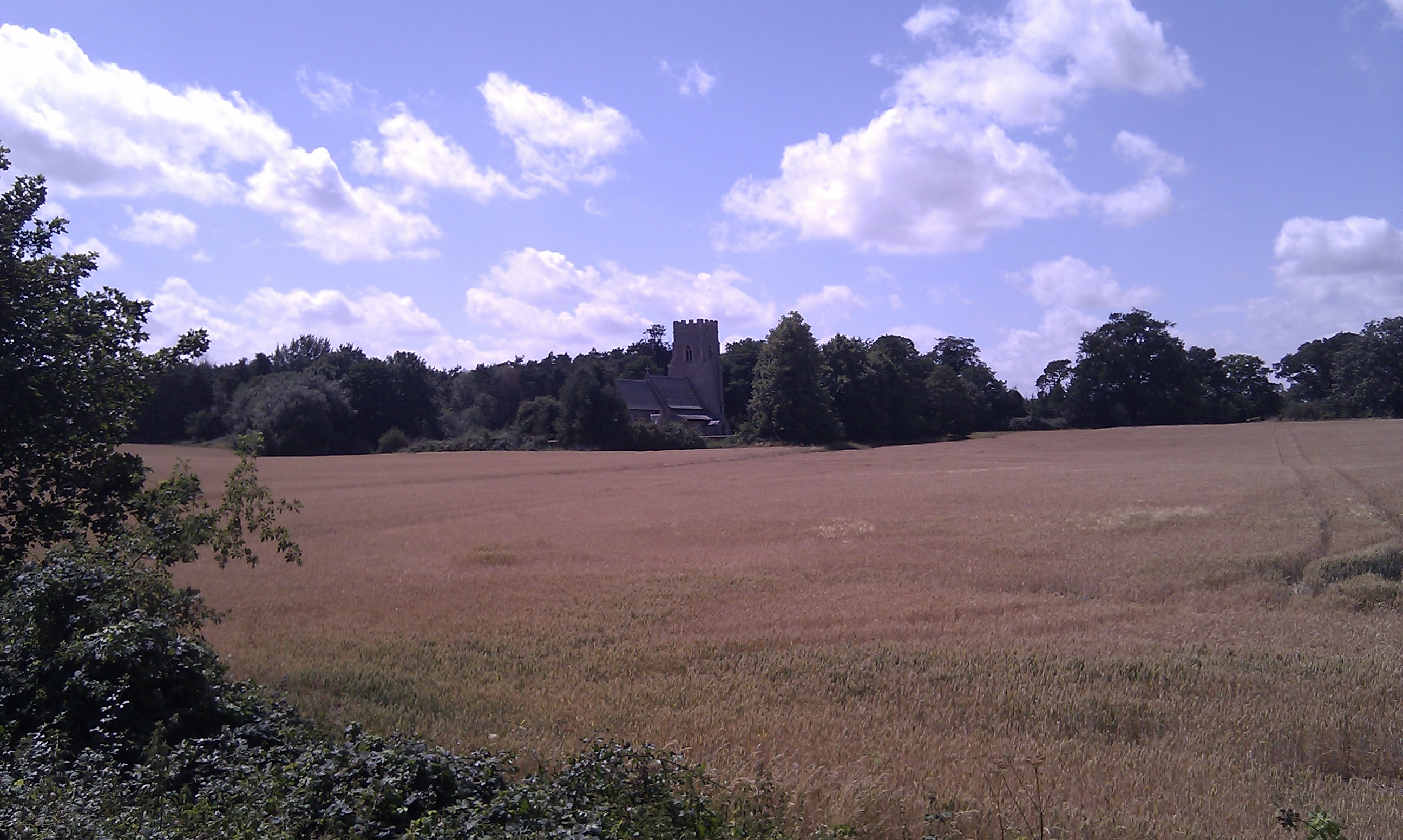
Dane Hill is a small hill located in the county of Cambridgeshire, England. Situated near the village of Danehill, it is part of the beautiful landscape that characterizes this region. While it may not meet the criteria of a mountain due to its relatively modest elevation, it still offers breathtaking views of the surrounding countryside.

Rising to a height of approximately 110 meters (360 feet), Dane Hill is covered in lush greenery, featuring a mix of grass and shrubs. Its gentle slopes make it accessible to hikers and nature enthusiasts of all abilities. The hill is a popular destination for locals and visitors alike, providing a peaceful and tranquil setting for outdoor activities such as walking, picnicking, or just enjoying the panoramic views.

The summit of Dane Hill provides a stunning vantage point, offering a sweeping vista of the Cambridgeshire countryside. On clear days, one can see as far as the distant city of Cambridge, which is approximately 20 kilometers (12 miles) to the northeast. The picturesque landscape is dotted with charming villages, rolling fields, and meandering rivers, creating a picturesque backdrop for any nature lover.

Dane Hill is also home to a variety of wildlife, including birds, rabbits, and occasional deer, making it an appealing spot for nature photographers and birdwatchers. With its peaceful atmosphere and untouched natural beauty, Dane Hill is a hidden gem in the Cambridgeshire countryside, inviting visitors to escape the hustle and bustle of everyday life and immerse themselves in the tranquility of nature.

If you have any feedback on the listing, please let us know in the comments section below.
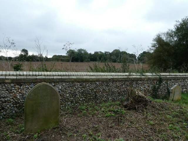
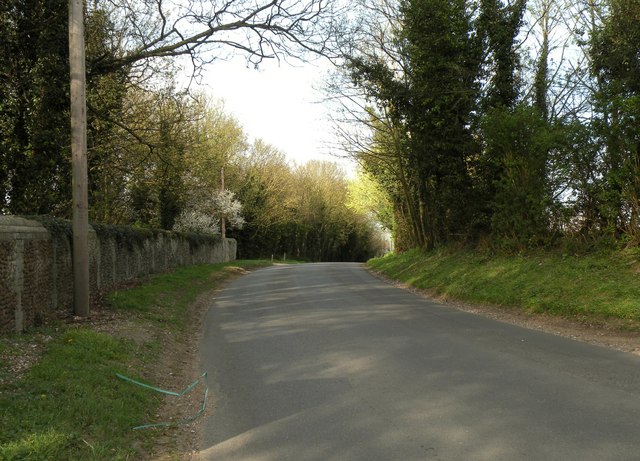
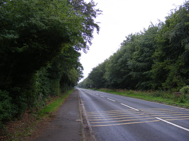
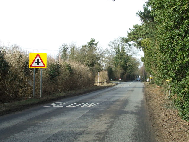
Dane Hill Images

Images are sourced within 2km of 52.28357/0.47404447 or Grid Reference TL6867. Thanks to Geograph Open Source API. All images are credited.

Farmland seen from the back of Kennett Churchyard
Dane Hill Road in Kennett
B1506 Bury Road Looking towards Lanwades Hall near Ash Tree Veterinary Centre at Kennett Park
B1506 Bury Road
Looking towards Lanwades Hall near Ash Tree Veterinary Centre at Kennett Park
B1506 Bury Road Looking towards Kennett End near Ash Tree Veterinary Centre at Kennett Park
B1506 Bury Road
Looking towards Kennett End near Ash Tree Veterinary Centre at Kennett Park
Kentford Park Off the B1506 Bury Road
Kentford Park
Off the B1506 Bury Road
Ash Tree Veterinary Centre 6 Pilgrim Court, Kennett
Off the B1506 Bury Road
<span class="nowrap"><a title="http://www.ashtreevets.com/" rel="nofollow ugc noopener" href="http://www.ashtreevets.com/">Link</a><img style="margin-left:2px;" alt="External link" title="External link - shift click to open in new window" src="https://s1.geograph.org.uk/img/external.png" width="10" height="10"/></span>
Ash Tree Veterinary Centre
6 Pilgrim Court, Kennett Off the B1506 Bury Road LinkExternal link
Ash Tree Veterinary Centre sign 6 Pilgrim Court, Kennett,
<span class="nowrap"><a title="http://www.ashtreevets.com/" rel="nofollow ugc noopener" href="http://www.ashtreevets.com/">Link</a><img style="margin-left:2px;" alt="External link" title="External link - shift click to open in new window" src="https://s1.geograph.org.uk/img/external.png" width="10" height="10"/></span>
Ash Tree Veterinary Centre sign
6 Pilgrim Court, Kennett, LinkExternal link
New Housing Development at Kentford Manor sign Off the B1506 Bury Road
New Housing Development at Kentford Manor sign
Off the B1506 Bury Road
Kentford Manor Development Road Off the B1506 Bury Road
Kentford Manor Development Road
Off the B1506 Bury Road
Kentford Manor Development sign Off the B1506 Bury Road
Kentford Manor Development sign
Off the B1506 Bury Road
Kennett Park Development signs Off the B1506 Bury Road
Kennett Park Development signs
Off the B1506 Bury Road
Pilgrim Court, Kennett <span class="nowrap"><a title="https://en.wikipedia.org/wiki/Kennett,_Cambridgeshire" rel="nofollow ugc noopener" href="https://en.wikipedia.org/wiki/Kennett,_Cambridgeshire">Link</a><img style="margin-left:2px;" alt="External link" title="External link - shift click to open in new window" src="https://s1.geograph.org.uk/img/external.png" width="10" height="10"/></span>
Pilgrim Court, Kennett
Crossroads Crossroads ahead near to Kennett, Suffolk.
Crossroads
Crossroads ahead near to Kennett, Suffolk.
Crossroad Sign Crossroad road sign near to Kennett, Suffolk.
Crossroad Sign
Crossroad road sign near to Kennett, Suffolk.
The Bell Inn, Kentford
Pig farm near Kennett
Eastbound A14, Station Road Bridge The A14 is a major road which runs for 129 miles from the Port of Felixstowe to the Catthorpe Interchange, the junction of the M1 and M6 motorways near Rugby.

The route linking Rugby (and therefore the West Midlands and the north of England via the motorway network) to East Anglia and the ports of Felixstowe and Harwich is incredibly important and incredibly busy (Felixstowe is the UK's principal container port and the A14 is the road between Felixstowe and everywhere else) but it didn't exist in any coherent form until about 1992.

Prior to the current A14 the main route from Birmingham to the Haven ports followed the old A45 road via Coventry, Rugby, Northampton, St Neots, Cambridge and then through all the towns on the A14, from there to Ipswich where it ended on the A12 – not the fast route required for transporting goods across the country with the sudden rise in container shipping during the latter part of the twentieth century.

Most of the current A14 route is a collection of bits of dual carriageway acquired from other roads (most notably the A45) with occasional stretches of new road to bolt it all together. Because of its importance to the country’s economy, there are plans to upgrade it further.

Prior to its use for the current route the A14 designation had been used for a section of road between the A10 at Royston and the A1 at Alconbury following part of the route of the Roman road, Ermine Street, which is now mostly designated as the A1198. The only bit of the current A14 that follows that number's original route is the spur linking junction 23 to the A1.

<span class="nowrap"><a title="http://www.cbrd.co.uk/motorway/a14" rel="nofollow ugc noopener" href="http://www.cbrd.co.uk/motorway/a14">Link</a><img style="margin-left:2px;" alt="External link" title="External link - shift click to open in new window" src="https://s1.geograph.org.uk/img/external.png" width="10" height="10"/></span> Chris's British Road Directory
<span class="nowrap"><a title="http://en.wikipedia.org/wiki/A14_road_(England)" rel="nofollow ugc noopener" href="http://en.wikipedia.org/wiki/A14_road_(England)">Link</a><img style="margin-left:2px;" alt="External link" title="External link - shift click to open in new window" src="https://s1.geograph.org.uk/img/external.png" width="10" height="10"/></span>  Wikipedia
Eastbound A14, Station Road Bridge
The A14 is a major road which runs for 129 miles from the Port of Felixstowe to the Catthorpe Interchange, the junction of the M1 and M6 motorways near Rugby. The route linking Rugby (and therefore the West Midlands and the north of England via the motorway network) to East Anglia and the ports of Felixstowe and Harwich is incredibly important and incredibly busy (Felixstowe is the UK's principal container port and the A14 is the road between Felixstowe and everywhere else) but it didn't exist in any coherent form until about 1992. Prior to the current A14 the main route from Birmingham to the Haven ports followed the old A45 road via Coventry, Rugby, Northampton, St Neots, Cambridge and then through all the towns on the A14, from there to Ipswich where it ended on the A12 – not the fast route required for transporting goods across the country with the sudden rise in container shipping during the latter part of the twentieth century. Most of the current A14 route is a collection of bits of dual carriageway acquired from other roads (most notably the A45) with occasional stretches of new road to bolt it all together. Because of its importance to the country’s economy, there are plans to upgrade it further. Prior to its use for the current route the A14 designation had been used for a section of road between the A10 at Royston and the A1 at Alconbury following part of the route of the Roman road, Ermine Street, which is now mostly designated as the A1198. The only bit of the current A14 that follows that number's original route is the spur linking junction 23 to the A1. LinkExternal link Chris's British Road Directory LinkExternal link Wikipedia
Layby on Westbound A14 near Kentford, The A14 is a major road which runs for 129 miles from the Port of Felixstowe to the Catthorpe Interchange, the junction of the M1 and M6 motorways near Rugby.

The route linking Rugby (and therefore the West Midlands and the north of England via the motorway network) to East Anglia and the ports of Felixstowe and Harwich is incredibly important and incredibly busy (Felixstowe is the UK's principal container port and the A14 is the road between Felixstowe and everywhere else) but it didn't exist in any coherent form until about 1992.

Prior to the current A14 the main route from Birmingham to the Haven ports followed the old A45 road via Coventry, Rugby, Northampton, St Neots, Cambridge and then through all the towns on the A14, from there to Ipswich where it ended on the A12 – not the fast route required for transporting goods across the country with the sudden rise in container shipping during the latter part of the twentieth century.

Most of the current A14 route is a collection of bits of dual carriageway acquired from other roads (most notably the A45) with occasional stretches of new road to bolt it all together. Because of its importance to the country’s economy, there are plans to upgrade it further.

Prior to its use for the current route the A14 designation had been used for a section of road between the A10 at Royston and the A1 at Alconbury following part of the route of the Roman road, Ermine Street, which is now mostly designated as the A1198. The only bit of the current A14 that follows that number's original route is the spur linking junction 23 to the A1.

<span class="nowrap"><a title="http://www.cbrd.co.uk/motorway/a14" rel="nofollow ugc noopener" href="http://www.cbrd.co.uk/motorway/a14">Link</a><img style="margin-left:2px;" alt="External link" title="External link - shift click to open in new window" src="https://s1.geograph.org.uk/img/external.png" width="10" height="10"/></span> Chris's British Road Directory
<span class="nowrap"><a title="http://en.wikipedia.org/wiki/A14_road_(England)" rel="nofollow ugc noopener" href="http://en.wikipedia.org/wiki/A14_road_(England)">Link</a><img style="margin-left:2px;" alt="External link" title="External link - shift click to open in new window" src="https://s1.geograph.org.uk/img/external.png" width="10" height="10"/></span>  Wikipedia
Layby on Westbound A14 near Kentford,
The A14 is a major road which runs for 129 miles from the Port of Felixstowe to the Catthorpe Interchange, the junction of the M1 and M6 motorways near Rugby. The route linking Rugby (and therefore the West Midlands and the north of England via the motorway network) to East Anglia and the ports of Felixstowe and Harwich is incredibly important and incredibly busy (Felixstowe is the UK's principal container port and the A14 is the road between Felixstowe and everywhere else) but it didn't exist in any coherent form until about 1992. Prior to the current A14 the main route from Birmingham to the Haven ports followed the old A45 road via Coventry, Rugby, Northampton, St Neots, Cambridge and then through all the towns on the A14, from there to Ipswich where it ended on the A12 – not the fast route required for transporting goods across the country with the sudden rise in container shipping during the latter part of the twentieth century. Most of the current A14 route is a collection of bits of dual carriageway acquired from other roads (most notably the A45) with occasional stretches of new road to bolt it all together. Because of its importance to the country’s economy, there are plans to upgrade it further. Prior to its use for the current route the A14 designation had been used for a section of road between the A10 at Royston and the A1 at Alconbury following part of the route of the Roman road, Ermine Street, which is now mostly designated as the A1198. The only bit of the current A14 that follows that number's original route is the spur linking junction 23 to the A1. LinkExternal link Chris's British Road Directory LinkExternal link Wikipedia
Show me another place!

Dane Hill is located at Grid Ref: TL6867 (Lat: 52.28357, Lng: 0.47404447)

Administrative County: Cambridgeshire

District: East Cambridgeshire

Police Authority: Cambridgeshire

What 3 Words

///regulate.streak.legs. Near Fordham, Cambridgeshire

Related Wikis

Kennett, Cambridgeshire

Kennett is a small village and civil parish at the very eastern tip of Cambridgeshire, England. Situated around 2.5 miles (4.0 km) north-east of Newmarket...

St Nicholas Church, Kennett

St Nicholas Church is the parish church of the village of Kennett in east Cambridgeshire. It has been dedicated to St Nicholas since the 13th century....

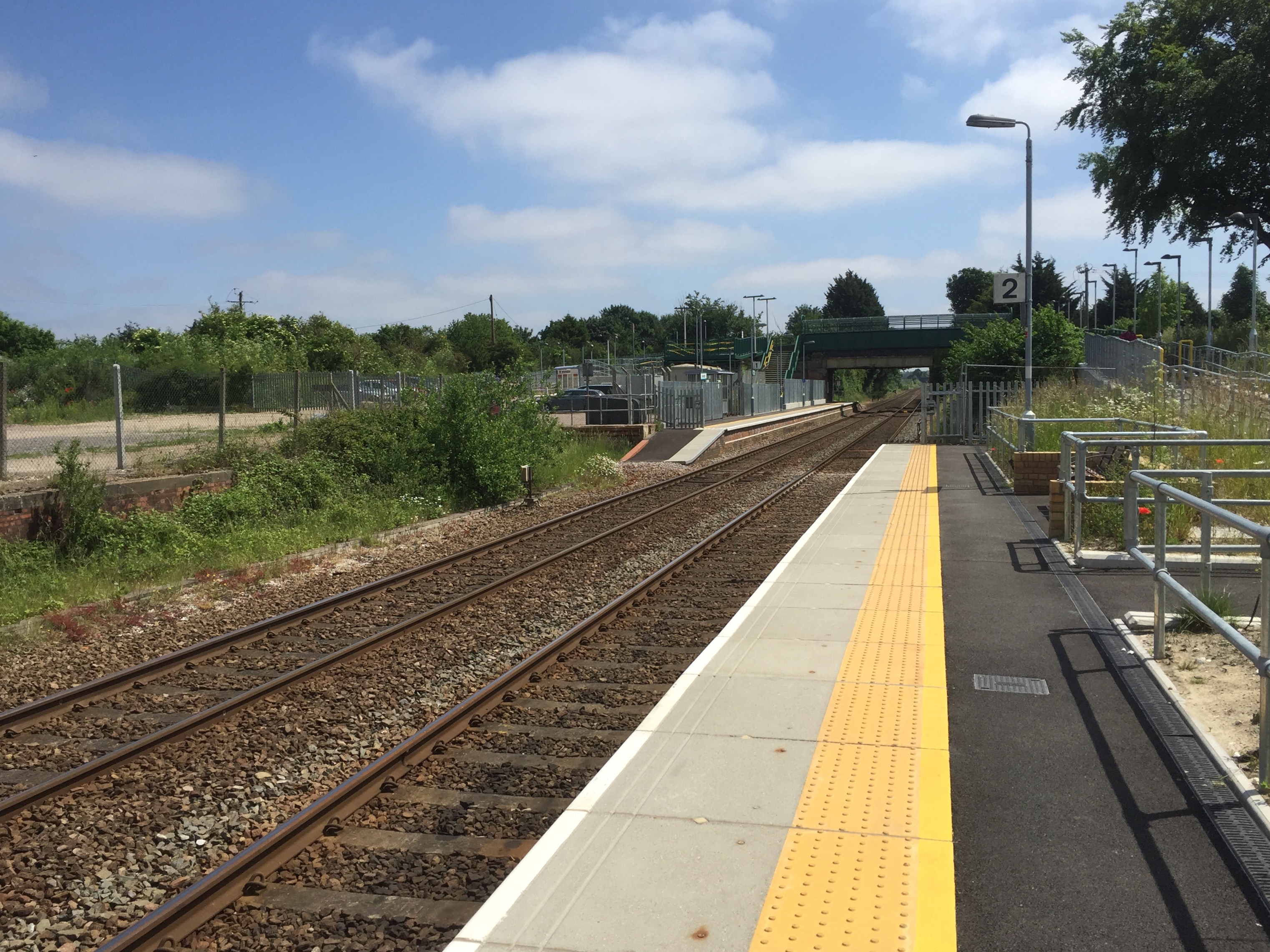
Kennett railway station

Kennett is a railway station serving the villages of Kennett in Cambridgeshire and Kentford in Suffolk, England. It opened in 1854 when the railway was...

Red Lodge Heath

Red Lodge Heath is a 20.8-hectare (51-acre) biological Site of Special Scientific Interest in Red Lodge in Suffolk.Habitats on this site are chalk grassland...

Lanwades Stud

Lanwades Stud is a Thoroughbred racehorse ownership and breeding operation in Newmarket, Suffolk, UK, which has bred and owned many notable horses....

Kentford

Kentford is a village and civil parish located in the West Suffolk district of Suffolk in eastern England. Situated on the banks of the River Kennet, the...

Red Lodge, Suffolk

Red Lodge is a village and civil parish situated in rural Suffolk, England, between Mildenhall and Newmarket, and very close to the A11 and A14 roads....
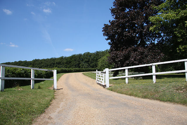
Chippenham Park

Chippenham Park is a country house in Chippenham, Cambridgeshire. == History == The Chippenham Park Estate was acquired by Thomas Revett, a London merchant...

Nearby Amenities

Located within 500m of 52.28357,0.47404447
The data included in this document is from www.openstreetmap.org. The data is made available under ODbL.

Have you been to Dane Hill?

Leave your review of Dane Hill below (or comments, questions and feedback).