Great Fox Hill
Hill, Mountain in Essex Basildon
England
Great Fox Hill

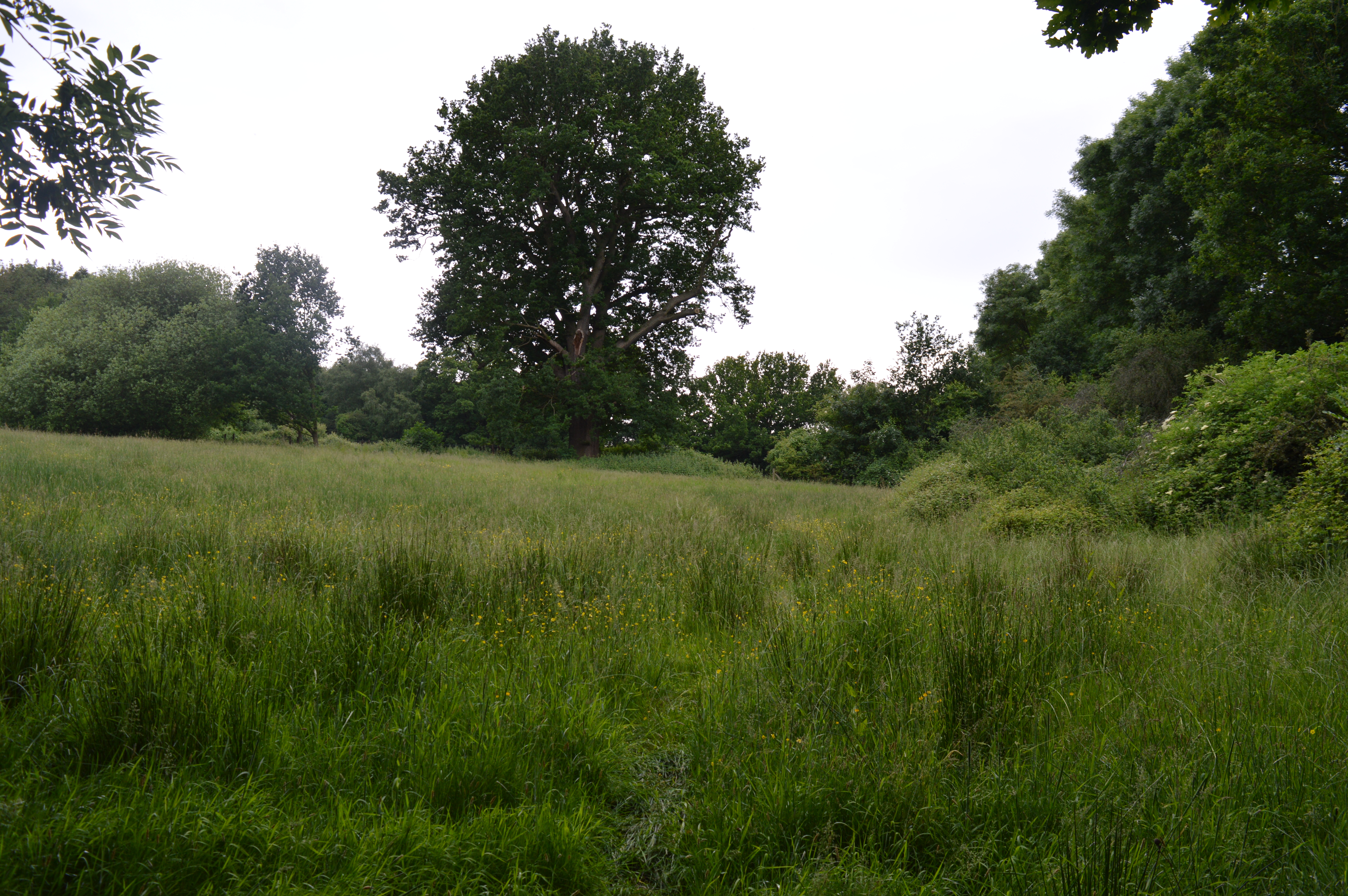
Great Fox Hill is a prominent geographical feature located in the county of Essex, England. As its name suggests, it is classified as a hill or mountain, although its elevation does not meet the traditional criteria for a mountain. Situated within the broader region of the Fox Hill Range, it offers picturesque views of the surrounding landscape.
The Great Fox Hill is located approximately 12 miles northeast of Chelmsford, the county town of Essex. It is part of a range of hills that extend across the area, including Little Fox Hill and other smaller peaks. The hill is predominantly composed of chalk and boasts an elevation of around 200 meters (656 feet). While not particularly high, its prominence within the local topography grants it a distinct appearance.
The hill is covered with lush vegetation, mainly consisting of grass, heather, and scattered trees. This, combined with its rolling slopes, adds to its aesthetic appeal. Great Fox Hill is a popular destination for walkers, hikers, and nature enthusiasts, who can enjoy the natural beauty of the area and the panoramic views it offers.
The hill is also home to a variety of wildlife, including rabbits, foxes, and a diverse range of bird species. It serves as an important habitat for these animals and contributes to the ecological diversity of the region.
Overall, Great Fox Hill is a notable geographical feature of Essex, offering a unique blend of natural beauty, recreational opportunities, and ecological significance. Its accessibility and charm make it a popular destination for both locals and visitors alike.
If you have any feedback on the listing, please let us know in the comments section below.
Great Fox Hill Images
Images are sourced within 2km of 51.632116/0.43835382 or Grid Reference TQ6895. Thanks to Geograph Open Source API. All images are credited.


Great Fox Hill is located at Grid Ref: TQ6895 (Lat: 51.632116, Lng: 0.43835382)
Administrative County: Essex
District: Basildon
Police Authority: Essex
What 3 Words
///going.fires.unfair. Near Billericay, Essex
Nearby Locations
Related Wikis

Norsey Wood
Norsey Wood is a 67.2-hectare (166-acre) biological Site of Special Scientific Interest in Billericay, Essex. It is also a Local Nature Reserve and a Scheduled...

Mayflower High School
Mayflower High School, founded in 1965, and named after the Mayflower ship, is a coeducational, secondary school located in Billericay, Essex in the East...
St John's School, Billericay
St John's School is an independent school in Billericay, Essex for students aged 3–16. The school is split into Kindergarten, Junior and Senior School...
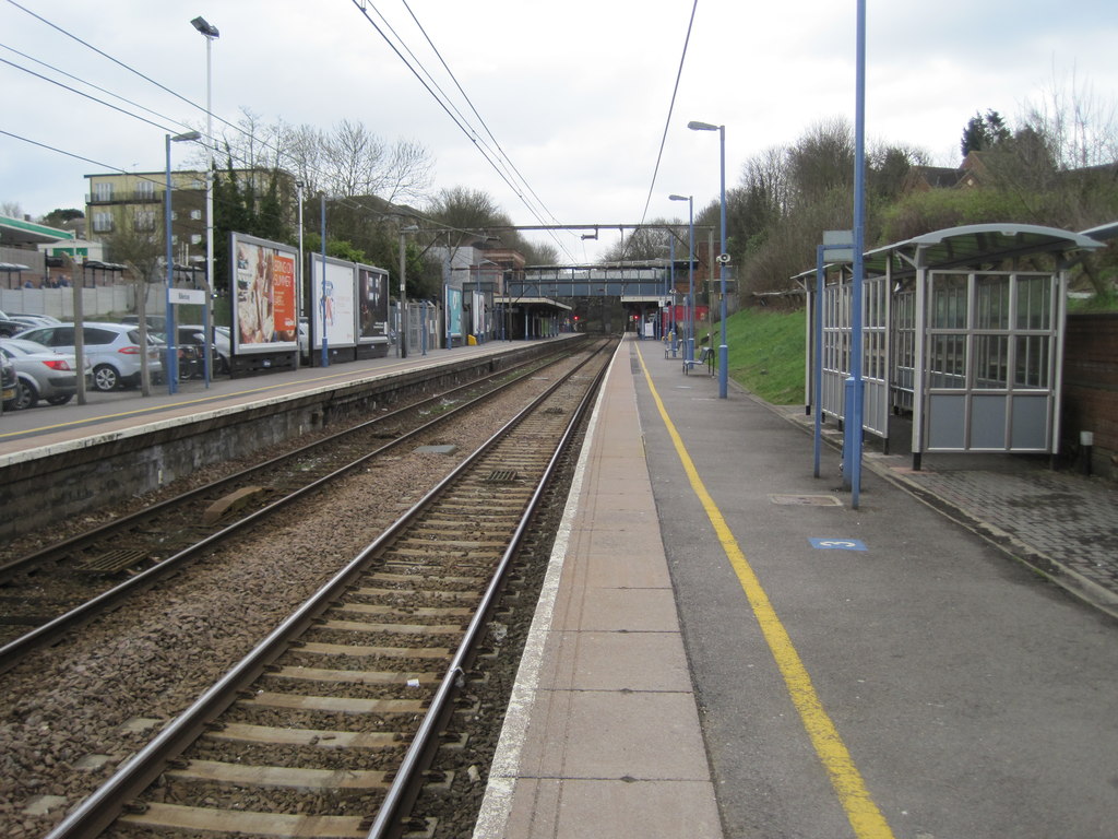
Billericay railway station
Billericay railway station is on the Shenfield to Southend Line in the east of England, serving the town of Billericay in the Basildon district of the...
Billericay
Billericay ( BIL-ə-RIK-ee) is a town and civil parish in the Borough of Basildon in Essex, England. It lies within the London Basin and is 25 miles (40...

Lake Meadows
Lake Meadows is a park in Billericay, Essex, England. It is the site of many local events, including Billericay Fireworks and small-scale concerts. The...
Mill Meadows, Billericay
Mill Meadows, Billericay is a 6.7-hectare (17-acre) biological Site of Special Scientific Interest (SSSI) in Billericay in Essex, England. It is part of...

Cater Museum
The Cater Museum is a small local museum in Billericay, Essex county, England. The museum was established by Alice May Cater, in honour of her late husband...
Nearby Amenities
Located within 500m of 51.632116,0.43835382Have you been to Great Fox Hill?
Leave your review of Great Fox Hill below (or comments, questions and feedback).