Folly Hill

Hill, Mountain in Suffolk West Suffolk

England

Folly Hill

Stile and footpath to Gazeley The footpath from Moulton leads diagonally across an arable field to join Moulton Road.
Stile and footpath to Gazeley Credit: Rob Noble

Folly Hill is a prominent landmark located in Suffolk, England. Situated in the county of Suffolk, it is part of the larger Dedham Vale Area of Outstanding Natural Beauty. Folly Hill is classified as a hill rather than a mountain, as it stands at an elevation of approximately 85 meters (279 feet) above sea level. Despite not being particularly tall, it offers stunning panoramic views of the surrounding countryside.

The hill is named after the nearby village of Folly Green, which is situated at its foothills. Folly Hill is characterized by its gentle slopes, covered in lush greenery, which provides a picturesque backdrop for visitors. The area is known for its diverse wildlife, including various species of birds, butterflies, and small mammals.

Folly Hill is a popular destination for hikers and nature enthusiasts due to its tranquil and scenic surroundings. A network of well-maintained footpaths and trails leads visitors through the hill, offering opportunities for leisurely walks or more challenging hikes. Along the way, one can enjoy the beauty of the countryside, with rolling fields, ancient woodlands, and charming villages dotting the landscape.

While Folly Hill itself does not have any man-made structures or amenities, there are nearby facilities, including parking areas and picnic spots. The hill's accessibility and proximity to other attractions in Suffolk make it a favored spot for both locals and tourists alike, seeking a peaceful escape and a chance to connect with nature.

If you have any feedback on the listing, please let us know in the comments section below.
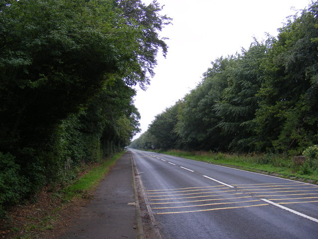
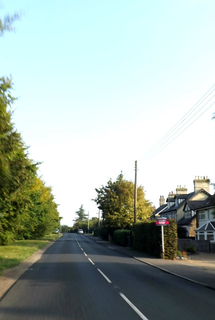
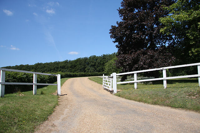
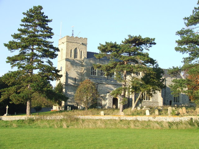
Folly Hill Images

Images are sourced within 2km of 52.26001/0.47318682 or Grid Reference TL6865. Thanks to Geograph Open Source API. All images are credited.

Stile and footpath to Gazeley The footpath from Moulton leads diagonally across an arable field to join Moulton Road.
Stile and footpath to Gazeley
The footpath from Moulton leads diagonally across an arable field to join Moulton Road.
B1506 Bury Road Looking towards Lanwades Hall near Ash Tree Veterinary Centre at Kennett Park
B1506 Bury Road
Looking towards Lanwades Hall near Ash Tree Veterinary Centre at Kennett Park
B1506 Bury Road Looking towards Kennett End near Ash Tree Veterinary Centre at Kennett Park
B1506 Bury Road
Looking towards Kennett End near Ash Tree Veterinary Centre at Kennett Park
Kentford Park Off the B1506 Bury Road
Kentford Park
Off the B1506 Bury Road
Ash Tree Veterinary Centre 6 Pilgrim Court, Kennett
Off the B1506 Bury Road
<span class="nowrap"><a title="http://www.ashtreevets.com/" rel="nofollow ugc noopener" href="http://www.ashtreevets.com/">Link</a><img style="margin-left:2px;" alt="External link" title="External link - shift click to open in new window" src="https://s1.geograph.org.uk/img/external.png" width="10" height="10"/></span>
Ash Tree Veterinary Centre
6 Pilgrim Court, Kennett Off the B1506 Bury Road LinkExternal link
Ash Tree Veterinary Centre sign 6 Pilgrim Court, Kennett,
<span class="nowrap"><a title="http://www.ashtreevets.com/" rel="nofollow ugc noopener" href="http://www.ashtreevets.com/">Link</a><img style="margin-left:2px;" alt="External link" title="External link - shift click to open in new window" src="https://s1.geograph.org.uk/img/external.png" width="10" height="10"/></span>
Ash Tree Veterinary Centre sign
6 Pilgrim Court, Kennett, LinkExternal link
New Housing Development at Kentford Manor sign Off the B1506 Bury Road
New Housing Development at Kentford Manor sign
Off the B1506 Bury Road
Kentford Manor Development Road Off the B1506 Bury Road
Kentford Manor Development Road
Off the B1506 Bury Road
Kentford Manor Development sign Off the B1506 Bury Road
Kentford Manor Development sign
Off the B1506 Bury Road
Kennett Park Development signs Off the B1506 Bury Road
Kennett Park Development signs
Off the B1506 Bury Road
Pilgrim Court, Kennett <span class="nowrap"><a title="https://en.wikipedia.org/wiki/Kennett,_Cambridgeshire" rel="nofollow ugc noopener" href="https://en.wikipedia.org/wiki/Kennett,_Cambridgeshire">Link</a><img style="margin-left:2px;" alt="External link" title="External link - shift click to open in new window" src="https://s1.geograph.org.uk/img/external.png" width="10" height="10"/></span>
Pilgrim Court, Kennett
The Bell Inn, Kentford
The Bell Inn, Kentford Early C16. See <span class="nowrap"><a title="http://www.britishlistedbuildings.co.uk/en-49051-the-bell-kennett-cambridgeshire" rel="nofollow ugc noopener" href="http://www.britishlistedbuildings.co.uk/en-49051-the-bell-kennett-cambridgeshire">Link</a><img style="margin-left:2px;" alt="External link" title="External link - shift click to open in new window" src="https://s1.geograph.org.uk/img/external.png" width="10" height="10"/></span>. Probably a coaching inn . This road was the A45 (now A14) until it was by-passed in 1975.
The Bell Inn, Kentford
Early C16. See LinkExternal link. Probably a coaching inn . This road was the A45 (now A14) until it was by-passed in 1975.
B1506 Bury Road, Kentford Approaching the junction with the B1085 Station & Moulton Roads near the Bell Inn Public House
B1506 Bury Road, Kentford
Approaching the junction with the B1085 Station & Moulton Roads near the Bell Inn Public House
Entering Kentford on the B1506 Bury Road At the junction with the B1085 Station & Moulton Roads near the Bell Inn Public House
Entering Kentford on the B1506 Bury Road
At the junction with the B1085 Station & Moulton Roads near the Bell Inn Public House
B1085 Station Road, Kentford <span class="nowrap"><a title="https://en.wikipedia.org/wiki/Kentford" rel="nofollow ugc noopener" href="https://en.wikipedia.org/wiki/Kentford">Link</a><img style="margin-left:2px;" alt="External link" title="External link - shift click to open in new window" src="https://s1.geograph.org.uk/img/external.png" width="10" height="10"/></span>
B1085 Station Road, Kentford
B1085 Station Road, Kennett End <span class="nowrap"><a title="https://en.wikipedia.org/wiki/Kennett,_Cambridgeshire" rel="nofollow ugc noopener" href="https://en.wikipedia.org/wiki/Kennett,_Cambridgeshire">Link</a><img style="margin-left:2px;" alt="External link" title="External link - shift click to open in new window" src="https://s1.geograph.org.uk/img/external.png" width="10" height="10"/></span>
B1085 Station Road, Kennett End
Kentford Post Office The Post Office doubles up as a village store.
Kentford Post Office
The Post Office doubles up as a village store.
Show me another place!

Folly Hill is located at Grid Ref: TL6865 (Lat: 52.26001, Lng: 0.47318682)

Administrative County: Suffolk

District: West Suffolk

Police Authority: Suffolk

What 3 Words

///planet.gong.every. Near Newmarket, Suffolk

Nearby Locations

Folly Hill

Related Wikis

Lanwades Stud

Lanwades Stud is a Thoroughbred racehorse ownership and breeding operation in Newmarket, Suffolk, UK, which has bred and owned many notable horses....

Moulton, Suffolk

Moulton is a village and civil parish in the West Suffolk district of Suffolk in eastern England, located close to the town of Newmarket. It pre-dates...

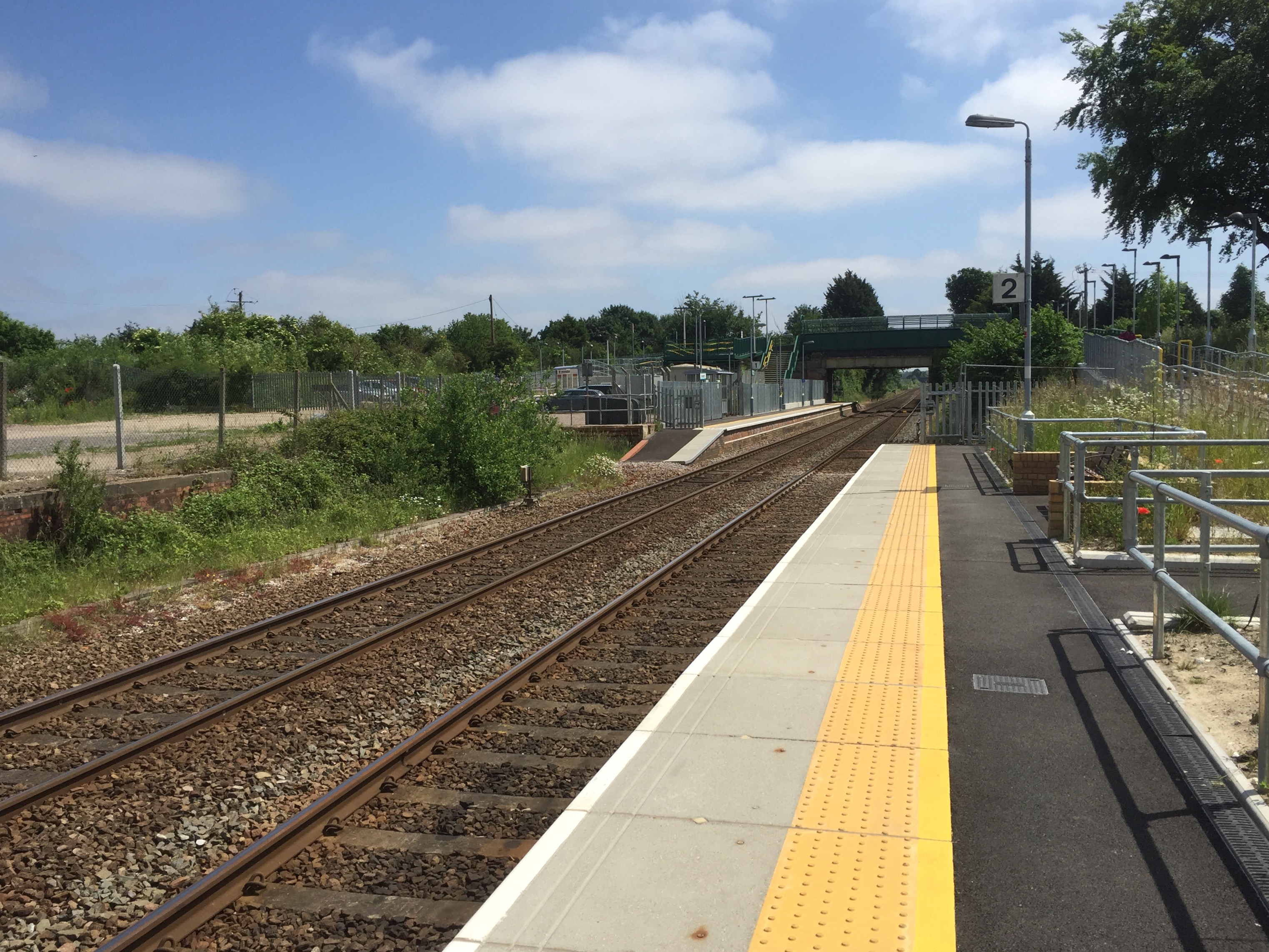
Kennett railway station

Kennett is a railway station serving the villages of Kennett in Cambridgeshire and Kentford in Suffolk, England. It opened in 1854 when the railway was...

Kentford

Kentford is a village and civil parish located in the West Suffolk district of Suffolk in eastern England. Situated on the banks of the River Kennet, the...

Moulton Rural District

Moulton was a rural district in Suffolk, England from 1894 to 1935. It covered the area to the east of the town of Newmarket. The district was created...

Gazeley Windmill

Gazeley Mill is a tower mill at Gazeley, Suffolk, England which has been converted to residential accommodation. == History == Gazeley Mill was built in...

Kennett, Cambridgeshire

Kennett is a small village and civil parish at the very eastern tip of Cambridgeshire, England. Situated around 2.5 miles (4.0 km) north-east of Newmarket...

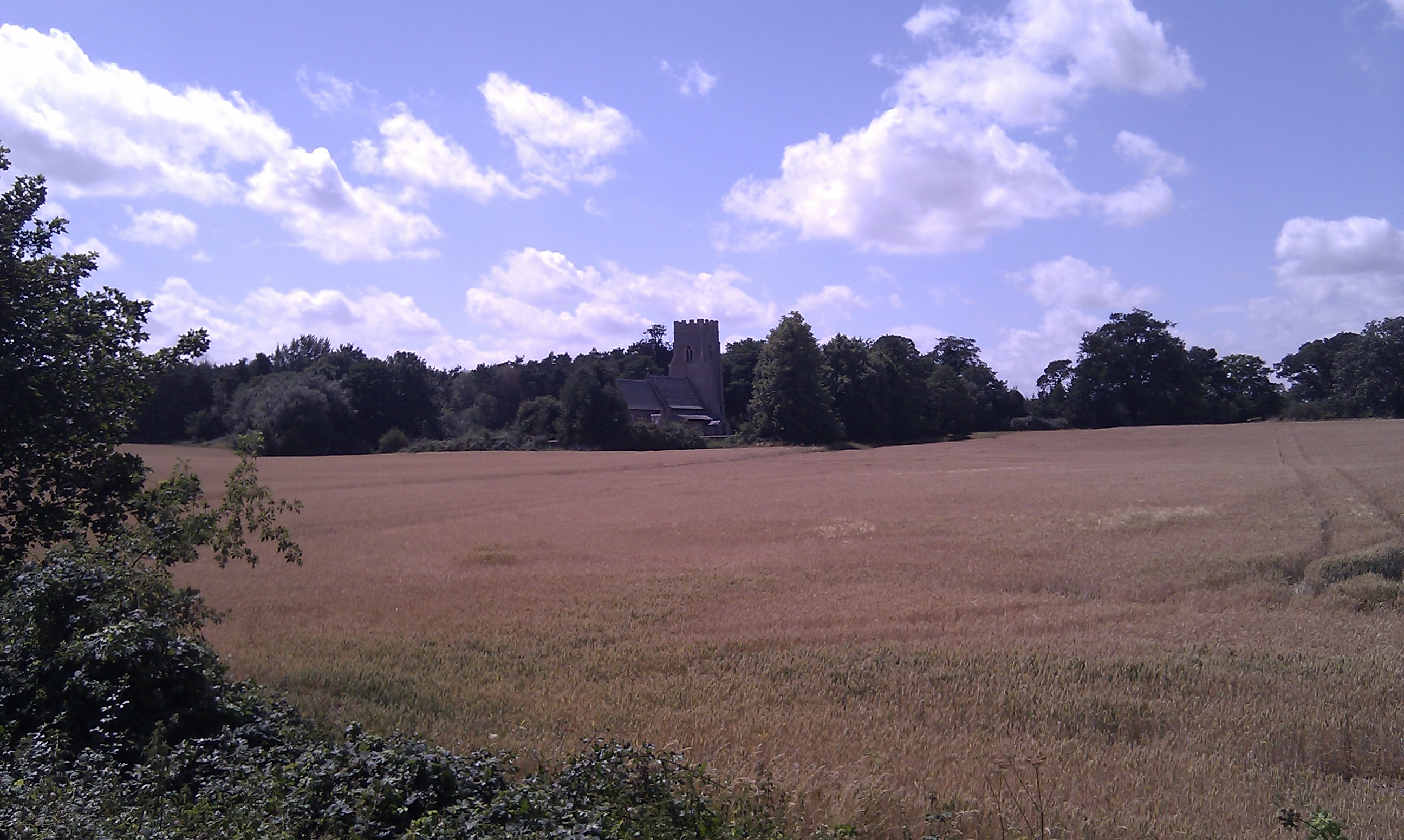
St Nicholas Church, Kennett

St Nicholas Church is the parish church of the village of Kennett in east Cambridgeshire. It has been dedicated to St Nicholas since the 13th century....

Have you been to Folly Hill?

Leave your review of Folly Hill below (or comments, questions and feedback).