Galley Hill

Hill, Mountain in Norfolk King's Lynn and West Norfolk

England

Galley Hill

Cropmarks on field east of King's Lynn: aerial 2022 (1)
Cropmarks on field east of King's Lynn: aerial 2022 (1) Credit: Simon Tomson

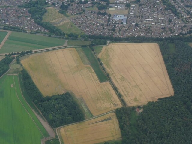
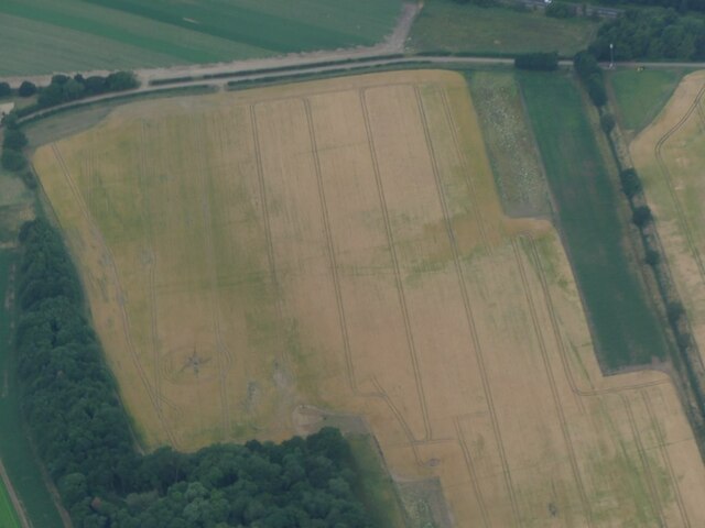
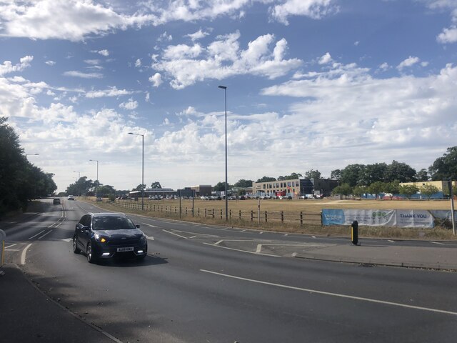
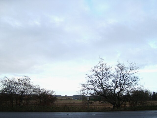
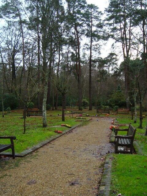
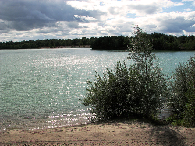
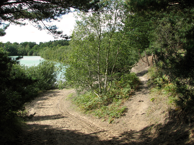
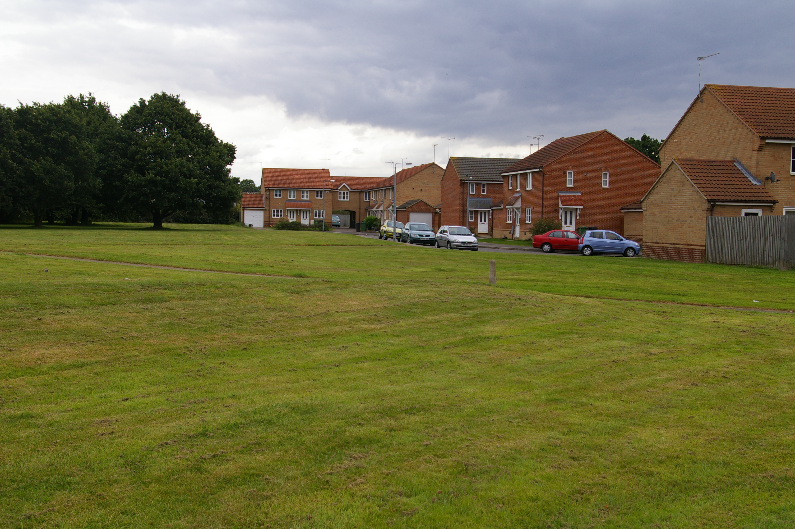
Galley Hill is located in Norfolk, England, and is renowned for being the highest point in the county. Standing at an elevation of 103 meters (338 feet) above sea level, this hill is classified as a Marilyn, which means it is a hill with a prominence of at least 150 meters (492 feet). It is situated in the Norfolk Coast Area of Outstanding Natural Beauty, offering breathtaking panoramic views of the surrounding countryside and coast.

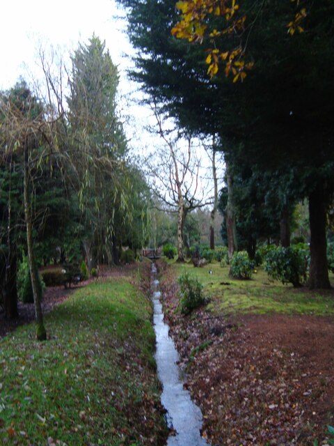
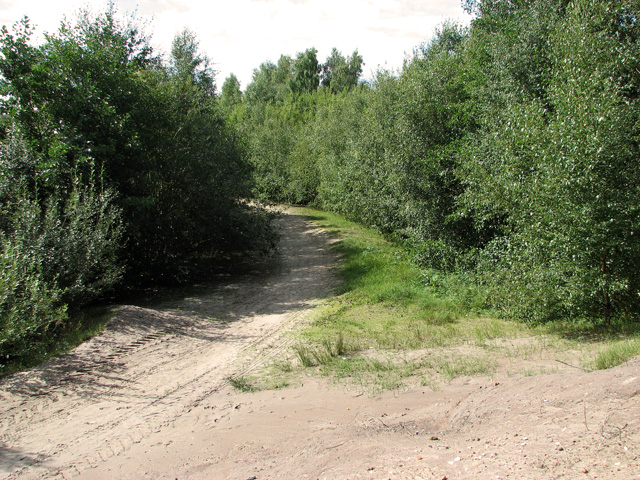
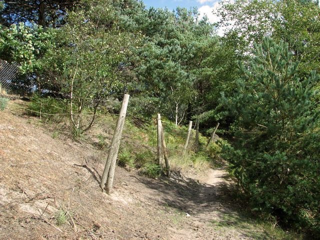
The hill is covered in lush green grass, making it a perfect spot for picnics and leisurely walks. It is accessible through a well-maintained footpath, which makes it popular with hikers and nature enthusiasts. The summit provides an ideal vantage point to observe the diverse flora and fauna of the area, including various species of birds and wildlife.

Galley Hill is steeped in history, with evidence of Iron Age and Roman settlements in the vicinity. The area has also been the site of archaeological excavations, unearthing artifacts and remains that provide insights into the region's past.

Due to its elevated position, the hill is often subject to strong winds, and it is advisable to take appropriate precautions while visiting. Nevertheless, this natural landmark offers visitors a unique experience and a chance to appreciate the beauty and tranquility of the Norfolk countryside. Whether it's for a peaceful stroll, a family outing, or simply to admire the stunning views, Galley Hill is a destination that promises a memorable and enriching experience.

If you have any feedback on the listing, please let us know in the comments section below.
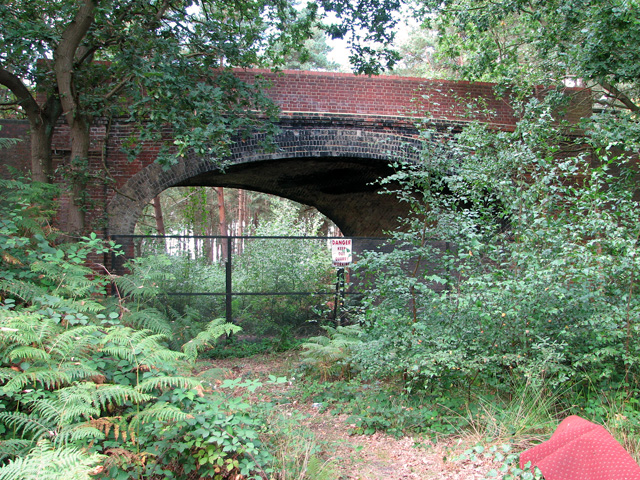
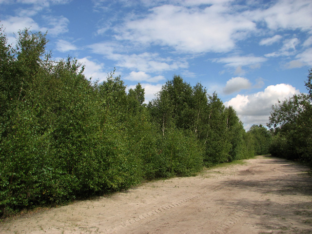
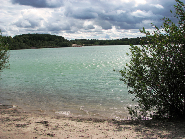
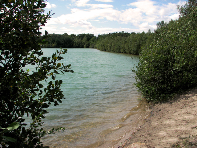
Galley Hill Images

Images are sourced within 2km of 52.752866/0.44894345 or Grid Reference TF6520. Thanks to Geograph Open Source API. All images are credited.

Cropmarks on field east of King's Lynn: aerial 2022 (1)
Cropmarks on field east of King's Lynn: aerial 2022 (2)
The A149 King's Lynn to Cromer road Passing by the Queen Elizabeth Hospital
The A149 King's Lynn to Cromer road
Passing by the Queen Elizabeth Hospital
View towards Church Farm From the entrance to Mintlyn Crematorium
View towards Church Farm
From the entrance to Mintlyn Crematorium
Gardens of Remembrance at Mintlyn Crematorium Part of the extensive gardens and woodlands around the crematorium
Gardens of Remembrance at Mintlyn Crematorium
Part of the extensive gardens and woodlands around the crematorium
Overflow car park at Mintlyn Crematorium
Drain in Hammonds Covert Mintlyn Wood
Drain in Hammonds Covert
Mintlyn Wood
Access route into Bawsey Country Park The country park has been created in an area of disused sand pits and gravel quarries, now open to the public.
Access route into Bawsey Country Park
The country park has been created in an area of disused sand pits and gravel quarries, now open to the public.
Bridge over disused railway line, Mintlyn
Bridge over disused railway line, Mintlyn Access through the bridge is blocked because there is a working quarry in the woodland on the other side.
Bridge over disused railway line, Mintlyn
Access through the bridge is blocked because there is a working quarry in the woodland on the other side.
Sandy path in Bawsey Country Park The country park has been created in an area of disused sand pits and gravel quarries, now open to the public.
Sandy path in Bawsey Country Park
The country park has been created in an area of disused sand pits and gravel quarries, now open to the public.
Lake in Bawsey Country Park The country park has been created in an area of disused sand pits and gravel quarries, now open to the public.
Lake in Bawsey Country Park
The country park has been created in an area of disused sand pits and gravel quarries, now open to the public.
View along the edge of the lake, Bawsey Country Park The country park has been created in an area of disused sand pits and gravel quarries, now open to the public.
View along the edge of the lake, Bawsey Country Park
The country park has been created in an area of disused sand pits and gravel quarries, now open to the public.
Path around the lake, Bawsey Country Park The country park has been created in an area of disused sand pits and gravel quarries, now open to the public.
Path around the lake, Bawsey Country Park
The country park has been created in an area of disused sand pits and gravel quarries, now open to the public.
Blustery day in Bawsey Country Park The country park has been created in an area of disused sand pits and gravel quarries, now open to the public.
Blustery day in Bawsey Country Park
The country park has been created in an area of disused sand pits and gravel quarries, now open to the public.
Path past the gravel works, Bawsey Country Park
Track along the lake in Bawsey Country Park The country park has been created in an area of disused sand pits and gravel quarries, now open to the public.
Track along the lake in Bawsey Country Park
The country park has been created in an area of disused sand pits and gravel quarries, now open to the public.
Paths along the lake in Bawsey Country Park The country park has been created in an area of disused sand pits and gravel quarries, now open to the public.
Paths along the lake in Bawsey Country Park
The country park has been created in an area of disused sand pits and gravel quarries, now open to the public.
Show me another place!

Galley Hill is located at Grid Ref: TF6520 (Lat: 52.752866, Lng: 0.44894345)

Administrative County: Norfolk

District: King's Lynn and West Norfolk

Police Authority: Norfolk

What 3 Words

///leathers.succeed.backtrack. Near King's Lynn, Norfolk

Related Wikis

Queen Elizabeth Hospital, King's Lynn

Queen Elizabeth Hospital in King's Lynn, Norfolk, England. It is located on the outskirts of King's Lynn, to the eastern edge of the town. The catchment...

Fairstead, Norfolk

The Fairstead Estate is a suburb of King's Lynn, Norfolk, England. The population of Fairstead ward of King's Lynn and West Norfolk Borough at the 2011...

Springwood High School, King's Lynn

Springwood High School is a secondary school with academy status in the town of King's Lynn in Norfolk, England. It was formed by the merger of several...

Gayton Road railway station

Gayton Road railway station was a station in Norfolk, located close to King's Lynn on the Midland and Great Northern Joint Railway. == History == The station...

Nearby Amenities

Located within 500m of 52.752866,0.44894345
Mini Roundabout
Direction: clockwise
Lat/Long: 52.7547979/0.444729
Traffic Calming: hump
Lat/Long: 52.7520559/0.4436722
Mini Roundabout
Direction: clockwise
Lat/Long: 52.7545622/0.44587
Mini Roundabout
Direction: clockwise
Lat/Long: 52.7530547/0.4449158
Turning Circle
Lat/Long: 52.7518895/0.4447159
Turning Circle
Lat/Long: 52.7534346/0.4448056
Crossing
Crossing Island: yes
Lat/Long: 52.754667/0.4452149
Post Box
Post Box Mounting: brick_pillar
Post Box Type: wall
Ref: PE30 26
Royal Cypher: GR
Royal Cypher Wikidata: Q33102273
Lat/Long: 52.7536816/0.445588
Bus Stop
Crematorium
Naptan AtcoCode: 2900B144
Naptan Bearing: E
Naptan CommonName: Crematorium
Naptan Indicator: opp
Naptan Landmark: Mintlyn Crematorium
Naptan Locality: Bawsey
Naptan NaptanCode: nfoadtap
Naptan Street: B1145
Naptan Verified: yes
Source: naptan_import
Lat/Long: 52.7530537/0.4561539
Bus Stop
Queen Elizabeth Hospital, adj
Bus: yes
Naptan AtcoCode: 2900K13120
Naptan Bearing: W
Naptan CommonName: Queen Elizabeth Hospital
Naptan Indicator: adj
Naptan Locality: King's Lynn
Naptan NaptanCode: nfodamaj
Naptan Street: Car Park
Naptan Verified: no
Public Transport: platform
Source: naptan_import
Lat/Long: 52.7554462/0.4462393
Shaw Road, adj
Naptan AtcoCode: 2900K13124
Naptan Bearing: SW
Naptan BusStopType: CUS
Naptan CommonName: Shaw Road
Naptan Indicator: adj
Naptan Locality: Fairstead
Naptan NaptanCode: nfodamaw
Naptan Street: Winston Churchill Drive
Naptan Verified: no
Source: naptan_import
Lat/Long: 52.753632/0.4455751
Bus Stop
Churchill Road, adj
Bus: yes
Naptan AtcoCode: 2900K13127
Naptan Bearing: SE
Naptan CommonName: Churchill Road
Naptan Indicator: adj
Naptan Landmark: Churchill Road
Naptan Locality: Fairstead
Naptan NaptanCode: nfodamdj
Naptan PlusbusZoneRef: KLYNN
Naptan Street: William Booth Road
Naptan Verified: no
Public Transport: platform
Source: naptan_import
Lat/Long: 52.7533867/0.4443906
Bus Stop
Gayton Road, adj
Bus: yes
Naptan AtcoCode: 2900K1344
Naptan Bearing: NE
Naptan CommonName: Gayton Road
Naptan Indicator: adj
Naptan Locality: Fairstead
Naptan NaptanCode: nfodapgp
Naptan PlusbusZoneRef: KLYNN
Naptan Street: Winston Churchill Drive
Naptan Verified: no
Public Transport: platform
Source: naptan_import
Lat/Long: 52.7543388/0.4457481
Bus Stop
Elvington Road, opp
Bus: yes
Naptan AtcoCode: 2900K1348
Naptan Bearing: W
Naptan CommonName: Elvington Road
Naptan Indicator: opp
Naptan Locality: King's Lynn
Naptan NaptanCode: nfodapjd
Naptan PlusbusZoneRef: KLYNN
Naptan Street: Gayton Road
Naptan Verified: no
Public Transport: platform
Source: naptan_import
Lat/Long: 52.754933/0.4430988
Montgomery Road, adj
Naptan AtcoCode: 2900K1382
Naptan Bearing: SW
Naptan BusStopType: CUS
Naptan CommonName: Montgomery Road
Naptan Indicator: adj
Naptan Locality: Fairstead
Naptan NaptanCode: nfogpdga
Naptan Street: Winston Churchill Drive
Naptan Verified: no
Source: naptan_import
Lat/Long: 52.7509019/0.4423545
Traffic Calming: hump
Lat/Long: 52.7527587/0.444609
Traffic Calming: hump
Lat/Long: 52.7516314/0.4431338
Traffic Calming: cushion
Lat/Long: 52.7531816/0.4425157
Wingfield
Place: locality
Lat/Long: 52.7522585/0.4424689
Traffic Calming: cushion
Lat/Long: 52.7526552/0.4417739
Crossing
Crossing: uncontrolled
Crossing Ref: zebra
Lat/Long: 52.7566513/0.44817
Kirstead
Place: locality
Lat/Long: 52.7528419/0.4435195
Crossing
Crossing: unmarked
Crossing Markings: no
Lat/Long: 52.7511742/0.4423852
Traffic Calming: hump
Lat/Long: 52.75326/0.4444169
Barrier: lift_gate
Lat/Long: 52.7550976/0.4445876
Barrier: lift_gate
Lat/Long: 52.7551164/0.4446544
Colour: orange
Marker: post
Material: plastic
Utility: gas
Lat/Long: 52.7556595/0.449614
Crossing
Crossing: marked
Crossing Markings: yes
Crossing Ref: zebra
Lat/Long: 52.7560529/0.4474266
Entrance: main
Lat/Long: 52.7566365/0.4470516
Crossing
Crossing: marked
Crossing Markings: yes
Lat/Long: 52.755489/0.4461866
Crossing
Crossing: marked
Crossing Markings: yes
Lat/Long: 52.7560541/0.4471192
Colour: orange
Marker: post
Material: plastic
Utility: gas
Lat/Long: 52.7538358/0.4481569
Power: substation
Lat/Long: 52.7524033/0.4429206
Communication Mobile Phone: yes
Man Made: mast
Material: metal
Operator: O2-UK;Vodafone UK
Tower Construction: freestanding
Tower Type: communication
Lat/Long: 52.7491363/0.4448786
Communication Mobile Phone: yes
Layer: 1
Man Made: mast
Material: metal
Operator: Three UK;EE
Tower Construction: guyed_tube
Tower Type: communication
Lat/Long: 52.7565379/0.4450254
The data included in this document is from www.openstreetmap.org. The data is made available under ODbL.

Have you been to Galley Hill?

Leave your review of Galley Hill below (or comments, questions and feedback).