Botney Hill
Hill, Mountain in Essex Basildon
England
Botney Hill
Botney Hill is a prominent hill located in the county of Essex, England. Situated near the village of Saffron Walden, it is known for its picturesque landscapes and stunning views of the surrounding countryside. With an elevation of approximately 147 meters (482 feet), it is often referred to as a hill rather than a mountain due to its relatively modest height.
Botney Hill is part of the wider Essex uplands and is composed mainly of chalk and clay, contributing to its distinctive appearance. The hill is characterized by its gentle slopes and rolling terrain, making it a popular destination for hikers, walkers, and nature enthusiasts.
The area surrounding Botney Hill is rich in biodiversity, with a variety of flora and fauna inhabiting the region. The hill itself is covered in grasslands, interspersed with patches of woodland and hedgerows, providing a habitat for numerous species of plants and animals.
At the summit of Botney Hill, visitors can enjoy panoramic views of the Essex countryside, including the picturesque villages of Saffron Walden and Audley End. On clear days, it is even possible to see the distant silhouette of the London skyline.
The hill is easily accessible, with footpaths and trails leading up to the summit from nearby villages and towns. It offers visitors a chance to escape the hustle and bustle of urban life, providing a peaceful and tranquil setting to enjoy the natural beauty of this corner of Essex.
If you have any feedback on the listing, please let us know in the comments section below.
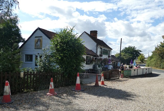
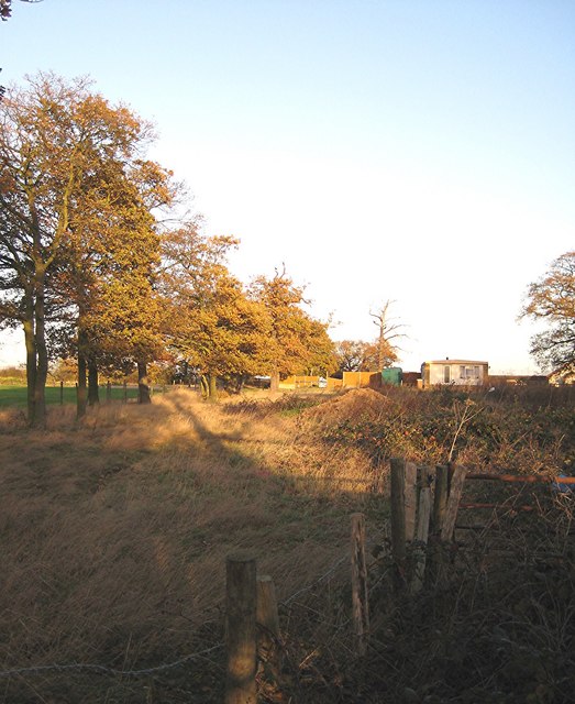
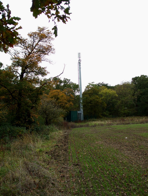
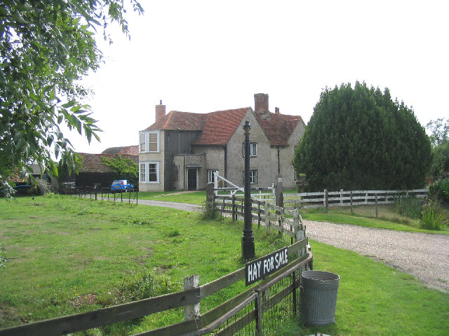
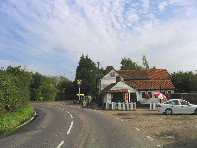
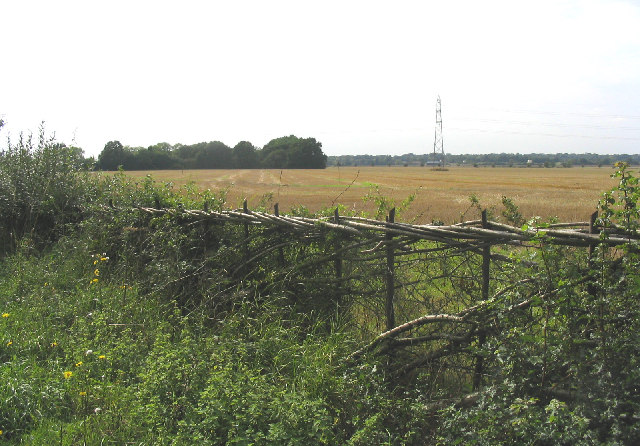
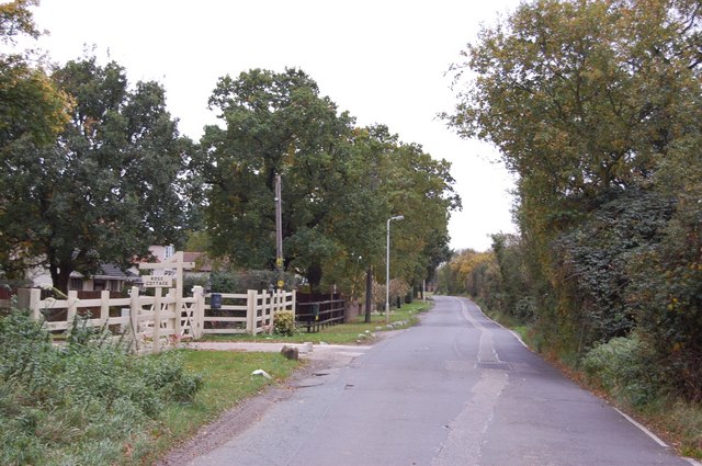
Botney Hill Images
Images are sourced within 2km of 51.599745/0.38389631 or Grid Reference TQ6591. Thanks to Geograph Open Source API. All images are credited.


Botney Hill is located at Grid Ref: TQ6591 (Lat: 51.599745, Lng: 0.38389631)
Administrative County: Essex
District: Basildon
Police Authority: Essex
What 3 Words
///tins.stir.level. Near Ingrave, Essex
Nearby Locations
Related Wikis

Billericay Rural District
Billericay Rural District was a local government district in Essex, England from 1894 to 1934. It consisted of the following parishes: Basildon Brentwood...
Dunton Wayletts
Dunton Wayletts or Dunton is hamlet and former civil parish in the Borough of Basildon in Essex, England. It lies on the western outskirts of the borough...

Dunton Technical Centre
The Dunton Campus (informally Ford Dunton or Dunton) is a major automotive research and development facility located in Dunton Wayletts, Laindon, Essex...
Herongate and Ingrave
Herongate and Ingrave is a civil parish in the Brentwood borough in Essex, England. The parish includes the villages of Ingrave and Herongate. The parish...

Herongate
Herongate is a village in south Essex, England. The village is situated on the A128 road between Brentwood and West Horndon. The population of the village...

Ingrave
Ingrave is a village and former civil parish, now in the parish of Herongate and Ingrave, in the Brentwood district in Essex, England. It is situated on...

All Saints Church, East Horndon
All Saints' Church is a redundant Anglican church in the village of East Horndon, Essex, England. It is recorded in the National Heritage List for England...
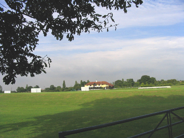
Toby Howe Cricket Ground
Toby Howe Cricket Ground is a cricket ground in Billericay, Essex. The first recorded match on the ground was in 1999, when Billericay Cricket Club played...
Nearby Amenities
Located within 500m of 51.599745,0.38389631Have you been to Botney Hill?
Leave your review of Botney Hill below (or comments, questions and feedback).