Cox Hill
Hill, Mountain in Essex Uttlesford
England
Cox Hill
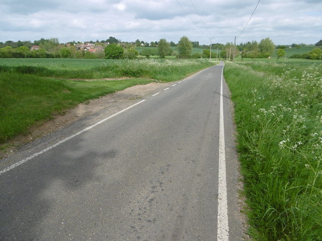
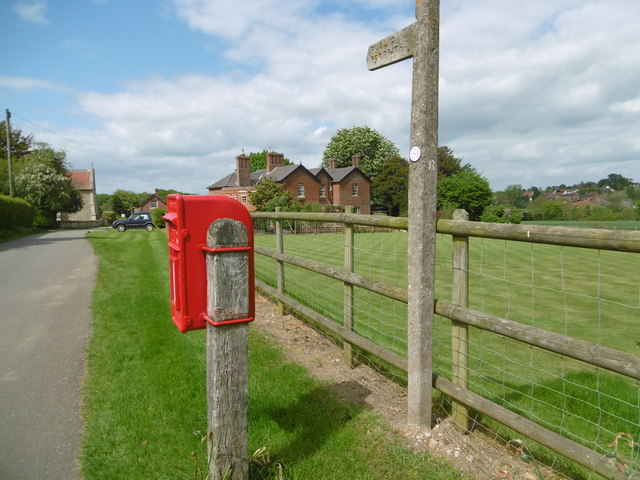
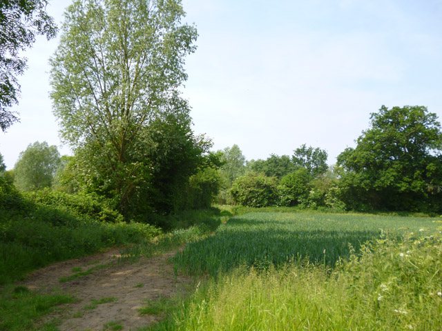
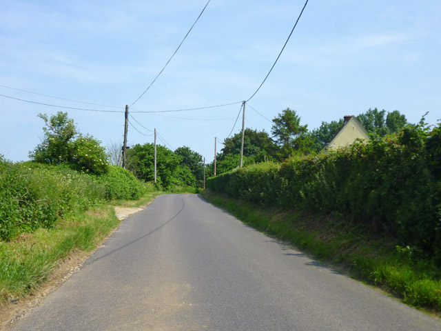
Cox Hill, located in Essex, England, is a prominent hill that stands at an elevation of approximately 98 meters (321 feet) above sea level. Situated near the village of Great Bardfield, this hill is part of the wider landscape of the county's undulating terrain. Cox Hill is positioned within the rural countryside, offering picturesque views of the surrounding farmland and rolling hills.
Covered with lush grasses and scattered trees, Cox Hill is a popular destination for locals and visitors alike. Its relatively gentle slope makes it accessible for hikers and nature enthusiasts who often explore the area to admire the scenic beauty and enjoy outdoor activities. The hill serves as a natural playground for walking, picnicking, and birdwatching.
At the top of Cox Hill, one can relish breathtaking panoramic vistas that stretch across the Essex countryside. On a clear day, it is possible to see the distant towns and villages that dot the landscape. This viewpoint makes Cox Hill an ideal spot for photographers and artists seeking inspiration from the serene surroundings.
Cox Hill, like many other hills in Essex, holds historical significance. These hills were formed during the last ice age and have witnessed the passage of time and the evolution of the region's landscape. Cox Hill stands as a testament to the area's geological history and continues to be a cherished natural landmark for both locals and visitors.
If you have any feedback on the listing, please let us know in the comments section below.
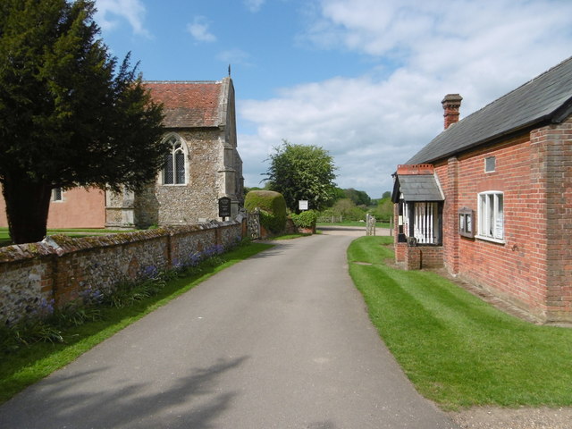
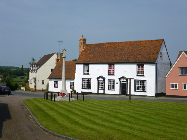
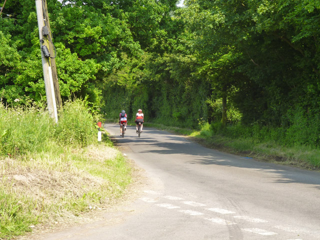
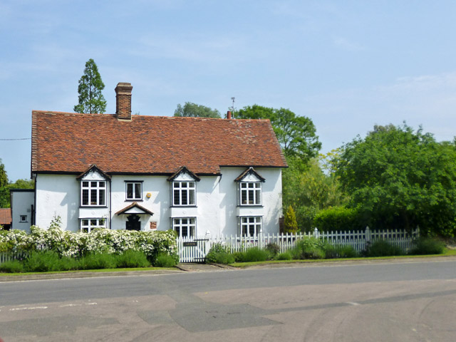
Cox Hill Images
Images are sourced within 2km of 51.900373/0.32385652 or Grid Reference TL5924. Thanks to Geograph Open Source API. All images are credited.


Cox Hill is located at Grid Ref: TL5924 (Lat: 51.900373, Lng: 0.32385652)
Administrative County: Essex
District: Uttlesford
Police Authority: Essex
What 3 Words
///goodbye.setting.polishing. Near Great Dunmow, Essex
Nearby Locations
Related Wikis
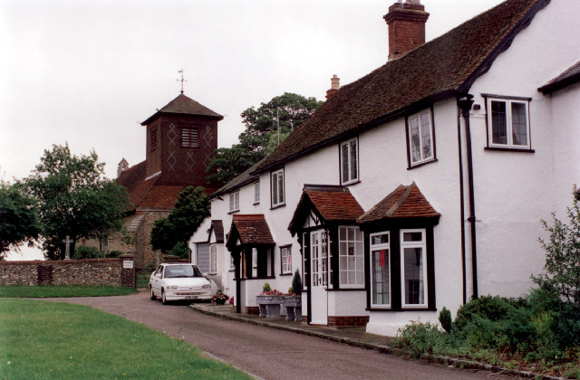
Great Easton, Essex
Great Easton is a village and civil parish in the Uttlesford district in Essex, England.Great Easton village is about 2 miles (3.2 km) north of Great Dunmow...
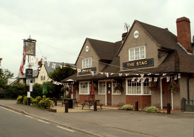
Little Easton
Little Easton is a village and civil parish in Essex, England. The village is situated approximately 7 miles (11 km) east from the town of Bishop's Stortford...

Easton Lodge
Easton Lodge was a Victorian Gothic style stately home in Little Easton and north-west of Great Dunmow, Essex, England. Once famous for its weekend society...

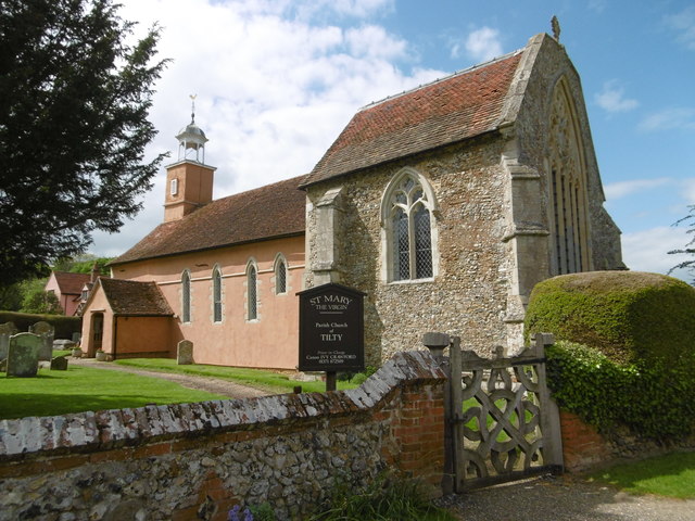
Tilty
Tilty or Tylsey is a village and a civil parish in the Uttlesford district, in the county of Essex, England. In 2001 the population of the civil parish...

Tilty Abbey
Tilty Abbey was a Cistercian abbey in Tilty, Essex, England. It was dissolved 3 March 1536. The chapel, with a nave built circa 1220, became a parish church...
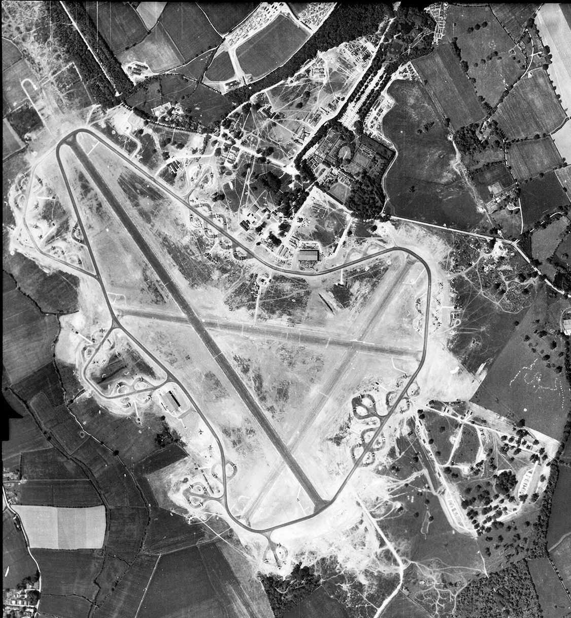
RAF Great Dunmow
Royal Air Force Great Dunmow or more simply RAF Great Dunmow is a former Royal Air Force station in the parish of Little Easton, Essex, England. The airfield...

Helena Romanes School
Helena Romanes School (also known/abbreviated as HRS) is a coeducational all-through school and sixth form. It is situated in Great Dunmow in the English...

Broxted
Broxted is a village and civil parish in the Uttlesford district, in the county of Essex, England. It is situated 11 km (6.8 mi) north-east from Bishop...
Nearby Amenities
Located within 500m of 51.900373,0.32385652Have you been to Cox Hill?
Leave your review of Cox Hill below (or comments, questions and feedback).