Broxted Common Wood

Wood, Forest in Essex Uttlesford

England

Broxted Common Wood

Formerly The Bell, Great Easton Now a house, it is a grade II listed building from about 1500.
Formerly The Bell, Great Easton Credit: Robin Webster

Broxted Common Wood is a picturesque woodland located in Essex, England. Covering an area of approximately 20 hectares, it is a popular destination for nature enthusiasts and outdoor enthusiasts alike. The wood is part of a larger area known as Broxted Common, which includes heathland and grassland habitats.

The wood is primarily composed of native broadleaf trees such as oak, ash, and birch, which create a dense canopy that provides shade and shelter to a variety of wildlife. The forest floor is covered in a rich carpet of bluebells and other wildflowers during the spring, creating a stunning display of colors.

The wood is home to a diverse range of flora and fauna. Birdwatchers can spot a variety of species, including woodpeckers, nuthatches, and tawny owls. Mammals such as foxes, badgers, and squirrels can also be found in the area. Additionally, various species of insects and butterflies inhabit the wood, adding to its ecological richness.

Broxted Common Wood offers several walking trails that allow visitors to explore the woodland at their own pace. These well-maintained paths wind through the trees, offering glimpses of wildlife and providing a peaceful and tranquil environment for visitors to enjoy.

The wood is managed by a local conservation organization, which ensures the preservation of its natural beauty and biodiversity. Educational programs and guided walks are also organized to raise awareness about the importance of woodland conservation and the unique ecosystem of Broxted Common Wood.

Overall, Broxted Common Wood is a haven for nature lovers, offering a serene escape from the hustle and bustle of everyday life.

If you have any feedback on the listing, please let us know in the comments section below.

Broxted Common Wood Images

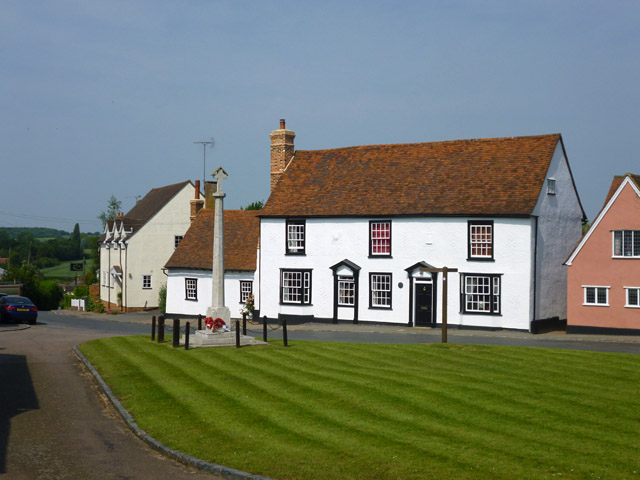
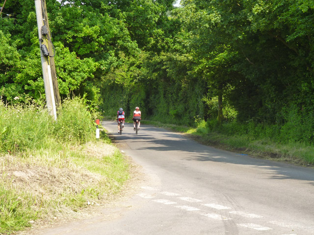
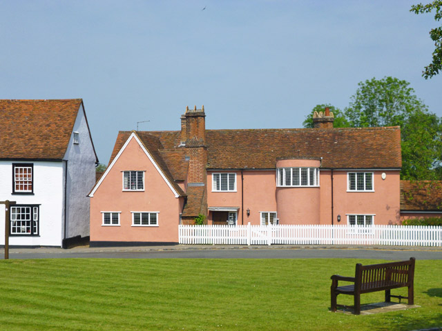
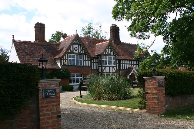
Images are sourced within 2km of 51.896647/0.31446323 or Grid Reference TL5924. Thanks to Geograph Open Source API. All images are credited.

Formerly The Bell, Great Easton Now a house, it is a grade II listed building from about 1500.
Formerly The Bell, Great Easton
Now a house, it is a grade II listed building from about 1500.
Cycling on Essex lanes On the route from Little Easton to Great Easton.
Cycling on Essex lanes
On the route from Little Easton to Great Easton.
Church Row, Little Easton Grade II listed former almshouses, built 1895. The date and a 'W' are placed centrally. The 'W' perhaps stands for Warwick, as apparently Frances, the Countess of Warwick, had them built.
Church Row, Little Easton
Grade II listed former almshouses, built 1895. The date and a 'W' are placed centrally. The 'W' perhaps stands for Warwick, as apparently Frances, the Countess of Warwick, had them built.
Quarry area on site of RAF Great Dunmow 'Quarry' was what the warning notice called it, but there is little sign here apart from the wide and shallow trench between earth banks. In the distance beyond the dead tree are more quarry-like features.
Quarry area on site of RAF Great Dunmow
'Quarry' was what the warning notice called it, but there is little sign here apart from the wide and shallow trench between earth banks. In the distance beyond the dead tree are more quarry-like features.
The Garth, Great Easton Surprising an early 20th century building, but still grade II listed. Now a house, formerly a convent.
The Garth, Great Easton
Surprising an early 20th century building, but still grade II listed. Now a house, formerly a convent.
The Crusaders Window at Little Easton During World War II the American 386th Bomb Group, known as The Crusaders, "mounted up with wings as eagles" flying some 263 missions from nearby Easton Lodge airfield against Nazi targets in Europe. Nearly 200 Crusaders were lost to enemy action and many more were wounded or taken prisoner. This "Window Of The Crusaders" depicts some of the daily activities of the men of the 386th Bomb Group during the thirteen months they were stationed near this church at Little Easton near RAF Great Dunmow.
The Crusaders Window at Little Easton
During World War II the American 386th Bomb Group, known as The Crusaders, "mounted up with wings as eagles" flying some 263 missions from nearby Easton Lodge airfield against Nazi targets in Europe. Nearly 200 Crusaders were lost to enemy action and many more were wounded or taken prisoner. This "Window Of The Crusaders" depicts some of the daily activities of the men of the 386th Bomb Group during the thirteen months they were stationed near this church at Little Easton near RAF Great Dunmow.
The Window of Friendship and Peace, Little Easton During World War II, in September of 1943, the United States Air Force's 386th Bomb Group, "The Crusaders", arrived with their B-26 Marauder aircraft at a newly constructed airfield on the grounds of Easton Lodge, just a few hundred yards from this church. This "Window of Friendship and Peace" recalls in vignettes and symbols the special relationship of mutual support, friendship, and lasting respect that developed between the American airmen and the people of the villages of Little Easton and Great Dunmow during the thirteen months the Crusaders flew missions from the airfield.
The Window of Friendship and Peace, Little Easton
During World War II, in September of 1943, the United States Air Force's 386th Bomb Group, "The Crusaders", arrived with their B-26 Marauder aircraft at a newly constructed airfield on the grounds of Easton Lodge, just a few hundred yards from this church. This "Window of Friendship and Peace" recalls in vignettes and symbols the special relationship of mutual support, friendship, and lasting respect that developed between the American airmen and the people of the villages of Little Easton and Great Dunmow during the thirteen months the Crusaders flew missions from the airfield.
St. Mary's church, Little Easton <a title="https://www.geograph.org.uk/photo/6336164" href="https://www.geograph.org.uk/photo/6336164">Link</a> <a title="https://www.geograph.org.uk/photo/6336166" href="https://www.geograph.org.uk/photo/6336166">Link</a>
St. Mary's church, Little Easton
'The Swan', The Endway, Great Easton
Croys Grange, Great Easton The house is described in Pevsner's guide as "late C16 but remodelled with mid-C19 gables, porch, false exposed timber framing, and the Maynard badge". The latter is the badge of the Maynard family who had large landholdings in the area and is still to be seen on many local buildings.
Croys Grange, Great Easton
The house is described in Pevsner's guide as "late C16 but remodelled with mid-C19 gables, porch, false exposed timber framing, and the Maynard badge". The latter is the badge of the Maynard family who had large landholdings in the area and is still to be seen on many local buildings.
Stone Cottage, The Endway, Great Easton The cottage dates from 1822 is noted in Pevsner's guide for its flint with brick dressings.
Stone Cottage, The Endway, Great Easton
The cottage dates from 1822 is noted in Pevsner's guide for its flint with brick dressings.
Essex House, The Endway, Great Easton Described in Pevsner's guide as "a mid-C16 long-wall jetty house with exposed timbers".
Essex House, The Endway, Great Easton
Described in Pevsner's guide as "a mid-C16 long-wall jetty house with exposed timbers".
St John & St Giles, Great Easton - west elevation The tower is described in Pevsner's guide as "a jumble when seen from W, the W wall carried up in brick to support a bell-turret of c.1800, the turret replaced by a short tower in 1928 by F W Chancellor in a darker brick with black diapers and a low pyramidal roof."
St John & St Giles, Great Easton - west elevation
The tower is described in Pevsner's guide as "a jumble when seen from W, the W wall carried up in brick to support a bell-turret of c.1800, the turret replaced by a short tower in 1928 by F W Chancellor in a darker brick with black diapers and a low pyramidal roof."
St John & St Giles, Great Easton - north-west elevation Evidence of the Norman origin of the nave can be seen in the blocked-up upper window to the left of the left buttress.
St John & St Giles, Great Easton - north-west elevation
Evidence of the Norman origin of the nave can be seen in the blocked-up upper window to the left of the left buttress.
Footpath north of Great Easton The footpath runs towards Tilty and Duton Hill through the valley of the River Chelmer.
Footpath north of Great Easton
The footpath runs towards Tilty and Duton Hill through the valley of the River Chelmer.
'The Stag', Duck Street, Little Easton The outward appearance of this public house has changed somewhat since the last time it was geographed <a href="https://www.geograph.org.uk/photo/192492">TL6024 : 'The Stag' public house, Little Easton, Essex</a>.
'The Stag', Duck Street, Little Easton
The outward appearance of this public house has changed somewhat since the last time it was geographed TL6024 : 'The Stag' public house, Little Easton, Essex.
War Memorial, Duck Street, Little Easton This simple memorial is to those who fell in both World Wars.
War Memorial, Duck Street, Little Easton
This simple memorial is to those who fell in both World Wars.
Houses in Duck Street, Little Easton The insignia on the gable of the first house is that of a stag and can be seen on many buildings in the area.
Houses in Duck Street, Little Easton
The insignia on the gable of the first house is that of a stag and can be seen on many buildings in the area.
Show me another place!

Broxted Common Wood is located at Grid Ref: TL5924 (Lat: 51.896647, Lng: 0.31446323)

Administrative County: Essex

District: Uttlesford

Police Authority: Essex

What 3 Words

///positives.smoking.when. Near Great Dunmow, Essex

Related Wikis

Easton Lodge

Easton Lodge was a Victorian Gothic style stately home in Little Easton and north-west of Great Dunmow, Essex, England. Once famous for its weekend society...

Great Easton, Essex

Great Easton is a village and civil parish in the Uttlesford district in Essex, England.Great Easton village is about 2 miles (3.2 km) north of Great Dunmow...
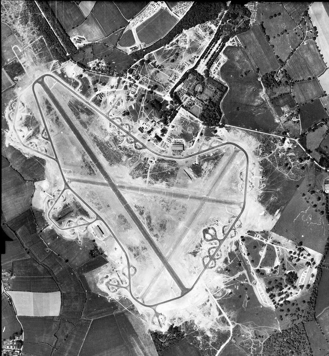
RAF Great Dunmow

Royal Air Force Great Dunmow or more simply RAF Great Dunmow is a former Royal Air Force station in the parish of Little Easton, Essex, England. The airfield...

Little Easton

Little Easton is a village and civil parish in Essex, England. The village is situated approximately 7 miles (11 km) east from the town of Bishop's Stortford...

Tilty

Tilty or Tylsey is a village and a civil parish in the Uttlesford district, in the county of Essex, England. In 2001 the population of the civil parish...

Tilty Abbey

Tilty Abbey was a Cistercian abbey in Tilty, Essex, England. It was dissolved 3 March 1536. The chapel, with a nave built circa 1220, became a parish church...

High Wood, Dunmow

High Wood, Dunmow is a 41.5-hectare (103-acre) biological Site of Special Scientific Interest in Great Dunmow in Essex. The local planning authority is...

Molehill Green

Molehill Green is a hamlet in Takeley parish in Essex, England, close to the perimeter of London Stansted Airport, The hamlet consists of approximately...

Nearby Amenities

Located within 500m of 51.896647,0.31446323
The data included in this document is from www.openstreetmap.org. The data is made available under ODbL.

Have you been to Broxted Common Wood?

Leave your review of Broxted Common Wood below (or comments, questions and feedback).