Cambridge Hill

Hill, Mountain in Cambridgeshire East Cambridgeshire

England

Cambridge Hill

A crossroads on Brinkley Road Brinkley to the left, Six Mile Bottom and Cambridge to the right, Weston Colville and (not very directly) Balsham straight ahead. The road behind the camera runs to Dullingham.
A crossroads on Brinkley Road Credit: John Sutton

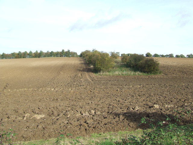
Cambridge Hill is a prominent natural feature located in Cambridgeshire, England. While commonly referred to as a hill, it is more accurately described as a gentle slope, rising gently from the surrounding landscape. It is situated near the city of Cambridge, approximately 1.5 miles southeast of the city center.

With an elevation of around 30 meters (98 feet) above sea level, Cambridge Hill offers picturesque views of the surrounding countryside, including fields, woodlands, and the nearby River Cam. The area is known for its tranquil ambiance, making it a popular destination for nature lovers and hikers.

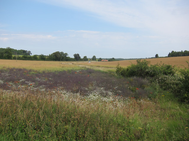
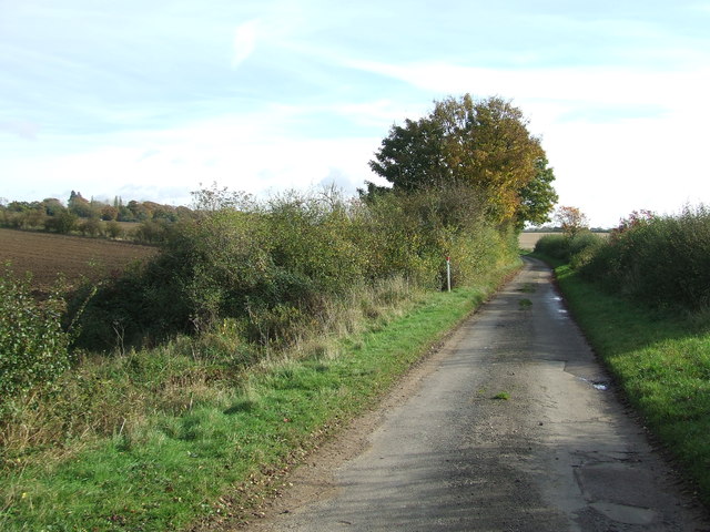
The hill itself is covered in lush green vegetation, characterized by grasses, wildflowers, and scattered trees. Its gentle incline provides an accessible terrain for people of all ages and fitness levels, making it a favorable location for recreational activities such as walking, jogging, and picnicking.

Cambridge Hill holds historical significance, with evidence of human activity dating back centuries. Archaeological discoveries in the vicinity suggest that the area was inhabited during the Roman period, and remnants of ancient settlements have been found nearby.

Furthermore, the hill is home to various species of wildlife, including birds, small mammals, and insects. It provides a habitat for several protected species, adding to its ecological importance.

Overall, Cambridge Hill offers a serene and scenic escape from the bustling city life, providing locals and visitors alike with an opportunity to immerse themselves in the natural beauty of Cambridgeshire.

If you have any feedback on the listing, please let us know in the comments section below.

Cambridge Hill Images

Images are sourced within 2km of 52.188386/0.34230152 or Grid Reference TL6057. Thanks to Geograph Open Source API. All images are credited.

A crossroads on Brinkley Road Brinkley to the left, Six Mile Bottom and Cambridge to the right, Weston Colville and (not very directly) Balsham straight ahead. The road behind the camera runs to Dullingham.
A crossroads on Brinkley Road
Brinkley to the left, Six Mile Bottom and Cambridge to the right, Weston Colville and (not very directly) Balsham straight ahead. The road behind the camera runs to Dullingham.
North-west from Westley Waterless Straight on for Westley Bottom.
North-west from Westley Waterless
Straight on for Westley Bottom.
Westley Waterless: water shortage After the drought summer of 2022 the water level looks low in the pond on Church Lane.

For comparison: <a href="https://www.geograph.org.uk/photo/3276200">TL6156 : Westley Waterless: Church Lane and pond</a> (2012).
Westley Waterless: water shortage
After the drought summer of 2022 the water level looks low in the pond on Church Lane. For comparison: TL6156 : Westley Waterless: Church Lane and pond (2012).
Westley Waterless: St Mary - restoration Two men were working on the bellcote - one on the lead, the other painting the louvres. The spirelet replaced a round tower which collapsed in 1855.

Inside are two exquisite 14th-century brasses: <a href="https://www.geograph.org.uk/photo/3276297">TL6156 : Westley Waterless: brass of Sir John Creke (detail)</a> and <a href="https://www.geograph.org.uk/photo/3276294">TL6156 : Westley Waterless: brass of Lady Creke (detail)</a>.
Westley Waterless: St Mary - restoration
Two men were working on the bellcote - one on the lead, the other painting the louvres. The spirelet replaced a round tower which collapsed in 1855. Inside are two exquisite 14th-century brasses: TL6156 : Westley Waterless: brass of Sir John Creke (detail) and TL6156 : Westley Waterless: brass of Lady Creke (detail).
Barn near Westley Waterless
Oil seed rape off Westley Bottom Road With a stream running towards Partridge Hall.
Oil seed rape off Westley Bottom Road
With a stream running towards Partridge Hall.
Westley Bottom Road A good route for cycling as it becomes a byway at the level crossing <a href="https://www.geograph.org.uk/photo/358030">TL5957 : Westley Bottom level crossing</a>.
Westley Bottom Road
A good route for cycling as it becomes a byway at the level crossing TL5957 : Westley Bottom level crossing.
Barns by Balsham Lane
Oil seed rape field Looking past a lone tree towards Westley Waterless.
Oil seed rape field
Looking past a lone tree towards Westley Waterless.
Oil seed rape off Westley Bottom Road Compare with <a href="https://www.geograph.org.uk/photo/2562306">TL6056 : Oil seed rape off Westley Bottom Road</a> from three months earlier.
Oil seed rape off Westley Bottom Road
Compare with TL6056 : Oil seed rape off Westley Bottom Road from three months earlier.
Westley Bottom Road Westley Bottom Road looking north east near to Westley Waterless, Cambridgeshire.
Westley Bottom Road
Westley Bottom Road looking north east near to Westley Waterless, Cambridgeshire.
Leading To Partridge Hall Track leading to Partridge Hall near to Westley Waterless, Cambridgeshire.
Leading To Partridge Hall
Track leading to Partridge Hall near to Westley Waterless, Cambridgeshire.
Country Road Westley Bottom Road looking south east near to Westley Waterless, Cambridgeshire.
Country Road
Westley Bottom Road looking south east near to Westley Waterless, Cambridgeshire.
Broad Belt Belt of trees marked on the map as Broad Belt near to Westley Waterless, Cambridgeshire.
Broad Belt
Belt of trees marked on the map as Broad Belt near to Westley Waterless, Cambridgeshire.
Road Junction Sign Road junction sign near to Westley Waterless, Cambridgeshire.
Road Junction Sign
Road junction sign near to Westley Waterless, Cambridgeshire.
Crossroads Crossroads near to Westley Waterless, Cambridgeshire.
Crossroads
Crossroads near to Westley Waterless, Cambridgeshire.
Tree Single tree in a large field near to Westley Waterless, Cambridgeshire.
Tree
Single tree in a large field near to Westley Waterless, Cambridgeshire.
Two Fields Two fields separated by a large hedge line near to Westley Waterless, Cambridgeshire.
Two Fields
Two fields separated by a large hedge line near to Westley Waterless, Cambridgeshire.
Show me another place!

Cambridge Hill is located at Grid Ref: TL6057 (Lat: 52.188386, Lng: 0.34230152)

Administrative County: Cambridgeshire

District: East Cambridgeshire

Police Authority: Cambridgeshire

What 3 Words

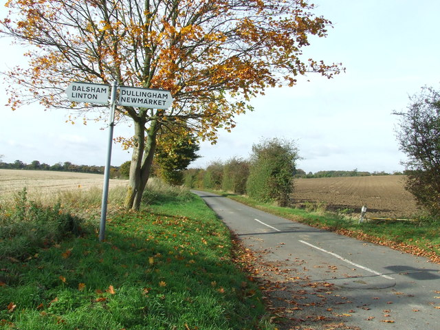
///major.safely.renewals. Near Balsham, Cambridgeshire

Related Wikis

Westley Waterless

Westley Waterless is a small village and civil parish in East Cambridgeshire, England, 5 miles south west of Newmarket. == History == The parish of Westley...

Six Mile Bottom

Six Mile Bottom is a hamlet within the parish of Little Wilbraham, near Cambridge in England. == Etymology == The hamlet was named in 1801, deriving its...

Dullingham railway station

Dullingham is a railway station that serves the village of Dullingham in Cambridgeshire, England. It is about 1 mile (1.6 km) north-west of the centre...

Six Mile Bottom railway station

Six Mile Bottom railway station is a disused railway station on the Ipswich to Cambridge line between Dullingham and Fulbourn. It served the village of...

Nearby Amenities

Located within 500m of 52.188386,0.34230152
Power: pole
Lat/Long: 52.1893583/0.348553
Power: pole
Lat/Long: 52.187207/0.3477523
Power: pole
Lat/Long: 52.1902068/0.3486925
Power: pole
Lat/Long: 52.1882758/0.3481278
The data included in this document is from www.openstreetmap.org. The data is made available under ODbL.

Have you been to Cambridge Hill?

Leave your review of Cambridge Hill below (or comments, questions and feedback).