Allington Hill

Hill, Mountain in Cambridgeshire East Cambridgeshire

England

Allington Hill

Ripe wheat, big sky, pylons Looking north from the byway from Great Wilbraham to Bottisham or Six Mile Bottom on a bright morning in early August. <a href="https://www.geograph.org.uk/photo/3299980">TL5658 : Power line and snowy fields</a> is a wintry view of the pylons, taken from nearer the road.
Ripe wheat, big sky, pylons Credit: John Sutton

Allington Hill, located in Cambridgeshire, is a notable hill that offers stunning views and recreational opportunities for visitors. Situated near the village of Allington, the hill is part of the wider Cambridgeshire landscape.

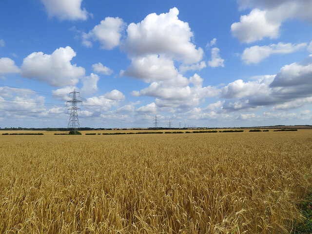
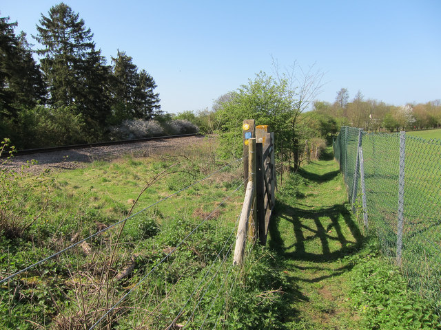
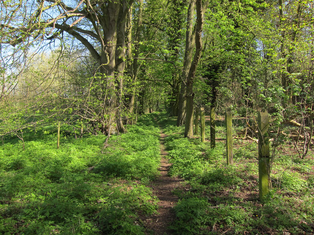
Rising to an elevation of approximately 79 meters (259 feet) above sea level, Allington Hill is not a towering mountain but still presents a prominent landform in the area. The hill is characterized by its gently sloping sides and a rounded summit, covered in verdant grass and scattered with trees.

The hill is a popular destination for outdoor enthusiasts, attracting hikers, walkers, and nature lovers. Numerous footpaths crisscross the hill, allowing visitors to explore its diverse flora and fauna. The panoramic views from the summit are particularly breathtaking, providing a sweeping vista of the surrounding countryside.

Allington Hill also holds historical significance. It is believed to have played a role during the English Civil War, with remnants of fortifications and earthworks still visible today. These remnants attract history enthusiasts keen on exploring the area's past.

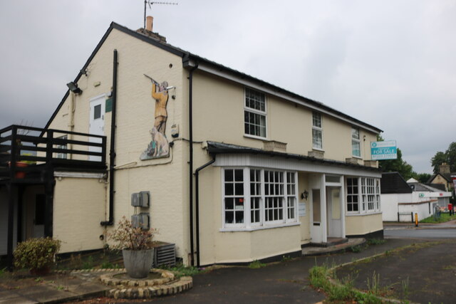
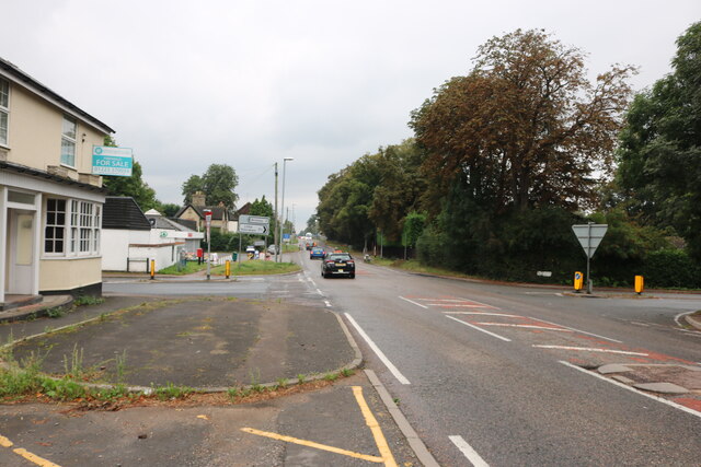
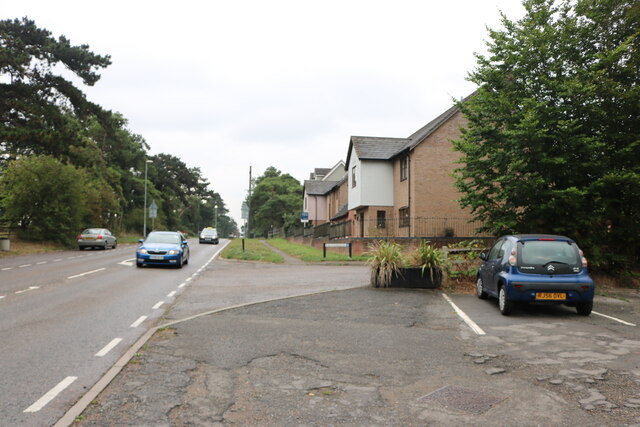
The hill is easily accessible, with parking facilities available nearby. It is also a short distance from the village of Allington, where visitors can find amenities such as cafes, shops, and accommodations.

In summary, Allington Hill in Cambridgeshire is a picturesque and historically significant hill that offers panoramic views, diverse wildlife, and recreational opportunities. It is a popular destination for those seeking outdoor adventures or a tranquil escape amidst the beauty of nature.

If you have any feedback on the listing, please let us know in the comments section below.

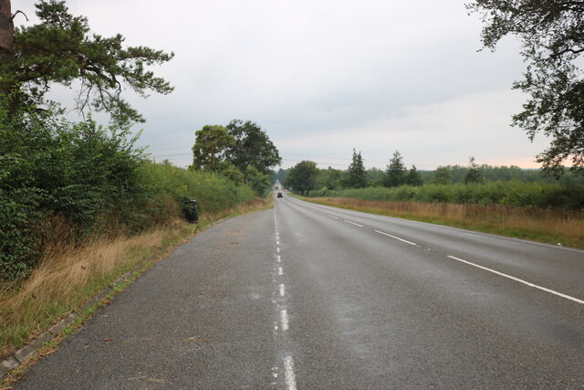
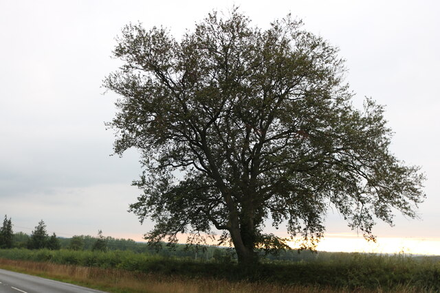
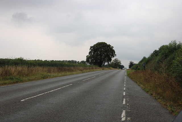
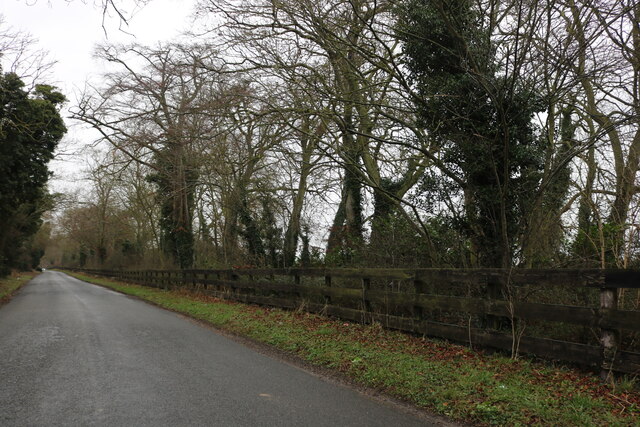
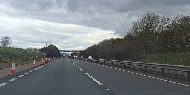
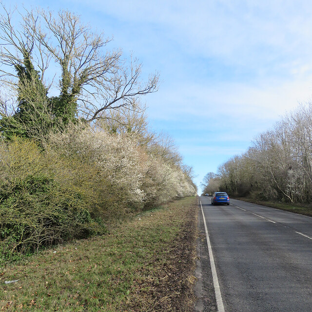
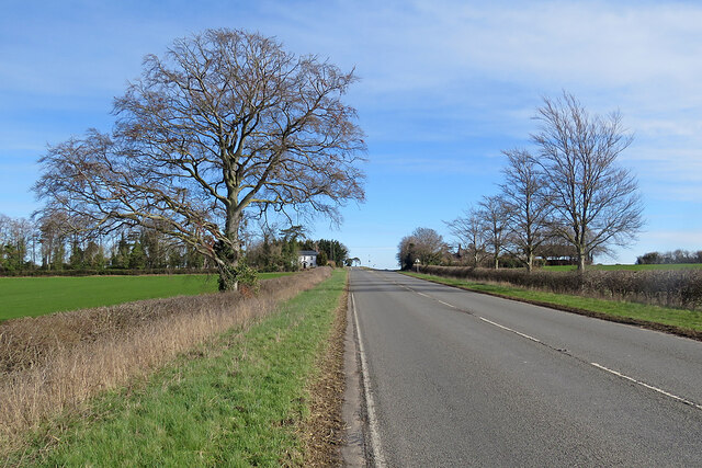
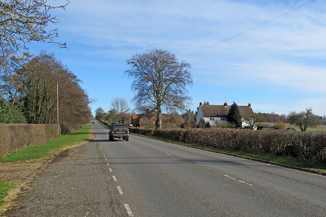
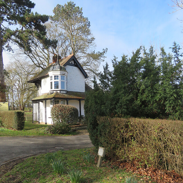
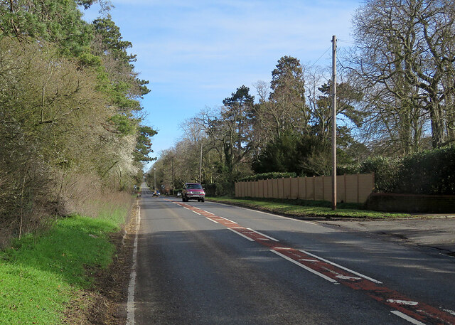
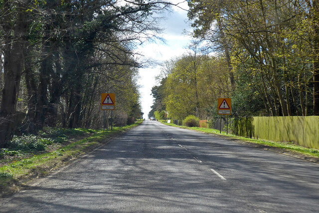
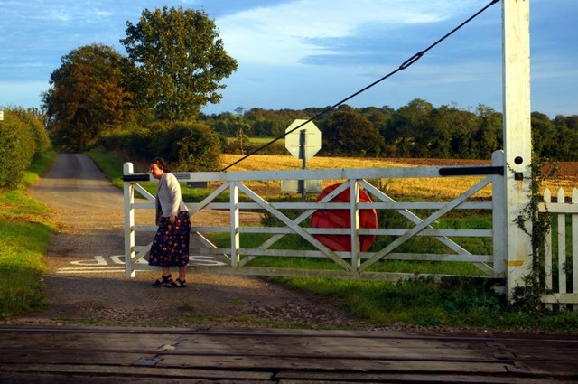
Allington Hill Images

Images are sourced within 2km of 52.204598/0.31047221 or Grid Reference TL5758. Thanks to Geograph Open Source API. All images are credited.

Ripe wheat, big sky, pylons Looking north from the byway from Great Wilbraham to Bottisham or Six Mile Bottom on a bright morning in early August. <a href="https://www.geograph.org.uk/photo/3299980">TL5658 : Power line and snowy fields</a> is a wintry view of the pylons, taken from nearer the road.
Ripe wheat, big sky, pylons
Looking north from the byway from Great Wilbraham to Bottisham or Six Mile Bottom on a bright morning in early August. TL5658 : Power line and snowy fields is a wintry view of the pylons, taken from nearer the road.
Empty pub in Six Mile Bottom The old Green Man is up for sale, but will it be a pub?
Empty pub in Six Mile Bottom
The old Green Man is up for sale, but will it be a pub?
London Road, Six Mile Bottom By the closed Green Man pub.
London Road, Six Mile Bottom
By the closed Green Man pub.
London Road, Six Mile Bottom
Layby on London Road, Six Mile Bottom
Tree on London Road, Six Mile Bottom
London Road, Six Mile Bottom
Swaffham Heath Road near Six Mile Bottom
A11 northbound view, approaching Heath Road bridge
Early blossom by the A1304 The road from Six Mile Bottom to Newmarket (ahead) on a fine March morning.
Early blossom by the A1304
The road from Six Mile Bottom to Newmarket (ahead) on a fine March morning.
On the A1304 in early March The road from the A11 near Six Mile Bottom to Newmarket (ahead).
On the A1304 in early March
The road from the A11 near Six Mile Bottom to Newmarket (ahead).
On the way to Newmarket The A1304 north-east of Six Mile Bottom.
On the way to Newmarket
The A1304 north-east of Six Mile Bottom.
Six Mile Bottom: The Lodge at Swynford Manor A tile-hung Victorian lodge cottage with a delicate cupola.
Six Mile Bottom: The Lodge at Swynford Manor
A tile-hung Victorian lodge cottage with a delicate cupola.
Six Mile Bottom: London Road The A1304 is the last stretch of the journey from London to Newmarket (ahead) via the M11 and A11.
Six Mile Bottom: London Road
The A1304 is the last stretch of the journey from London to Newmarket (ahead) via the M11 and A11.
A1304 London Road entering Six Mile Bottom The former route of the A11 through Newmarket.
A1304 London Road entering Six Mile Bottom
The former route of the A11 through Newmarket.
Westley Bottom level crossing A do-it-yourself, unstaffed crossing on the former Great Eastern Railway line from Cambridge to Newmarket and on to Ipswich.
Westley Bottom level crossing
A do-it-yourself, unstaffed crossing on the former Great Eastern Railway line from Cambridge to Newmarket and on to Ipswich.
Footpath by the railway Heading towards Six Mile Bottom, with a spur path to <a href="https://www.geograph.org.uk/photo/1009054">TL5856 : St George's church</a>
Footpath by the railway
Heading towards Six Mile Bottom, with a spur path to TL5856 : St George's church
Footpath by the railway From Six Mile Bottom to Westley Bottom.
Footpath by the railway
From Six Mile Bottom to Westley Bottom.
Show me another place!

Allington Hill is located at Grid Ref: TL5758 (Lat: 52.204598, Lng: 0.31047221)

Administrative County: Cambridgeshire

District: East Cambridgeshire

Police Authority: Cambridgeshire

What 3 Words

///blessing.martini.intersect. Near Bottisham, Cambridgeshire

Nearby Locations

Allington Hill

Related Wikis

Six Mile Bottom

Six Mile Bottom is a hamlet within the parish of Little Wilbraham, near Cambridge in England. == History == In the 1790s the only building at Six Mile...

Six Mile Bottom railway station

Six Mile Bottom railway station is a disused railway station on the Ipswich to Cambridge line between Dullingham and Fulbourn. It served the village of...

Great Wilbraham

Great Wilbraham is a small village situated in a rural area some seven miles (11 km) to the east of Cambridge, between the edge of an area of low-lying...

Little Wilbraham

Little Wilbraham is a village in Cambridgeshire, England, 6 miles (10 km) east of Cambridge between the A1303 and the A11. It is in the district of South...

Great Wilbraham Preceptory

Great Wilbraham Preceptory is a preceptory in Great and Little Wilbraham, Cambridgeshire. Much of the Church of Saint Nicholas at Great Wilbraham dates...

Swaffham Bulbeck

Swaffham Bulbeck is a small village in East Cambridgeshire, England. Swaffham Bulbeck is located about 8 miles (13 km) from the city of Cambridge, and...
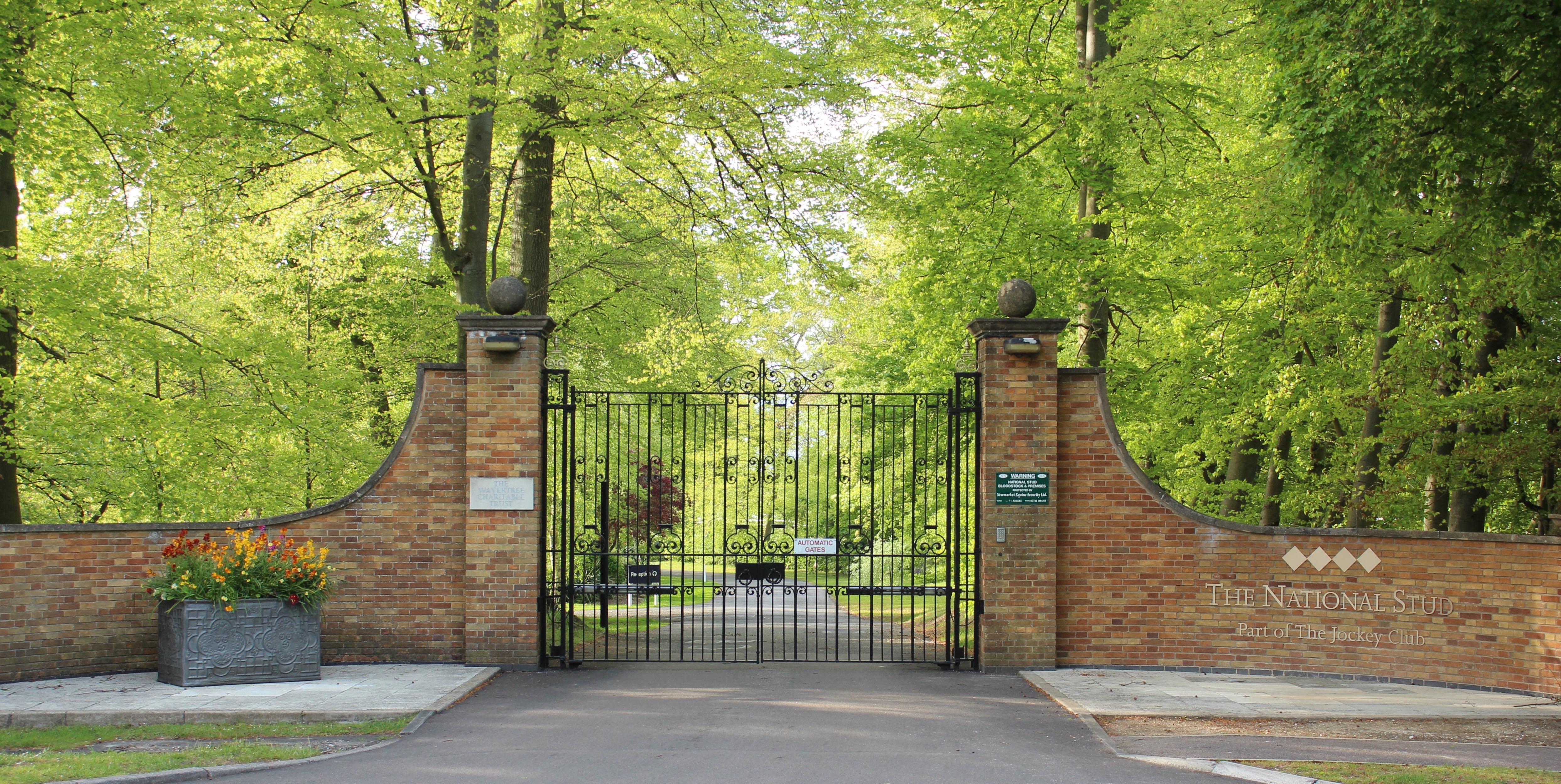
The National Stud

The National Stud is a United Kingdom Thoroughbred horse breeding farm located two miles from Newmarket. The Stud originated in 1916 as a result of a gift...

RAF Bottisham

Royal Air Force Bottisham or more simply RAF Bottisham is a former Royal Air Force station located 5 miles (8 km) east of Cambridge, Cambridgeshire, England...

Nearby Amenities

Located within 500m of 52.204598,0.31047221
Power: pole
Lat/Long: 52.2014589/0.3085534
Power: pole
Lat/Long: 52.2018107/0.3111797
Power: pole
Lat/Long: 52.2061314/0.3158168
Power: pole
Lat/Long: 52.2058326/0.315427
Power: pole
Lat/Long: 52.2025685/0.3050075
Power: pole
Lat/Long: 52.2028102/0.3122311
Power: pole
Lat/Long: 52.2013273/0.3106322
Power: pole
Lat/Long: 52.2019898/0.30681
Power: pole
Lat/Long: 52.2068262/0.3166219
Power: pole
Lat/Long: 52.2033229/0.3127944
Power: pole
Lat/Long: 52.2003311/0.3121422
Power: pole
Lat/Long: 52.2008818/0.3104041
Power: pole
Lat/Long: 52.2052784/0.314925
Power: pole
Lat/Long: 52.2037932/0.3133308
Power: pole
Lat/Long: 52.2048056/0.3143873
Power: pole
Lat/Long: 52.2023302/0.3117161
Power: pole
Lat/Long: 52.2043059/0.3138833
Power: pole
Lat/Long: 52.2058661/0.3174462
Power: pole
Lat/Long: 52.2063182/0.3160652
Barrier: block
Lat/Long: 52.2027849/0.3040478
Power: pole
Lat/Long: 52.2028965/0.3040921
The data included in this document is from www.openstreetmap.org. The data is made available under ODbL.

Have you been to Allington Hill?

Leave your review of Allington Hill below (or comments, questions and feedback).