Crapham Hill
Hill, Mountain in Sussex Eastbourne
England
Crapham Hill

Crapham Hill is a prominent hill located in the county of Sussex, England. Situated in the South Downs National Park, it offers stunning views of the surrounding countryside and is a popular spot for nature enthusiasts and hikers alike.
With an elevation of approximately 248 meters (814 feet), Crapham Hill is not considered a mountain but rather a hill. Despite its modest height, it stands out due to its distinctive shape and the lush vegetation covering its slopes.
The hill is primarily composed of chalk, a characteristic feature of the South Downs region. This chalky composition gives the hill a unique appearance, particularly when contrasted with the greenery that blankets its sides.
Crapham Hill is home to a diverse range of flora and fauna. The rich chalk grassland supports a variety of wildflowers, including orchids and cowslips, which create a vibrant tapestry of colors during the spring and summer months. The hill also provides a habitat for numerous bird species, such as skylarks and kestrels, as well as small mammals like rabbits and foxes.
Visitors to Crapham Hill can enjoy a network of well-maintained footpaths that crisscross the area, allowing them to explore its natural beauty at their own pace. The hill's summit provides panoramic views of the surrounding landscape, including the nearby villages and rolling hills of Sussex.
Overall, Crapham Hill is a picturesque and accessible destination for those seeking to immerse themselves in the natural beauty of Sussex.
If you have any feedback on the listing, please let us know in the comments section below.
Crapham Hill Images
Images are sourced within 2km of 50.760572/0.23992321 or Grid Reference TV5898. Thanks to Geograph Open Source API. All images are credited.


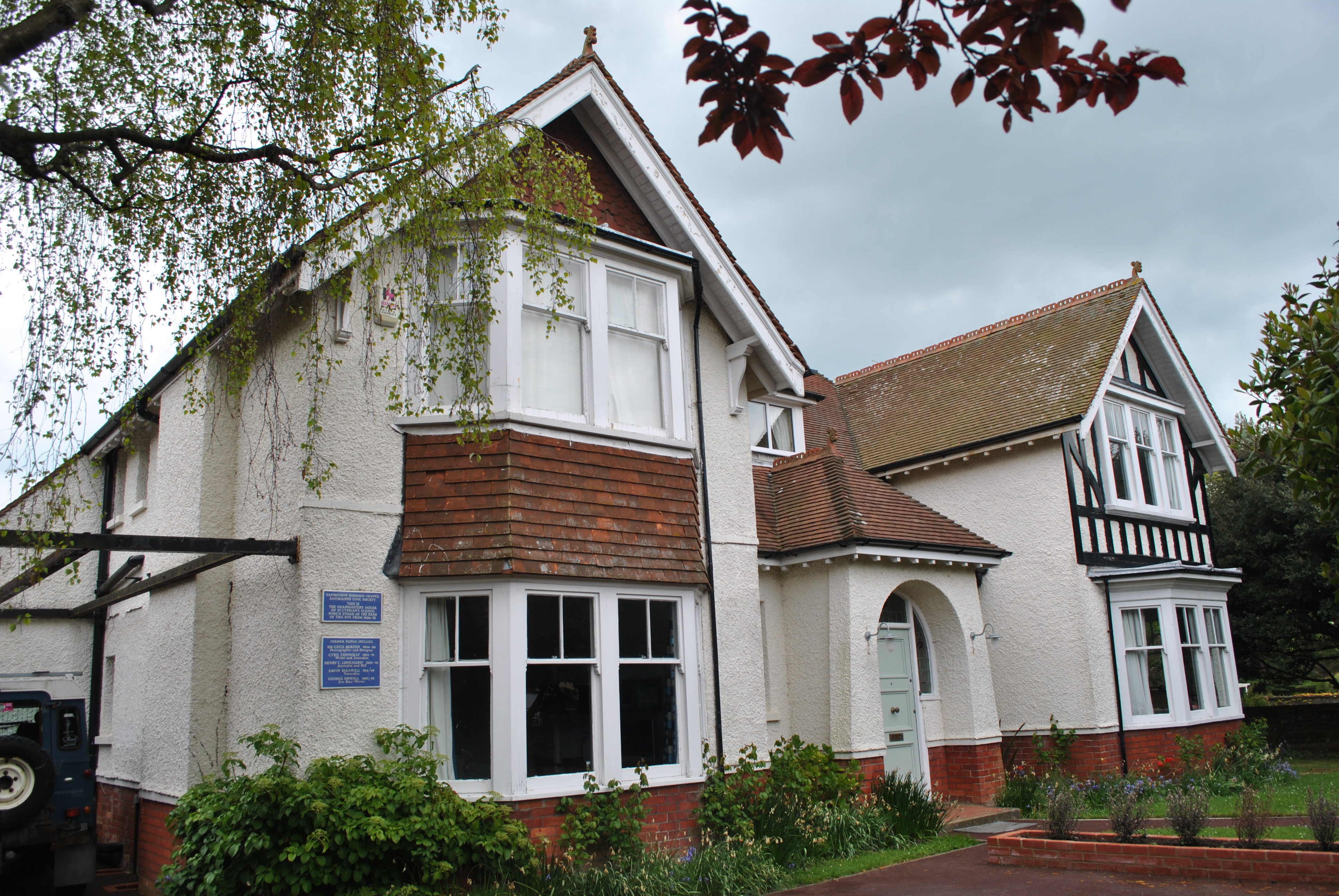
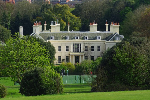
![Eastbourne buildings [21] Trevin Towers, Gaudick Road, is a large house, built in 1894. The house later became a nursing home and it is currently part of the university. There was a large extension in the 1900s and some small later C20 additions. Roughly &#039;L&#039; shaped plan, with the east wing mainly a service wing. Constructed in the Vernacular Revival style. The ground floor is mostly brick, the first floor is tile hung. There are a number of gables and dormers which are timber framed with plastered infill. The roof is tile. Many original internal features and fittings remain. Listed, grade II, with details at: <span class="nowrap"><a title="https://historicengland.org.uk/listing/the-list/list-entry/1391156" rel="nofollow ugc noopener" href="https://historicengland.org.uk/listing/the-list/list-entry/1391156">Link</a><img style="margin-left:2px;" alt="External link" title="External link - shift click to open in new window" src="https://s1.geograph.org.uk/img/external.png" width="10" height="10"/></span>
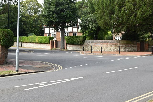
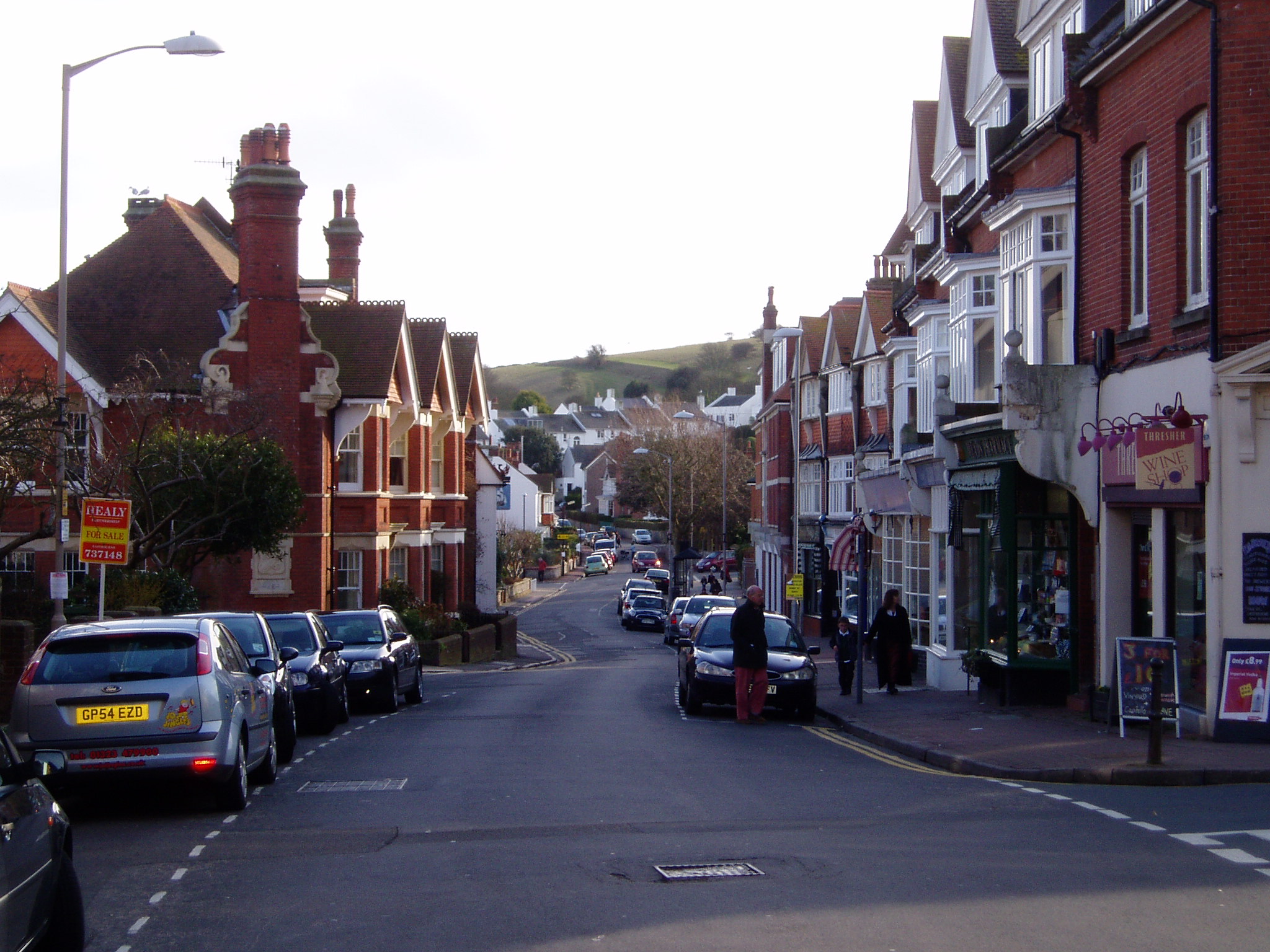
Eastbourne is a town and seaside resort on the south coast of East Sussex, some 54 miles south of London and about 19 miles east of Brighton. Although there is evidence of settlement from the Stone Age onwards, Eastbourne remained an area of small rural settlements until the railway arrived in 1849. A resort, built &quot;for gentlemen by gentlemen&quot;, was planned and the town&#039;s growth accelerated from a population of less than 4,000 in 1851 to nearly 35,000 by 1891. Tourism is a large and important part of the economy of the town.](https://s2.geograph.org.uk/geophotos/07/20/18/7201834_69129ef1.jpg)
Crapham Hill is located at Grid Ref: TV5898 (Lat: 50.760572, Lng: 0.23992321)
Administrative County: East Sussex
District: Eastbourne
Police Authority: Sussex
What 3 Words
///save.gums.dare. Near Friston, East Sussex
Nearby Locations
Related Wikis
Meads
Meads is an area of the town of Eastbourne in the English county of East Sussex. It is situated at the westerly end of the town below the South Downs....

Moira House School
Moira House School was an independent day and boarding school for girls aged 6 weeks to 18 years in Eastbourne, East Sussex, England, from 1887 to 2020...

Murder of Jessie Earl
Jessie Earl (16 December 1957 – between 15 and 18 May 1980) was a 22-year-old student who disappeared from Eastbourne, England in May 1980. It was not...
St Cyprian's School
St Cyprian's School was an English preparatory school for boys, which operated in the early 20th century in Eastbourne, East Sussex. Like other preparatory...
St Andrew's Prep
St Andrew's Prep (officially St Andrew's Preparatory School) is an independent boarding and day school for boys and girls aged 9 months to 13 years in...

Gildredge House Free School
Gildredge House Free School is a mixed free school located in Eastbourne, East Sussex, England. It opened in 2013 and caters for students aged 4–19 years...
Compton Place
Compton Place is a mansion house in the parish of Eastbourne, East Sussex, England. It was rebuilt from 1726 by Sir Spencer Compton (later 1st Earl of...
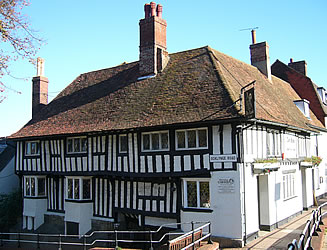
Lamb Theatre
The Lamb Theatre is a fringe theatre, situated above the Lamb Inn in Old Town, Eastbourne. The first pub theatre in Eastbourne, it hosts a range of performance...
Nearby Amenities
Located within 500m of 50.760572,0.23992321Have you been to Crapham Hill?
Leave your review of Crapham Hill below (or comments, questions and feedback).